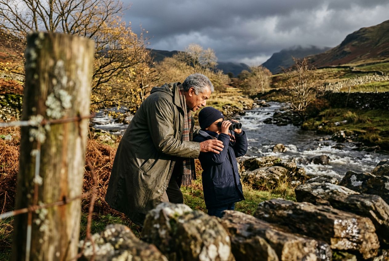
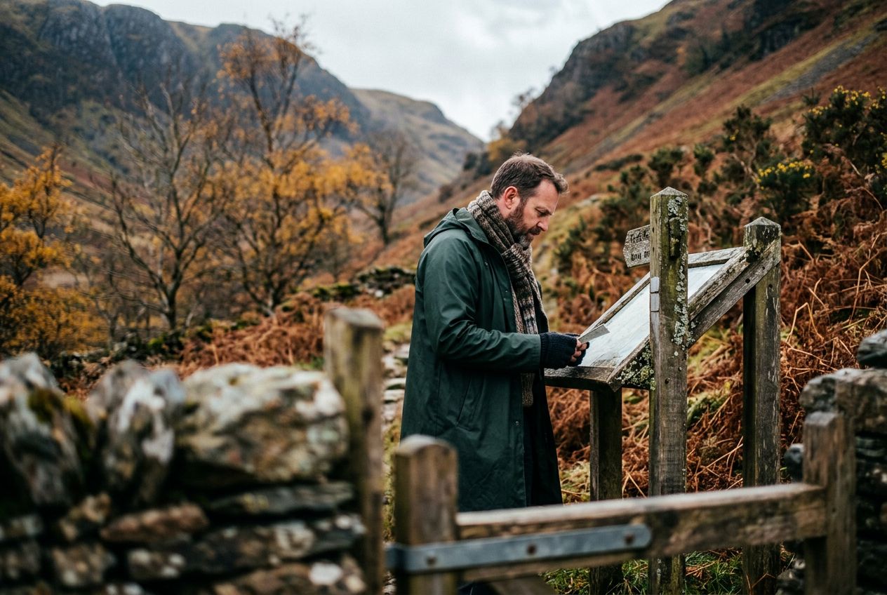
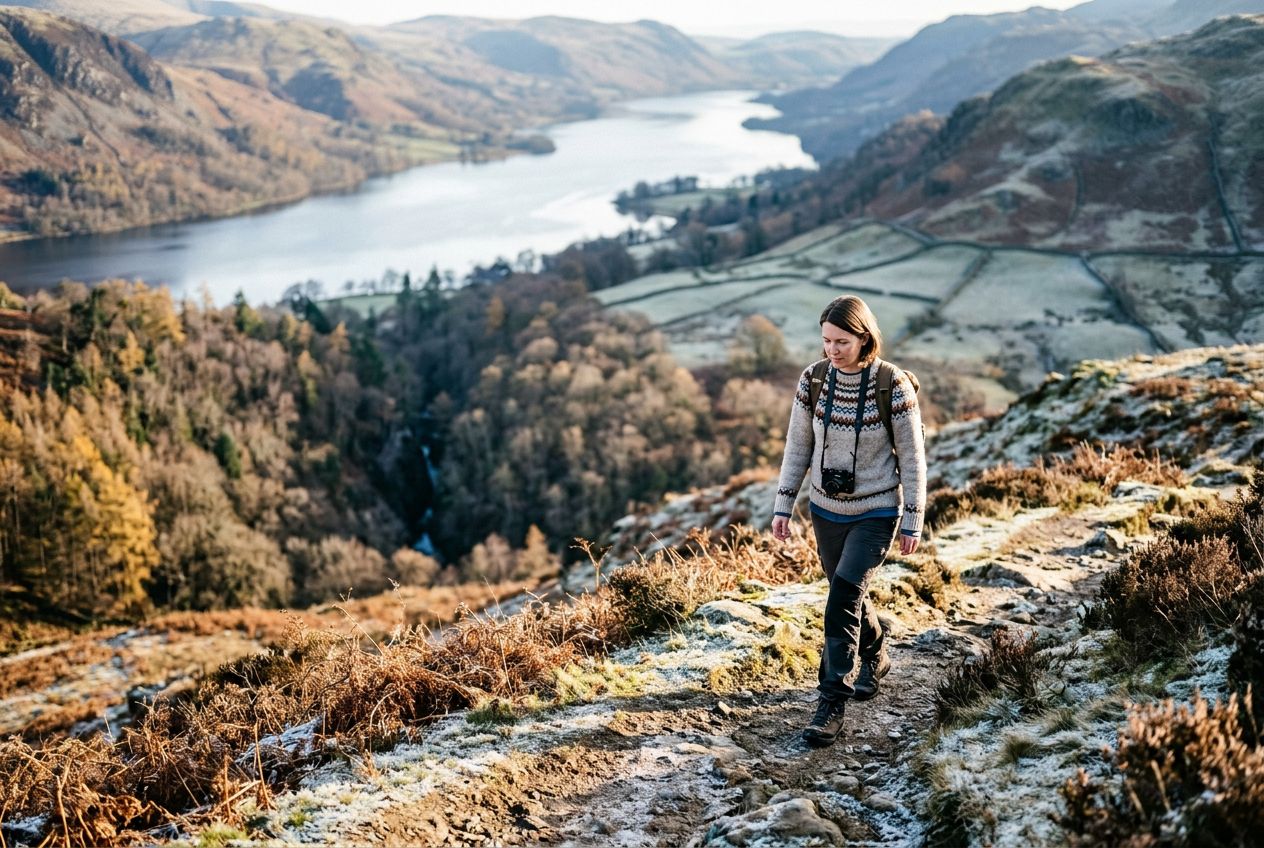
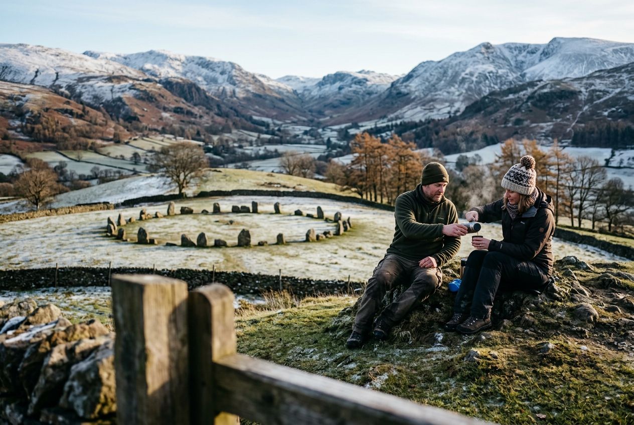
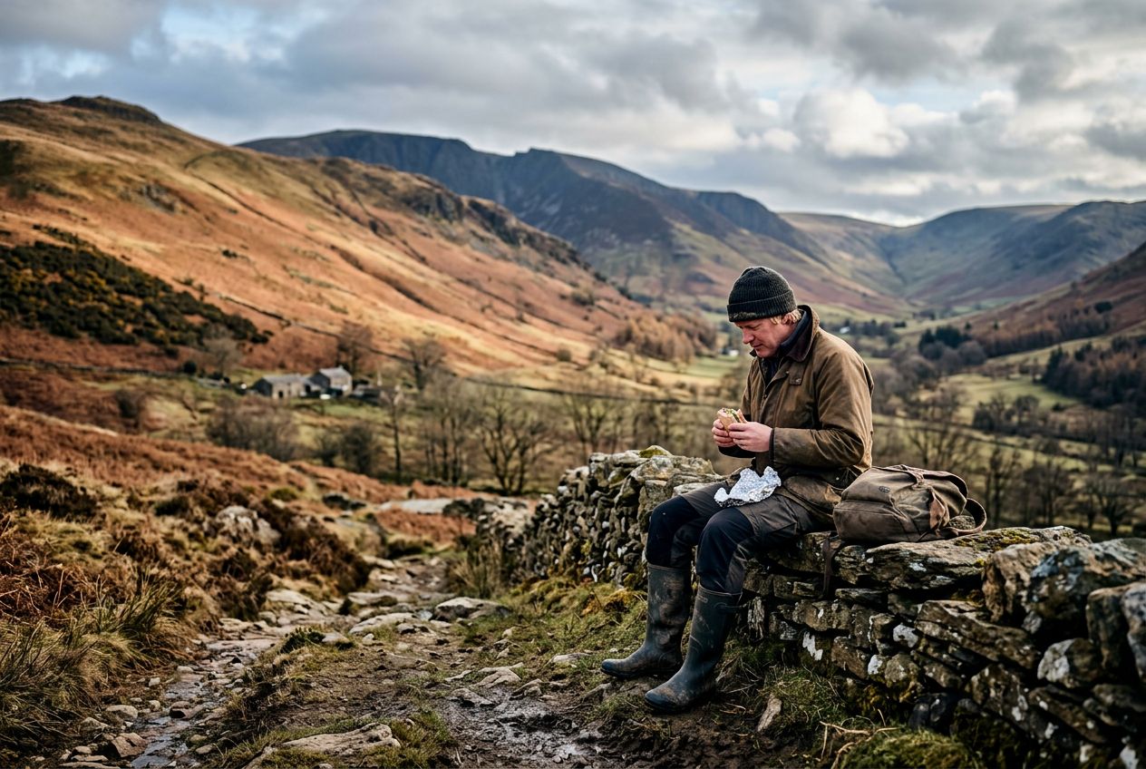
Bannerdale CragsCrags on the fells west of Mungrisdale, explored on this walk.
Écouter un parcours
50 000 histoires n'attendent que toi. Lance-en une.
Parcours
Sur la carte
Chaque repère est un parcours, et chaque parcours est plein d'histoires.
 Route Stories
50 000 histoires n'attendent que toi. Lance-en une.
Chaque repère est un parcours, et chaque parcours est plein d'histoires.




 90 langues




















Welcome to a walk over the fells west of Mungrisdale, covering Bannerdale Crags and Souther Fell, with views across to Blencathra.
Un itinéraire circulaire de 11.9 km au départ de Greystoke pour courir ou faire du vélo, avec 565 m de dénivelé positif.