



















Écouter un parcours

50 000 histoires n'attendent que toi. Lance-en une.

Parcours

Walk the Bay Area Ridge Trail in Sausalito., California

Walk the Bay Area Ridge Trail in Sausalito.

90 langues
Touchez pour écouter des extraits
Convient pourMarcheCourse à piedVélo
En bord de mer2 lieux en chemin

Des histoires étonnantes en explorant.

Touchez pour écouter des extraits

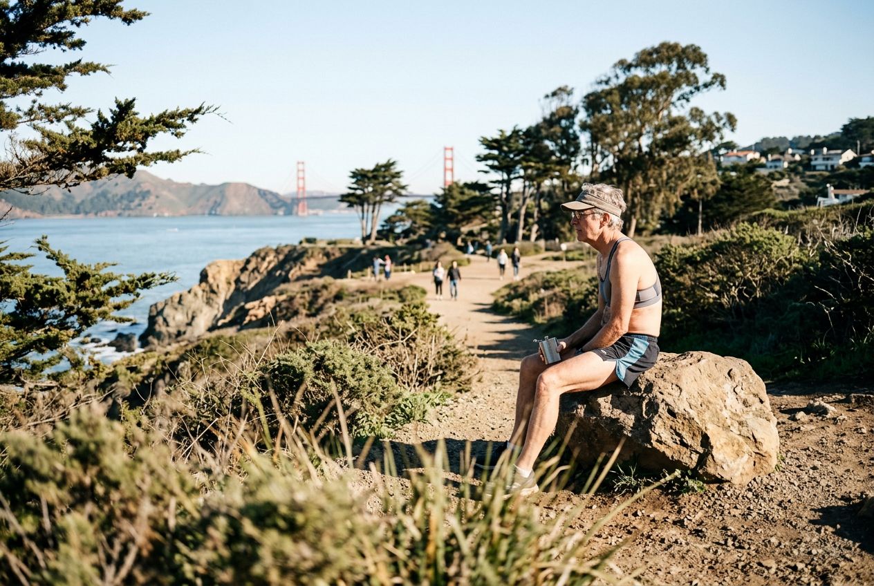
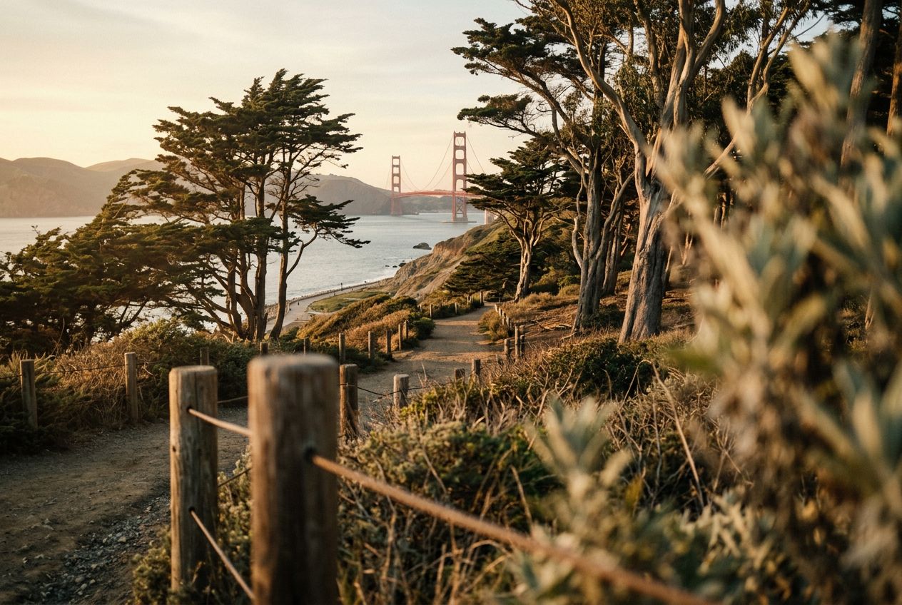
Welcome to a paved route across the Golden Gate Bridge with a terraced overlook on the northeast side and a foot path beneath the bridge leading down to Fort Baker and Sausalito. Rest areas have restrooms, water, and a memorial to seafarers. Expect views of San Francisco, Alcatraz, and the Marin Headlands, plus strong wind and fog at times.

En chemin

1
Golden Gate BridgeCrossed by the trail, with views of the San Francisco skyline, Alcatraz, and the Marin Headlands.
2
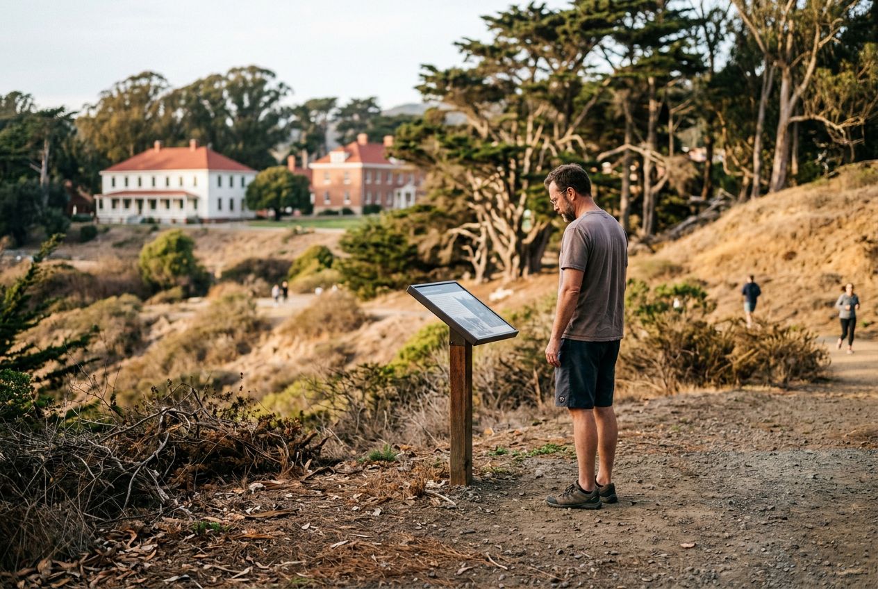
Fort BakerReached by a foot path that runs beneath the bridge down toward the fort and Sausalito.

L'itinéraire

Distance5.4 km
Marche≈ 1 h 25
Course à pied≈ 39 min
Montée↑ 127 m
ParcoursBoucle

Un itinéraire circulaire de 5.4 km au départ de Sausalito pour marcher, courir ou faire du vélo, avec 127 m de dénivelé positif.

Dénivelé↑ 127 m au total

Avant de partir

DépartVista Point Trail, Sausalito, California, 24129Ouvrir le départ dans Plans →
ArrivéeRetour au point de départ
Histoires racontées en
Partage-le gratuitement avec 5 personnes