50 000 histoires n'attendent que toi. Lance-en une.
Parcours
Sur la carte
Chaque repère est un parcours, et chaque parcours est plein d'histoires.
Run the Rustlers Gulch Trail in Mount Crested Butte.
90 langues
Touchez pour écouter des extraits
Convient pourCourse à piedVélo
Campagne2 lieux en chemin
Des histoires étonnantes en explorant.
Touchez pour écouter des extraits
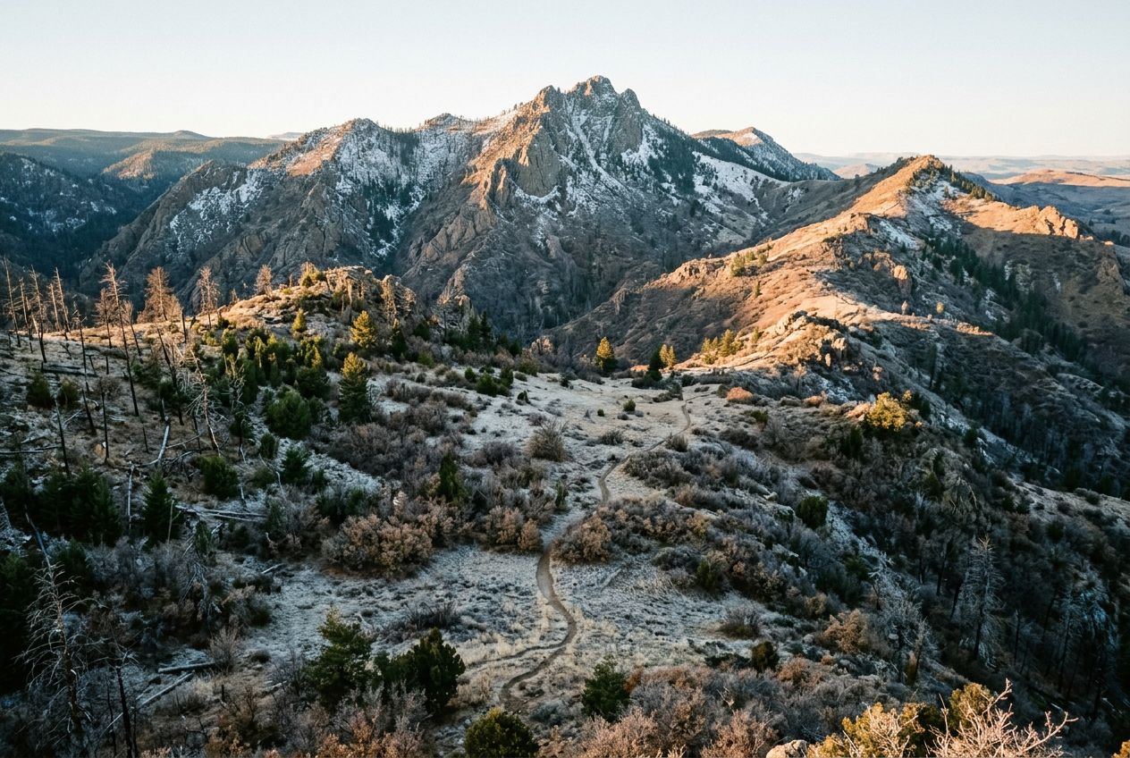
This is a demanding run through the Colorado Rockies, moving from dark spruce-fir forest into open meadows that bloom with blue lupines and Indian paintbrush in wildflower season. Views open to cirques and jagged peaks, including Precarious Peak, before reaching the upper basin of Rustler's Gulch. The access road is steep and rocky, so a high-clearance 4x4 may be needed; otherwise park lower down and walk the extra mile.
En chemin
1
Precarious PeakVisible from the route, along with expansive views of cirques and rugged peaks.
2
Rustler's Gulch upper basinReached after the climb, with meadows of blue lupines and Indian paintbrush in wildflower season.
L'itinéraire
Distance16.8 km
Course à pied≈ 2 h 10
Vélo≈ 1 h 38
Montée↑ 583 m
ParcoursAller-retour
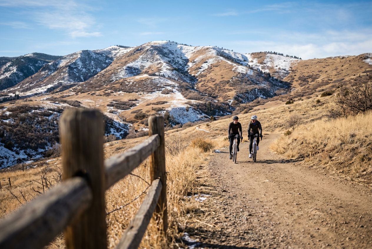
Un itinéraire aller-retour de 16.8 km au départ de Mount Crested Butte pour courir ou faire du vélo, avec 583 m de dénivelé positif.
 Route