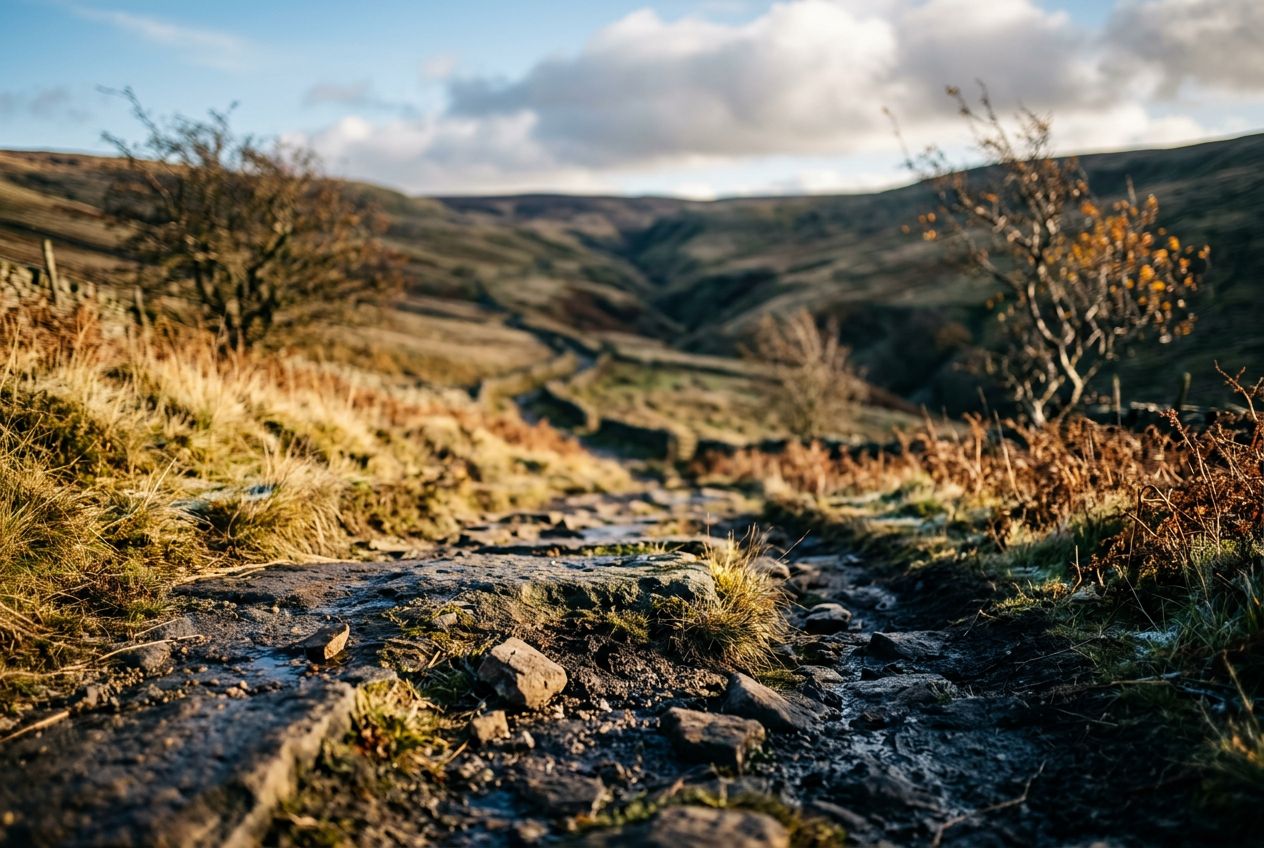
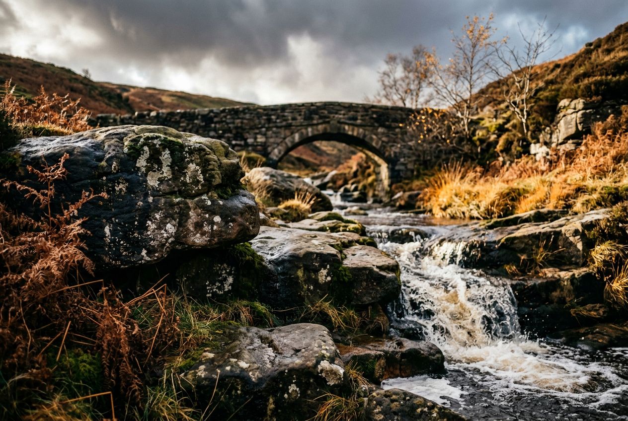
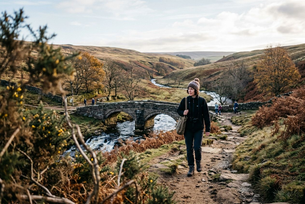
Three Shires HeadThe point where the counties of Cheshire, Derbyshire and Staffordshire meet.
ルートを聴く
5万の物語が待っています。ひとつ再生してみましょう。
ルート
地図で見る
ピンひとつがルートひとつ。どのルートも物語でいっぱいです。
 Route Stories
5万の物語が待っています。ひとつ再生してみましょう。
ピンひとつがルートひとつ。どのルートも物語でいっぱいです。




 90の言語




















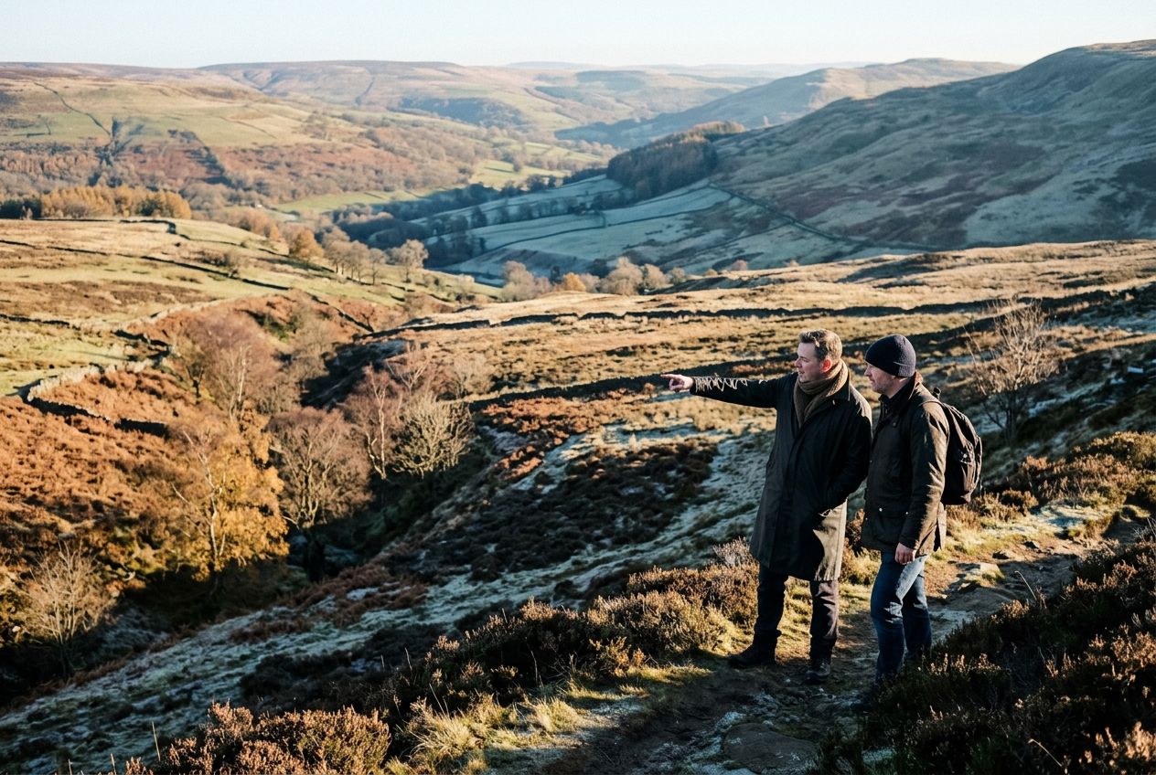
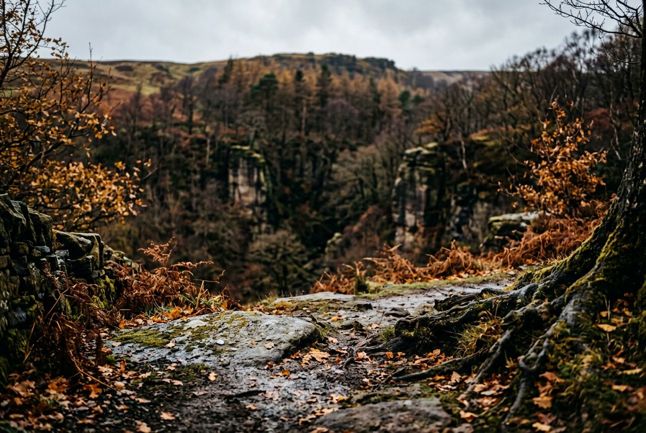
Here is a Peak District walk around Three Shires Head, the spot where the counties of Cheshire, Derbyshire and Staffordshire meet.
Buxtonから歩き、走り、自転車で、周回ルートです。全長7.6 km、登り180 m。