Hoor een route

50.000 verhalen wachten om verteld te worden. Druk op play.

Routes

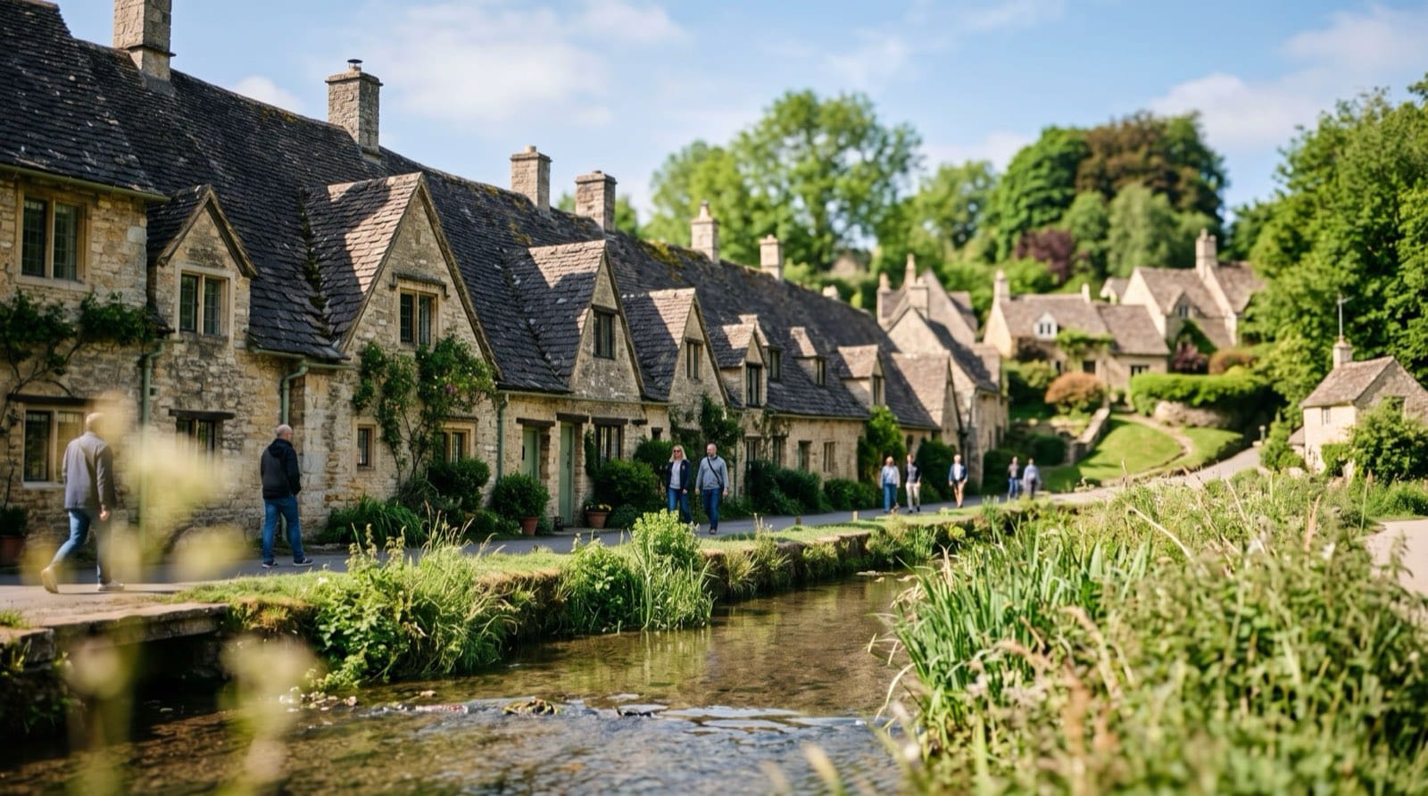
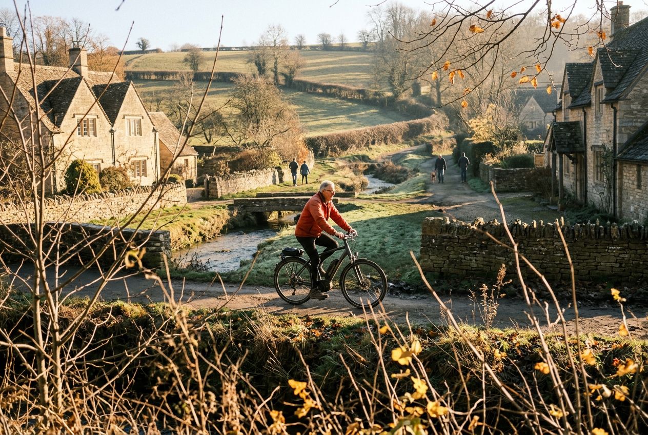
De stenen wevershuisjes van Arlington Row langs de River Coln in Bibury, Gloucestershire

Wandelingen in Gloucestershire

17 routes met verhalen over de plekken die je passeert, verteld en met eigen muziek. Wandel, ren of fiets ze.

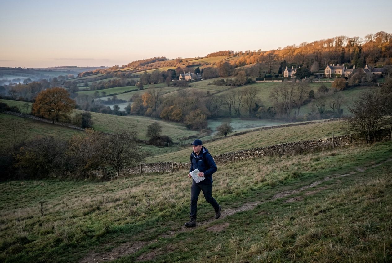
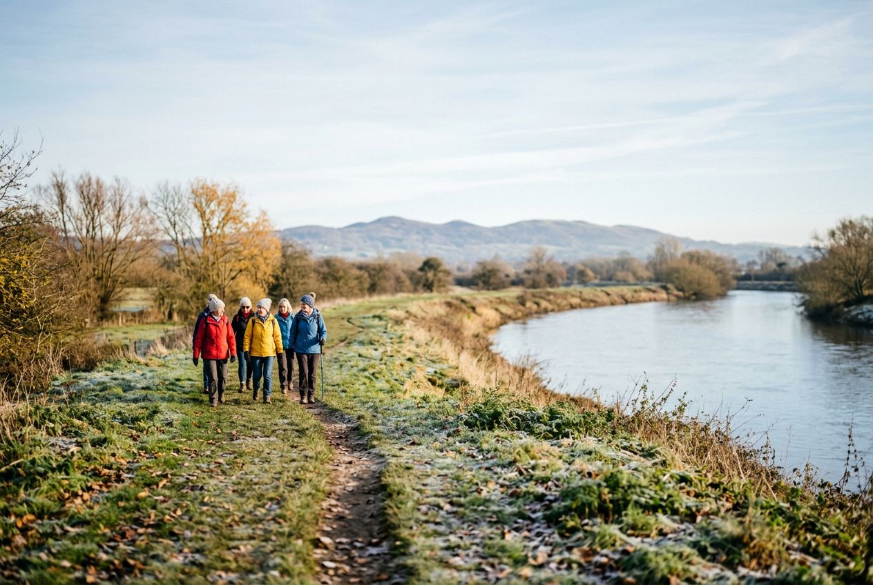
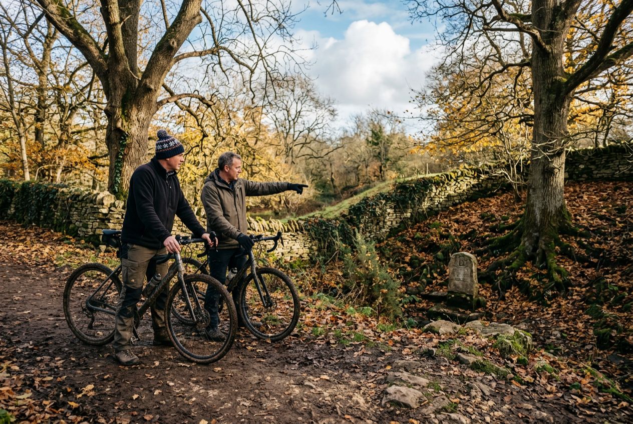
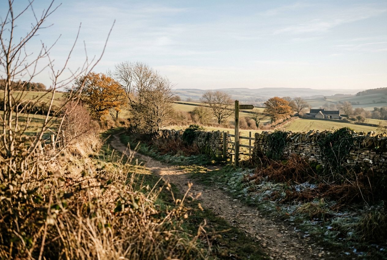
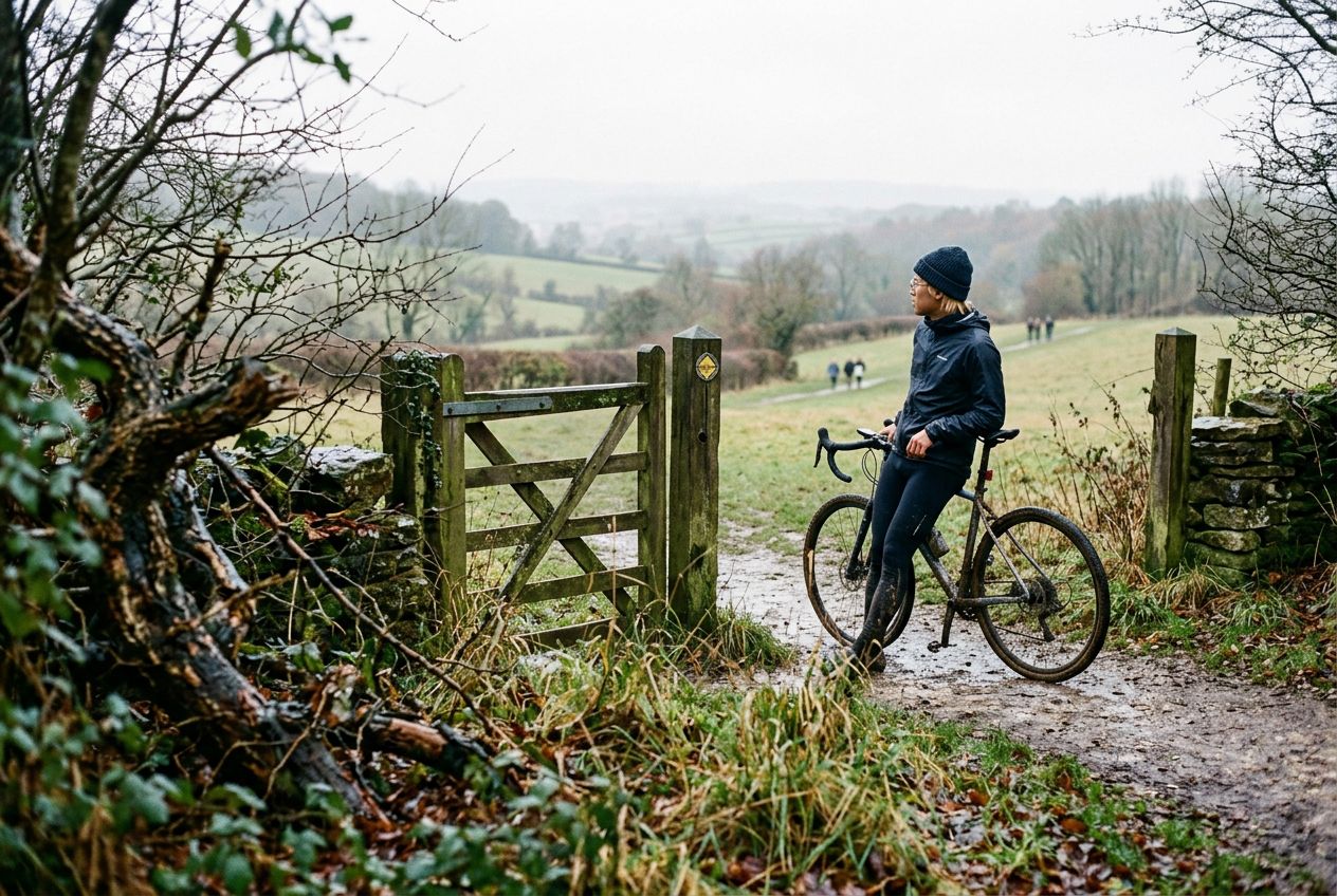
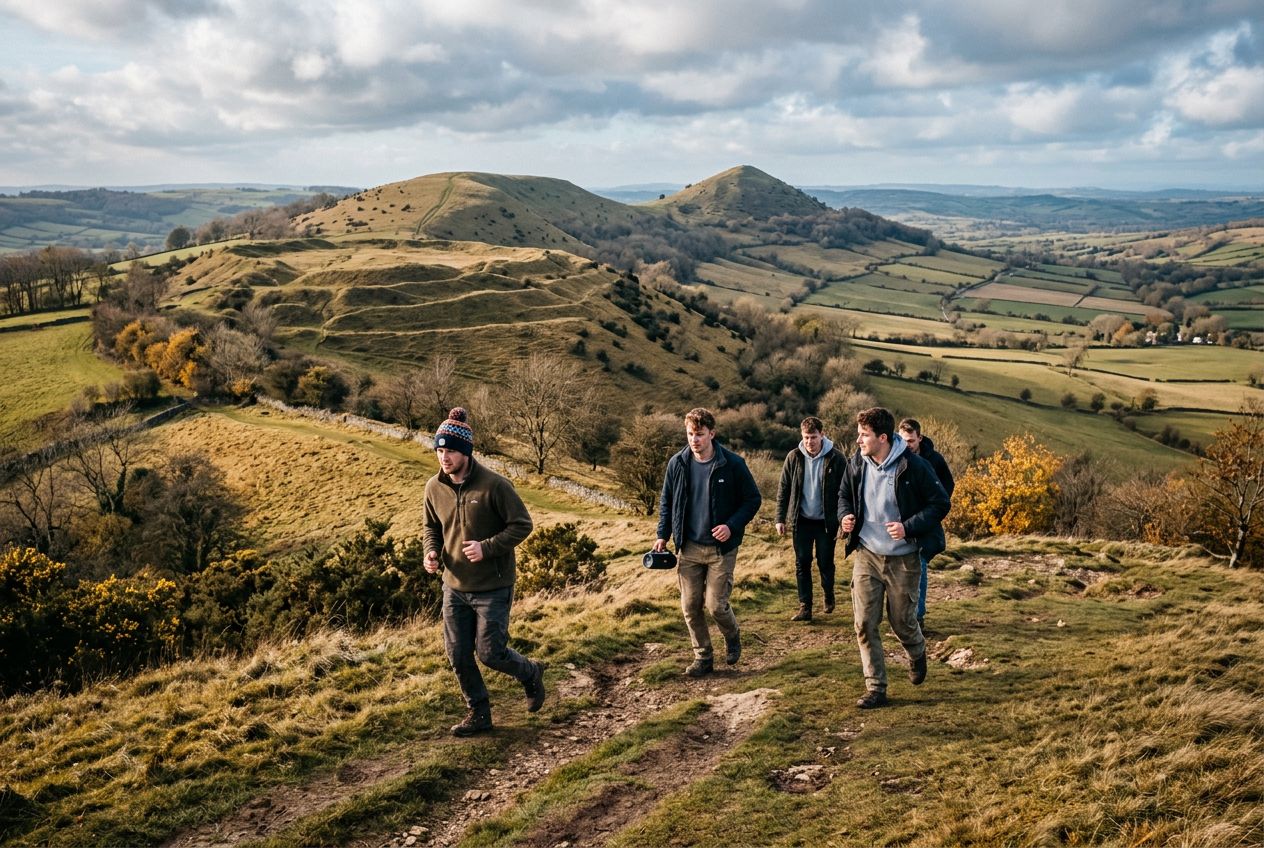
Illustratieve afbeelding

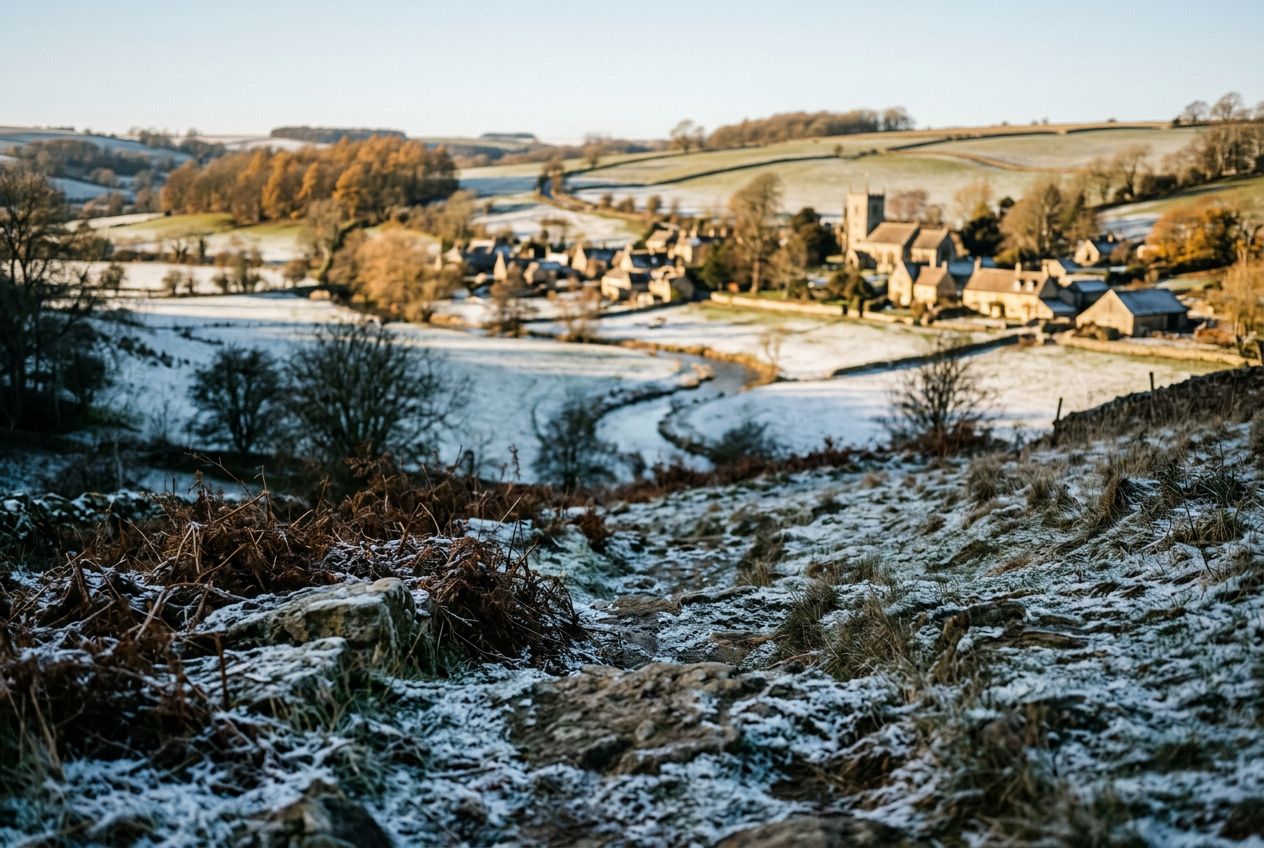
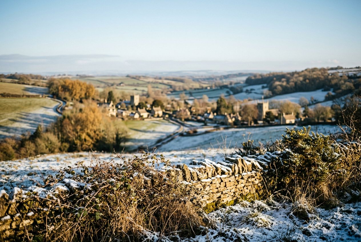
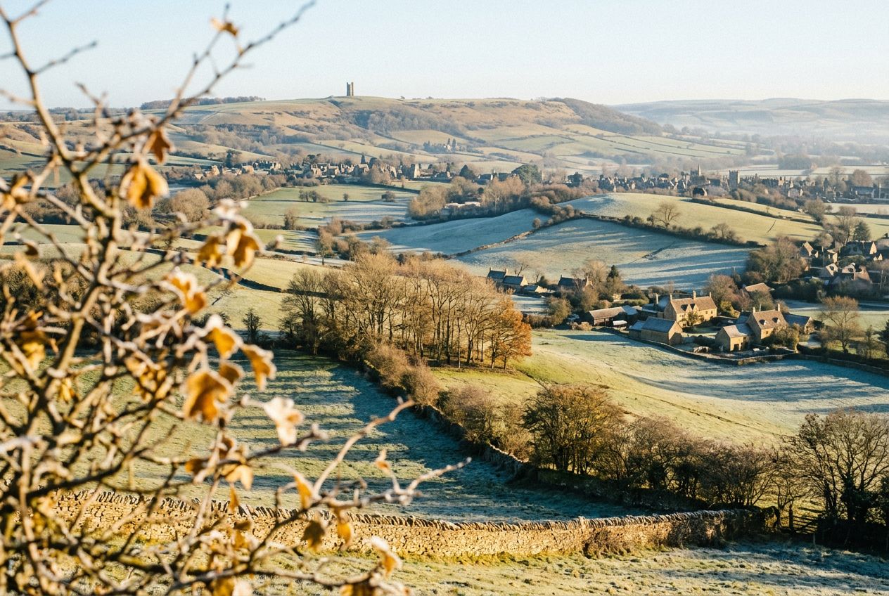
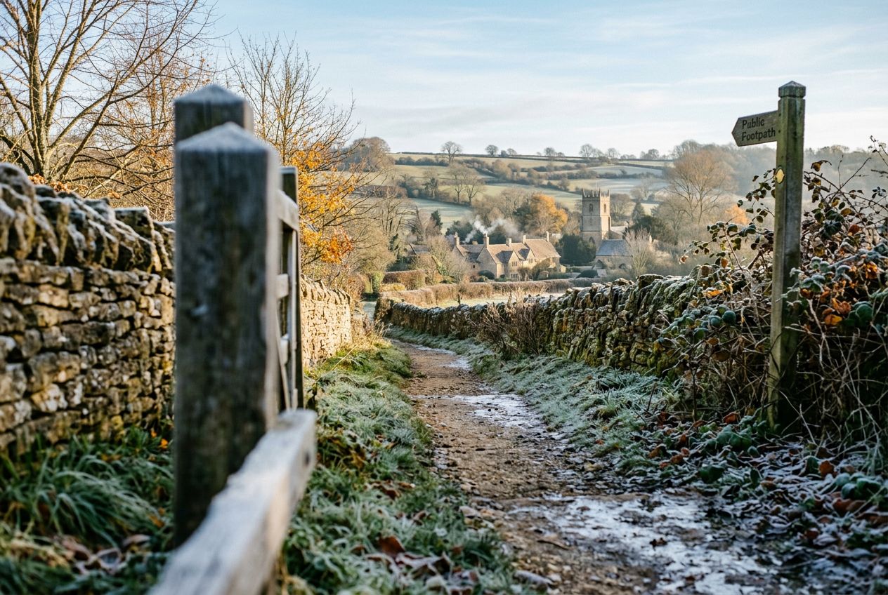
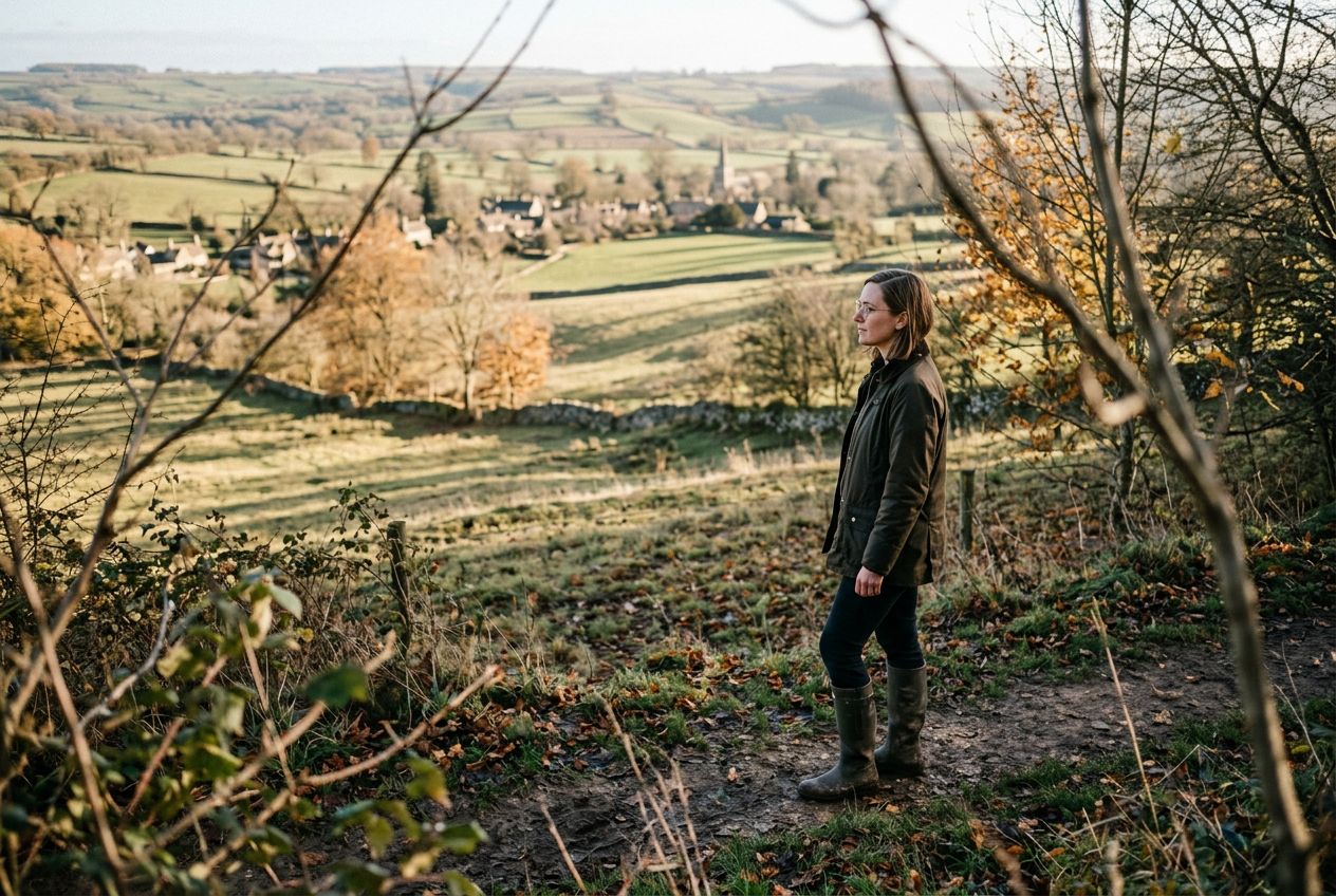
Gloucestershire betekent de Cotswolds, met stenen dorpjes in de dalen en een steilrand met uitzicht over de Severn Vale. Makkelijke rondjes verbinden Bourton-on-the-Water met de Slaughters, Bibury met de Coln Valley en Stow-on-the-Wold met Bourton Downs. Langs de rand kun je Cleeve Hill beklimmen, het hoogste punt van de Cotswolds, en ook Painswick Beacon en Leckhampton Hill, en fietsers trekken het Forest of Dean in.

Verhalen gaan terug tot de neolithische lange grafheuvel bij Belas Knap en Hetty Pegler's Tump, de wallen van Uley Bury en Crickley Hill, de wevershuisjes van Arlington Row en het Slad-dal van Laurie Lee.

Routes17
Plaatsen13
Afstand7.1 tot 18.3 km
Per fiets17

Plaatsen met meerdere routes

Elk heeft een eigen pagina, met de routes die in de buurt starten.

Alle 17 routes in Gloucestershire

Bledington · Bourton on the Water · Broadway · Chipping Campden · Coates · Dymock · Frampton on Severn · Mickleton · Northleach · Tetbury · Tewkesbury · Uley · Wotton-under-Edge
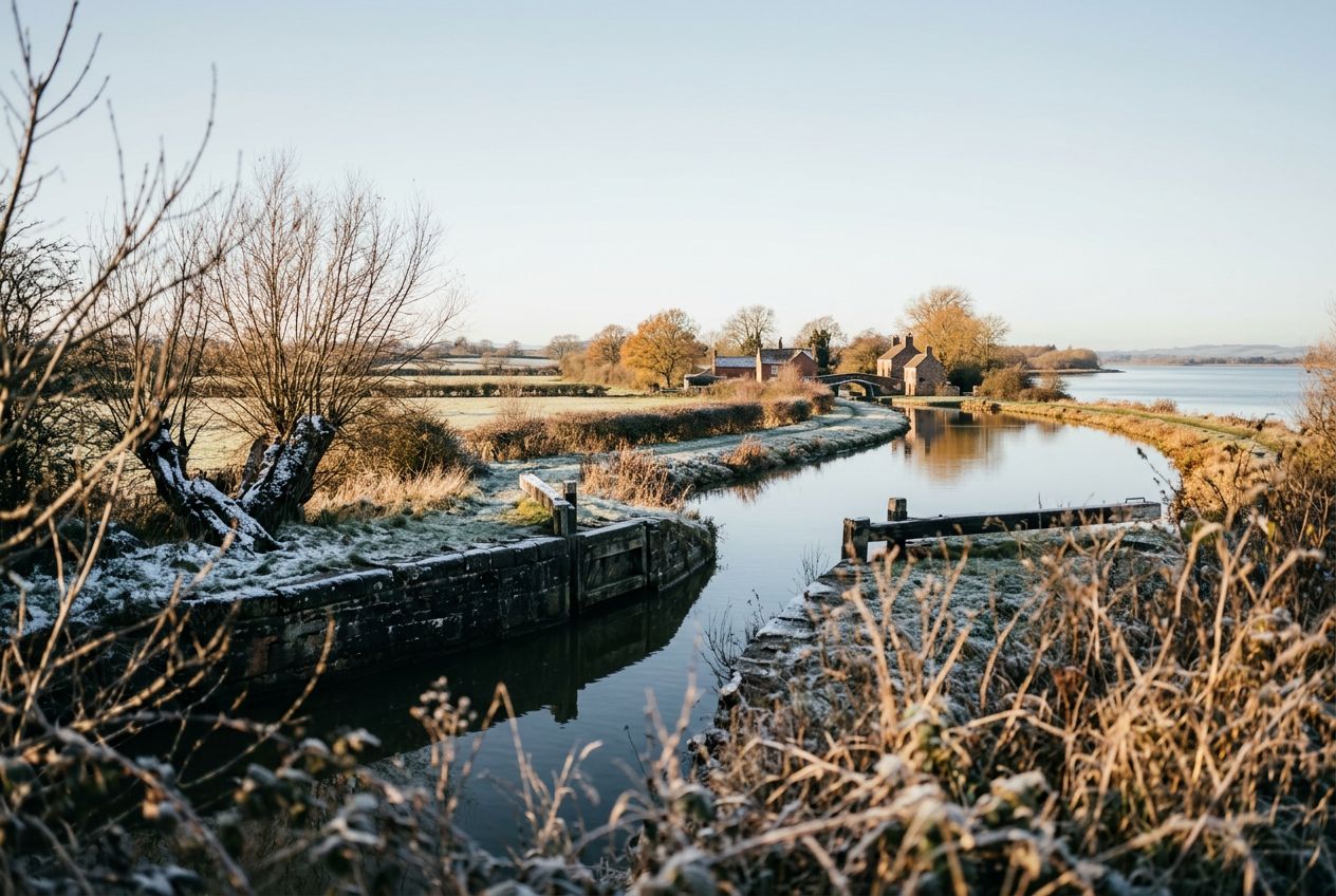
Frampton on Severn, Gloucestershire

Run the Arlington Peninsula from Saul Junction.

10 km · ≈ 41 min · ↑ 63 m
Hardlopen · Fietsen· Rondwandeling
Uley, Gloucestershire

Run the Uley Bury route from Uley.

9 km · ≈ 49 min · ↑ 253 m
Hardlopen · Fietsen· Rondwandeling
Uley, Gloucestershire

Run Lasborough and Ozleworth Bottom from Uley.

9.2 km · ≈ 44 min · ↑ 164 m
Hardlopen · Fietsen· Rondwandeling
Bourton on the Water, Gloucestershire

Run the Naunton and the Slaughters route from Bourton.

17.8 km · ≈ 1 u 18 · ↑ 181 m
Hardlopen · Fietsen· Rondwandeling
Bourton on the Water, Gloucestershire

Run the Turkdean route from Cold Aston.

10.7 km · ≈ 51 min · ↑ 177 m
Hardlopen · Fietsen· Rondwandeling
Wotton-under-Edge, Gloucestershire

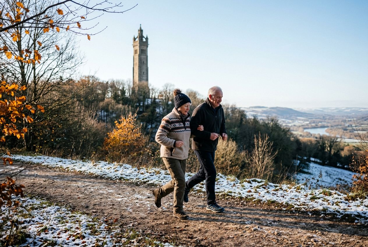
Run the Tyndale Monument from Wotton-under-Edge.

9.9 km · ≈ 53 min · ↑ 266 m
Hardlopen · Fietsen· Rondwandeling
Mickleton, Gloucestershire

Run the Hidcote and Foxcote route from Mickleton.

12.1 km · ≈ 1 u 01 · ↑ 264 m
Hardlopen · Fietsen· Rondwandeling
Tewkesbury, Gloucestershire

Run the River Severn route from Tewkesbury by the river.

12.2 km · ≈ 49 min · ↑ 62 m
Hardlopen · Fietsen· Rondwandeling
Bourton on the Water, Gloucestershire

Run the Slaughters from Naunton in Bourton on the Water.

13.8 km · ≈ 1 u 04 · ↑ 203 m
Hardlopen · Fietsen· Rondwandeling
Broadway, Gloucestershire

Walk a route through Snowshill near Broadway.

7.1 km · ≈ 1 u 52 · ↑ 178 m
Wandelen · Hardlopen · Fietsen· Rondwandeling
Coates, Gloucestershire

Cycle from Sapperton to the Thames Source near Coates.

18.3 km · ≈ 1 u 21 · ↑ 201 m
Fietsen· Rondwandeling
Chipping Campden, Gloucestershire

Run from Dover's Hill to Broadway and Chipping Campden.

15.8 km · ≈ 1 u 24 · ↑ 413 m
Hardlopen · Fietsen· Rondwandeling
Bledington, Gloucestershire

Run the Church Westcote and Icomb route from Bledington.

8.3 km · ≈ 37 min · ↑ 106 m
Hardlopen · Fietsen· Rondwandeling
Bourton on the Water, Gloucestershire

Run the Cotswold lanes of Icomb and Wyck Rissington.

8.5 km · ≈ 44 min · ↑ 201 m
Hardlopen · Fietsen· Rondwandeling
Tetbury, Gloucestershire

Run past Westonbirt Arboretum from Tetbury.

16.4 km · ≈ 1 u 09 · ↑ 121 m
Hardlopen · Fietsen· Rondwandeling
Northleach, Gloucestershire

Run Farmington to Clapton-on-the-Hill near Northleach.

10.5 km · ≈ 49 min · ↑ 162 m
Hardlopen · Fietsen· Rondwandeling
Dymock, Gloucestershire

Run the Daffodil Walk from Dymock through the countryside.

14.5 km · ≈ 1 u 02 · ↑ 124 m
Hardlopen · Fietsen· Rondwandeling

In de buurt van Gloucestershire