Hoor een route

50.000 verhalen wachten om verteld te worden. Druk op play.

Routes

Run the Cannock Chase route from Rugeley., Rugeley, Staffordshire

Fietsroutes in Staffordshire

24 fietstochten met verhalen over de plekken die je passeert.

24 routes in Staffordshire zijn goed te fietsen, van 1.9 tot 16.6 km, met start in Rugeley, Brassington, Acton Trussell, Ipstones en Brewood en meer. Onderweg kom je langs Marquis Drive, Cannock Chase war cemeteries, Wolfscote Dale en Narrowdale.

Elke tocht heeft vertelde verhalen over de plekken die je passeert, afgestemd op je snelheid en met eigen muziek. De verhalen volgen je fietstempo, dus je hoort over elke plek als je er aankomt.
Tochten24
Plaatsen15
Afstand1.9 tot 16.6 km

Fietsroutes in Staffordshire

Rugeley, Staffordshire

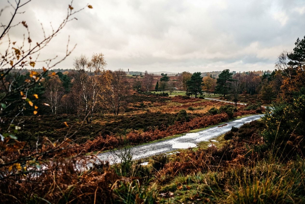
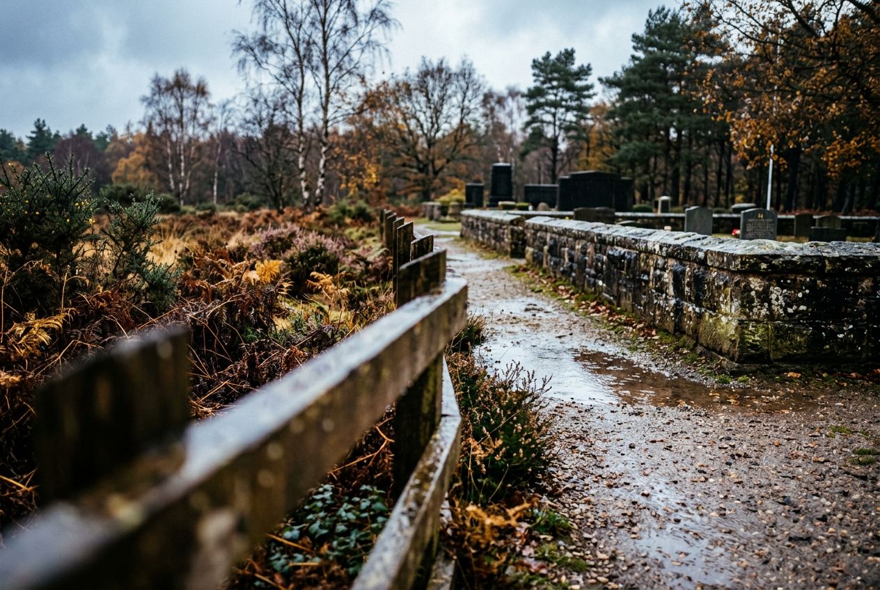
Run the Cannock Chase route from Rugeley.

16.6 km · ≈ 1 u 14 · ↑ 189 m
Hardlopen · Fietsen· Rondwandeling
Brassington, Staffordshire

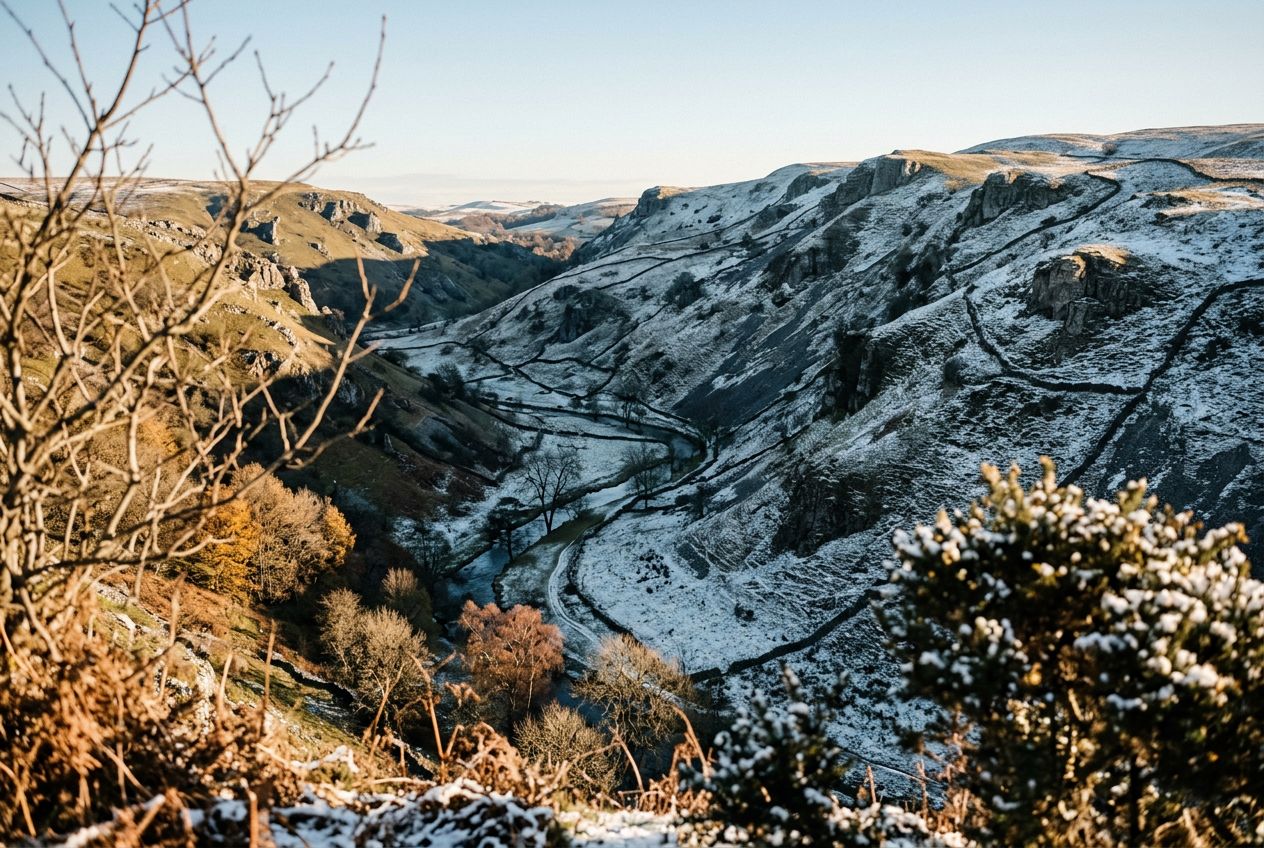
Run Wolfscote Dale from Brassington.

12.6 km · ≈ 59 min · ↑ 193 m
Hardlopen · Fietsen· Rondwandeling
Acton Trussell, Staffordshire

Run the Acton Trussell and Bednall route near Stafford.

10.6 km · ≈ 40 min · ↑ 10 m
Hardlopen · Fietsen· Enkele reis
Ipstones, Staffordshire

Run the Ecton Hill route from Wetton Mill.

11.3 km · ≈ 1 u 01 · ↑ 307 m
Hardlopen · Fietsen· Rondwandeling
Brassington, Staffordshire

Run Milldale and Wolfscote Dale from Alstonefield.

10.3 km · ≈ 49 min · ↑ 177 m
Hardlopen · Fietsen· Rondwandeling
Brewood, Staffordshire

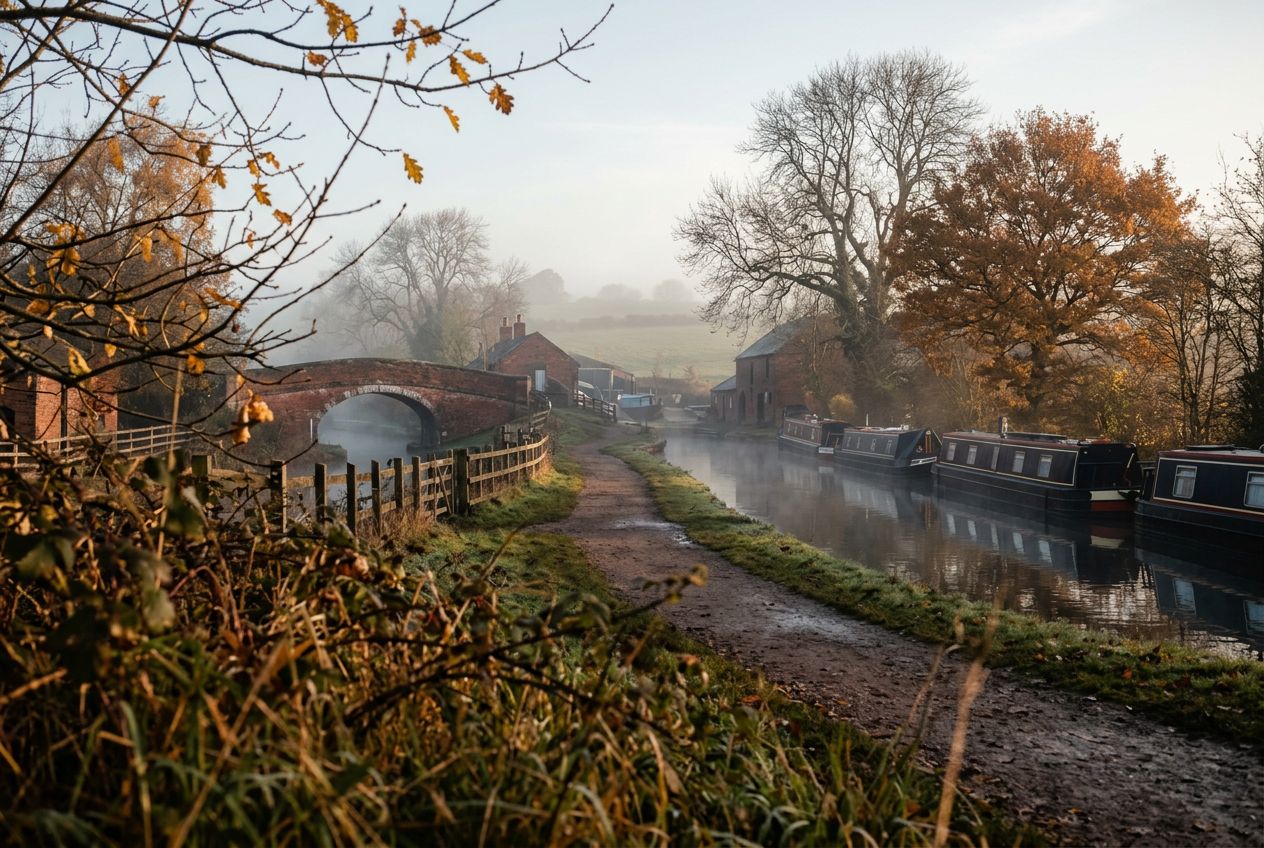
Run Chillington Hall and canal from Brewood.

9.6 km · ≈ 40 min · ↑ 62 m
Hardlopen · Fietsen· Rondwandeling
Kingsley, Staffordshire

Run the Churnet Valley from Kingsley to Cheddleton.

8 km · ≈ 34 min · ↑ 62 m
Hardlopen · Fietsen· Enkele reis
Biddulph, Staffordshire

Walk the short Cloud route from Rushton Spencer, Biddulph.

4.3 km · ≈ 28 min · ↑ 192 m
Hardlopen · Fietsen· Enkele reis
Acton Trussell, Staffordshire

Walk past the glacial boulder near Acton Trussell.

5.5 km · ≈ 1 u 20 · ↑ 63 m
Wandelen · Hardlopen · Fietsen· Rondwandeling
Colwich, Staffordshire

Walk the Haywood, Slade and Sherbrook route from Colwich.

6.3 km · ≈ 1 u 35 · ↑ 109 m
Wandelen · Hardlopen · Fietsen· Rondwandeling
Gnosall, Staffordshire

Walk the Norbury Junction route near Gnosall.

7.8 km · ≈ 1 u 49 · ↑ 45 m
Wandelen · Hardlopen · Fietsen· Rondwandeling
Great Haywood, Staffordshire

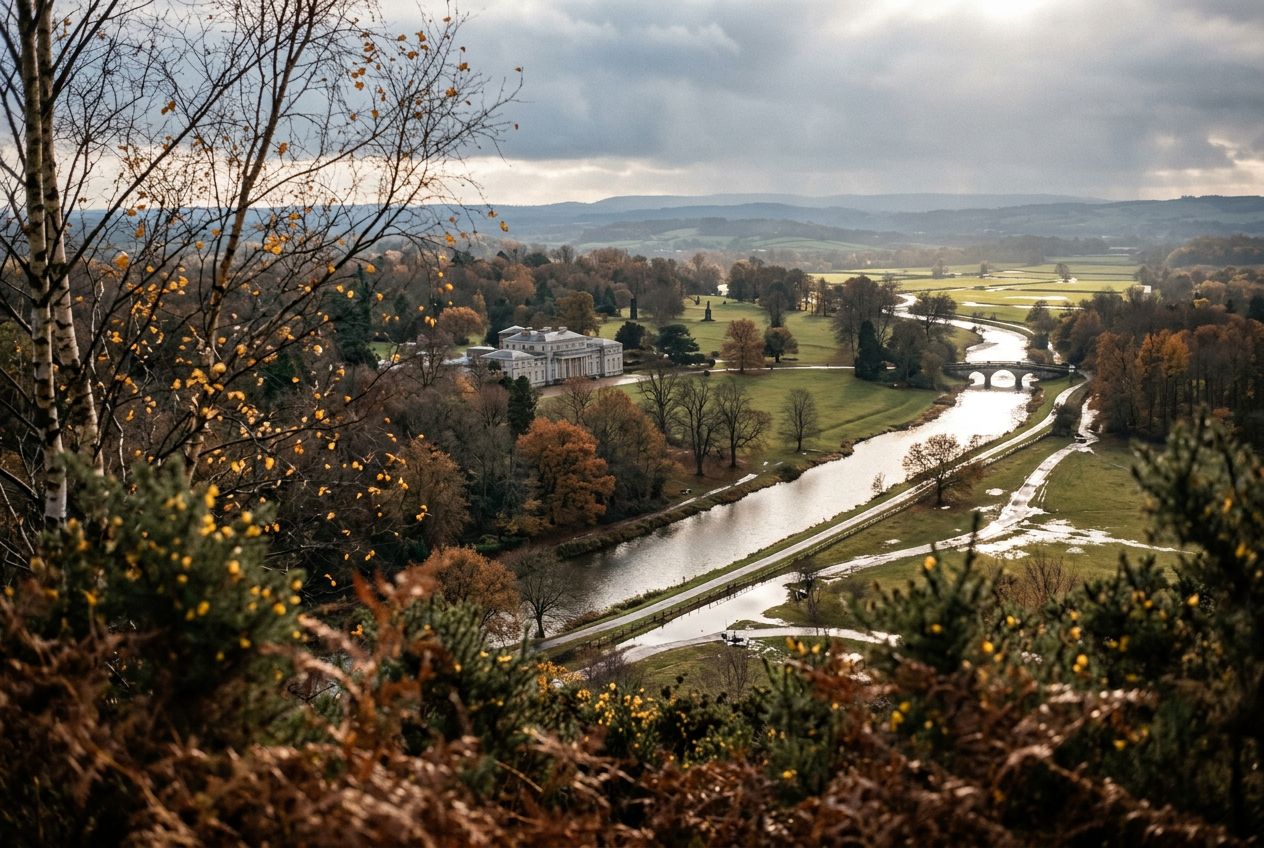
Walk through Shugborough Park from Milford.

7.3 km · ≈ 1 u 46 · ↑ 90 m
Wandelen · Hardlopen · Fietsen· Rondwandeling
Stafford, Staffordshire

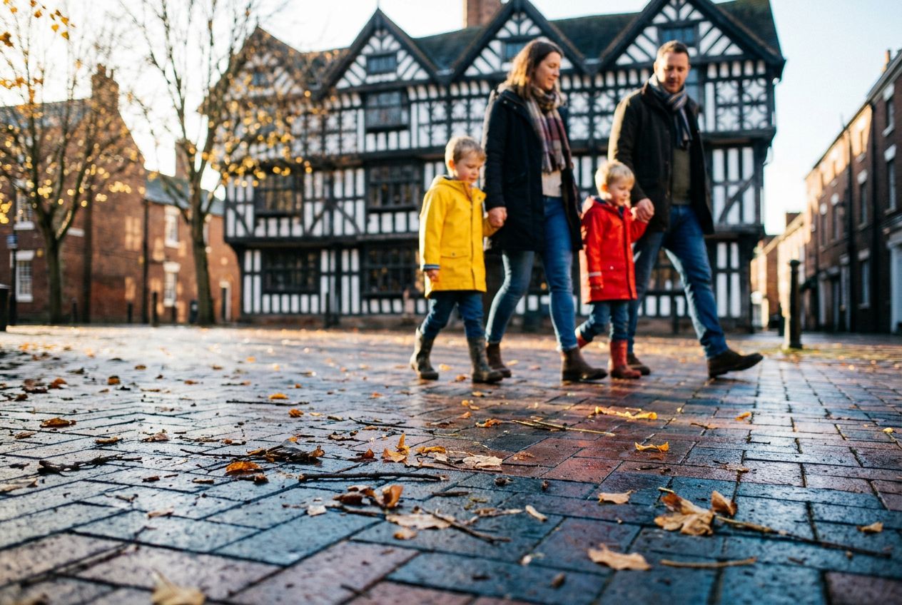
Walk a scenic stroll through Stafford town centre.

1.9 km · ≈ 26 min · ↑ 9 m
Wandelen · Hardlopen · Fietsen· Rondwandeling
Cannock, Staffordshire

Walk the Three Memorials in Cannock.

6.2 km · ≈ 1 u 30 · ↑ 73 m
Wandelen · Hardlopen · Fietsen· Rondwandeling
Ipstones, Staffordshire

Run past Grindon and Manifold Way near Ipstones.

13.1 km · ≈ 1 u 03 · ↑ 227 m
Hardlopen · Fietsen· Rondwandeling
Buxton, Staffordshire

Run Lud's Church and Clough Head from Buxton.

9.1 km · ≈ 48 min · ↑ 233 m
Hardlopen · Fietsen· Rondwandeling
Ipstones, Staffordshire

Run Manifold Valley and Ecton Hill from Ipstones.

11 km · ≈ 58 min · ↑ 278 m
Hardlopen · Fietsen· Rondwandeling
Acton Trussell, Staffordshire

Run past Stepping Stones from Acton Trussell.

9.5 km · ≈ 41 min · ↑ 89 m
Hardlopen · Fietsen· Rondwandeling
Colwich, Staffordshire

Walk the scenic Sherbrook Valley from Milford near Colwich.

6.2 km · ≈ 1 u 33 · ↑ 100 m
Wandelen · Hardlopen · Fietsen· Rondwandeling
Ipstones, Staffordshire

Walk the Wetton and Manifold Valley route from Ipstones.

5.1 km · ≈ 1 u 24 · ↑ 157 m
Wandelen · Hardlopen · Fietsen· Rondwandeling
Biddulph, Staffordshire

Run Rushton Spencer through Dane Valley near Biddulph.

15.1 km · ≈ 1 u 19 · ↑ 369 m
Hardlopen · Fietsen· Rondwandeling
Ashbourne, Staffordshire

Walk from Blore Pastures to Ilam near Ashbourne.

7.3 km · ≈ 1 u 56 · ↑ 185 m
Wandelen · Hardlopen · Fietsen· Rondwandeling
Kingsley, Staffordshire

Walk the Churnet Valley from Consall Nature Park.

4.3 km · ≈ 1 u 07 · ↑ 97 m
Wandelen · Hardlopen · Fietsen· Rondwandeling
Kingswinford, Staffordshire

Run the Highgate Common route around Kingswinford country.

10.3 km · ≈ 43 min · ↑ 67 m
Hardlopen · Fietsen· Rondwandeling