



















Route anhören

50.000 Geschichten warten darauf, erzählt zu werden. Hör in eine rein.

Routen

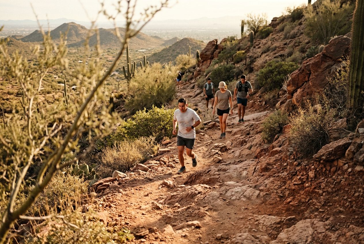
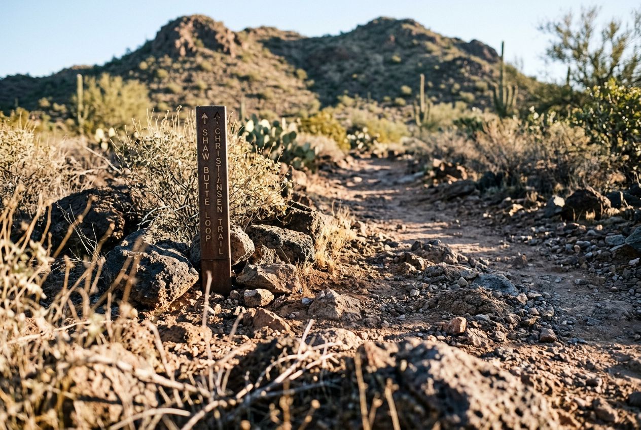
Run the Shaw Butte trail near Deer Valley., Arizona

Run the Shaw Butte trail near Deer Valley.

90 Sprachen
Tippen und Hörproben anhören
Geeignet fürLaufenRadfahren
2 Orte am Weg

Faszinierende Geschichten für unterwegs.

Tippen und Hörproben anhören

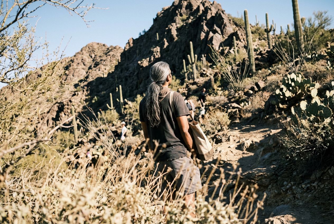
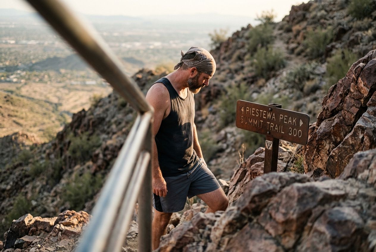
Shaw Butte rises to 2,149 feet and, with North Mountain, overlooks Glendale and northern Phoenix. It can be climbed from several sides, and the distance to the top varies depending on the trailhead you choose.

Unterwegs

1
Shaw ButteA 2,149-foot peak that overlooks Glendale and northern Phoenix, climbable from several sides.
2
North MountainThe other peak standing above Glendale and northern Phoenix alongside Shaw Butte.

Die Route

Strecke8.1 km
Laufen≈ 1 Std. 02
Radfahren≈ 47 Min.
Anstieg↑ 275 m
VerlaufRundweg

Eine 8.1 km lange Rundroute ab Deer Valley zum Laufen oder Radfahren, mit 275 m Anstieg.

Höhenprofil↑ 275 m insgesamt

Bevor du losgehst

StartVisitor Center Access, Deer Valley, Arizona, 85022Start in Maps öffnen →
ZielZurück am Start
Geschichten auf
Kostenlos mit 5 Leuten teilen