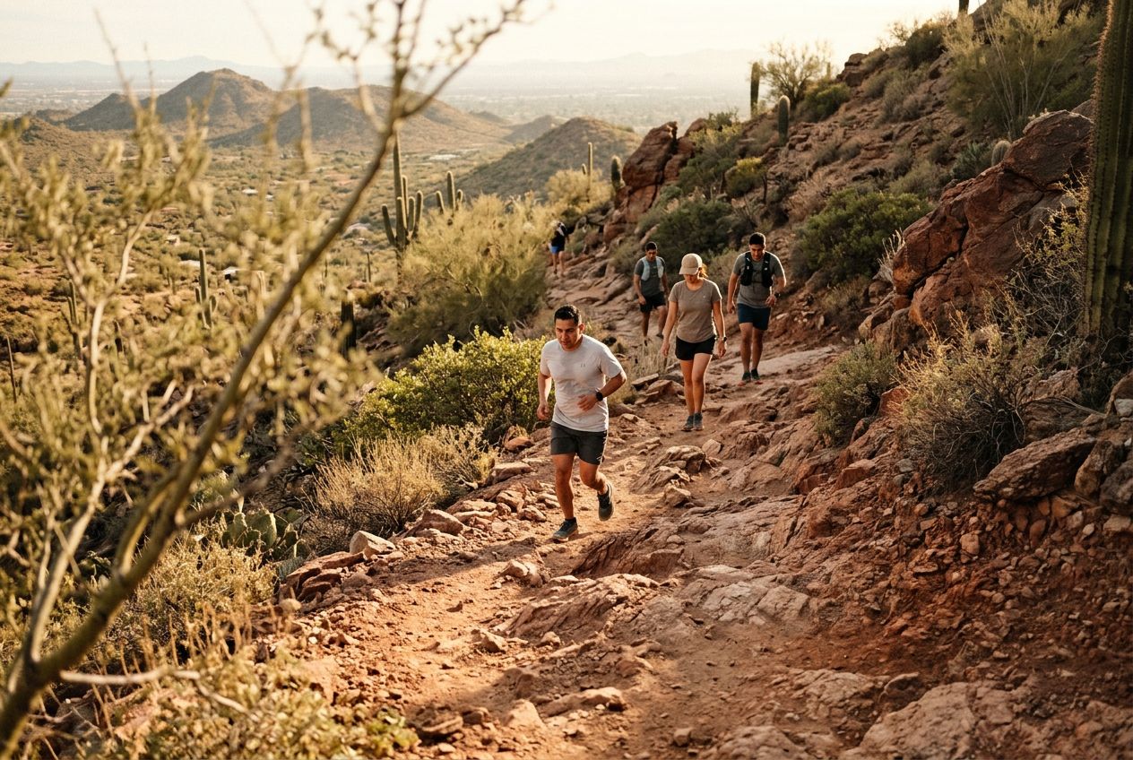
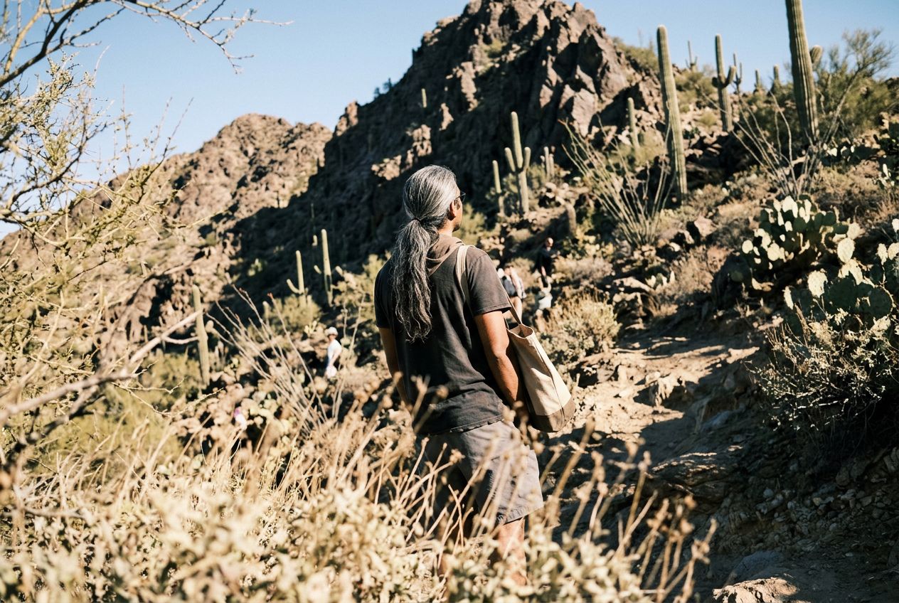
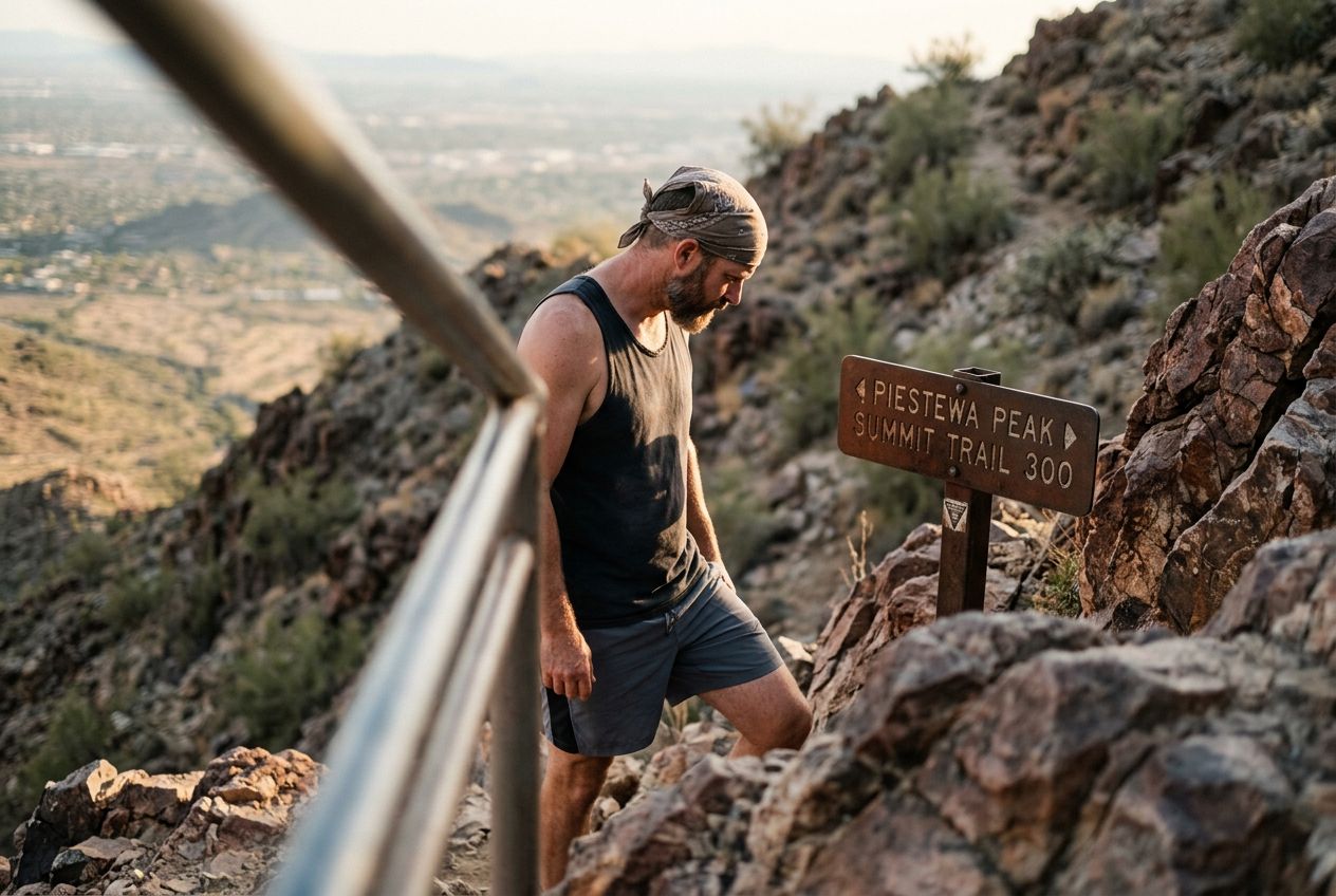
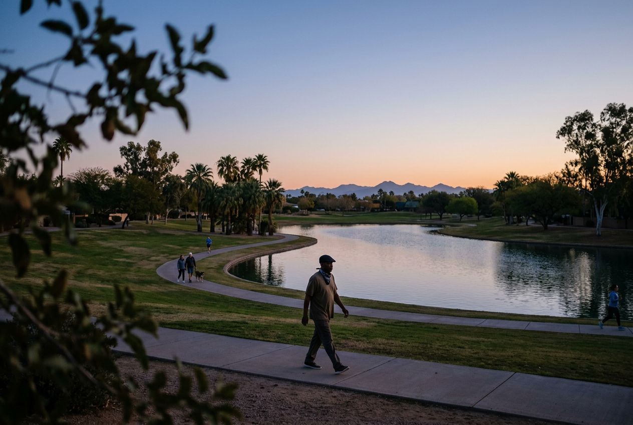
Shaw ButteA 2,149-foot peak that overlooks Glendale and northern Phoenix, climbable from several sides.
코스 들어보기
50,000개의 이야기가 기다리고 있어요. 하나 재생해 보세요.
코스
지도에서 보기
핀 하나하나가 코스이고, 코스마다 이야기가 가득해요.
 Route Stories
50,000개의 이야기가 기다리고 있어요. 하나 재생해 보세요.
핀 하나하나가 코스이고, 코스마다 이야기가 가득해요.




 90개 언어




















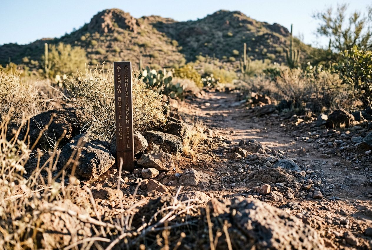
Shaw Butte rises to 2,149 feet and, with North Mountain, overlooks Glendale and northern Phoenix. It can be climbed from several sides, and the distance to the top varies depending on the trailhead you choose.
Deer Valley에서 출발하는 8.1 km 순환 달리거나 자전거를 타기에 코스, 오르막 275 m.