50 000 histoires n'attendent que toi. Lance-en une.
Parcours
Sur la carte
Chaque repère est un parcours, et chaque parcours est plein d'histoires.
Riverside & Historic Trails: A Pedal Through Beauty
90 langues
Touchez pour écouter des extraits
Convient pourCourse à piedVélo
Au bord de l'eauEn villePlat et facile5 lieux en chemin
Des histoires étonnantes en explorant.
Touchez pour écouter des extraits
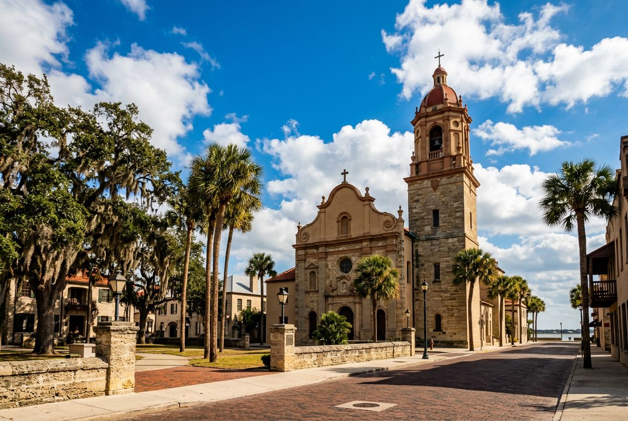
Here is a bike ride through St. Augustine that follows waterside paths and calm historic streets. Expect views of the water, pleasant parkland, and reminders of the city's long history, all at an easygoing pace.
En chemin
1
Castillo de San Marcos National MonumentThis historic fort offers a magnificent starting point, overlooking Matanzas Bay and providing a panoramic view of the city's waterfront.
2
St. Augustine Municipal Marina & Bridge of LionsEnjoy the bustling marina with its array of boats and the architectural beauty of the Bridge of Lions.
3
Davis Shores Waterfront ViewsPedal through the charming, quiet residential streets of Davis Shores, offering serene waterfront vistas back towards the historic downtown.
4
St. Augustine Lighthouse & Maritime MuseumA beacon of history, the lighthouse stands tall as an iconic landmark.
5
Francis FieldThis expansive urban park offers a green oasis in the heart of the city, providing open space and a peaceful contrast to the historic streets.
L'itinéraire
Distance10.2 km
Course à pied≈ 1 h 01
Vélo≈ 38 min
Montée↑ 3 m
ParcoursBoucle
Un itinéraire circulaire de 10.2 km au départ de St. Augustine pour courir ou faire du vélo, avec 3 m de dénivelé positif.
Dénivelé↑ 3 m au total
Avant de partir
DépartCastillo de San Marcos National Monument, 1 S Castillo Dr, St. Augustine, FL 32084Ouvrir le départ dans Plans →
 Route