50 000 histoires n'attendent que toi. Lance-en une.
Parcours
Sur la carte
Chaque repère est un parcours, et chaque parcours est plein d'histoires.
Historic Waterfront Dash
90 langues
Touchez pour écouter des extraits
Convient pourMarcheCourse à piedVélo
Plat et facile6 lieux en chemin
Des histoires étonnantes en explorant.
Touchez pour écouter des extraits
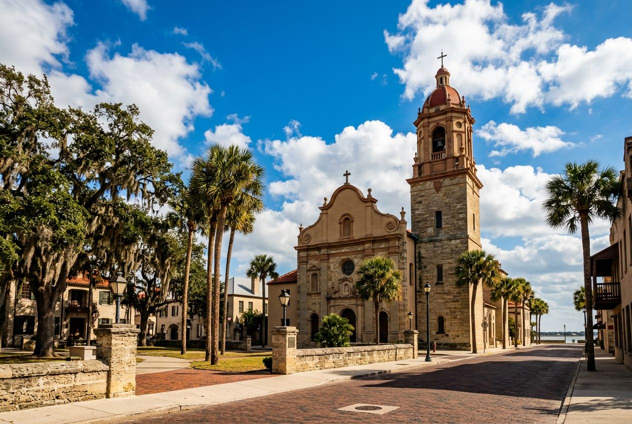
This is a lively run along St. Augustine's waterfront, passing historic landmarks and wide bay views. Wide pedestrian paths and few road crossings make it an easy, enjoyable route through the city's coastal area.
En chemin
1
Castillo de San Marcos National MonumentBegin your scenic run at this iconic 17th-century fort, a symbol of St.
2
Bayfront Pathway (Southbound)Enjoy unobstructed views of Matanzas Bay as you run along this wide, pedestrian-friendly pathway, feeling the refreshing coastal breeze.
3
Bridge of LionsCross this majestic drawbridge, admiring the guardian lion statues and panoramic vistas of the historic downtown and the bay from its pedestrian walkways.
4
St. Augustine Municipal MarinaAfter crossing the bridge, pass by the vibrant marina, bustling with boats and offering picturesque views of the waterfront and the city skyline.
5
Plaza de la ConstituciónWeave through the heart of the historic district, circling this charming central plaza, a green oasis surrounded by historic buildings and ancient oaks.
6
St. George Street Entrance (North end)Briefly glimpse the lively pedestrian-only St.
L'itinéraire
Distance2.7 km
Marche≈ 36 min
Course à pied≈ 16 min
Montée↑ 0 m
ParcoursBoucle
Un itinéraire circulaire de 2.7 km au départ de St. Augustine pour marcher, courir ou faire du vélo, avec 0 m de dénivelé positif.
Dénivelé↑ 0 m au total
Avant de partir
DépartCastillo de San Marcos National Monument, 1 S Castillo Dr, St. Augustine, FL 32084Ouvrir le départ dans Plans →
 Route