ルートを聴く

5万の物語が待っています。ひとつ再生してみましょう。

ルート

Historic Waterfront Dash, St. Augustine, Florida

Historic Waterfront Dash

90の言語
タップしてプレビューを聴く
向いている人ウォーキングランニングサイクリング
平坦でらくらく道中の見どころ6か所

探検しながら、驚きのストーリーを。

タップしてプレビューを聴く

This is a lively run along St. Augustine's waterfront, passing historic landmarks and wide bay views. Wide pedestrian paths and few road crossings make it an easy, enjoyable route through the city's coastal area.

道中の見どころ

1
Castillo de San Marcos National MonumentBegin your scenic run at this iconic 17th-century fort, a symbol of St.
2
Bayfront Pathway (Southbound)Enjoy unobstructed views of Matanzas Bay as you run along this wide, pedestrian-friendly pathway, feeling the refreshing coastal breeze.
3
Bridge of LionsCross this majestic drawbridge, admiring the guardian lion statues and panoramic vistas of the historic downtown and the bay from its pedestrian walkways.
4
St. Augustine Municipal MarinaAfter crossing the bridge, pass by the vibrant marina, bustling with boats and offering picturesque views of the waterfront and the city skyline.
5
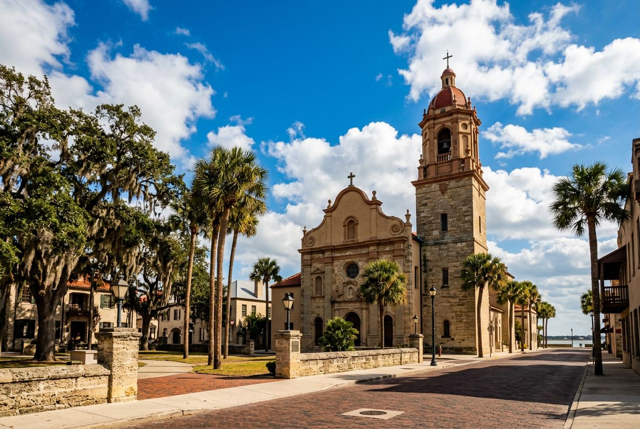
Plaza de la ConstituciónWeave through the heart of the historic district, circling this charming central plaza, a green oasis surrounded by historic buildings and ancient oaks.
6
St. George Street Entrance (North end)Briefly glimpse the lively pedestrian-only St.

ルート

距離2.7 km
ウォーキング≈ 36分
ランニング≈ 16分
登り↑ 0 m
ルート周回

St. Augustineから歩き、走り、自転車で、周回ルートです。全長2.7 km、登り0 m。

高低差合計 ↑ 0 m

出かける前に

スタートCastillo de San Marcos National Monument, 1 S Castillo Dr, St. Augustine, FL 32084スタート地点を地図で開く →
ゴールスタート地点に戻ります
ストーリーの言語
5人まで無料でシェアできます