50.000 histórias esperando para ser contadas. Dê play em uma.
Rotas
No mapa
Cada marcador é uma rota, e cada rota é cheia de histórias.
Historic Waterfront Dash
90 idiomas
Toque para ouvir prévias
Indicada paraCaminhadaCorridaCiclismo
Plana e fácil6 lugares pelo caminho
Histórias incríveis enquanto explora.
Toque para ouvir prévias
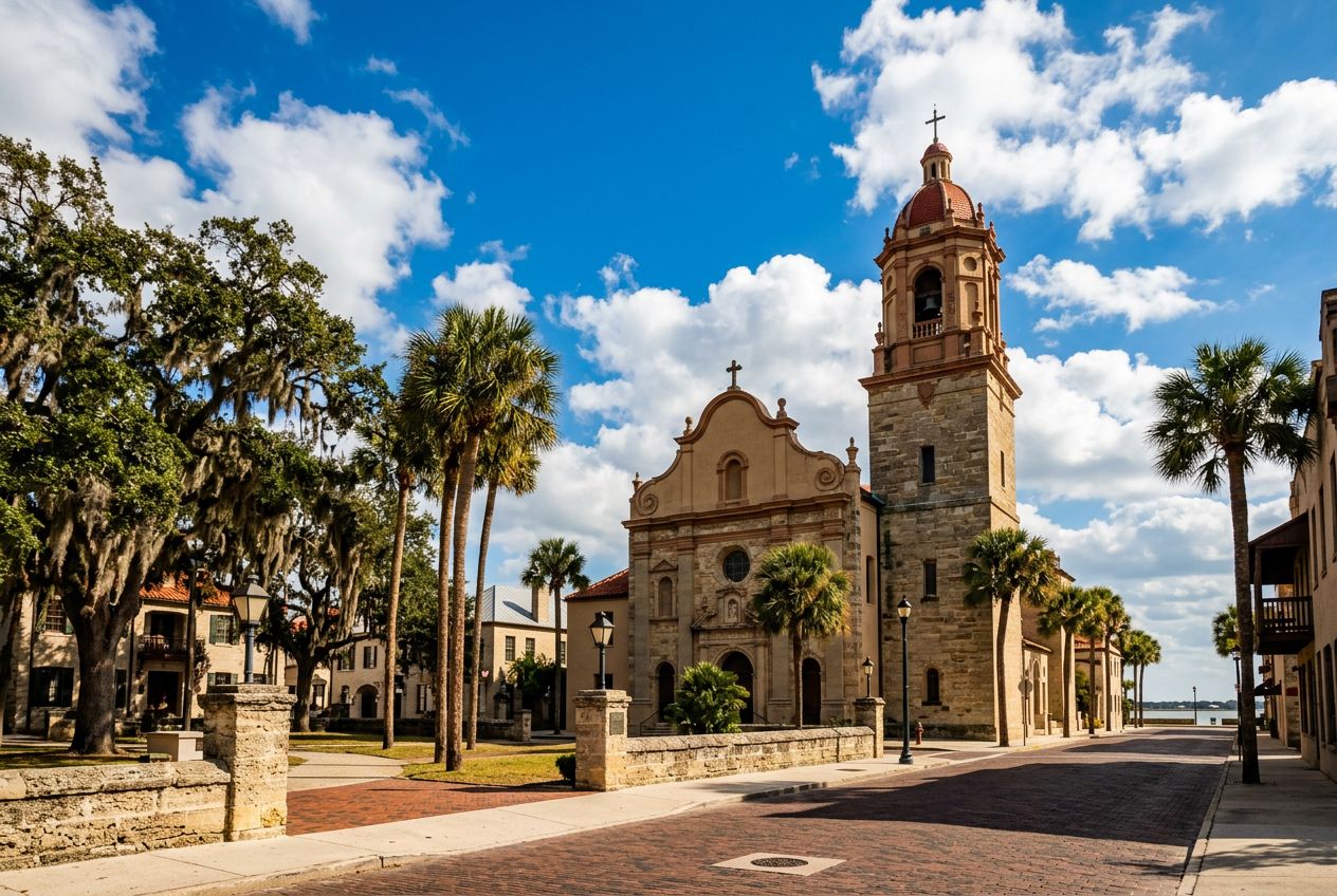
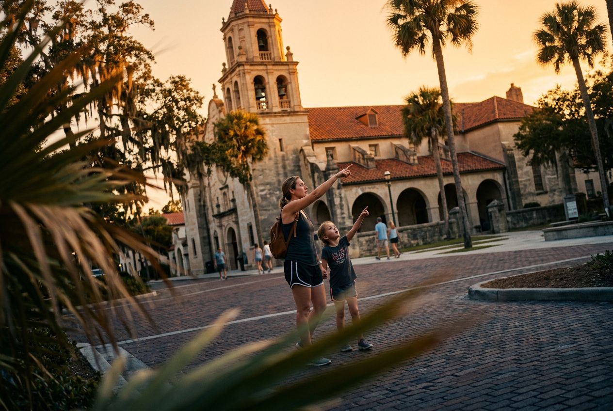
This is a lively run along St. Augustine's waterfront, passing historic landmarks and wide bay views. Wide pedestrian paths and few road crossings make it an easy, enjoyable route through the city's coastal area.
Pelo caminho
1
Castillo de San Marcos National MonumentBegin your scenic run at this iconic 17th-century fort, a symbol of St.
2
Bayfront Pathway (Southbound)Enjoy unobstructed views of Matanzas Bay as you run along this wide, pedestrian-friendly pathway, feeling the refreshing coastal breeze.
3
Bridge of LionsCross this majestic drawbridge, admiring the guardian lion statues and panoramic vistas of the historic downtown and the bay from its pedestrian walkways.
4
St. Augustine Municipal MarinaAfter crossing the bridge, pass by the vibrant marina, bustling with boats and offering picturesque views of the waterfront and the city skyline.
5
Plaza de la ConstituciónWeave through the heart of the historic district, circling this charming central plaza, a green oasis surrounded by historic buildings and ancient oaks.
6
St. George Street Entrance (North end)Briefly glimpse the lively pedestrian-only St.
A rota
Distância2.7 km
Caminhada≈ 36 min
Corrida≈ 16 min
Subida↑ 0 m
RotaCircular
Uma rota circular de 2.7 km saindo de St. Augustine para caminhar, correr ou pedalar, com 0 m de subida.
Altimetria↑ 0 m no total
Antes de ir
PartidaCastillo de San Marcos National Monument, 1 S Castillo Dr, St. Augustine, FL 32084Abrir a partida no Maps →
 Route