50.000 Geschichten warten darauf, erzählt zu werden. Hör in eine rein.
Routen
Auf der Karte
Jeder Pin ist eine Route, und jede Route steckt voller Geschichten.
Historic Waterfront Dash
90 Sprachen
Tippen und Hörproben anhören
Geeignet fürWandernLaufenRadfahren
Flach und leicht6 Orte am Weg
Faszinierende Geschichten für unterwegs.
Tippen und Hörproben anhören
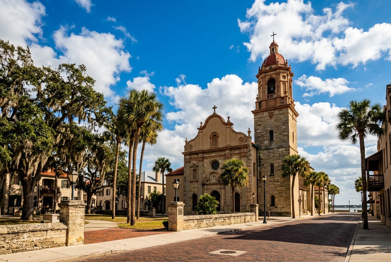
This is a lively run along St. Augustine's waterfront, passing historic landmarks and wide bay views. Wide pedestrian paths and few road crossings make it an easy, enjoyable route through the city's coastal area.
Unterwegs
1
Castillo de San Marcos National MonumentBegin your scenic run at this iconic 17th-century fort, a symbol of St.
2
Bayfront Pathway (Southbound)Enjoy unobstructed views of Matanzas Bay as you run along this wide, pedestrian-friendly pathway, feeling the refreshing coastal breeze.
3
Bridge of LionsCross this majestic drawbridge, admiring the guardian lion statues and panoramic vistas of the historic downtown and the bay from its pedestrian walkways.
4
St. Augustine Municipal MarinaAfter crossing the bridge, pass by the vibrant marina, bustling with boats and offering picturesque views of the waterfront and the city skyline.
5
Plaza de la ConstituciónWeave through the heart of the historic district, circling this charming central plaza, a green oasis surrounded by historic buildings and ancient oaks.
6
St. George Street Entrance (North end)Briefly glimpse the lively pedestrian-only St.
Die Route
Strecke2.7 km
Wandern≈ 36 Min.
Laufen≈ 16 Min.
Anstieg↑ 0 m
VerlaufRundweg
Eine 2.7 km lange Rundroute ab St. Augustine zum Wandern, Laufen oder Radfahren, mit 0 m Anstieg.
Höhenprofil↑ 0 m insgesamt
Bevor du losgehst
StartCastillo de San Marcos National Monument, 1 S Castillo Dr, St. Augustine, FL 32084Start in Maps öffnen →
 Route