Écouter un parcours

50 000 histoires n'attendent que toi. Lance-en une.

Parcours

Run the Windy Gyle route in Rochester., Northumberland

Run the Windy Gyle route in Rochester.

90 langues
Touchez pour écouter des extraits
Convient pourCourse à piedVélo
2 lieux en chemin

Des histoires étonnantes en explorant.

Touchez pour écouter des extraits

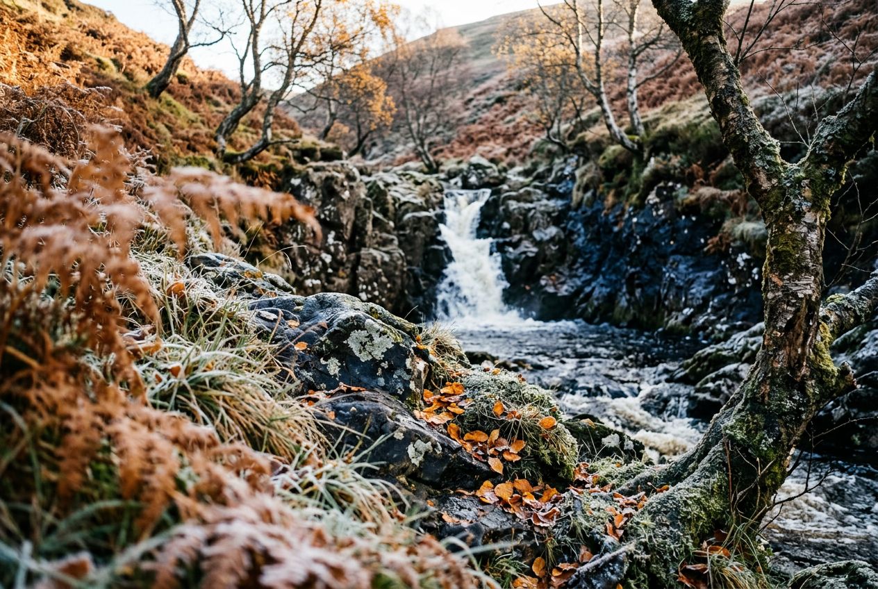
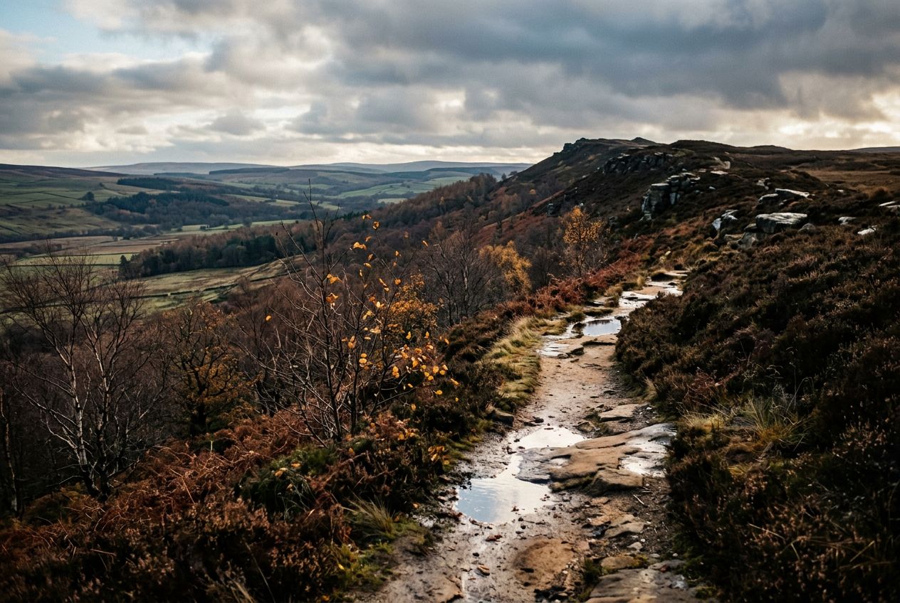
Welcome to a walk up to the summit of Windy Gyle in a remote landscape, starting in the Coquet Valley and following part of the Pennine Way.

En chemin

1
Windy GyleSummit reached by this walk, set in a deserted landscape on the Pennine Way.
2
Coquet ValleyThe starting point of the walk, from which the route climbs towards the hills.

L'itinéraire

Distance11.8 km
Course à pied≈ 1 h 29
Vélo≈ 1 h 06
Montée↑ 370 m
ParcoursBoucle

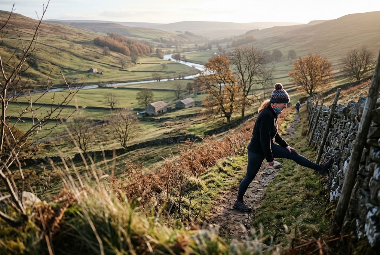
Un itinéraire circulaire de 11.8 km au départ de Rochester pour courir ou faire du vélo, avec 370 m de dénivelé positif.

Dénivelé↑ 370 m au total

Avant de partir

DépartCoquet Valley, Rochester, NE65 7BPOuvrir le départ dans Plans →
ArrivéeRetour au point de départ
ParkingThis walk takes to the high ground and starts roughly half a mile west of Windylaugh where ample parking is available on the grass verge near the confluence of Trows Burn with the River Coquet.
Histoires racontées en
Partage-le gratuitement avec 5 personnes