ルートを聴く

5万の物語が待っています。ひとつ再生してみましょう。

ルート

Run the Windy Gyle route in Rochester., Northumberland

Run the Windy Gyle route in Rochester.

90の言語
タップしてプレビューを聴く
向いている人ランニングサイクリング
道中の見どころ2か所

探検しながら、驚きのストーリーを。

タップしてプレビューを聴く

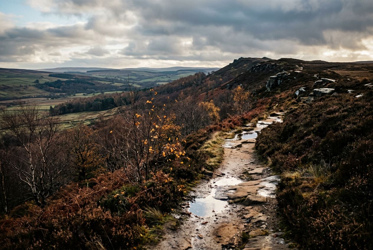
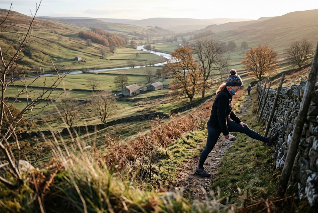
Welcome to a walk up to the summit of Windy Gyle in a remote landscape, starting in the Coquet Valley and following part of the Pennine Way.

道中の見どころ

1
Windy GyleSummit reached by this walk, set in a deserted landscape on the Pennine Way.
2
Coquet ValleyThe starting point of the walk, from which the route climbs towards the hills.

ルート

距離11.8 km
ランニング≈ 1時間29分
サイクリング≈ 1時間06分
登り↑ 370 m
ルート周回

Rochesterから走るか自転車で、周回ルートです。全長11.8 km、登り370 m。
高低差合計 ↑ 370 m

出かける前に

スタートCoquet Valley, Rochester, NE65 7BPスタート地点を地図で開く →
ゴールスタート地点に戻ります
駐車場This walk takes to the high ground and starts roughly half a mile west of Windylaugh where ample parking is available on the grass verge near the confluence of Trows Burn with the River Coquet.
ストーリーの言語
5人まで無料でシェアできます