Ouça uma rota

50.000 histórias esperando para ser contadas. Dê play em uma.

Rotas

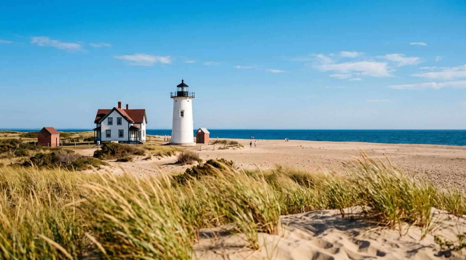
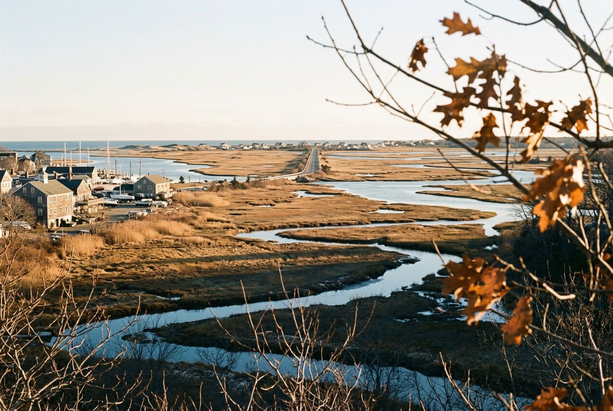
Farol de Race Point por trás da grama de praia e das dunas de areia perto de Provincetown, no Cape Cod, Massachusetts

Caminhadas e trilhas em Massachusetts

35 rotas com histórias dos lugares por onde você passa, narradas e com música original. Caminhe, corra ou pedale.

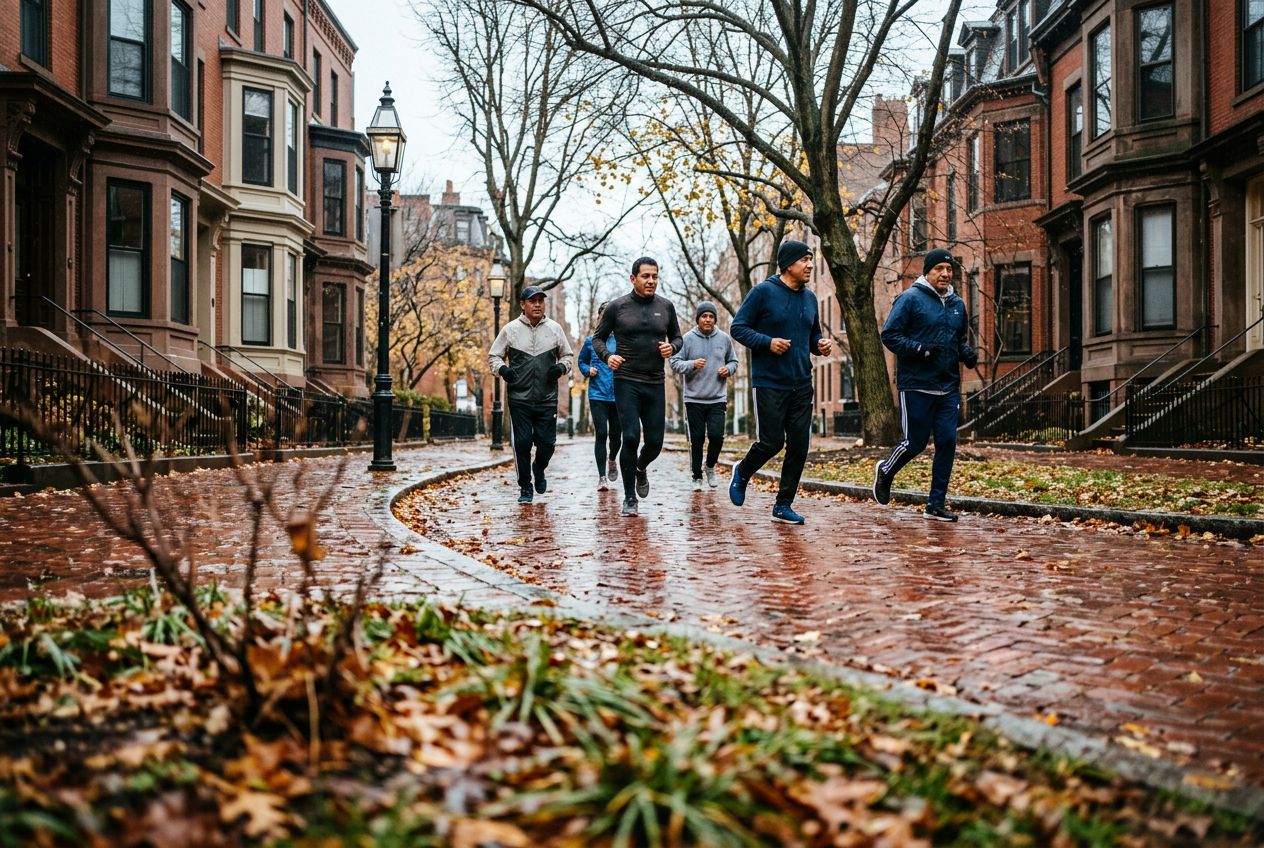
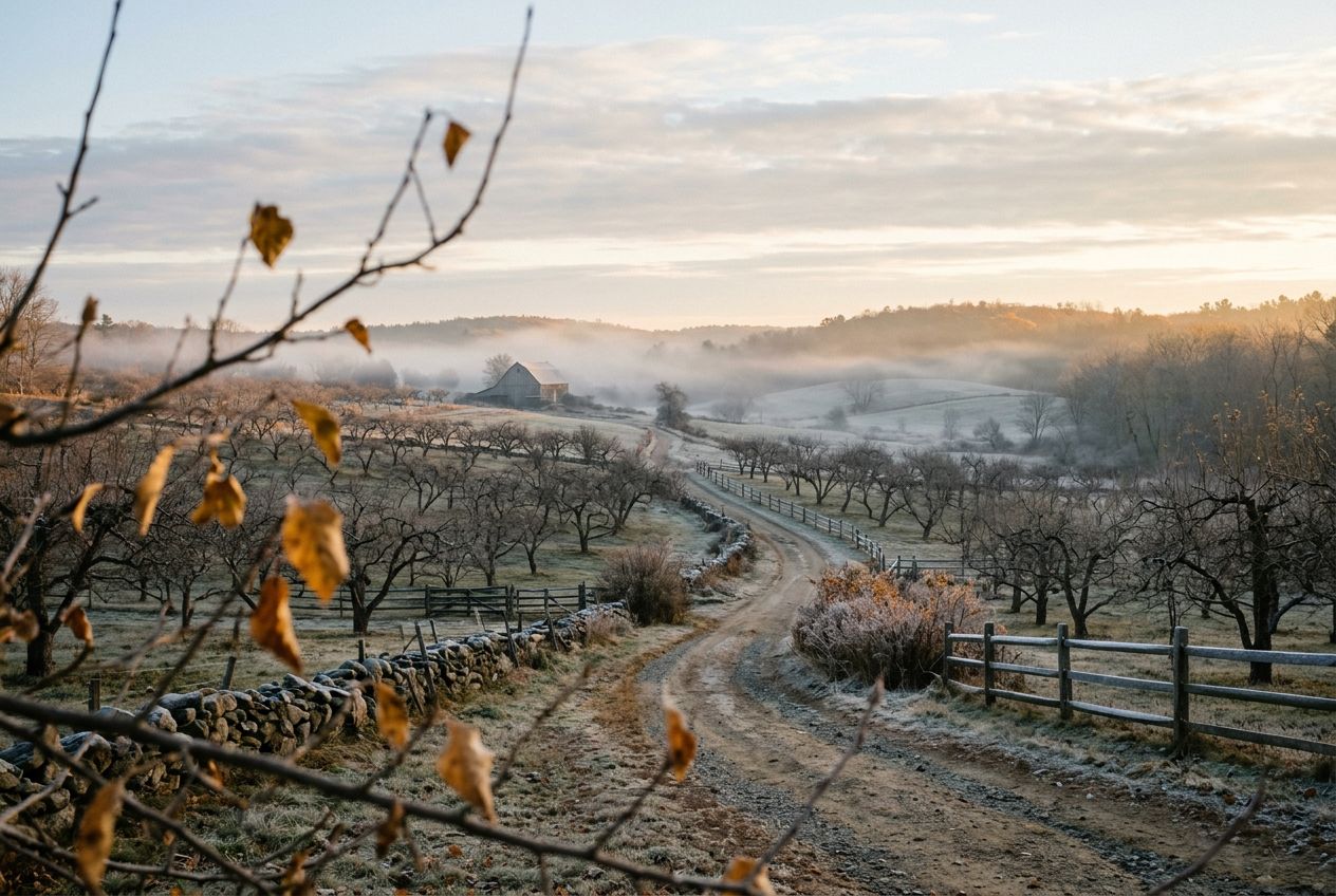
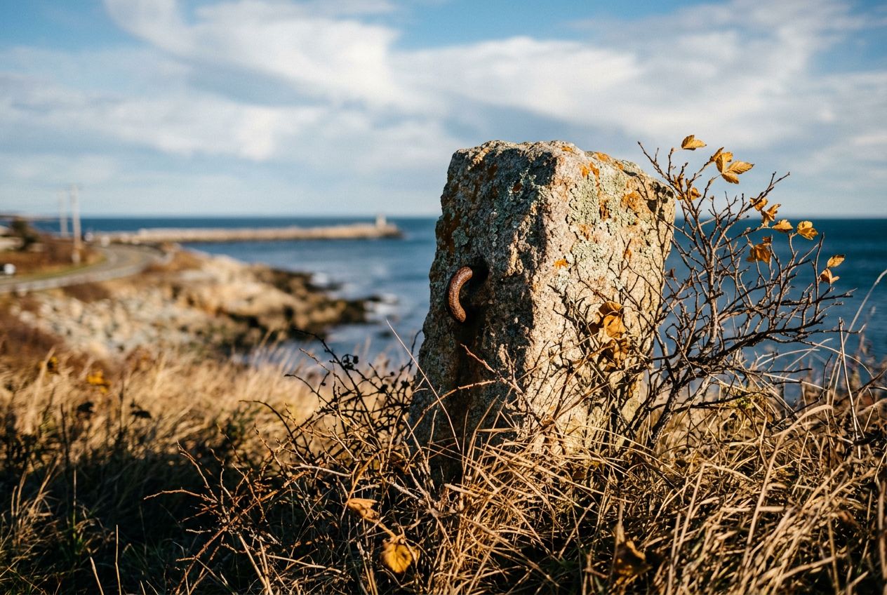
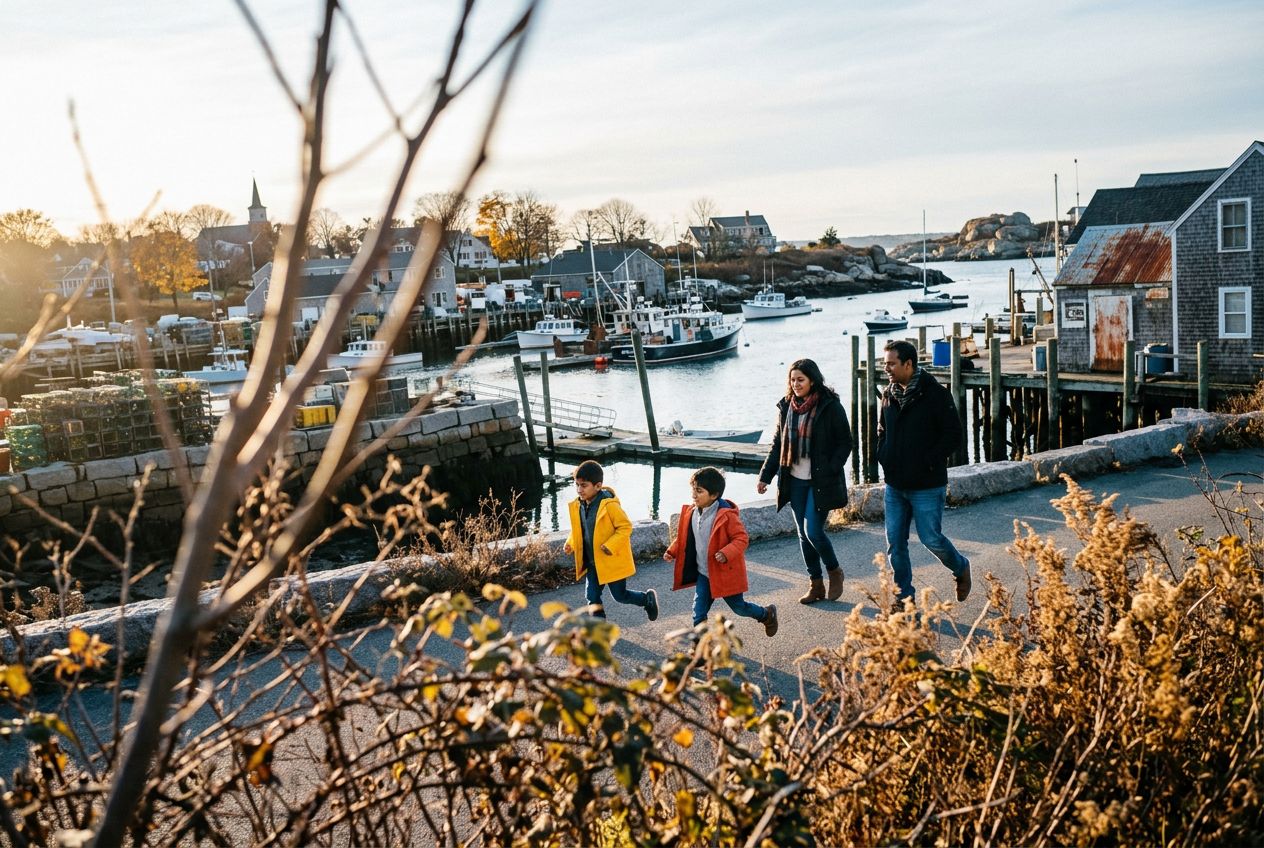
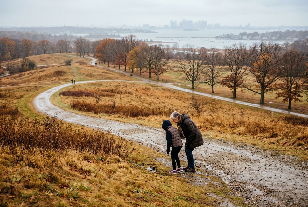
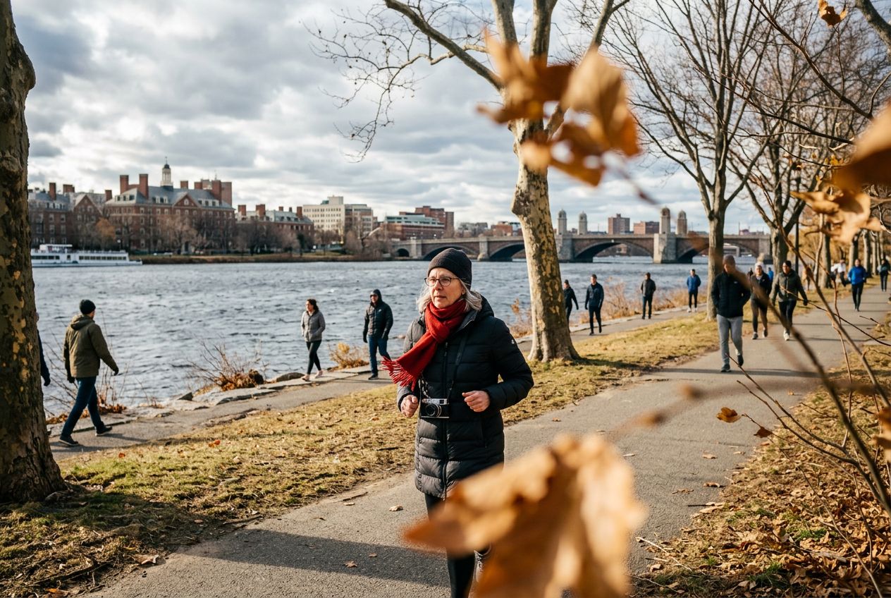
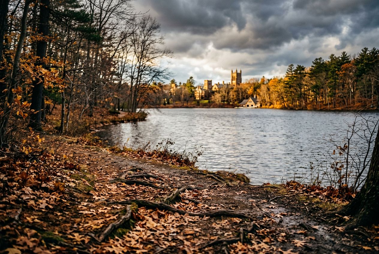
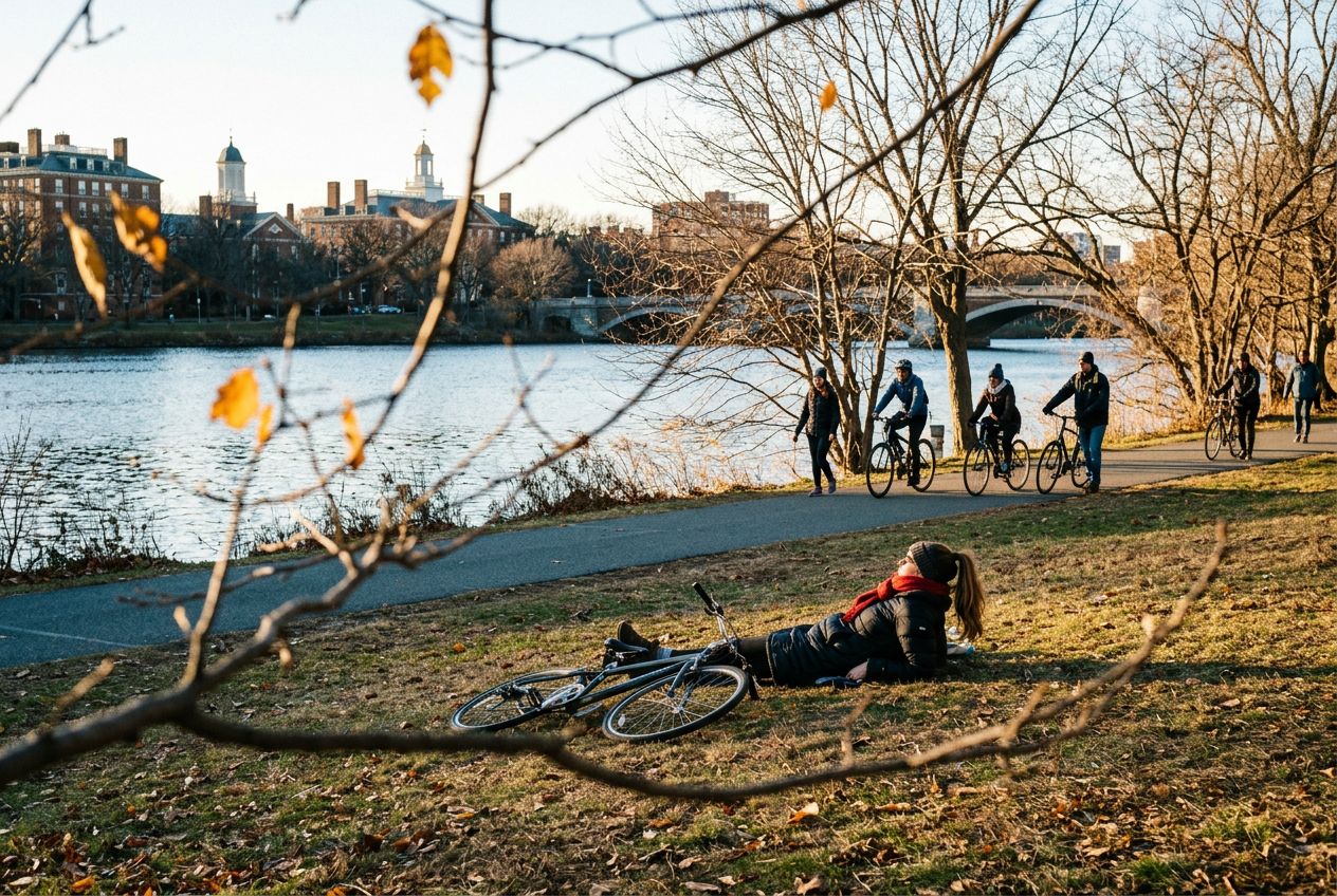
Imagem ilustrativa

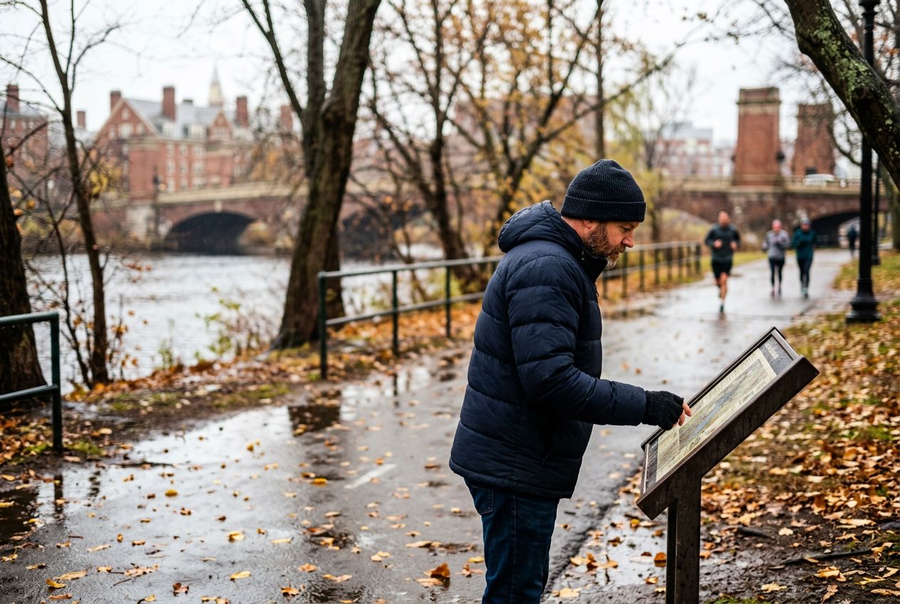
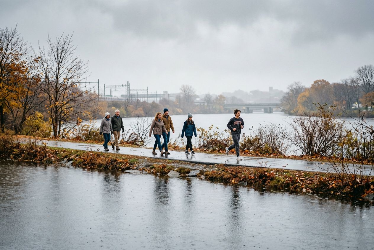
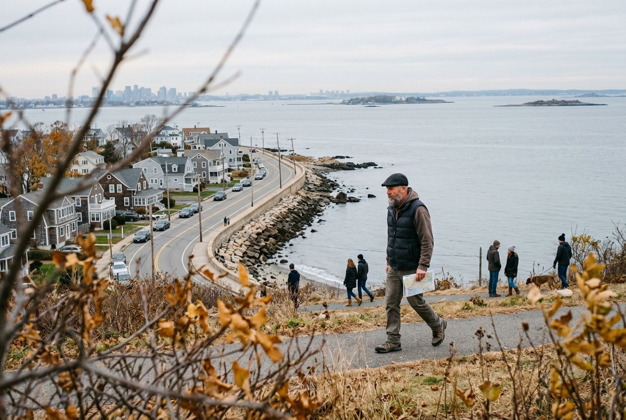
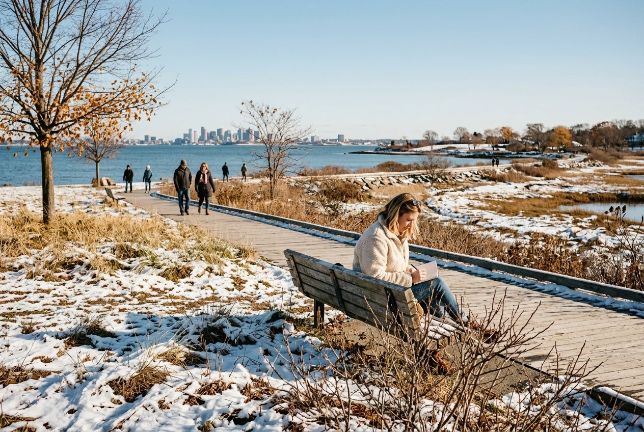
Massachusetts cabe muita coisa em um estado pequeno. Boston oferece o Freedom Trail, o Emerald Necklace e o Charles River Esplanade, e a Minuteman Bikeway vai até Bedford. No Cape Cod há a Great Island Trail e a Race Point Beach, a North Shore tem Halibut Point e o circuito de Cape Ann, e no oeste você pode subir o Monte Greylock pela Appalachian Trail.

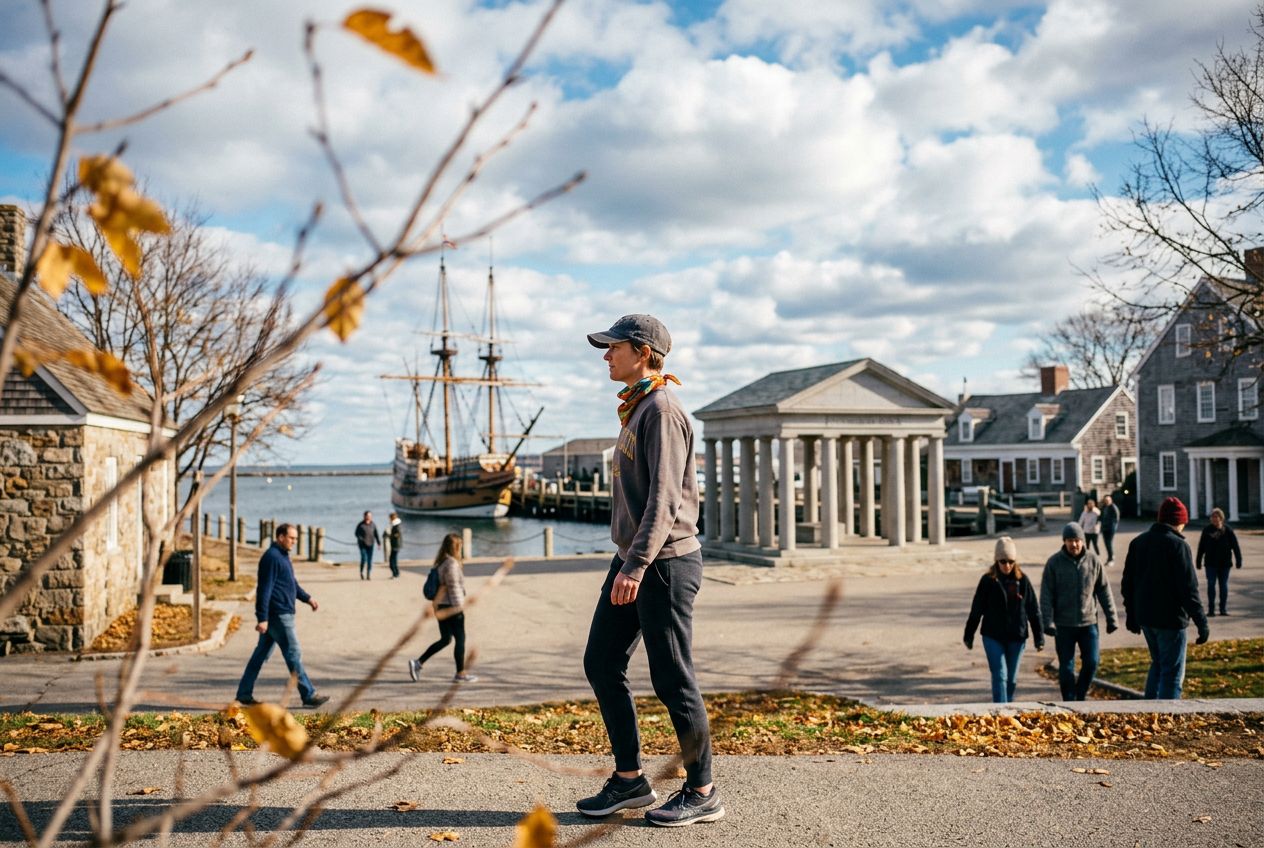
Muitas das histórias falam de começos: a casa de Paul Revere e a Old North Church, o Lexington Green e a North Bridge em Concord, a Pedra de Plymouth e o Mayflower II. Os julgamentos de bruxas de Salem e os canais de Lowell também entram na história.

Rotas35
Cidades30
Distância1.5 a 28.9 km
De bicicleta35

Cidades com várias rotas

Cada uma tem sua página, com as rotas que saem dali perto.

Todas as 35 rotas em Massachusetts

Back Bay · Beacon Hill · Beverly · Bliss Corner · Boston · Concord · East Somerville · Gloucester · Harvard · Head of Westport · Hingham · Hull · Jeffries Point · Lower Allston · Manchester-by-the-Sea · Marblehead · Nahant · Newburyport · Plymouth · Quincy · Readville · Reservoir · Rockport · Salem · Saugus · Scituate · South Boston · Ten Hills · VA Boston Healthcare System, Brockton Campus · Wellesley
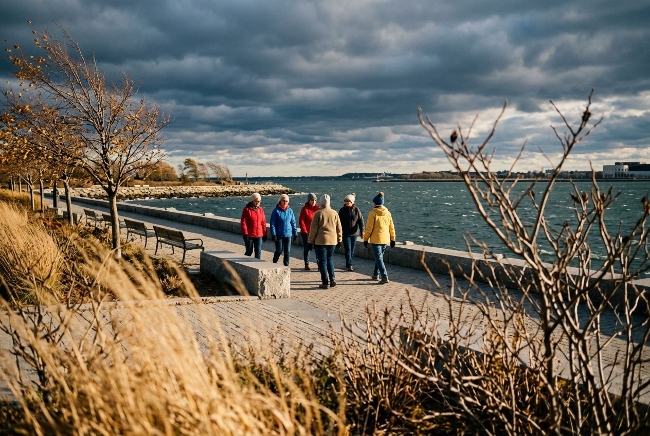
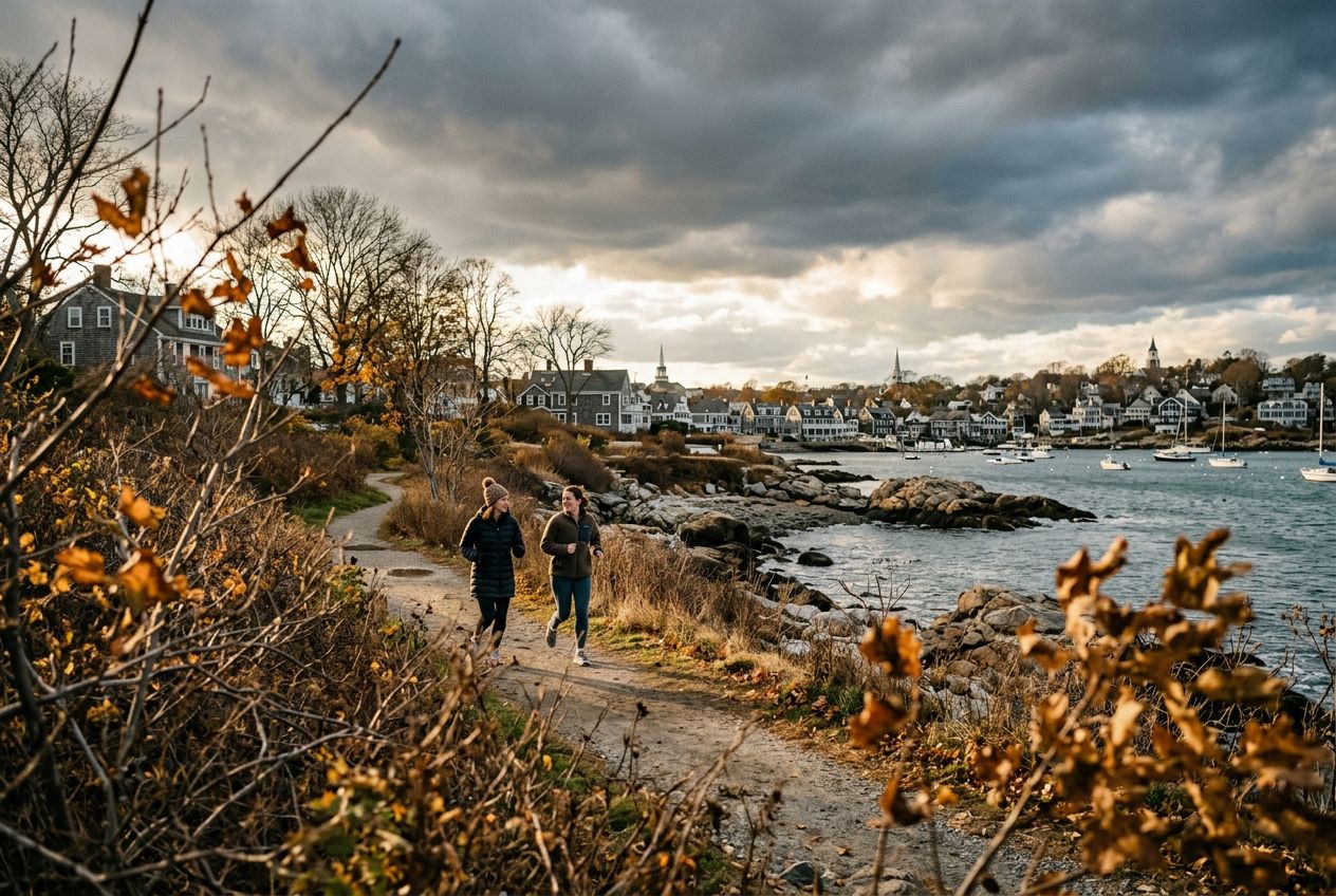
South Boston, Massachusetts

Run the South Boston Waterfront route, passing the harbor.

9.9 km · ≈ 38 min · ↑ 22 m
Correr · Pedalar· Só ida
Marblehead, Massachusetts

Run the Marblehead route in Marblehead, passing the harbor.

6.5 km · ≈ 1 h 30 · ↑ 33 m
Caminhar · Correr · Pedalar· Circular
Boston, Massachusetts

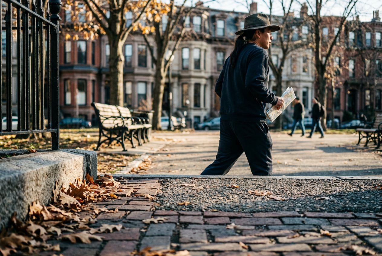
Explore Boston's Back Bay tour, passing brownstone streets.

6.1 km · ≈ 1 h 23 · ↑ 21 m
Caminhar · Correr · Pedalar· Circular
Concord, Massachusetts

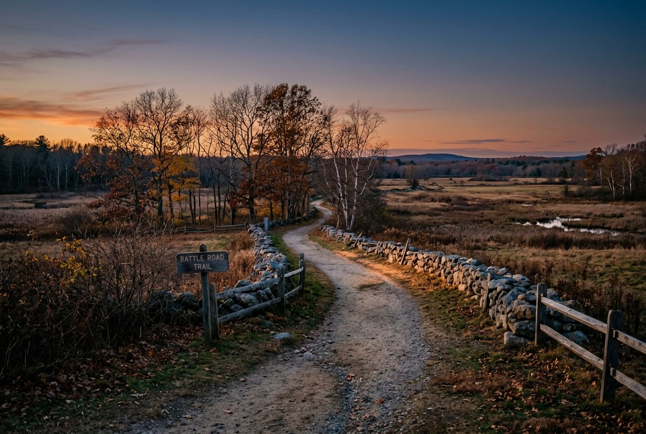
Run the Battle Road Trail in Concord, passing battle sites.

7.4 km · ≈ 1 h 45 · ↑ 65 m
Caminhar · Correr · Pedalar· Só ida
Jeffries Point, Massachusetts

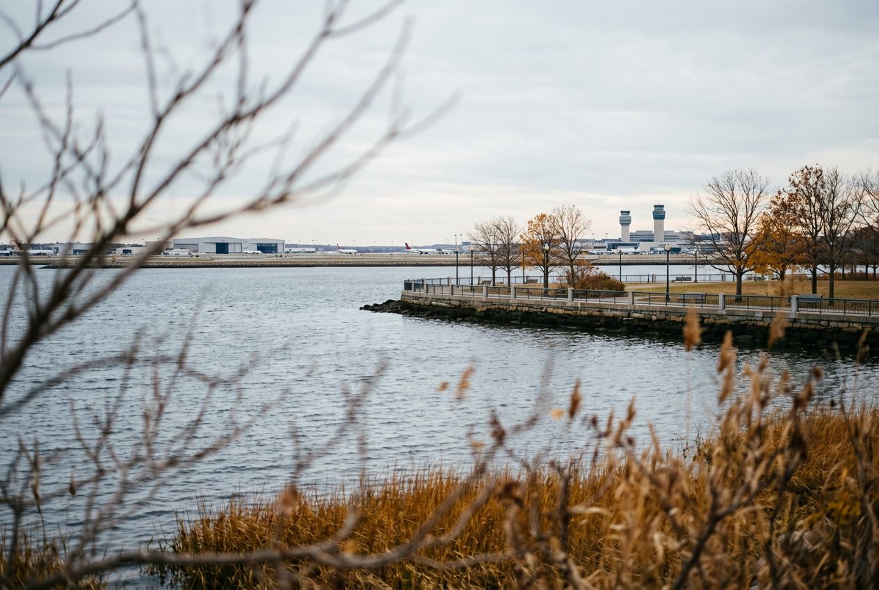
Run the East Boston Airport route, passing the waterfront.

8.5 km · ≈ 32 min · ↑ 6 m
Correr · Pedalar· Só ida
Lower Allston, Massachusetts

Explore Harvard and MIT in Boston, passing campuses.

12.9 km · ≈ 50 min · ↑ 22 m
Correr · Pedalar· Circular
East Somerville, Massachusetts

Run the Mystic Lakes and Northern Strand Trail.

8.9 km · ≈ 35 min · ↑ 26 m
Correr · Pedalar· Só ida
Saugus, Massachusetts

Run the Lynn Woods route in Saugus, passing wooded hills.

7.2 km · ≈ 1 h 47 · ↑ 110 m
Caminhar · Correr · Pedalar· Circular
Newburyport, Massachusetts

Run the North Shore route to Plum Island's open space.

7.4 km · ≈ 1 h 39 · ↑ 6 m
Caminhar · Correr · Pedalar· Só ida
Back Bay, Massachusetts

Run the Emerald Necklace parks through Back Bay.

12.4 km · ≈ 48 min · ↑ 31 m
Correr · Pedalar· Circular
Beverly, Massachusetts

Explore the Beverly tour in Beverly, passing the harbor.

6.4 km · ≈ 1 h 29 · ↑ 34 m
Caminhar · Correr · Pedalar· Circular
Ten Hills, Massachusetts

Run the Northern Strand trail from Everett to Lynn.

15.9 km · ≈ 1 h 01 · ↑ 22 m
Correr · Pedalar· Só ida
Rockport, Massachusetts

Run the Rockport route along the seaside harbour.

5.2 km · ≈ 1 h 13 · ↑ 41 m
Caminhar · Correr · Pedalar· Só ida
Beacon Hill, Massachusetts

Run the Boston South End tour through Beacon Hill.

7.1 km · ≈ 1 h 35 · ↑ 0 m
Caminhar · Correr · Pedalar· Circular
Harvard, Massachusetts

Run the apple orchard route in Harvard, passing orchards.

15.3 km · ≈ 1 h 09 · ↑ 195 m
Correr · Pedalar· Só ida
Gloucester, Massachusetts

Explore Gloucester Harbor out to Eastern Point.

15.7 km · ≈ 1 h 04 · ↑ 80 m
Correr · Pedalar· Só ida
Gloucester, Massachusetts

Run the Gloucester route in Gloucester, passing the harbor.

3 km · ≈ 42 min · ↑ 19 m
Caminhar · Correr · Pedalar· Só ida
Manchester-by-the-Sea, Massachusetts

Run the scenic Magnolia waterfront in Gloucester.

8.9 km · ≈ 38 min · ↑ 69 m
Correr · Pedalar· Ida e volta
Salem, Massachusetts

Run the Salem runseeing tour past its historic sites.

7.8 km · ≈ 1 h 46 · ↑ 15 m
Caminhar · Correr · Pedalar· Circular
Readville, Massachusetts

Run the Blue Hills Reservation trails in open space.

1.5 km · ≈ 32 min · ↑ 116 m
Caminhar · Correr · Pedalar· Só ida
Hingham, Massachusetts

Run the Cohasset route along the scenic South Shore.

10.7 km · ≈ 44 min · ↑ 63 m
Correr · Pedalar· Circular
Bliss Corner, Massachusetts

Run the Dartmouth Road through Bliss Corner.

12 km · ≈ 48 min · ↑ 46 m
Correr · Pedalar· Circular
Hull, Massachusetts

Run the Hull waterfront past the seaside shore.

8.6 km · ≈ 36 min · ↑ 64 m
Correr · Pedalar· Circular
Plymouth, Massachusetts

Run the Plymouth runseeing tour past its waterfront.

5 km · ≈ 1 h 09 · ↑ 26 m
Caminhar · Correr · Pedalar· Circular
Quincy, Massachusetts

Run the Quincy Shore Drive along the seaside coast.

5.6 km · ≈ 1 h 15 · ↑ 6 m
Caminhar · Correr · Pedalar· Só ida
Scituate, Massachusetts

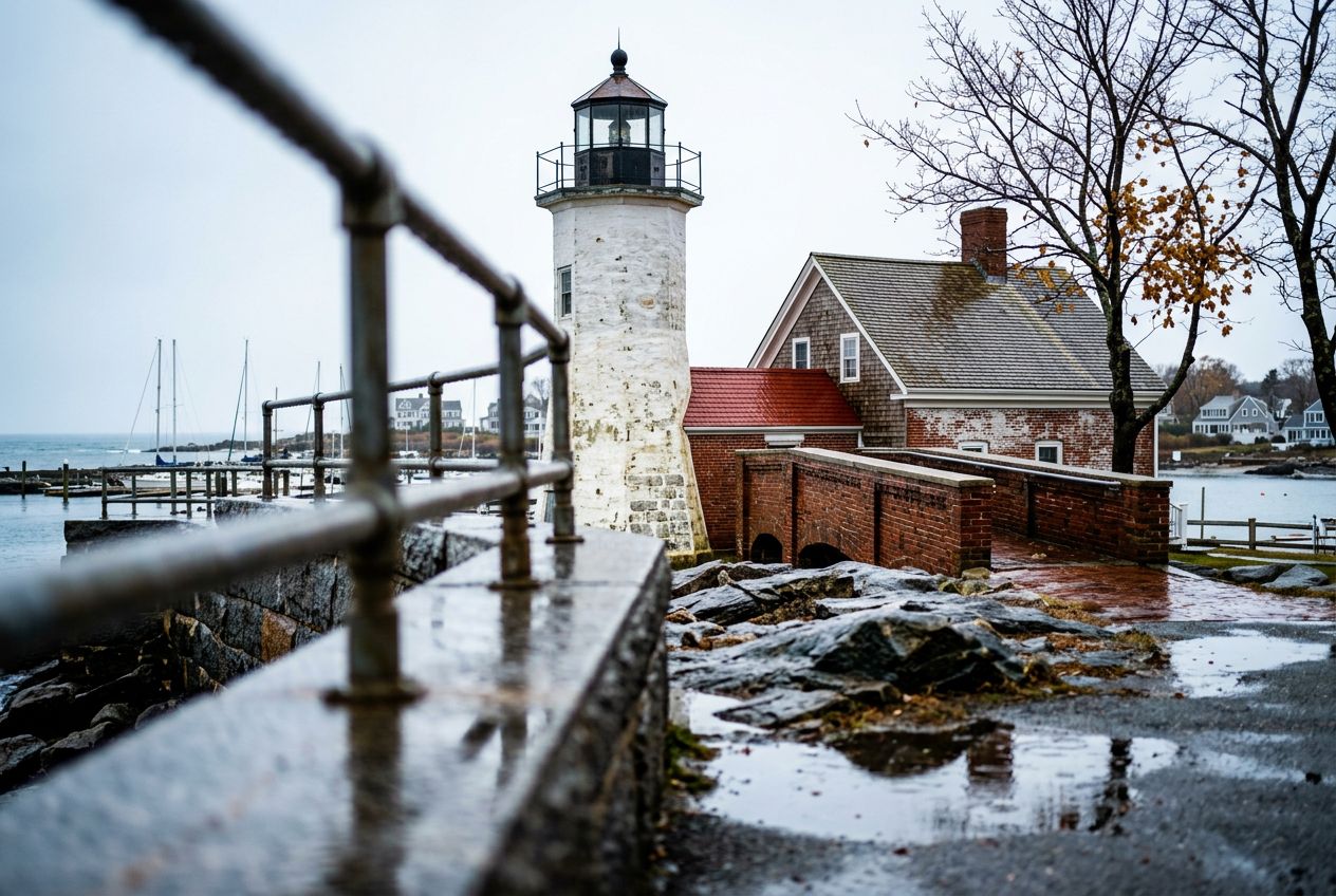
Run the Scituate route to its scenic lighthouse.

5.3 km · ≈ 1 h 11 · ↑ 7 m
Caminhar · Correr · Pedalar· Só ida
Head of Westport, Massachusetts

Run the Westport around the Head of Westport.

6.9 km · ≈ 1 h 33 · ↑ 10 m
Caminhar · Correr · Pedalar· Ida e volta
Hingham, Massachusetts

Run the World's End trails along Hingham's peninsula.

4.6 km · ≈ 1 h 08 · ↑ 64 m
Caminhar · Correr · Pedalar· Circular
VA Boston Healthcare System, Brockton Campus, Massachusetts

Run the Charles River paths through the Brockton campus.

14.2 km · ≈ 54 min · ↑ 19 m
Correr · Pedalar· Circular
Hingham, Massachusetts

Run the Nantasket Beach route along the Hingham coast.

12 km · ≈ 45 min · ↑ 3 m
Correr · Pedalar· Circular
Wellesley, Massachusetts

Run the Lake Waban route around Wellesley College.
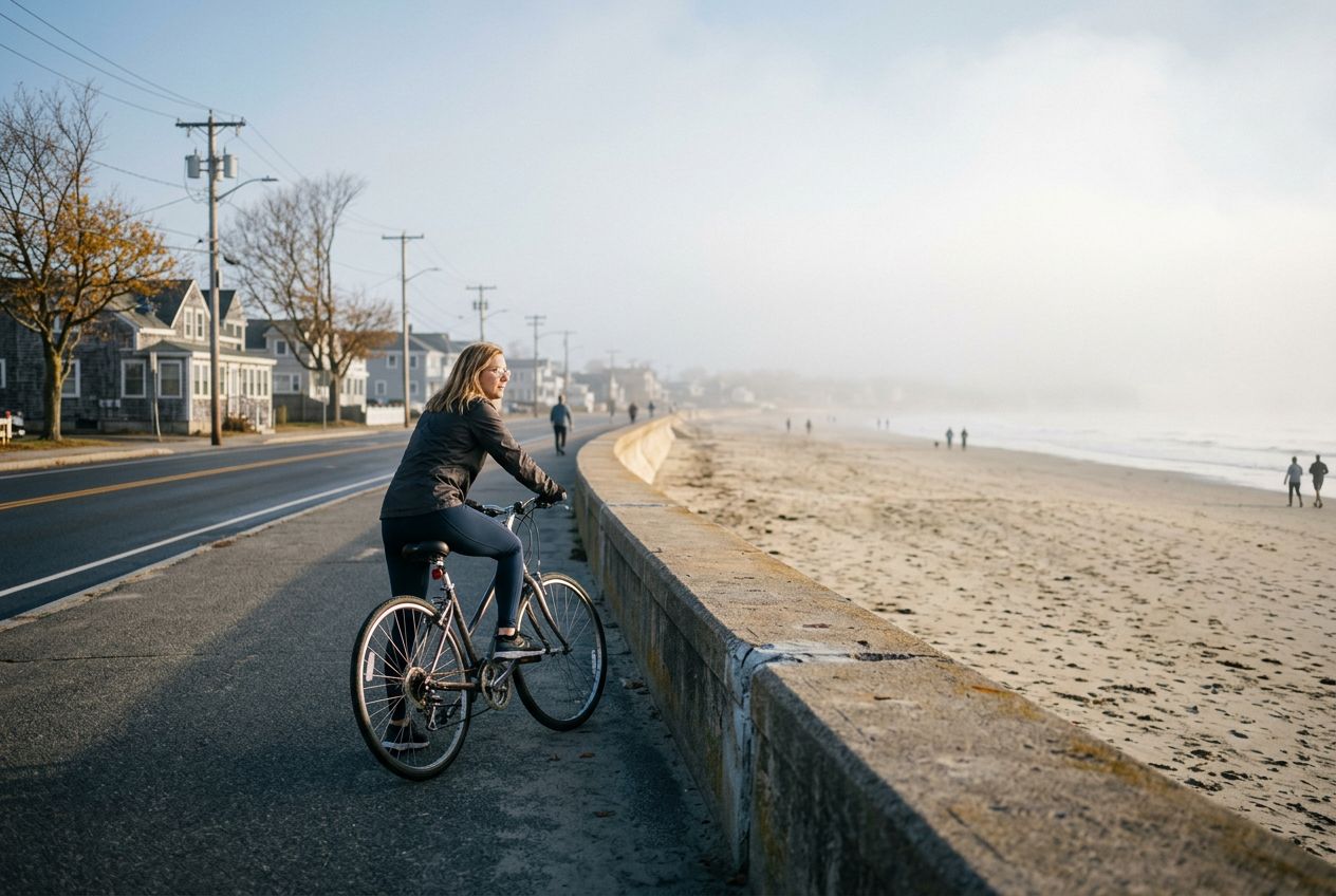
4.2 km · ≈ 57 min · ↑ 13 m
Caminhar · Correr · Pedalar· Circular
Reservoir, Massachusetts

Cycle the Charles River route in Reservoir along the river.

28.9 km · ≈ 2 h 02 · ↑ 231 m
Pedalar· Circular
Boston, Massachusetts

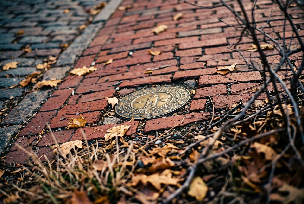
Explore the Freedom Trail in Boston, passing colonial sites.

5.3 km · ≈ 1 h 15 · ↑ 47 m
Caminhar · Correr · Pedalar· Só ida
Nahant, Massachusetts

Run the Nahant tour along the North Shore coast.

11.3 km · ≈ 47 min · ↑ 76 m
Correr · Pedalar· Circular
Nahant, Massachusetts

Run the Nahant waterfront route past Swampscott's shoreline.

4.8 km · ≈ 1 h 05 · ↑ 7 m
Caminhar · Correr · Pedalar· Só ida

Perto de Massachusetts

Também em Massachusetts