ルートを聴く

5万の物語が待っています。ひとつ再生してみましょう。

ルート

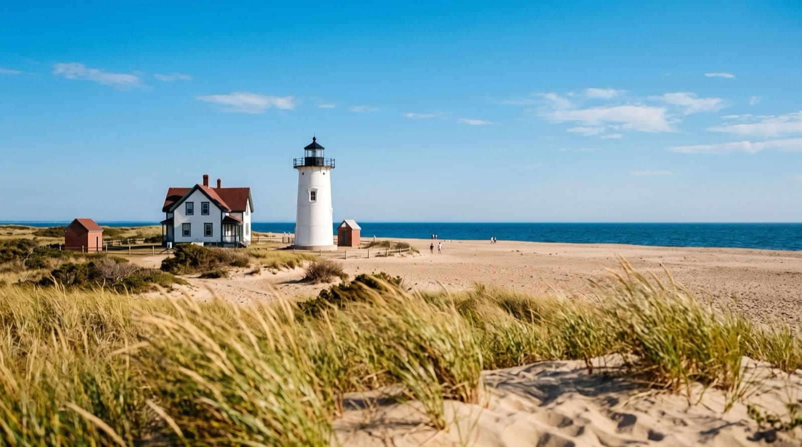
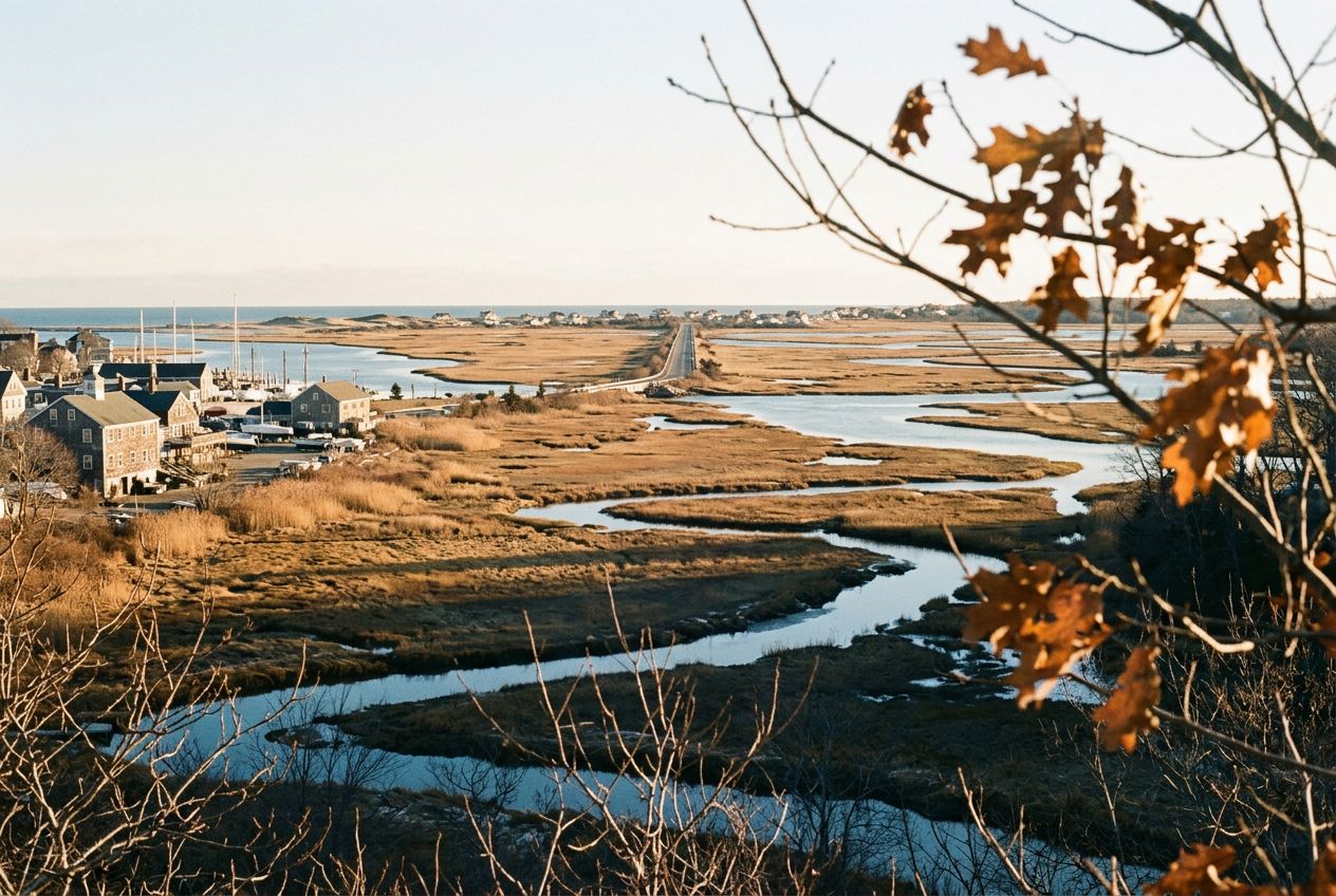
ケープ・コッドのプロビンスタウン近く、ビーチグラスと砂丘の向こうに立つレース・ポイント灯台(マサチューセッツ州)

Massachusettsのウォーキングとハイキング

通り過ぎる場所の物語付き、35ルート。ナレーションとオリジナル音楽で楽しめます。歩いても、走っても、自転車でもどうぞ。

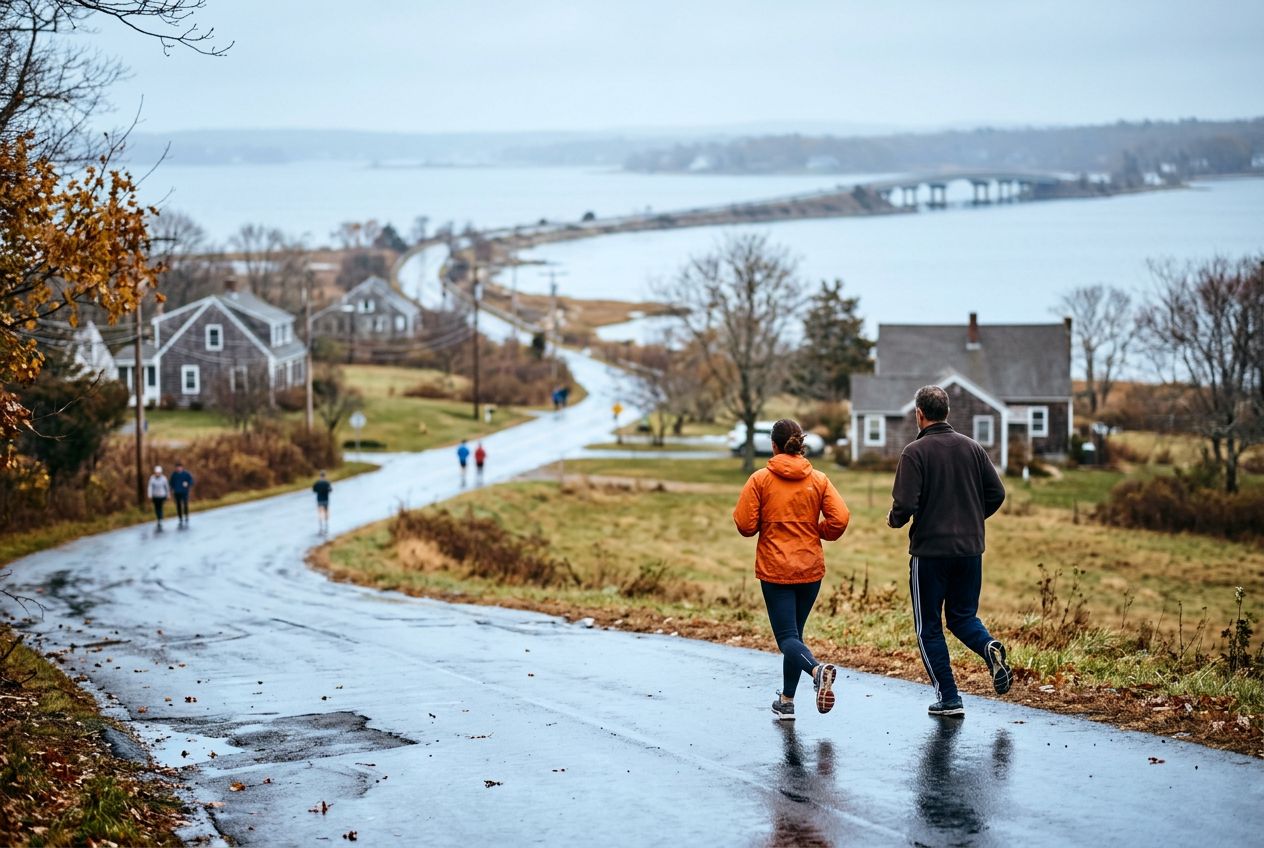
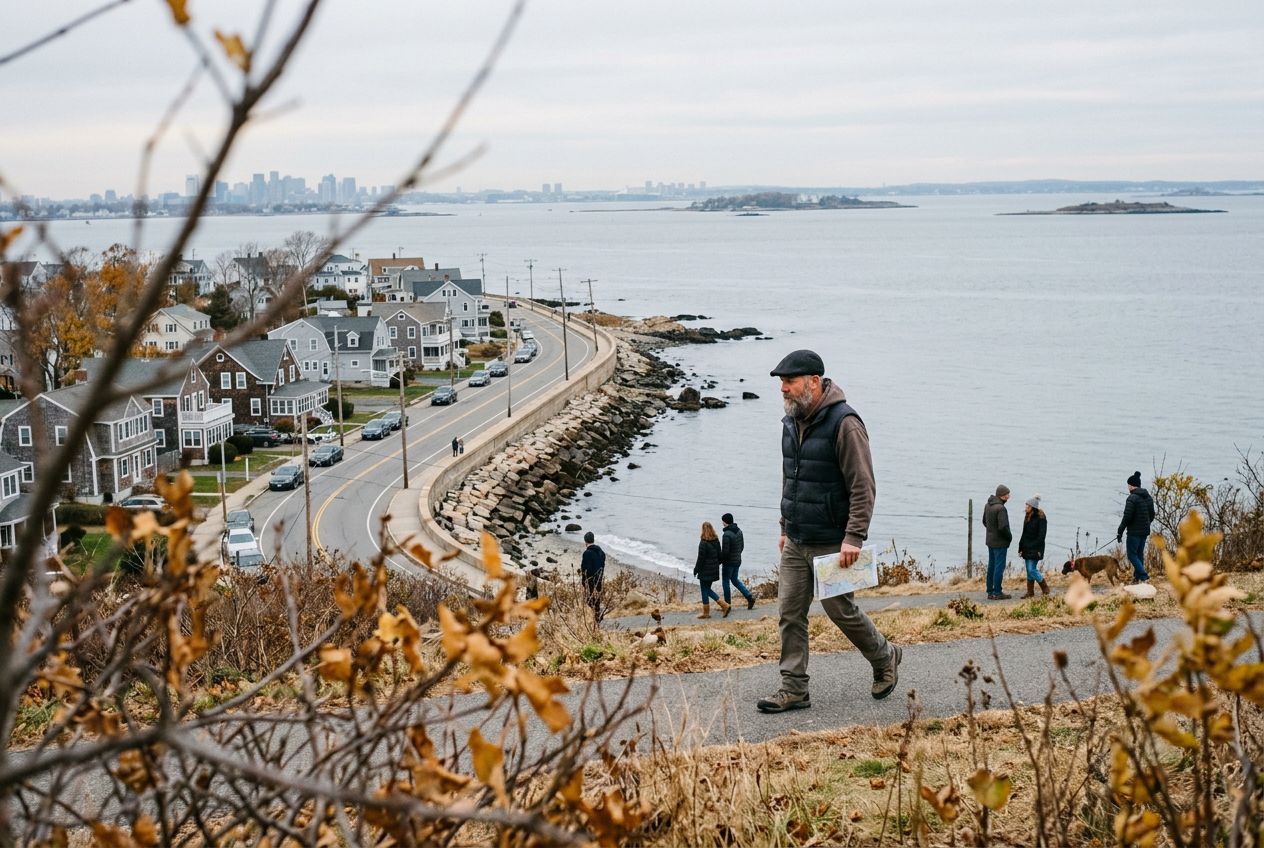
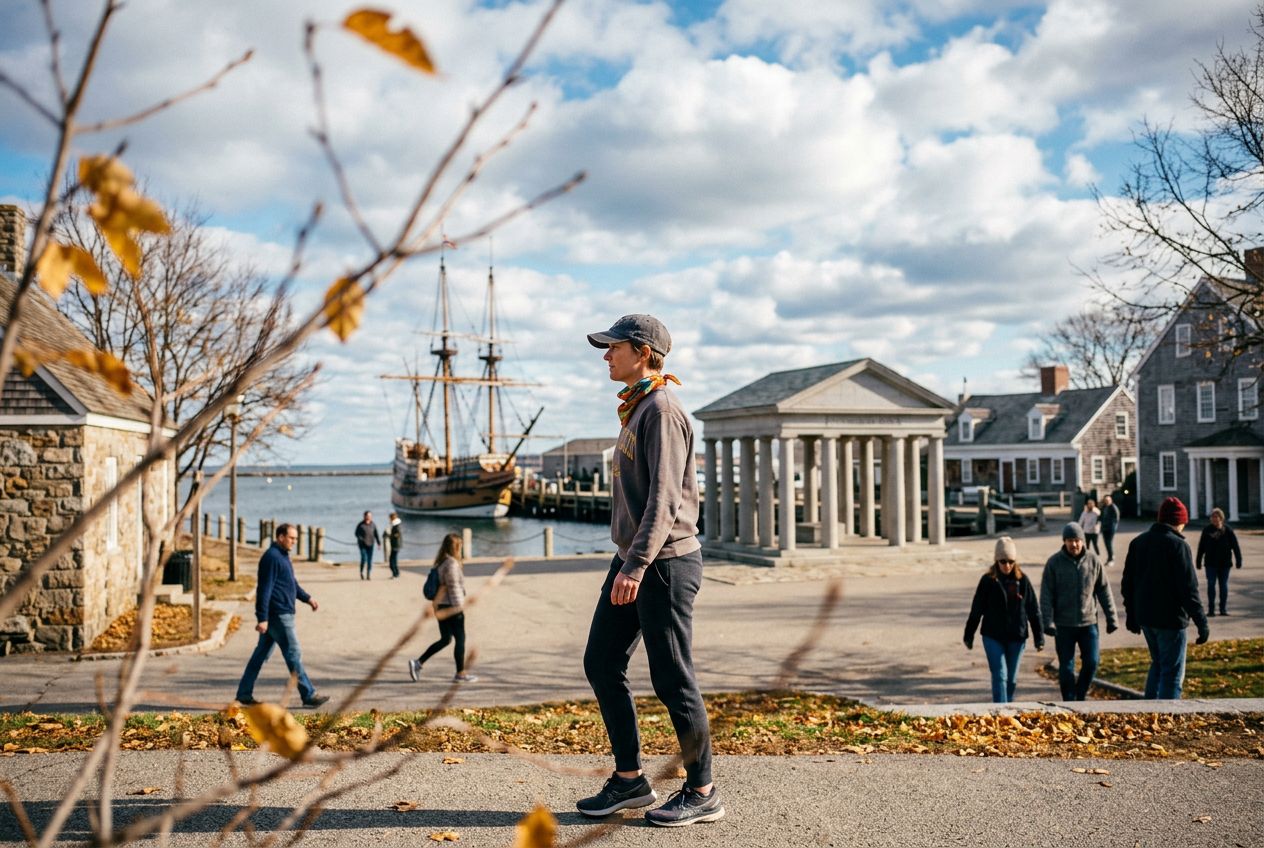
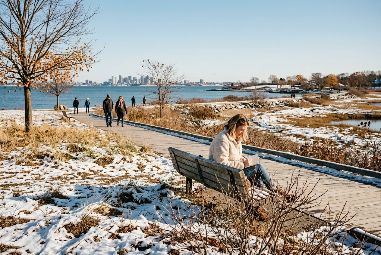
イメージ画像

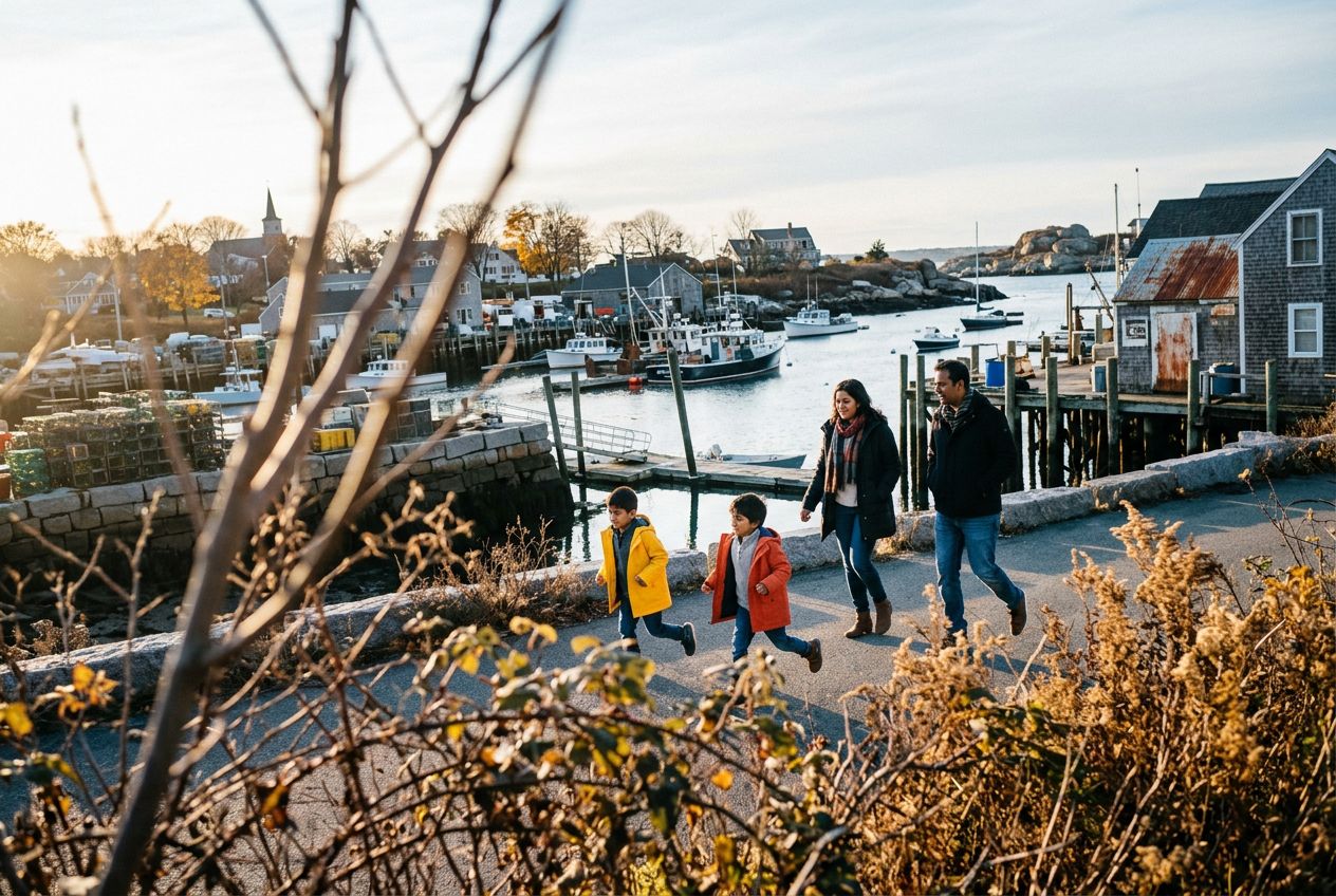
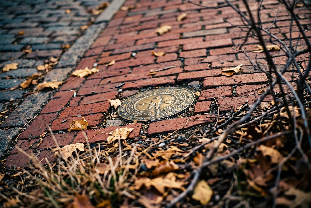
マサチューセッツは小さな州に多くのものが詰まっています。ボストンでは、フリーダム・トレイル、エメラルド・ネックレス、チャールズ川エスプラネードが楽しめ、ミニットマン自転車道はベッドフォードまで続きます。ケープ・コッドにはグレート・アイランド・トレイルとレース・ポイント・ビーチがあり、ノースショアにはハリバット・ポイントとケープ・アン周回ルートがあります。西へ行けば、アパラチアン・トレイルでグリーロック山に登れます。

多くの話は始まりにまつわるものです。ポール・リビアの家と旧北教会、レキシントン・グリーンとコンコードのノース・ブリッジ、プリマス・ロックとメイフラワーII号。セーラムの魔女裁判やローウェルの運河の話も含まれます。

ルート35
町30
距離1.5〜28.9 km
自転車で35

ルートが多い町

町ごとにページがあり、近くから始まるルートが見られます。

Massachusettsの全35ルート

Back Bay · Beacon Hill · Beverly · Bliss Corner · Boston · Concord · East Somerville · Gloucester · Harvard · Head of Westport · Hingham · Hull · Jeffries Point · Lower Allston · Manchester-by-the-Sea · Marblehead · Nahant · Newburyport · Plymouth · Quincy · Readville · Reservoir · Rockport · Salem · Saugus · Scituate · South Boston · Ten Hills · VA Boston Healthcare System, Brockton Campus · Wellesley
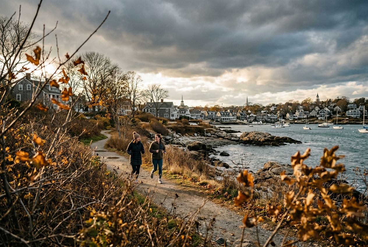
South Boston, Massachusetts

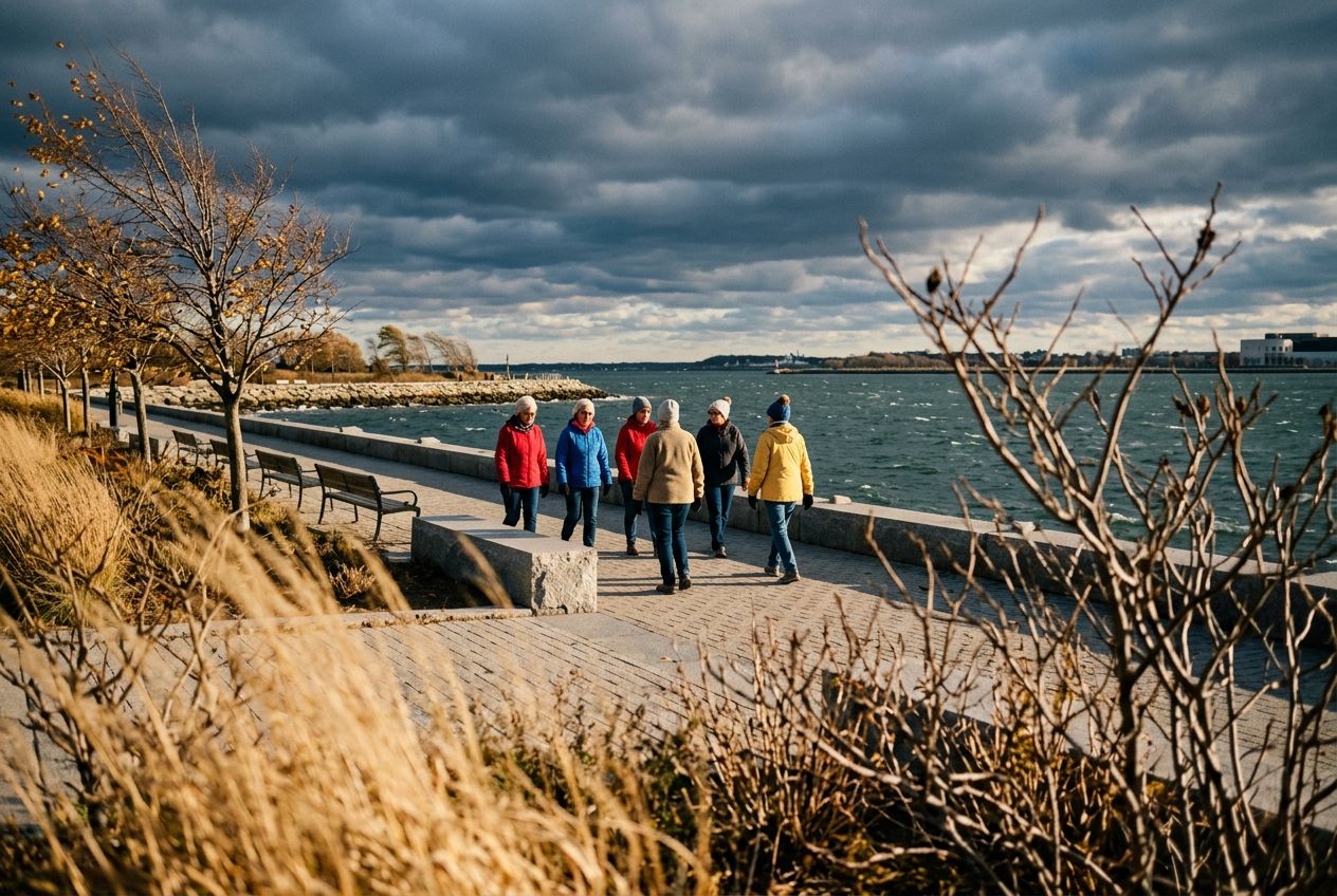
Run the South Boston Waterfront route, passing the harbor.

9.9 km · ≈ 38分 · ↑ 22 m
ラン · サイクリング· 片道
Marblehead, Massachusetts

Run the Marblehead route in Marblehead, passing the harbor.

6.5 km · ≈ 1時間30分 · ↑ 33 m
ウォーク · ラン · サイクリング· 周回
Boston, Massachusetts

Explore Boston's Back Bay tour, passing brownstone streets.

6.1 km · ≈ 1時間23分 · ↑ 21 m
ウォーク · ラン · サイクリング· 周回
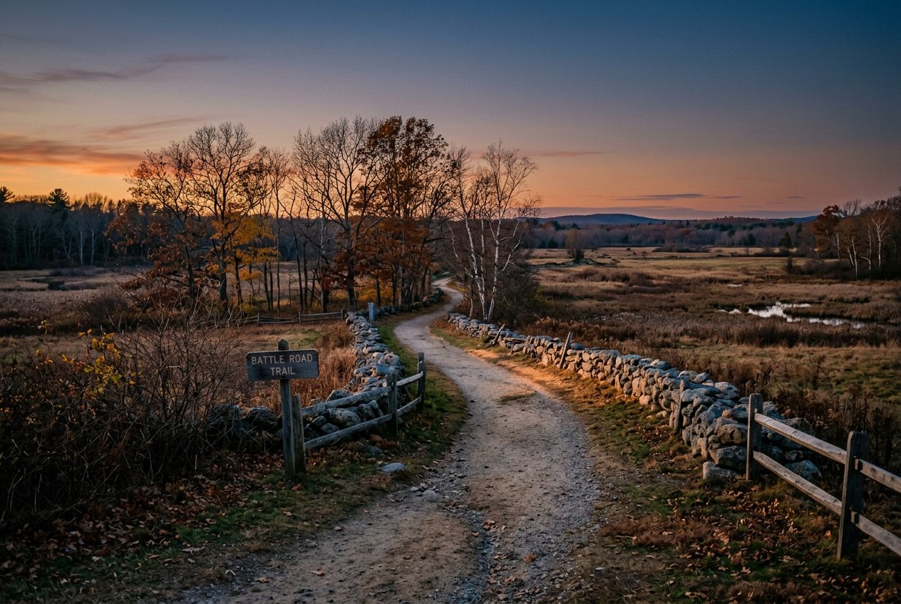
Concord, Massachusetts

Run the Battle Road Trail in Concord, passing battle sites.

7.4 km · ≈ 1時間45分 · ↑ 65 m
ウォーク · ラン · サイクリング· 片道
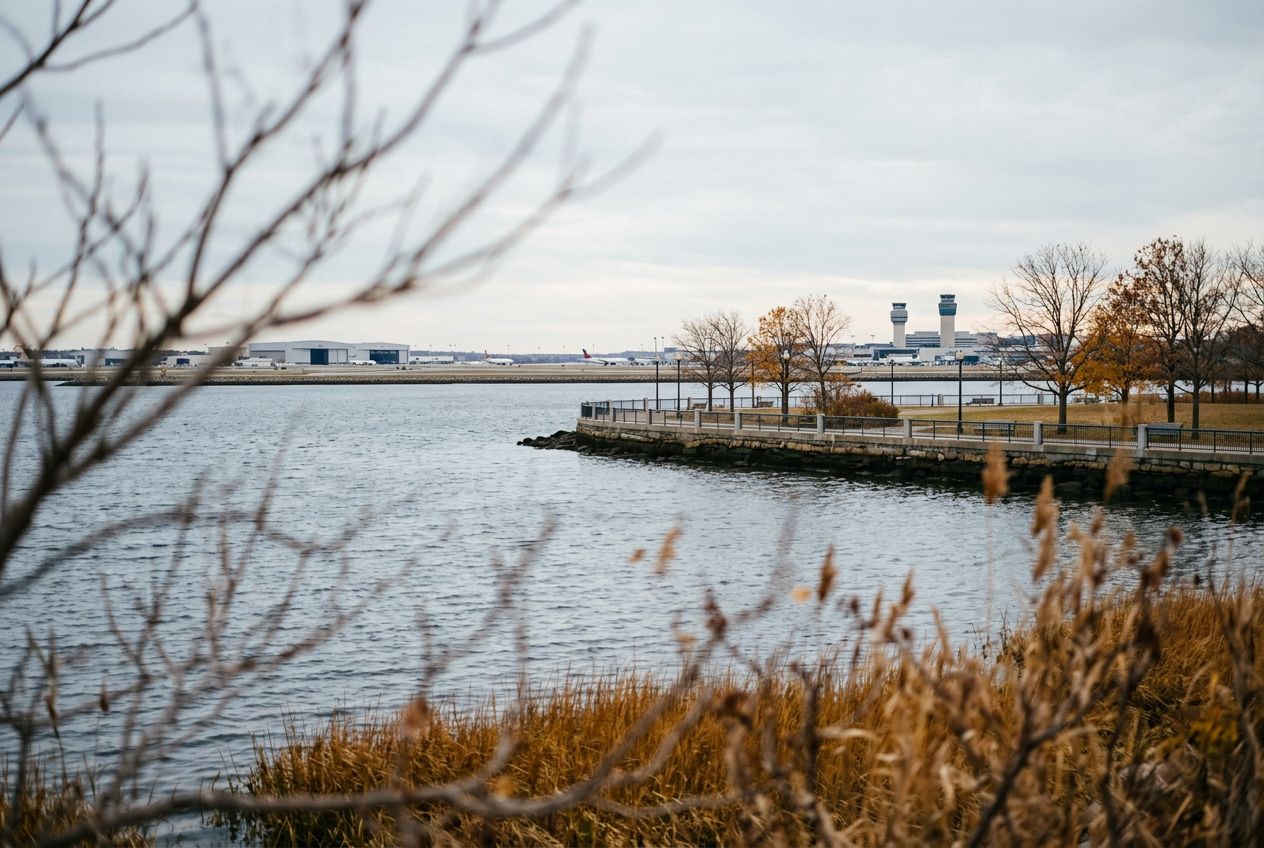
Jeffries Point, Massachusetts

Run the East Boston Airport route, passing the waterfront.

8.5 km · ≈ 32分 · ↑ 6 m
ラン · サイクリング· 片道
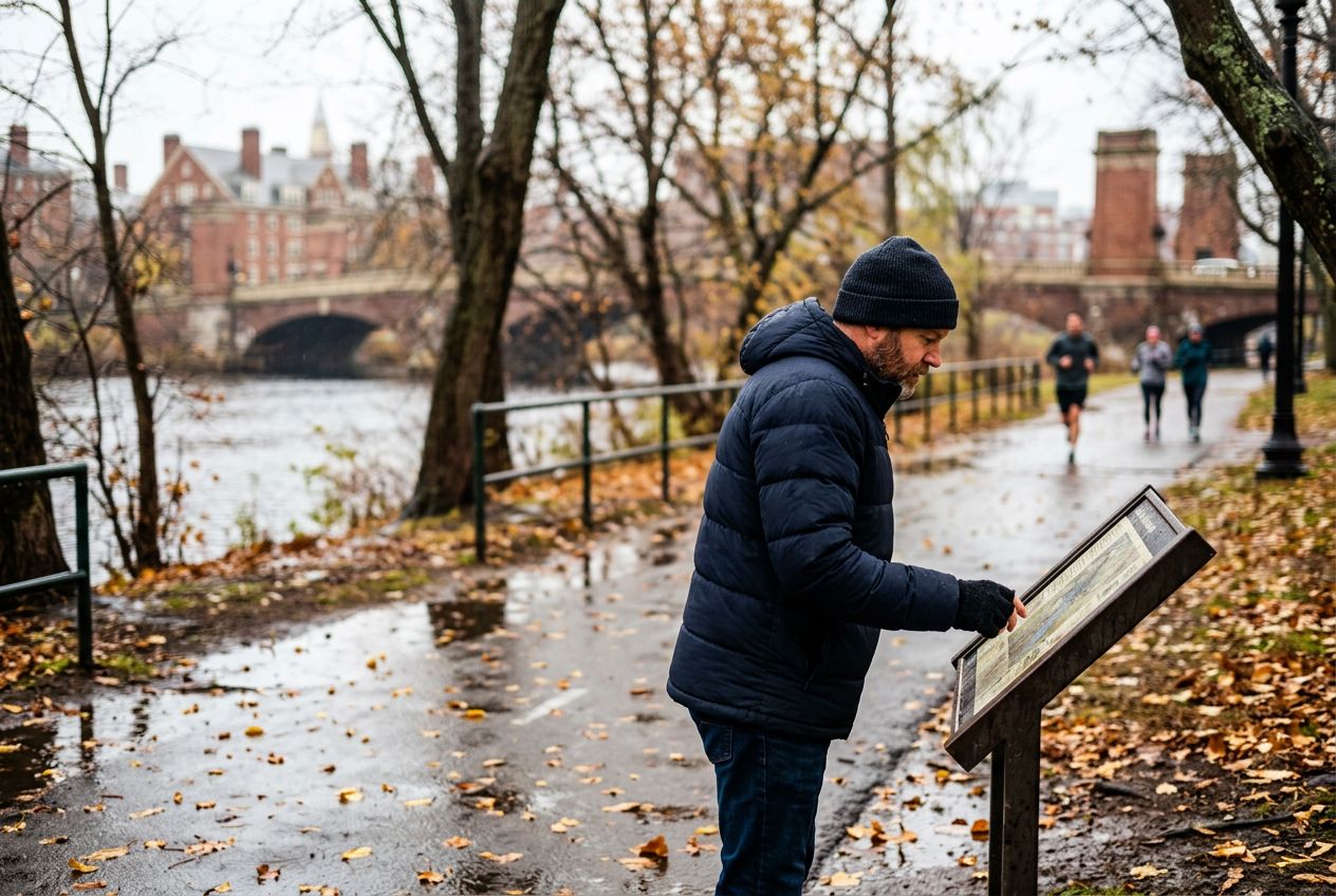
Lower Allston, Massachusetts

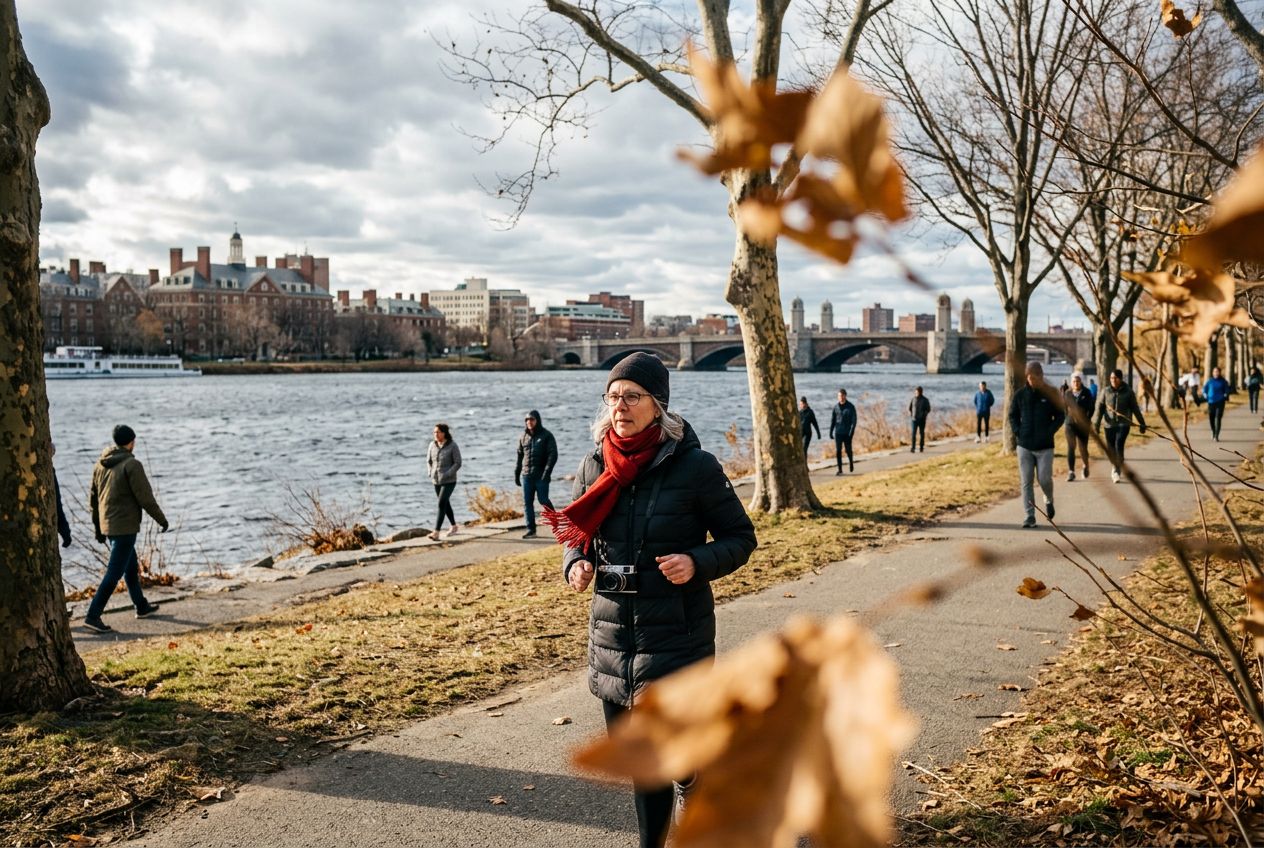
Explore Harvard and MIT in Boston, passing campuses.

12.9 km · ≈ 50分 · ↑ 22 m
ラン · サイクリング· 周回
East Somerville, Massachusetts

Run the Mystic Lakes and Northern Strand Trail.

8.9 km · ≈ 35分 · ↑ 26 m
ラン · サイクリング· 片道
Saugus, Massachusetts

Run the Lynn Woods route in Saugus, passing wooded hills.

7.2 km · ≈ 1時間47分 · ↑ 110 m
ウォーク · ラン · サイクリング· 周回
Newburyport, Massachusetts

Run the North Shore route to Plum Island's open space.

7.4 km · ≈ 1時間39分 · ↑ 6 m
ウォーク · ラン · サイクリング· 片道
Back Bay, Massachusetts

Run the Emerald Necklace parks through Back Bay.

12.4 km · ≈ 48分 · ↑ 31 m
ラン · サイクリング· 周回
Beverly, Massachusetts

Explore the Beverly tour in Beverly, passing the harbor.

6.4 km · ≈ 1時間29分 · ↑ 34 m
ウォーク · ラン · サイクリング· 周回
Ten Hills, Massachusetts

Run the Northern Strand trail from Everett to Lynn.

15.9 km · ≈ 1時間01分 · ↑ 22 m
ラン · サイクリング· 片道
Rockport, Massachusetts

Run the Rockport route along the seaside harbour.

5.2 km · ≈ 1時間13分 · ↑ 41 m
ウォーク · ラン · サイクリング· 片道
Beacon Hill, Massachusetts

Run the Boston South End tour through Beacon Hill.

7.1 km · ≈ 1時間35分 · ↑ 0 m
ウォーク · ラン · サイクリング· 周回
Harvard, Massachusetts

Run the apple orchard route in Harvard, passing orchards.

15.3 km · ≈ 1時間09分 · ↑ 195 m
ラン · サイクリング· 片道
Gloucester, Massachusetts

Explore Gloucester Harbor out to Eastern Point.

15.7 km · ≈ 1時間04分 · ↑ 80 m
ラン · サイクリング· 片道
Gloucester, Massachusetts

Run the Gloucester route in Gloucester, passing the harbor.

3 km · ≈ 42分 · ↑ 19 m
ウォーク · ラン · サイクリング· 片道
Manchester-by-the-Sea, Massachusetts

Run the scenic Magnolia waterfront in Gloucester.

8.9 km · ≈ 38分 · ↑ 69 m
ラン · サイクリング· 往復
Salem, Massachusetts

Run the Salem runseeing tour past its historic sites.

7.8 km · ≈ 1時間46分 · ↑ 15 m
ウォーク · ラン · サイクリング· 周回
Readville, Massachusetts

Run the Blue Hills Reservation trails in open space.

1.5 km · ≈ 32分 · ↑ 116 m
ウォーク · ラン · サイクリング· 片道
Hingham, Massachusetts

Run the Cohasset route along the scenic South Shore.

10.7 km · ≈ 44分 · ↑ 63 m
ラン · サイクリング· 周回
Bliss Corner, Massachusetts

Run the Dartmouth Road through Bliss Corner.

12 km · ≈ 48分 · ↑ 46 m
ラン · サイクリング· 周回
Hull, Massachusetts

Run the Hull waterfront past the seaside shore.

8.6 km · ≈ 36分 · ↑ 64 m
ラン · サイクリング· 周回
Plymouth, Massachusetts

Run the Plymouth runseeing tour past its waterfront.

5 km · ≈ 1時間09分 · ↑ 26 m
ウォーク · ラン · サイクリング· 周回
Quincy, Massachusetts

Run the Quincy Shore Drive along the seaside coast.

5.6 km · ≈ 1時間15分 · ↑ 6 m
ウォーク · ラン · サイクリング· 片道
Scituate, Massachusetts

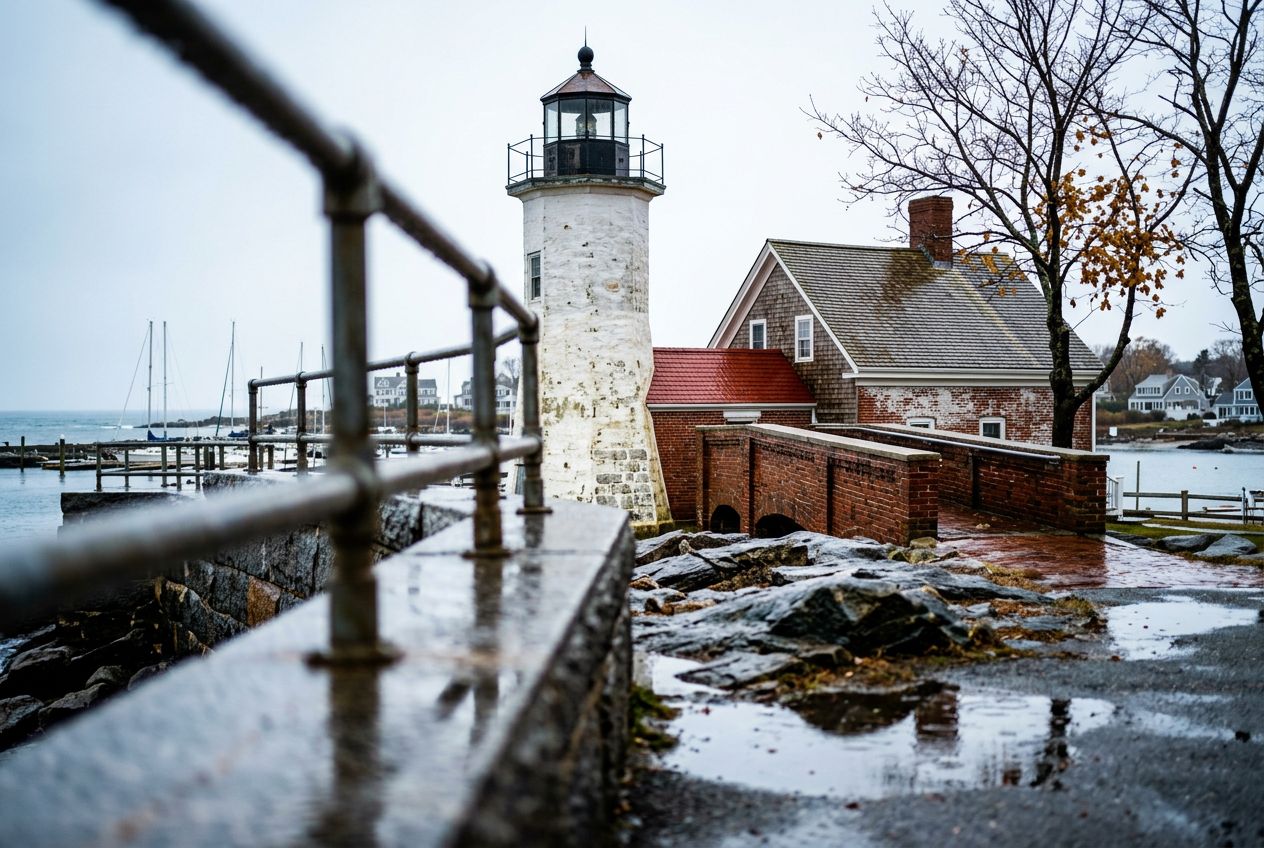
Run the Scituate route to its scenic lighthouse.

5.3 km · ≈ 1時間11分 · ↑ 7 m
ウォーク · ラン · サイクリング· 片道
Head of Westport, Massachusetts

Run the Westport around the Head of Westport.

6.9 km · ≈ 1時間33分 · ↑ 10 m
ウォーク · ラン · サイクリング· 往復
Hingham, Massachusetts

Run the World's End trails along Hingham's peninsula.

4.6 km · ≈ 1時間08分 · ↑ 64 m
ウォーク · ラン · サイクリング· 周回
VA Boston Healthcare System, Brockton Campus, Massachusetts

Run the Charles River paths through the Brockton campus.

14.2 km · ≈ 54分 · ↑ 19 m
ラン · サイクリング· 周回
Hingham, Massachusetts

Run the Nantasket Beach route along the Hingham coast.

12 km · ≈ 45分 · ↑ 3 m
ラン · サイクリング· 周回
Wellesley, Massachusetts

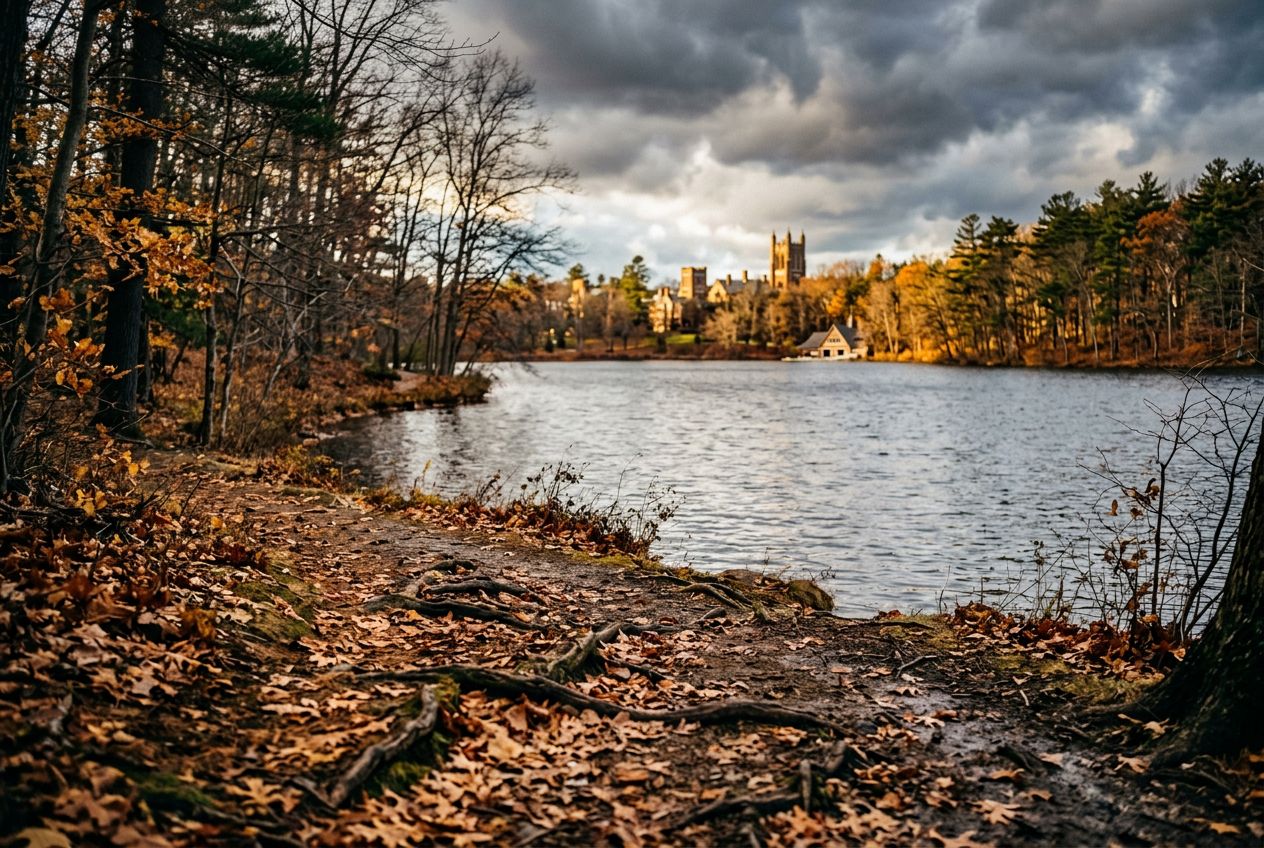
Run the Lake Waban route around Wellesley College.
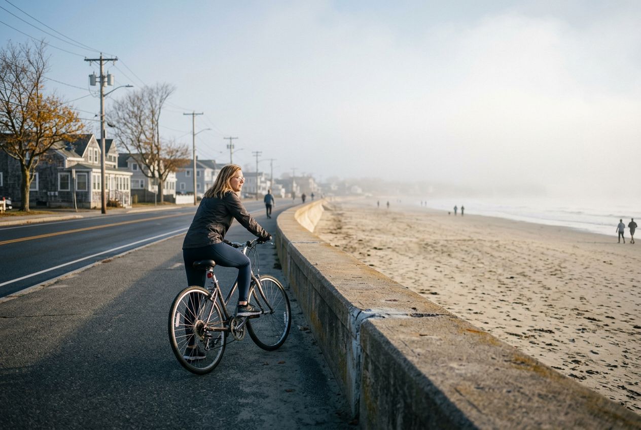
4.2 km · ≈ 57分 · ↑ 13 m
ウォーク · ラン · サイクリング· 周回
Reservoir, Massachusetts

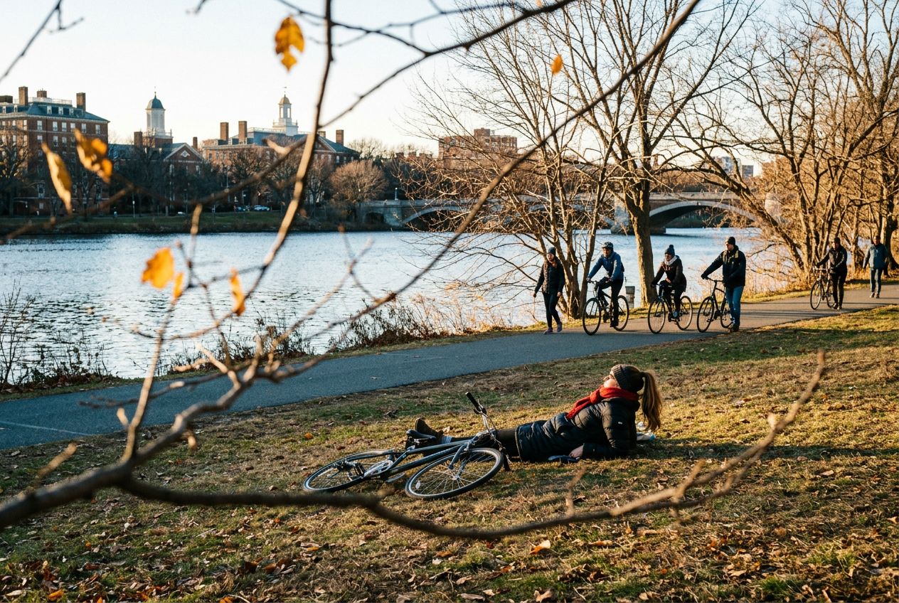
Cycle the Charles River route in Reservoir along the river.

28.9 km · ≈ 2時間02分 · ↑ 231 m
サイクリング· 周回
Boston, Massachusetts

Explore the Freedom Trail in Boston, passing colonial sites.

5.3 km · ≈ 1時間15分 · ↑ 47 m
ウォーク · ラン · サイクリング· 片道
Nahant, Massachusetts

Run the Nahant tour along the North Shore coast.

11.3 km · ≈ 47分 · ↑ 76 m
ラン · サイクリング· 周回
Nahant, Massachusetts

Run the Nahant waterfront route past Swampscott's shoreline.

4.8 km · ≈ 1時間05分 · ↑ 7 m
ウォーク · ラン · サイクリング· 片道

Massachusettsの近く

Massachusettsのほかのルート