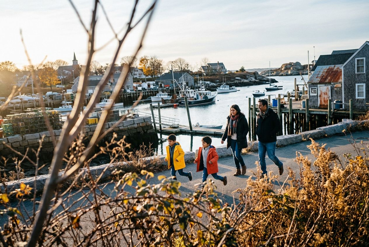
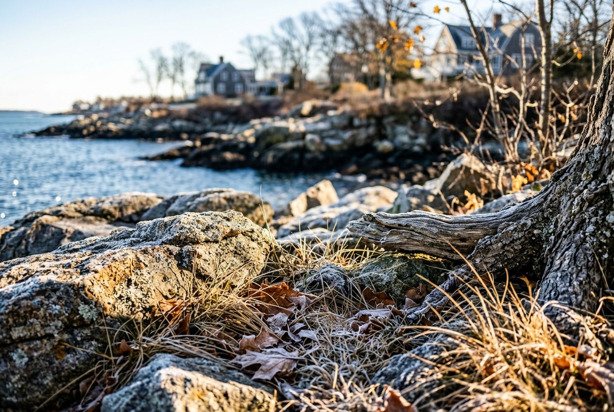
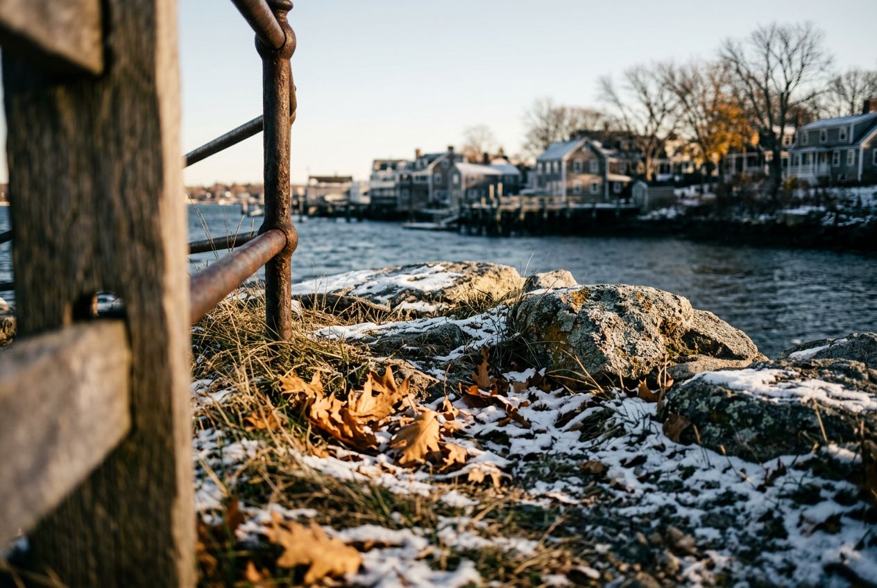
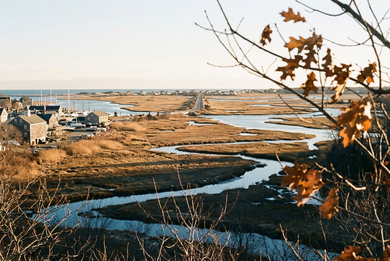
Plum IslandAbout 4.5 miles of running along the water and marshes reaches this island.
ルートを聴く
5万の物語が待っています。ひとつ再生してみましょう。
ルート
地図で見る
ピンひとつがルートひとつ。どのルートも物語でいっぱいです。
 Route Stories
5万の物語が待っています。ひとつ再生してみましょう。
ピンひとつがルートひとつ。どのルートも物語でいっぱいです。




 90の言語




















Here we have a coastal town with good running: about 4.5 miles along the water and marshes out to Plum Island, the Clipper City Rail Trail, and Maudslay State Park, with trails past 19th century gardens, meadows, and tall pines.
Newburyportから歩き、走り、自転車で、片道ルートです。全長7.4 km、登り6 m。