



















Écouter un parcours

50 000 histoires n'attendent que toi. Lance-en une.

Parcours

Run the North Shore route to Plum Island's open space., Newburyport, Massachusetts

Run the North Shore route to Plum Island's open space.

90 langues
Touchez pour écouter des extraits
Convient pourMarcheCourse à piedVélo
En villeCampagnePlat et facile3 lieux en chemin

Des histoires étonnantes en explorant.

Touchez pour écouter des extraits

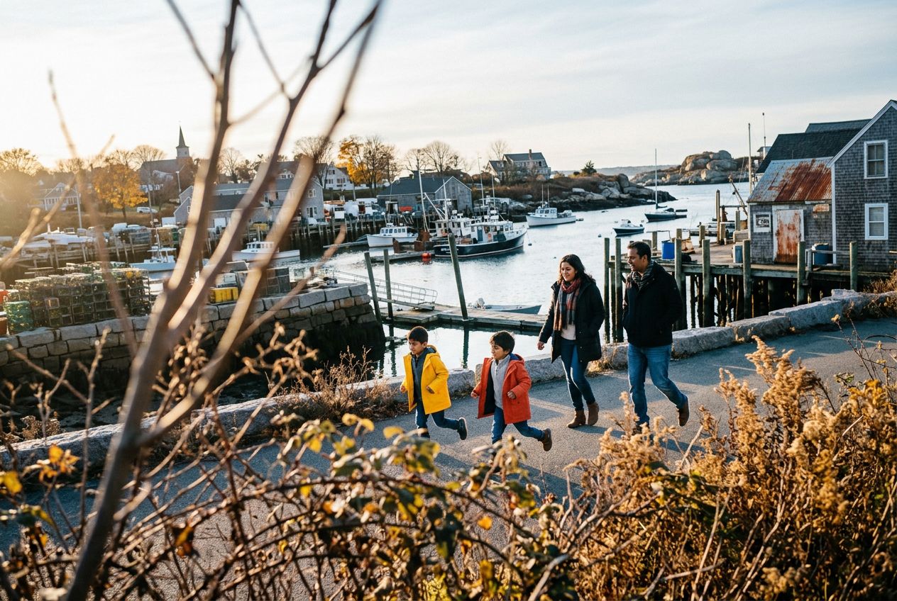
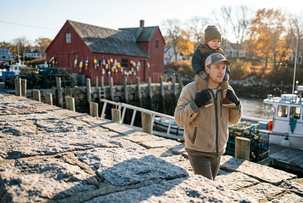
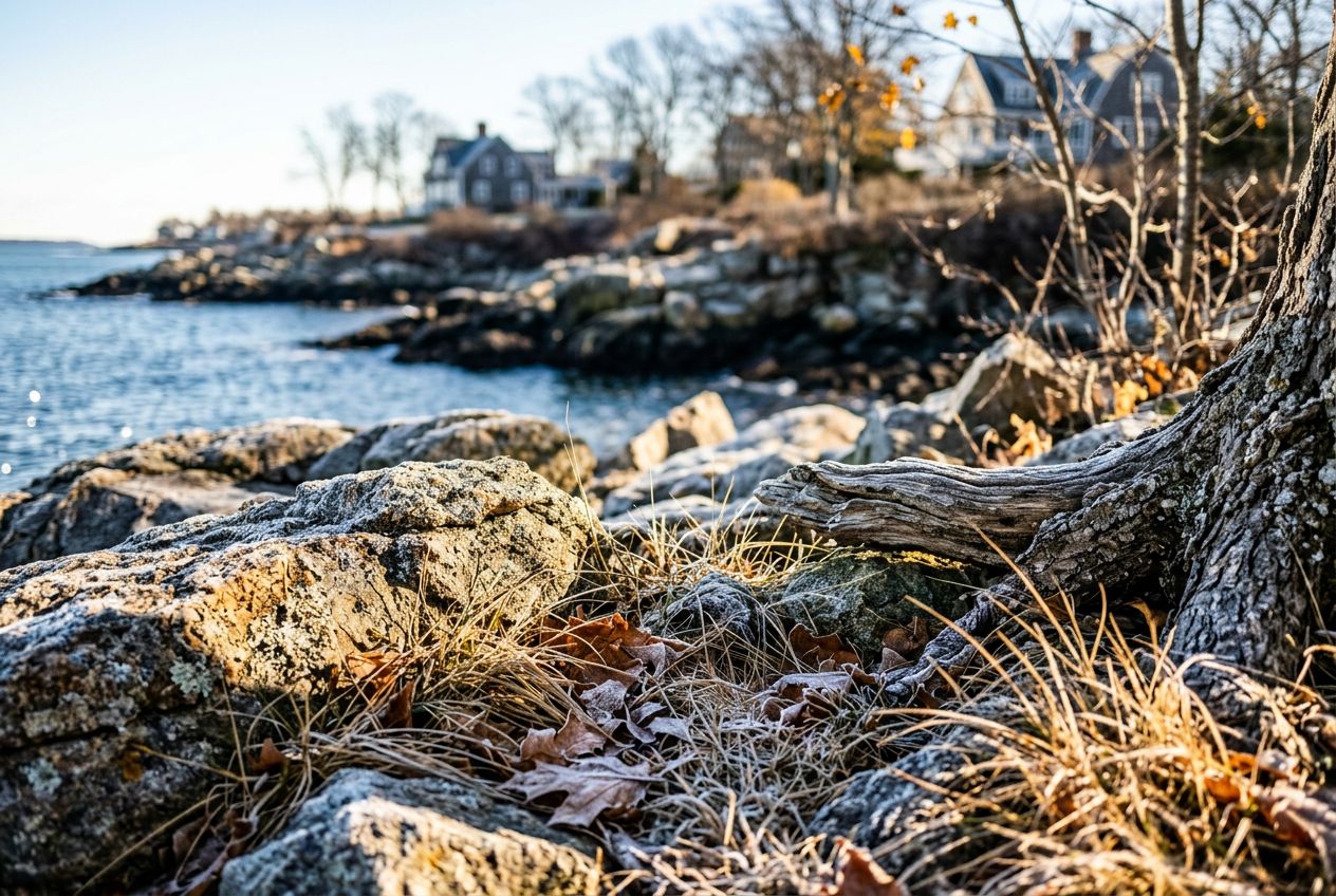
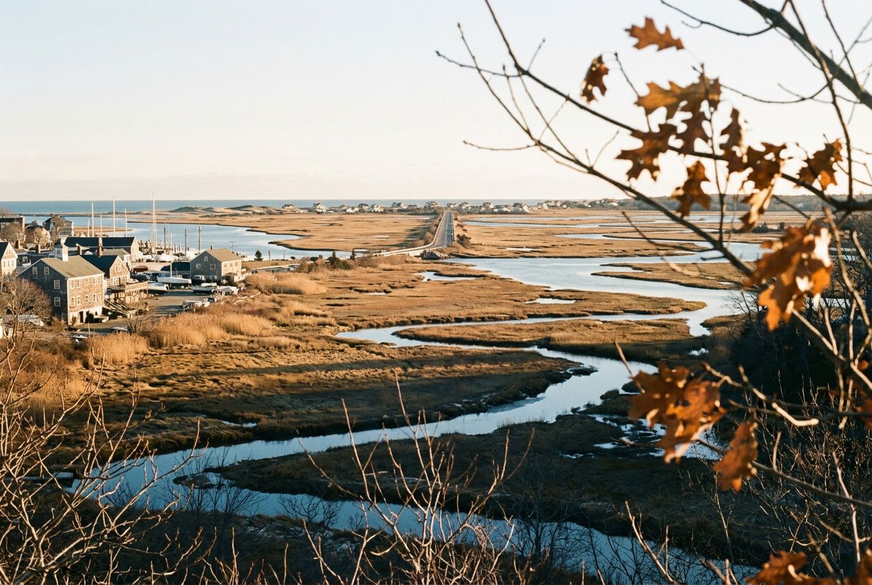
Here we have a coastal town with good running: about 4.5 miles along the water and marshes out to Plum Island, the Clipper City Rail Trail, and Maudslay State Park, with trails past 19th century gardens, meadows, and tall pines.

En chemin

1
Plum IslandAbout 4.5 miles of running along the water and marshes reaches this island.
2
Maudslay State ParkTrails past 19th century gardens, rolling meadows, and towering pines.
3
Clipper City Rail TrailA rail trail offered as another running option in Newburyport.

L'itinéraire

Distance7.4 km
Marche≈ 1 h 39
Course à pied≈ 45 min
Montée↑ 6 m
ParcoursAller simple

Un itinéraire en sens unique de 7.4 km au départ de Newburyport pour marcher, courir ou faire du vélo, avec 6 m de dénivelé positif.

Dénivelé↑ 6 m au total

Avant de partir

DépartHarborwalk, Newburyport, Boston, 01950Ouvrir le départ dans Plans →
ArrivéeAilleurs qu'au départ : voir la carte
Histoires racontées en
Partage-le gratuitement avec 5 personnes