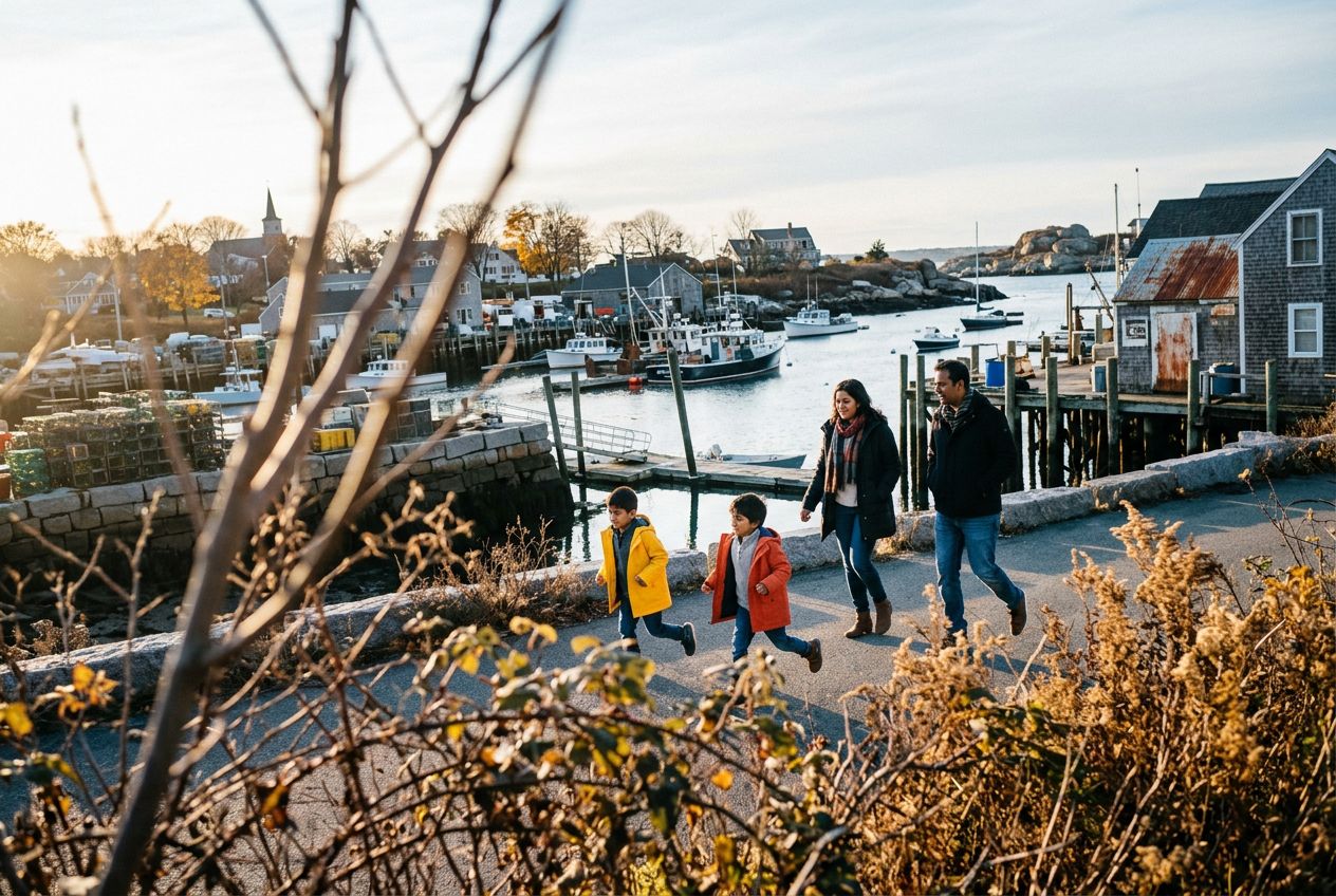
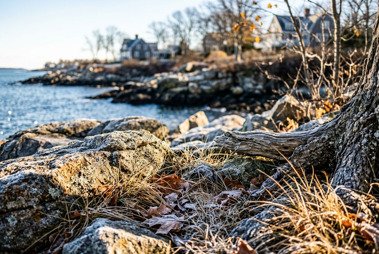
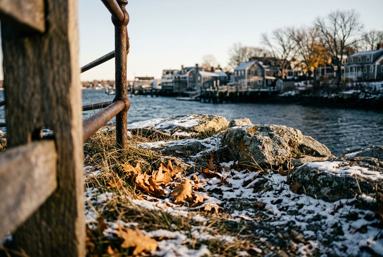
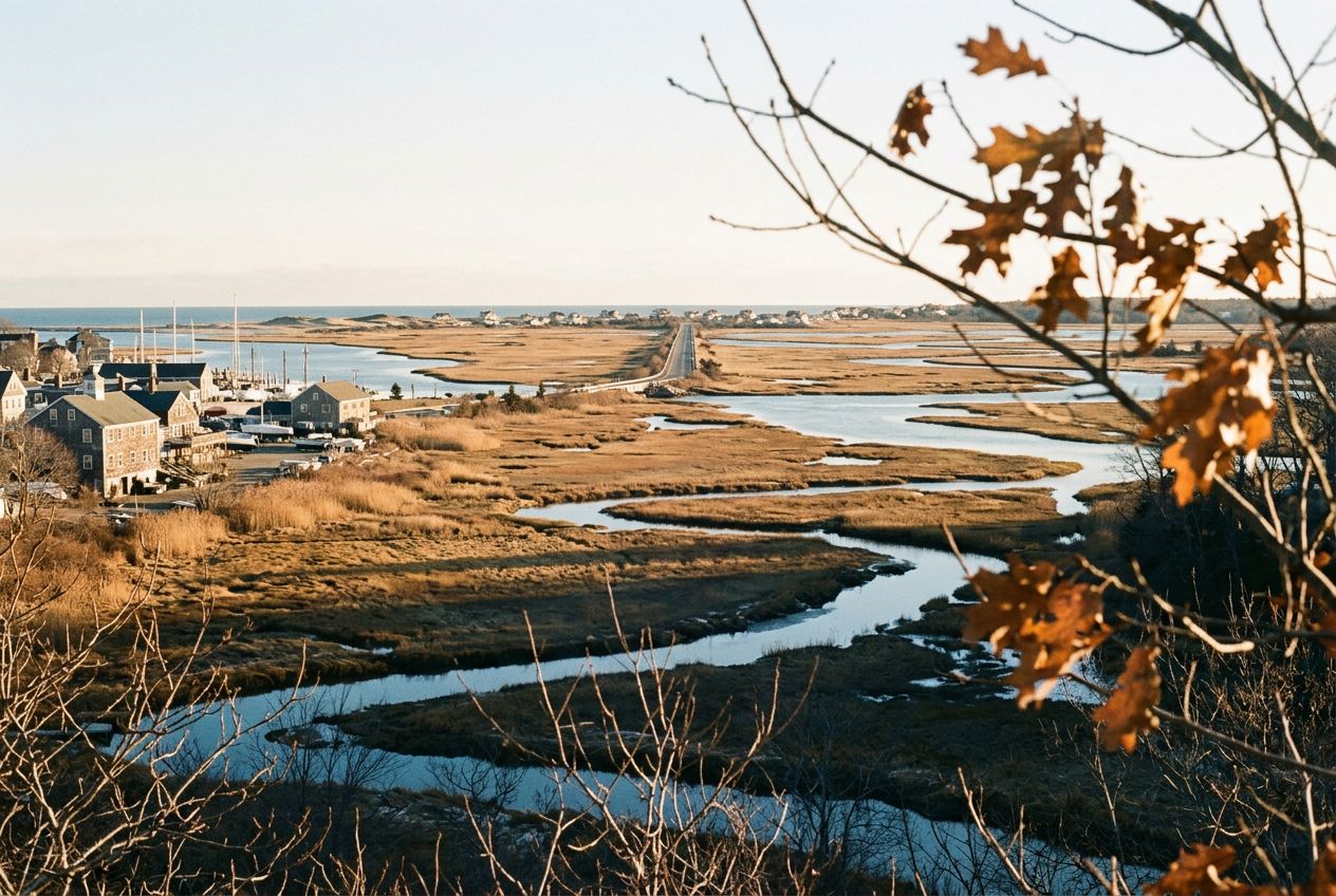
Plum IslandAbout 4.5 miles of running along the water and marshes reaches this island.
코스 들어보기
50,000개의 이야기가 기다리고 있어요. 하나 재생해 보세요.
코스
지도에서 보기
핀 하나하나가 코스이고, 코스마다 이야기가 가득해요.
 Route Stories
50,000개의 이야기가 기다리고 있어요. 하나 재생해 보세요.
핀 하나하나가 코스이고, 코스마다 이야기가 가득해요.




 90개 언어




















Here we have a coastal town with good running: about 4.5 miles along the water and marshes out to Plum Island, the Clipper City Rail Trail, and Maudslay State Park, with trails past 19th century gardens, meadows, and tall pines.
Newburyport에서 출발하는 7.4 km 편도 걷거나, 달리거나, 자전거를 타기에 코스, 오르막 6 m.