



















Route anhören

50.000 Geschichten warten darauf, erzählt zu werden. Hör in eine rein.

Routen

Run the North Shore route to Plum Island's open space., Newburyport, Massachusetts

Run the North Shore route to Plum Island's open space.

90 Sprachen
Tippen und Hörproben anhören
Geeignet fürWandernLaufenRadfahren
In der StadtAuf dem LandFlach und leicht3 Orte am Weg

Faszinierende Geschichten für unterwegs.

Tippen und Hörproben anhören

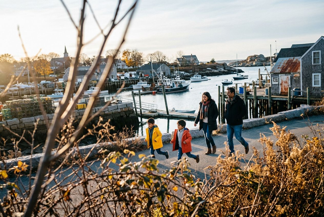
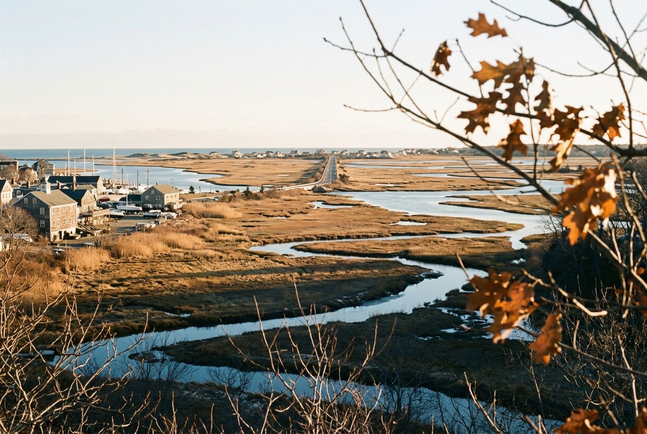
Here we have a coastal town with good running: about 4.5 miles along the water and marshes out to Plum Island, the Clipper City Rail Trail, and Maudslay State Park, with trails past 19th century gardens, meadows, and tall pines.

Unterwegs

1
Plum IslandAbout 4.5 miles of running along the water and marshes reaches this island.
2
Maudslay State ParkTrails past 19th century gardens, rolling meadows, and towering pines.
3
Clipper City Rail TrailA rail trail offered as another running option in Newburyport.

Die Route

Strecke7.4 km
Wandern≈ 1 Std. 39
Laufen≈ 45 Min.
Anstieg↑ 6 m
VerlaufStreckenweg

Eine 7.4 km lange Strecke von Newburyport zum Wandern, Laufen oder Radfahren, mit 6 m Anstieg, einfach hin.

Höhenprofil↑ 6 m insgesamt

Bevor du losgehst

StartHarborwalk, Newburyport, Boston, 01950Start in Maps öffnen →
ZielAnderer Ort als der Start: siehe Karte
Geschichten auf
Kostenlos mit 5 Leuten teilen