50,000 stories are waiting to be told. Press play on one.
Routes
On the map
Every pin is a route, and every route is full of stories.
Whitstable Harbour to Tankerton Slopes
90 languages
Tap to hear previews
Suitable forWalkingRunning
Dog friendlyBy the seaFlat and easy5 places along the way
Amazing stories as you explore.
Tap to hear previews
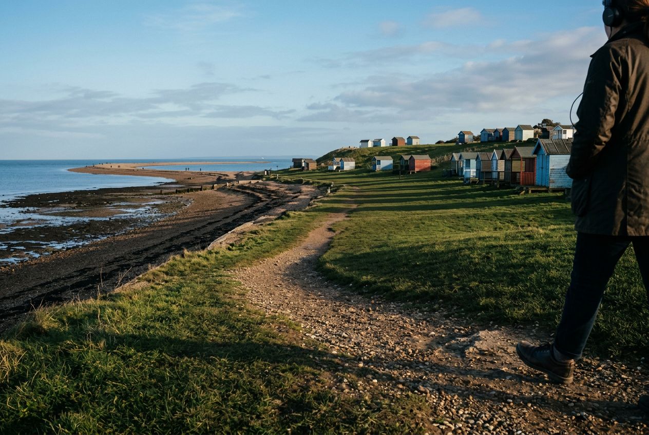
From Whitstable's working oyster harbour — source of the town's prized native oysters since Roman times — the path follows the shingle shore east to Tankerton's sweeping grassy slopes, with expansive views across the Thames Estuary towards Essex. The star feature is 'The Street', a half-mile shingle spit that rises from the sea at low tide and can be walked out into open water.
Along the way
1
Whitstable HarbourA working fishing harbour famous for its native oysters, with colourful boats, fish stalls and the Royal Native Oyster Stores gallery on the waterfront.
2
Long RockA rocky foreshore feature below the seawall where fossil hunters often search the exposed chalk at low tide.
3
The StreetA half-mile shingle spit on clay bank that emerges at low tide, offering a magical walk out into the Thames Estuary — currents are strong, so watch the tide carefully.
4
Tankerton SlopesWide grassy terraces dropping to the shingle beach with far-reaching views across to Essex — perfect for picnics and popular with kite-flyers.
5
Tankerton Beach HutsA famous row of colourful huts lining the shore since the Edwardian era, now among the most photographed in Kent.
The route
Distance5.7 km
Walking≈ 1 h 19
Running≈ 36 min
Climb↑ 31 m
RouteCircular
A 5.7 km circular route from Whitstable to walk or run, with 31 m of climbing.
 Route