1Central ParkBegin your run at the heart of Boulder, where the vibrant Central Park meets the tranquil Boulder Creek Path, setting the stage for a scenic escape.
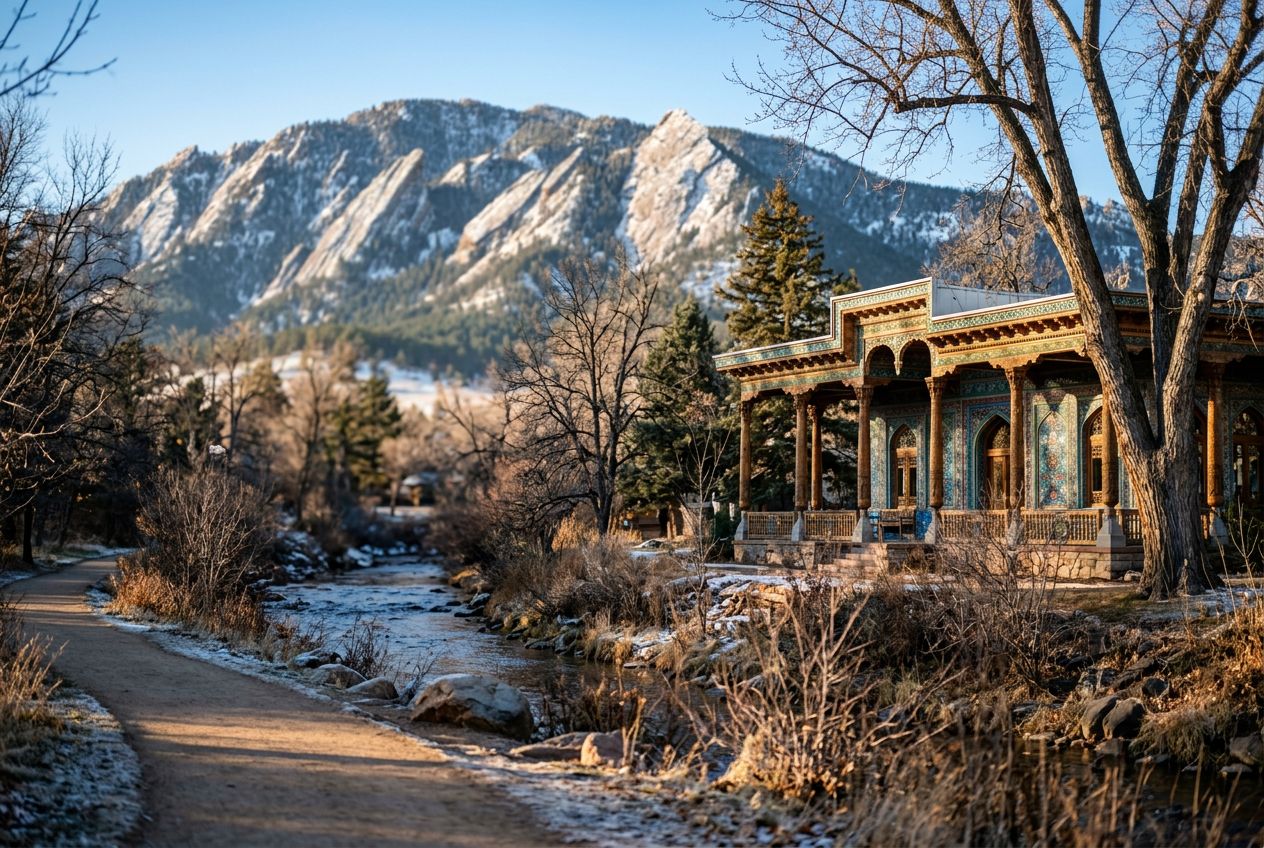
2Boulder Creek Path (Westbound Gateway)Enter the iconic Boulder Creek Path, a car-free haven that winds through the city, offering a smooth surface for an uninterrupted run.
3Eben G. Fine ParkPass by Eben G.
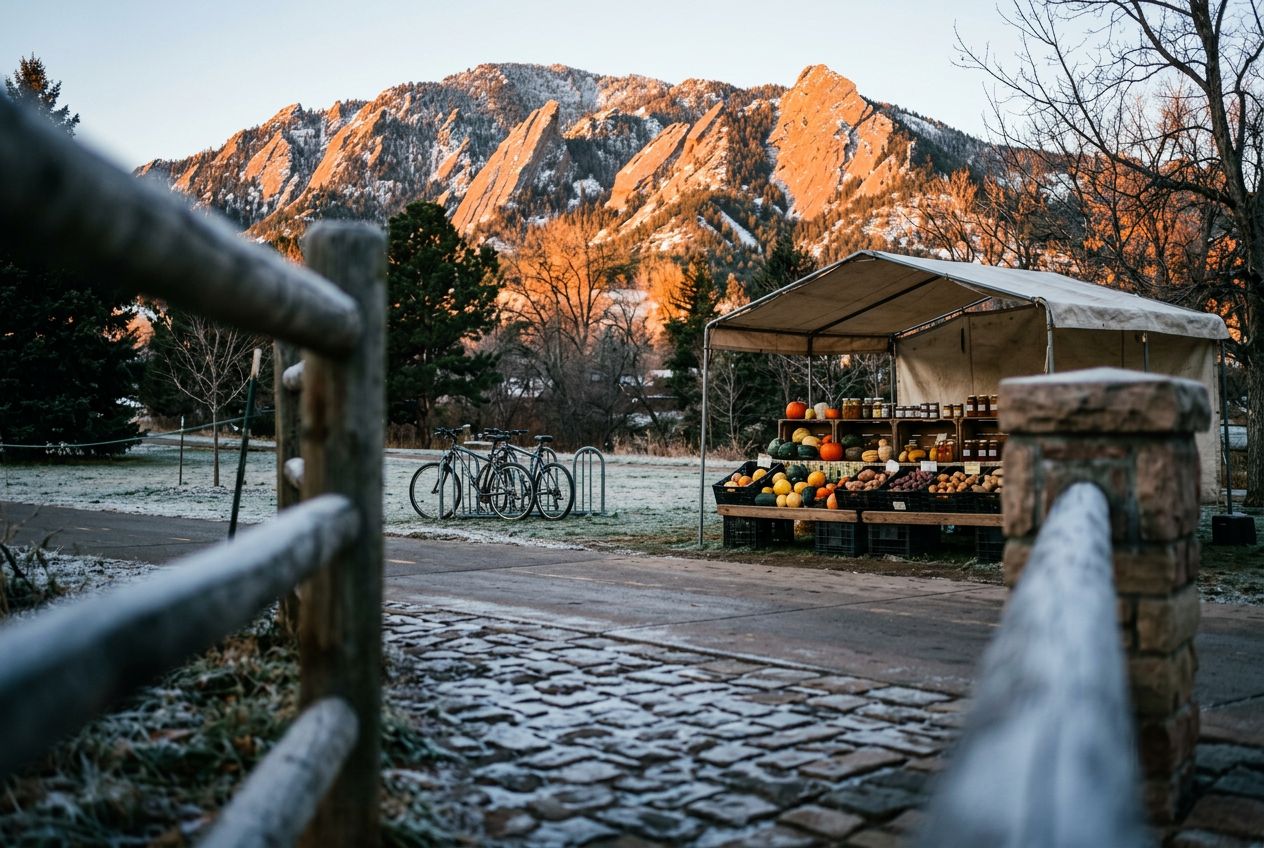
4Flatirons Viewpoint (along Boulder Creek Path)Experience a truly magnificent vista as the majestic Flatirons come into full view, towering above the landscape and providing an inspiring backdrop for your ru
5Eben G. Fine Park (Return leg)Re-encounter the serene Eben G.
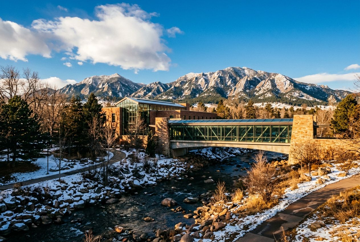
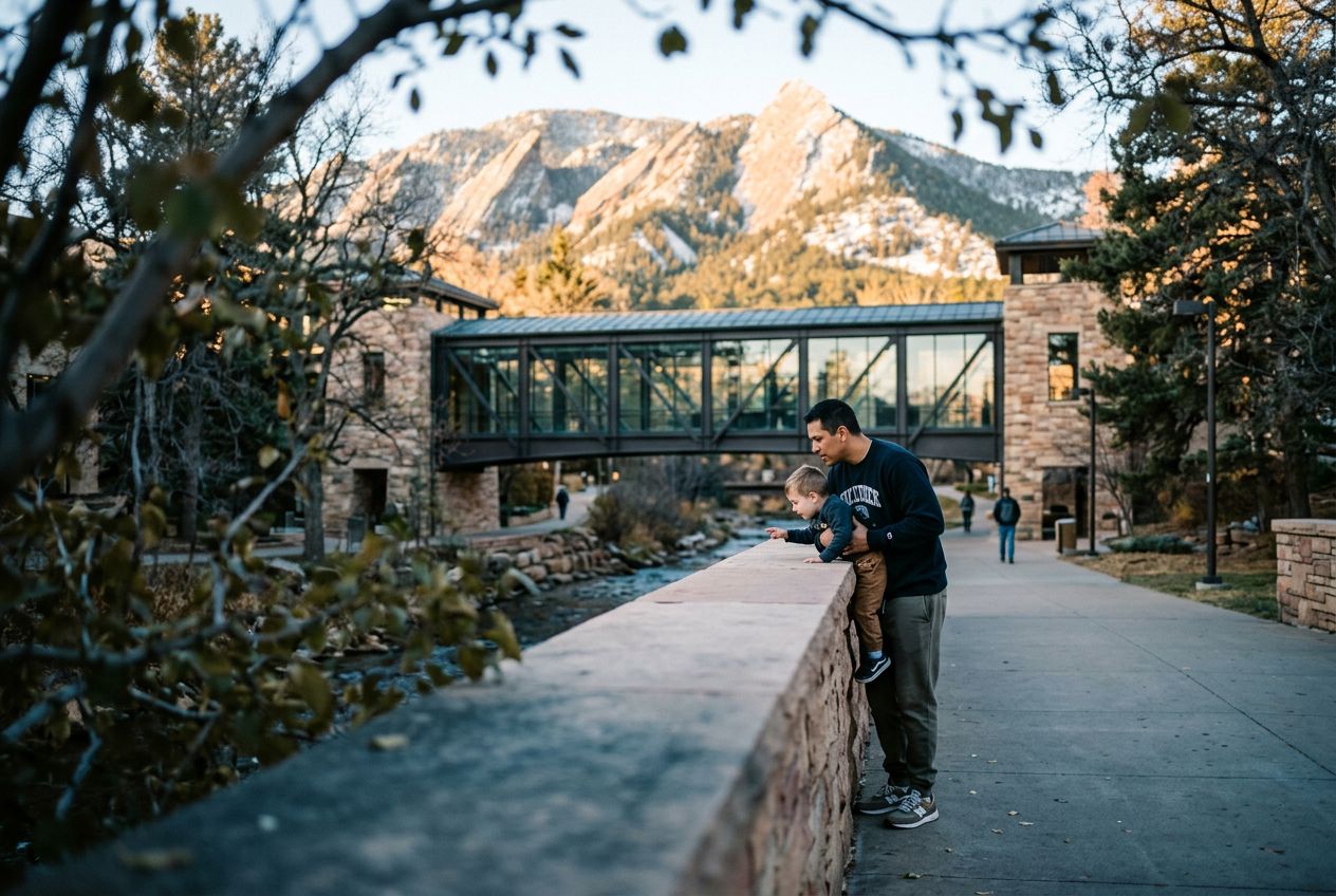
6Boulder Public Library (along Creek Path)Run past the Boulder Public Library, nestled beside the creek, a testament to the city's blend of intellectual pursuits and natural harmony.
 Route