ルートを聴く

5万の物語が待っています。ひとつ再生してみましょう。

ルート

Creek to Flatirons Glide, Boulder, Colorado

Creek to Flatirons Glide

90の言語
タップしてプレビューを聴く
向いている人ウォーキングランニングサイクリング
川沿い平坦でらくらく道中の見どころ6か所

探検しながら、驚きのストーリーを。

タップしてプレビューを聴く

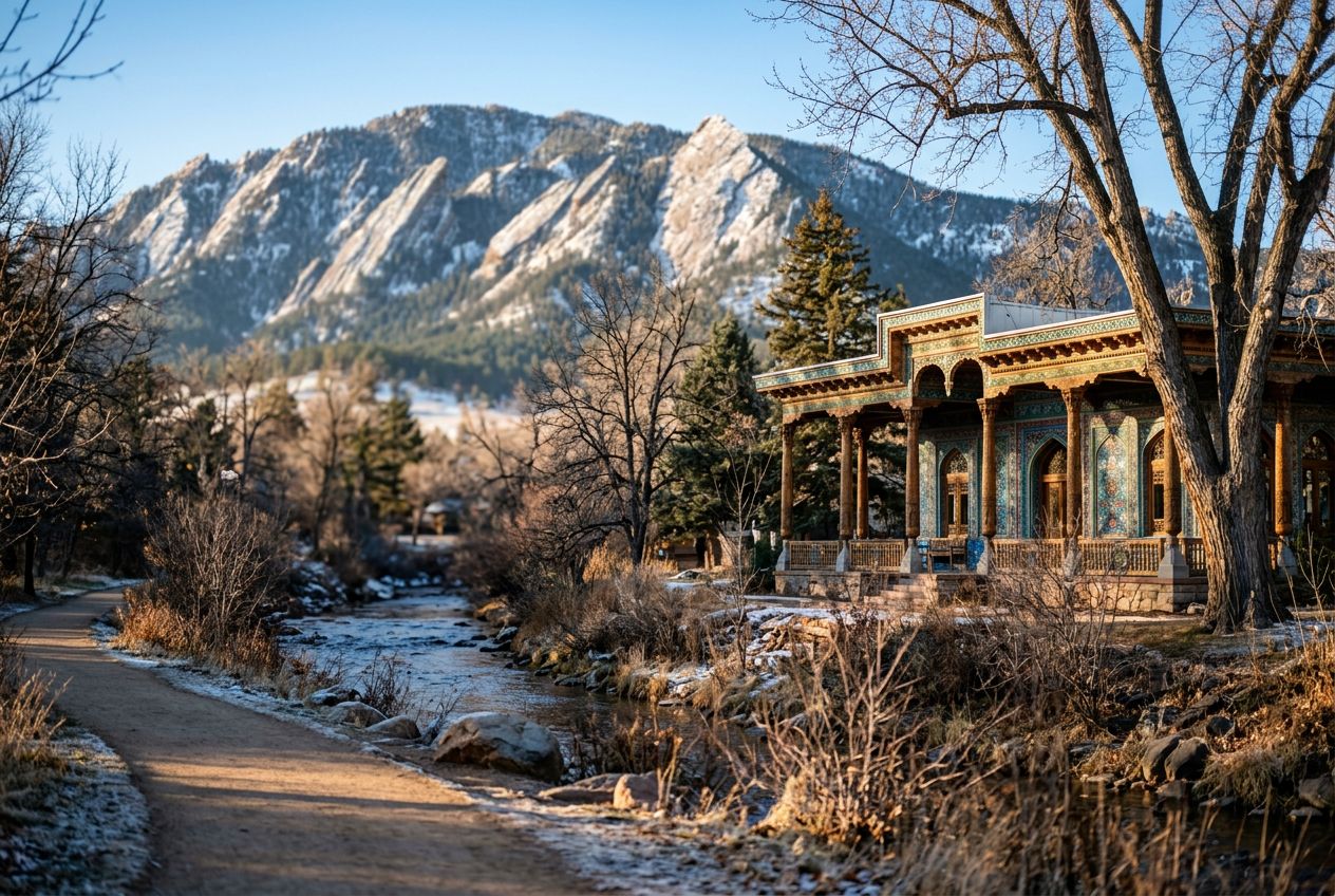
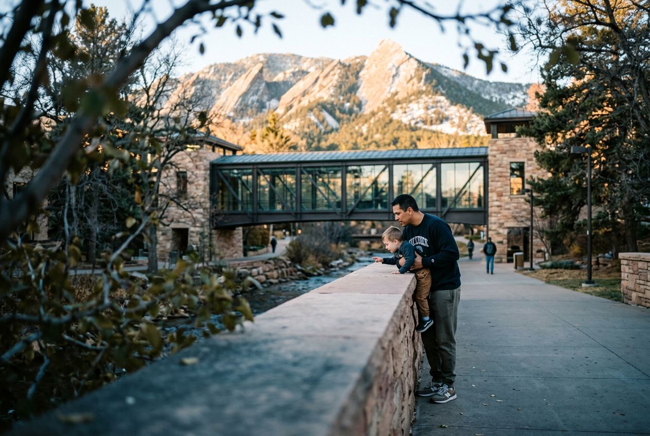
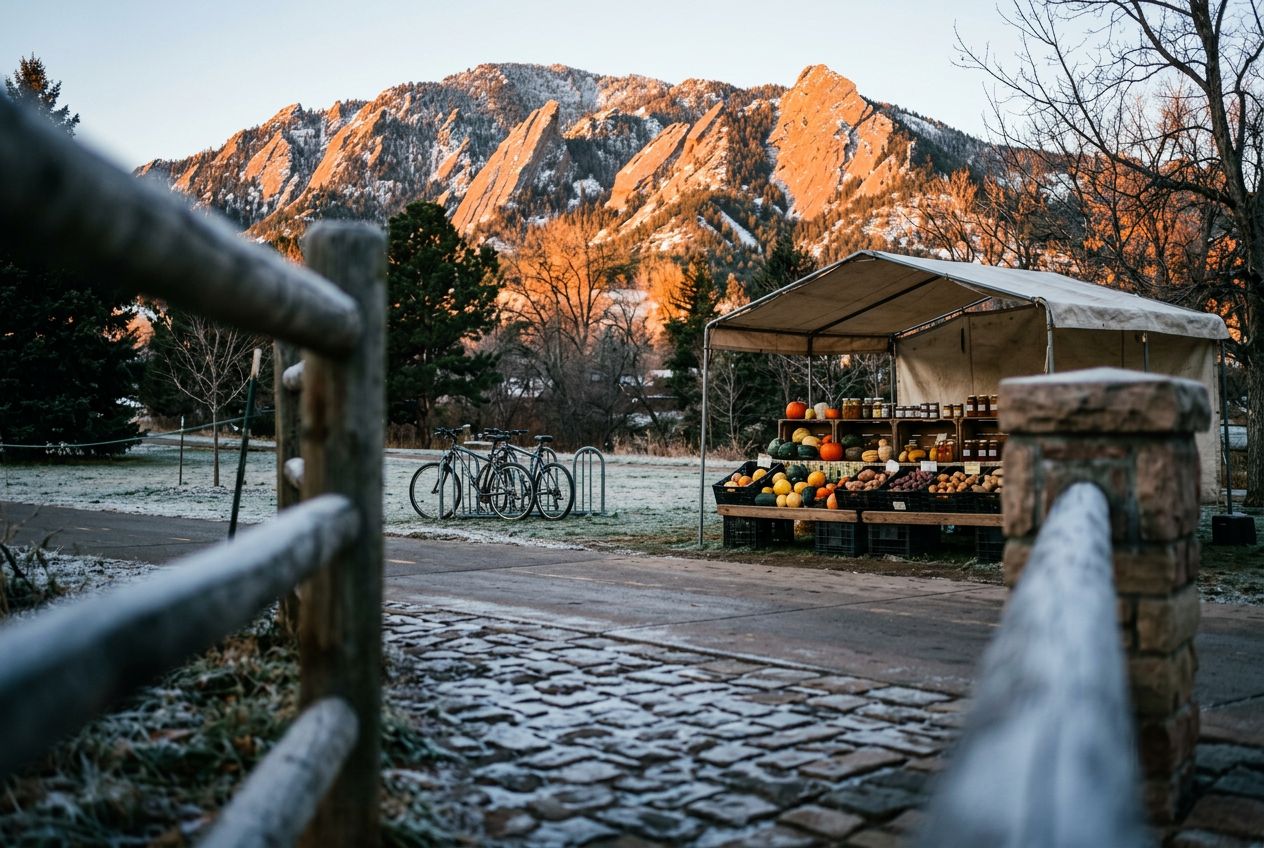
This is a relaxed run along the Boulder Creek Path past calm water and green banks, with the Flatirons rising in view.

道中の見どころ

1
Central ParkBegin your run at the heart of Boulder, where the vibrant Central Park meets the tranquil Boulder Creek Path, setting the stage for a scenic escape.
2
Boulder Creek Path (Westbound Gateway)Enter the iconic Boulder Creek Path, a car-free haven that winds through the city, offering a smooth surface for an uninterrupted run.
3
Eben G. Fine ParkPass by Eben G.
4
Flatirons Viewpoint (along Boulder Creek Path)Experience a truly magnificent vista as the majestic Flatirons come into full view, towering above the landscape and providing an inspiring backdrop for your ru
5
Eben G. Fine Park (Return leg)Re-encounter the serene Eben G.
6
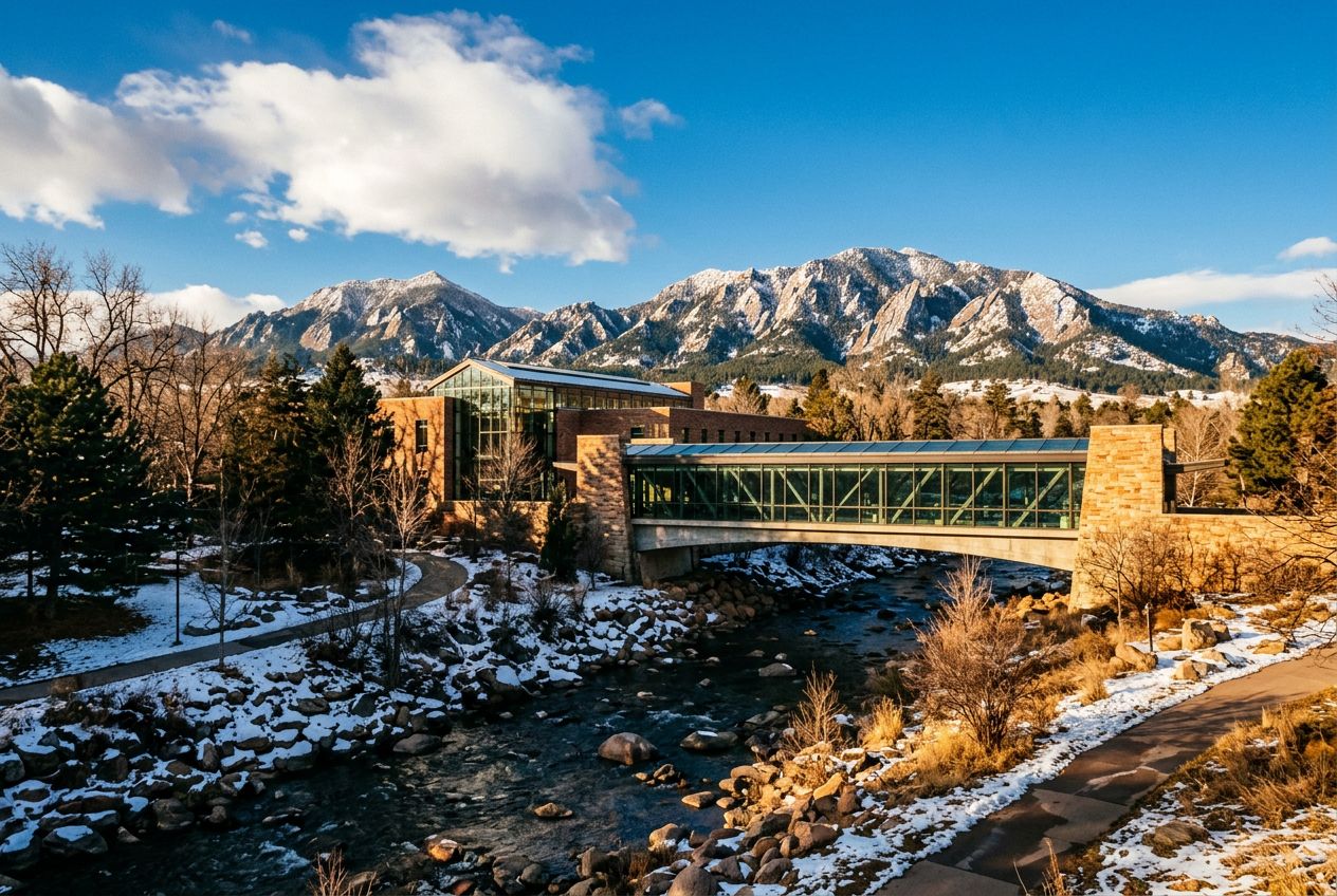
Boulder Public Library (along Creek Path)Run past the Boulder Public Library, nestled beside the creek, a testament to the city's blend of intellectual pursuits and natural harmony.

ルート

距離3.7 km
ウォーキング≈ 52分
ランニング≈ 24分
登り↑ 26 m
ルート周回

Boulderから歩き、走り、自転車で、周回ルートです。全長3.7 km、登り26 m。
高低差合計 ↑ 26 m

出かける前に

スタートCentral Park, 1238 Canyon Blvd, Boulder, CO 80302スタート地点を地図で開く →
ゴールスタート地点に戻ります
ストーリーの言語
5人まで無料でシェアできます