Écouter un parcours

50 000 histoires n'attendent que toi. Lance-en une.

Parcours

Creek to Flatirons Glide, Boulder, Colorado

Creek to Flatirons Glide

90 langues
Touchez pour écouter des extraits
Convient pourMarcheCourse à piedVélo
Au bord de l'eauPlat et facile6 lieux en chemin

Des histoires étonnantes en explorant.

Touchez pour écouter des extraits

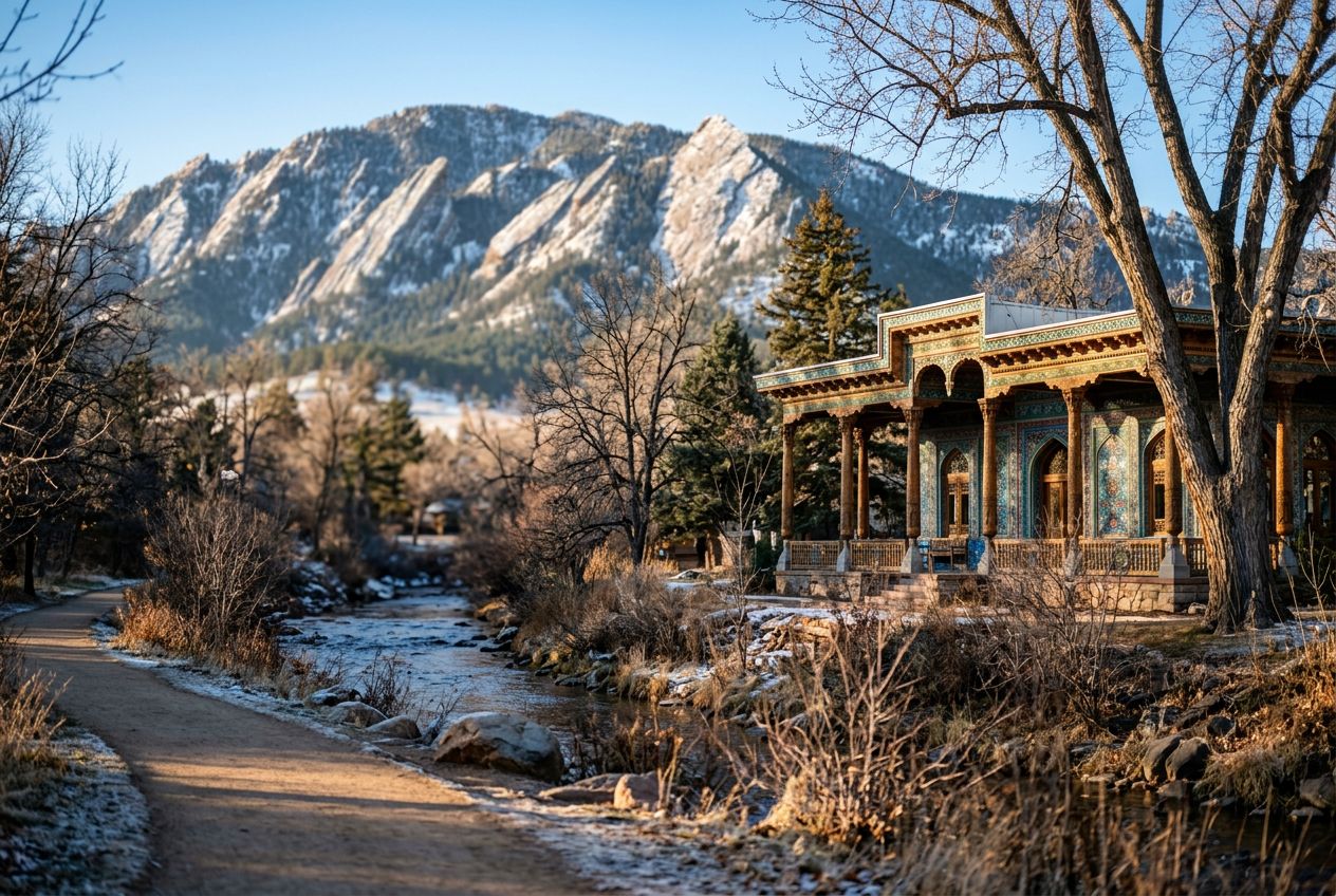
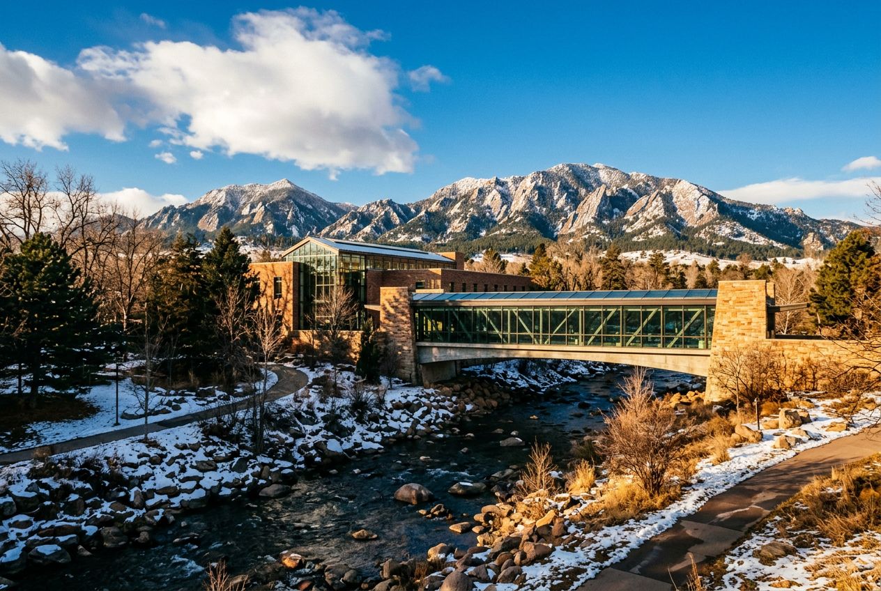
This is a relaxed run along the Boulder Creek Path past calm water and green banks, with the Flatirons rising in view.

En chemin

1
Central ParkBegin your run at the heart of Boulder, where the vibrant Central Park meets the tranquil Boulder Creek Path, setting the stage for a scenic escape.
2
Boulder Creek Path (Westbound Gateway)Enter the iconic Boulder Creek Path, a car-free haven that winds through the city, offering a smooth surface for an uninterrupted run.
3
Eben G. Fine ParkPass by Eben G.
4
Flatirons Viewpoint (along Boulder Creek Path)Experience a truly magnificent vista as the majestic Flatirons come into full view, towering above the landscape and providing an inspiring backdrop for your ru
5
Eben G. Fine Park (Return leg)Re-encounter the serene Eben G.
6
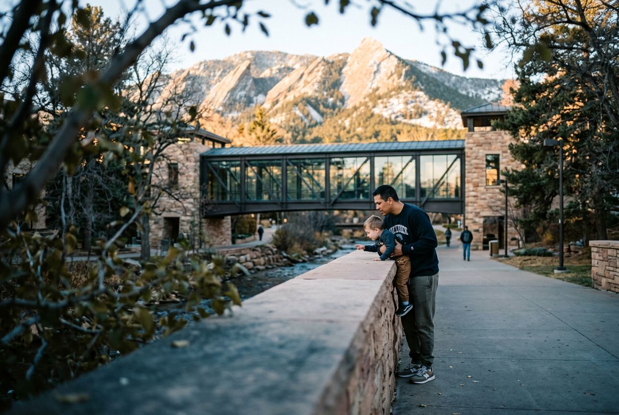
Boulder Public Library (along Creek Path)Run past the Boulder Public Library, nestled beside the creek, a testament to the city's blend of intellectual pursuits and natural harmony.

L'itinéraire

Distance3.7 km
Marche≈ 52 min
Course à pied≈ 24 min
Montée↑ 26 m
ParcoursBoucle

Un itinéraire circulaire de 3.7 km au départ de Boulder pour marcher, courir ou faire du vélo, avec 26 m de dénivelé positif.

Dénivelé↑ 26 m au total

Avant de partir

DépartCentral Park, 1238 Canyon Blvd, Boulder, CO 80302Ouvrir le départ dans Plans →
ArrivéeRetour au point de départ
Histoires racontées en
Partage-le gratuitement avec 5 personnes