



















Route anhören

50.000 Geschichten warten darauf, erzählt zu werden. Hör in eine rein.

Routen

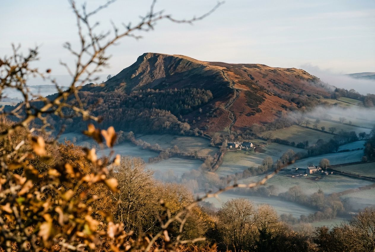
Walk Ysgyryd Fawr, the Skirrid, near Abergavenny., Monmouthshire

Walk Ysgyryd Fawr, the Skirrid, near Abergavenny.

90 Sprachen
Tippen und Hörproben anhören
Geeignet fürWandernLaufenRadfahren
2 Orte am Weg

Faszinierende Geschichten für unterwegs.

Tippen und Hörproben anhören

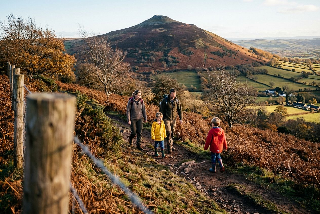
Here is a route to the summit of the Skirrid (Ysgyryd Fawr), a lone hill east of Abergavenny, going up directly and returning through woodland.

Unterwegs

1
The Skirrid (Ysgyryd Fawr)Solitary hill east of Abergavenny, climbed directly to its summit.
2
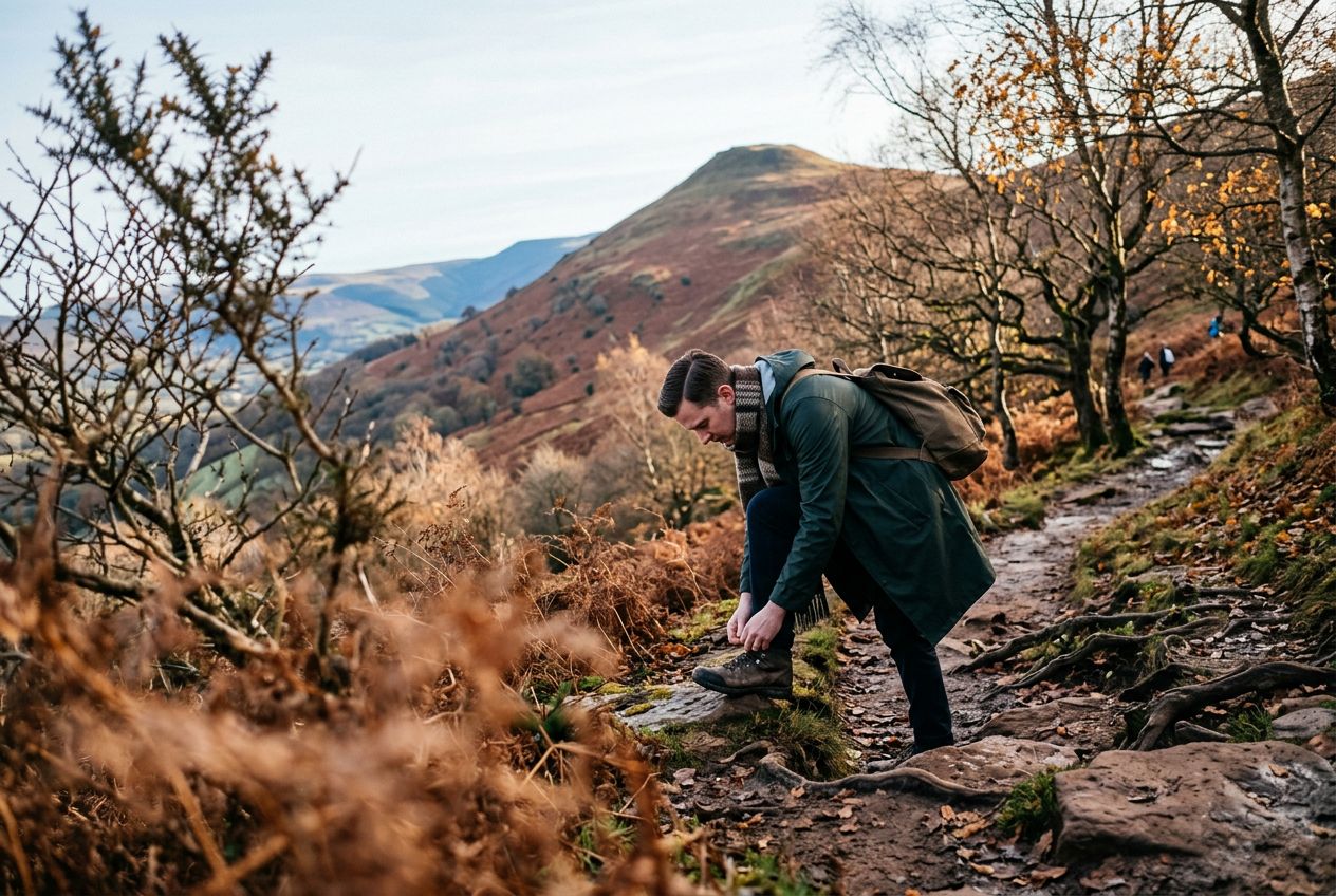
Woodland on the SkirridWoods the route returns through after descending from the summit.

Die Route

Strecke4.9 km
Wandern≈ 1 Std. 35
Laufen≈ 44 Min.
Anstieg↑ 296 m
VerlaufRundweg

Eine 4.9 km lange Rundroute ab Abergavenny zum Wandern, Laufen oder Radfahren, mit 296 m Anstieg.

Höhenprofil↑ 296 m insgesamt

Bevor du losgehst

StartAbergavenny, Monmouthshire, NP7 8APStart in Maps öffnen →
ZielZurück am Start
ParkenThe start is a small car park on the B4521.
Geschichten auf
Kostenlos mit 5 Leuten teilen