



















Écouter un parcours

50 000 histoires n'attendent que toi. Lance-en une.

Parcours

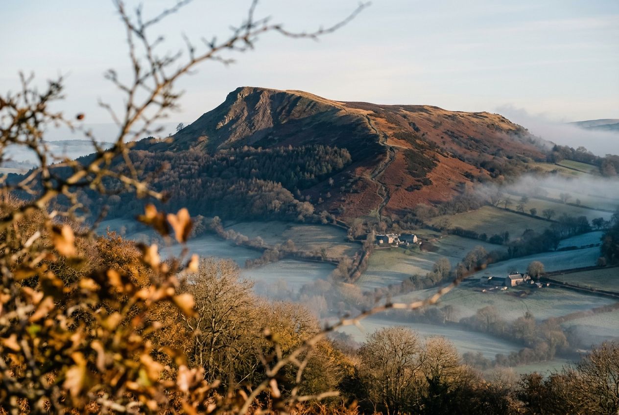
Walk Ysgyryd Fawr, the Skirrid, near Abergavenny., Monmouthshire

Walk Ysgyryd Fawr, the Skirrid, near Abergavenny.

90 langues
Touchez pour écouter des extraits
Convient pourMarcheCourse à piedVélo
2 lieux en chemin

Des histoires étonnantes en explorant.

Touchez pour écouter des extraits

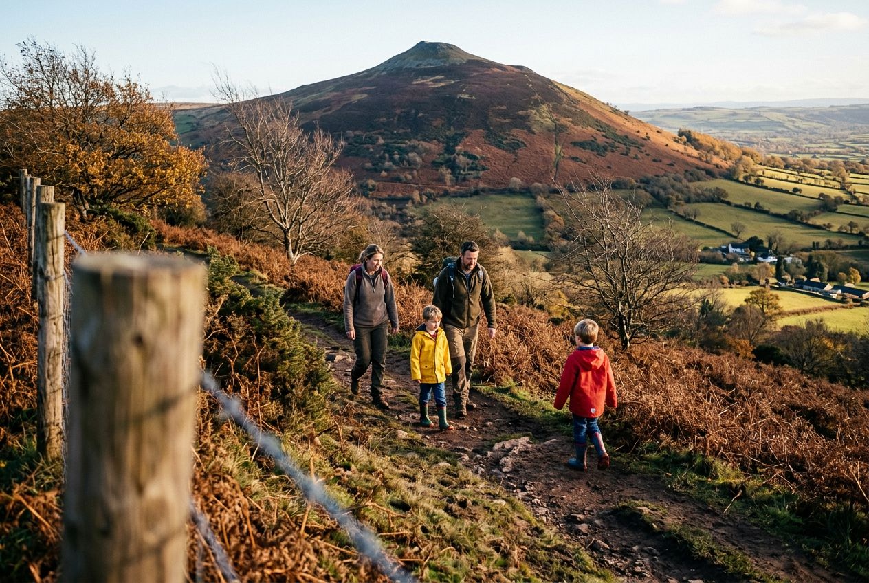
Here is a route to the summit of the Skirrid (Ysgyryd Fawr), a lone hill east of Abergavenny, going up directly and returning through woodland.

En chemin

1
The Skirrid (Ysgyryd Fawr)Solitary hill east of Abergavenny, climbed directly to its summit.
2
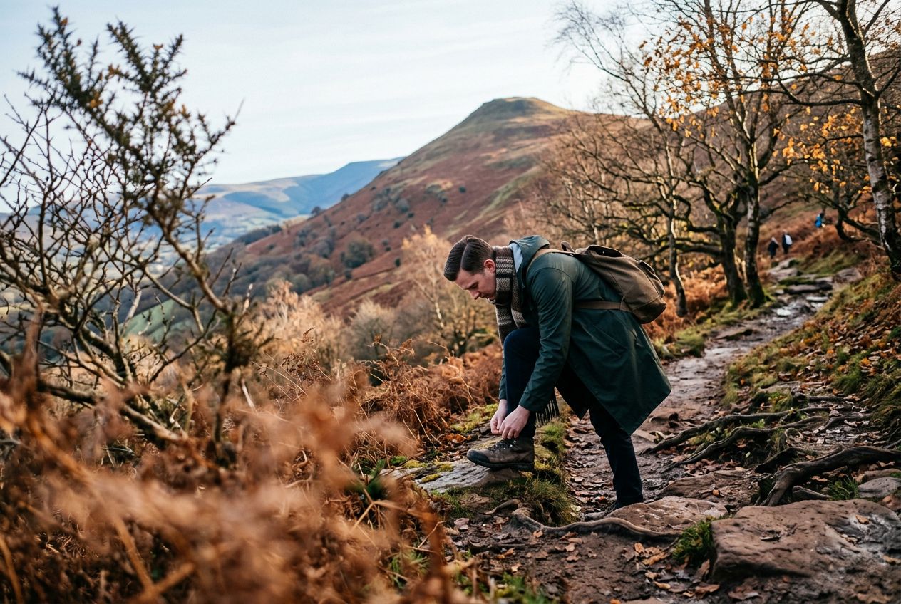
Woodland on the SkirridWoods the route returns through after descending from the summit.

L'itinéraire

Distance4.9 km
Marche≈ 1 h 35
Course à pied≈ 44 min
Montée↑ 296 m
ParcoursBoucle

Un itinéraire circulaire de 4.9 km au départ de Abergavenny pour marcher, courir ou faire du vélo, avec 296 m de dénivelé positif.

Dénivelé↑ 296 m au total

Avant de partir

DépartAbergavenny, Monmouthshire, NP7 8APOuvrir le départ dans Plans →
ArrivéeRetour au point de départ
ParkingThe start is a small car park on the B4521.
Histoires racontées en
Partage-le gratuitement avec 5 personnes