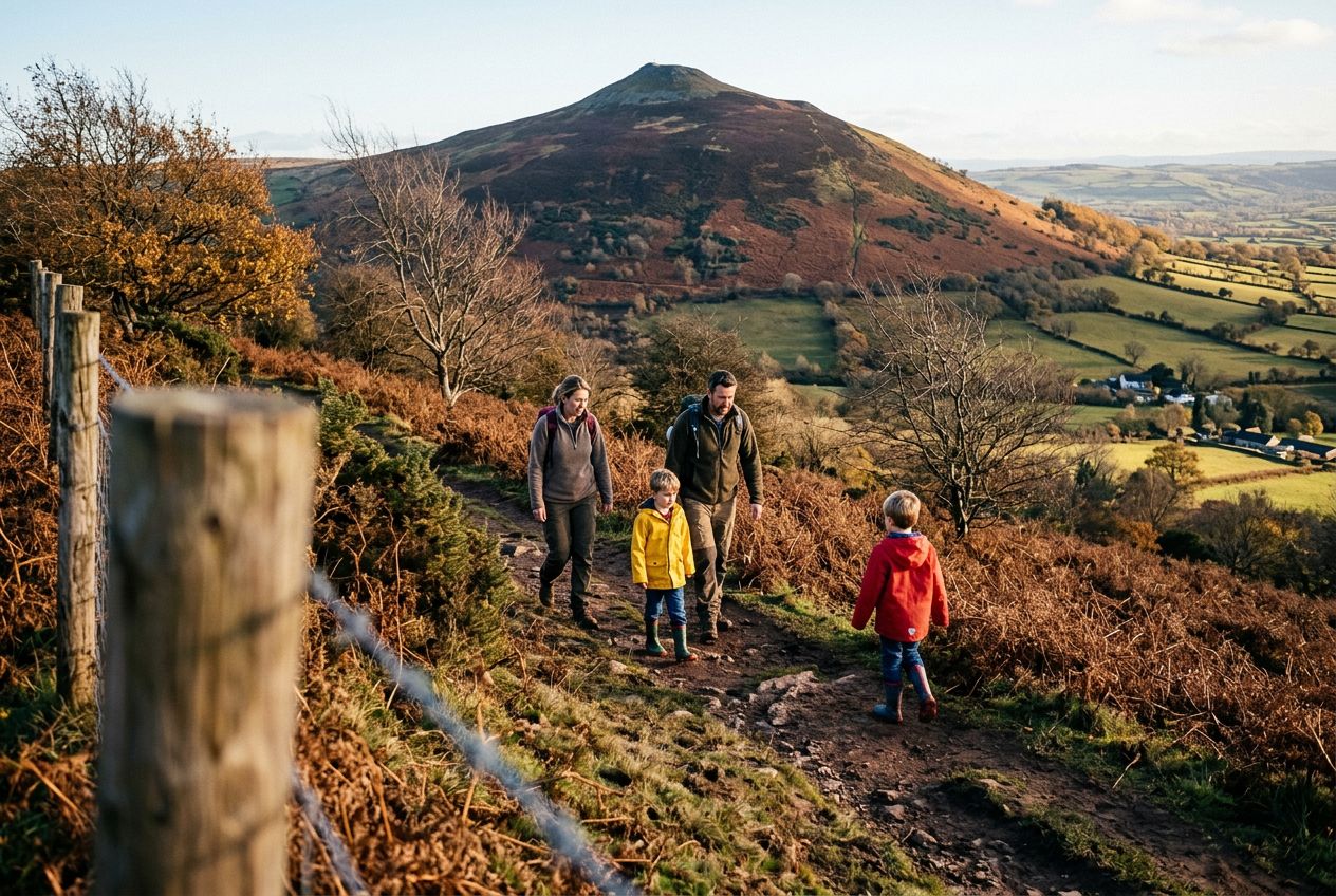
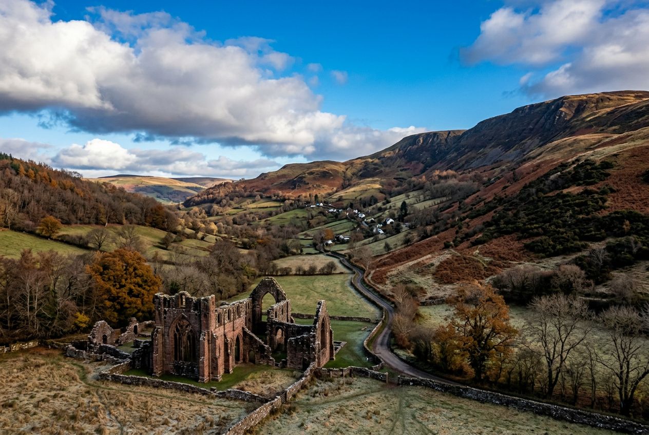
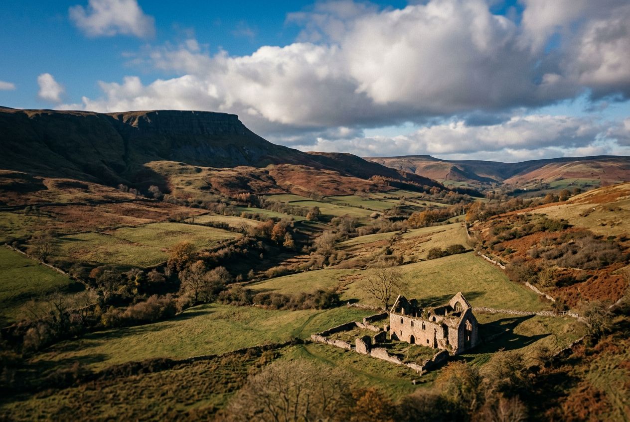
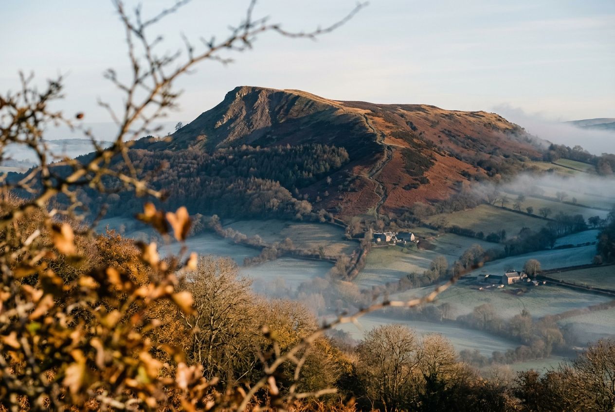
The Skirrid (Ysgyryd Fawr)Solitary hill east of Abergavenny, climbed directly to its summit.
Hear a route
50,000 stories are waiting to be told. Press play on one.
Routes
On the map
Every pin is a route, and every route is full of stories.
 Route Stories
50,000 stories are waiting to be told. Press play on one.
Every pin is a route, and every route is full of stories.




 90 languages




















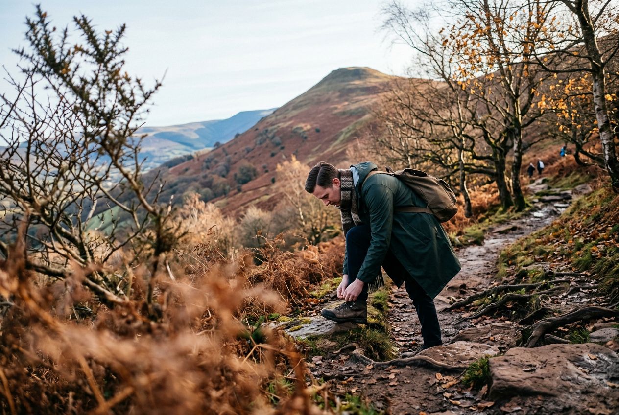
Here is a route to the summit of the Skirrid (Ysgyryd Fawr), a lone hill east of Abergavenny, going up directly and returning through woodland.
A 4.9 km circular route from Abergavenny to walk, run or cycle, with 296 m of climbing.