



















Escucha una ruta

50.000 historias esperan a ser contadas. Dale al play en una.

Rutas

Walk the Turville from Frieth., Buckinghamshire

Walk the Turville from Frieth.

90 idiomas
Toca para escuchar avances
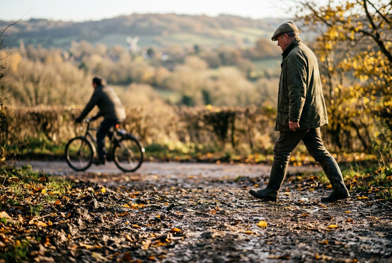
Apta paraSenderismoCorrerCiclismo
Campo3 lugares por el camino

Historias increíbles mientras exploras.

Toca para escuchar avances

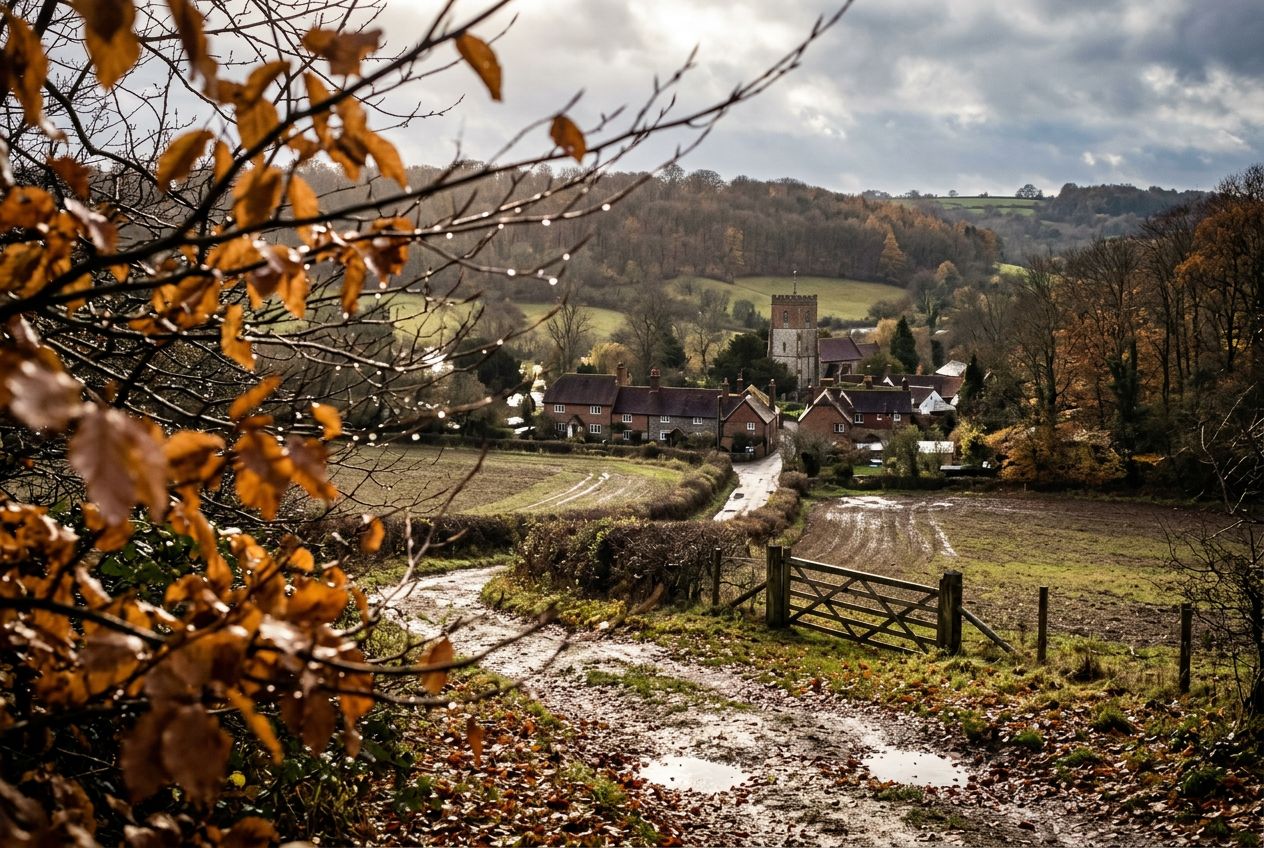
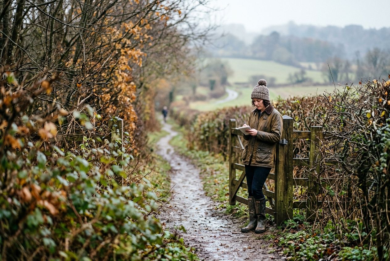
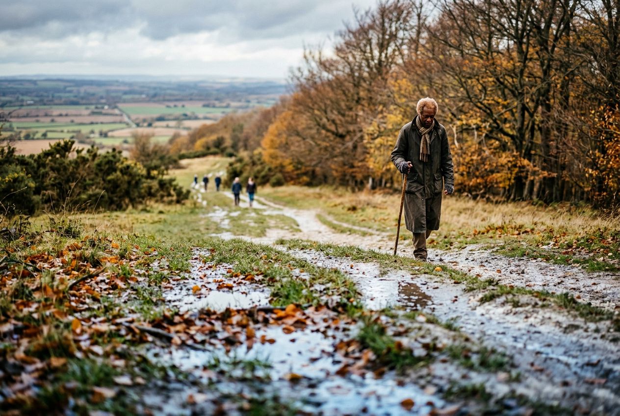
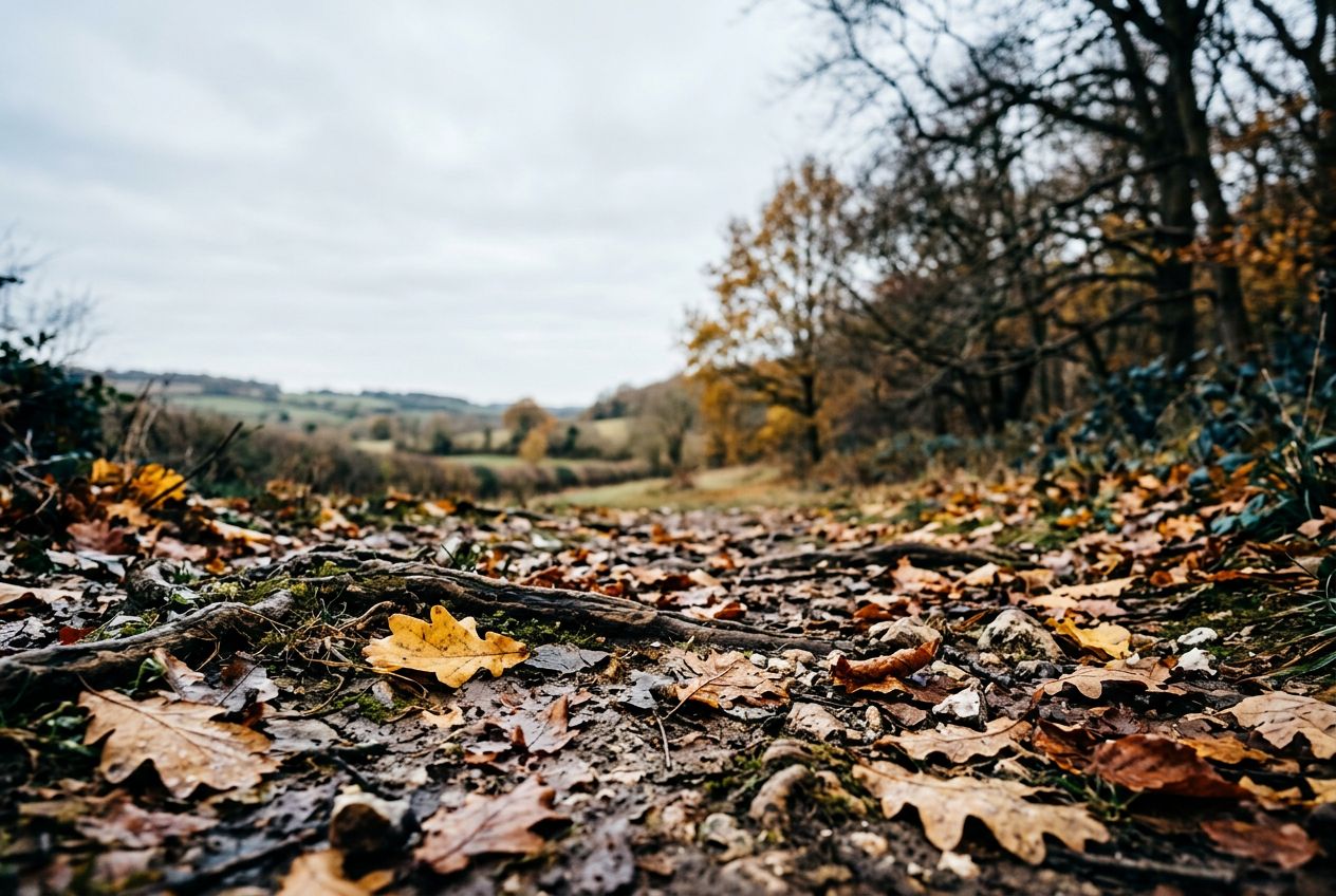
This is a circular Chilterns walk north of Turville toward Cadmore End, through countryside and woodland. Maps and a GPS file are available.

Por el camino

1
TurvilleThe walk heads north of Turville through Chiltern countryside and woodland toward Cadmore End.
2
Cadmore EndThe walk reaches this village on its northward route through the Chiltern landscape.
3
Hanger WoodWoodland the circular route passes through, part of the Chiltern countryside.

La ruta

Distancia6.6 km
Senderismo≈ 1 h 46
Correr≈ 49 min
Subida↑ 183 m
RutaCircular

Una ruta circular de 6.6 km desde Frieth para caminar, correr o pedalear, con 183 m de desnivel.

Desnivel↑ 183 m en total

Antes de salir

SalidaFrieth, Buckinghamshire, RG9 6QLAbrir la salida en Maps →
LlegadaVuelves al punto de salida
AparcamientoThe walk starts from the centre of Turville village where parking is normally available near the village green.
Historias en
Compártela gratis con 5 personas