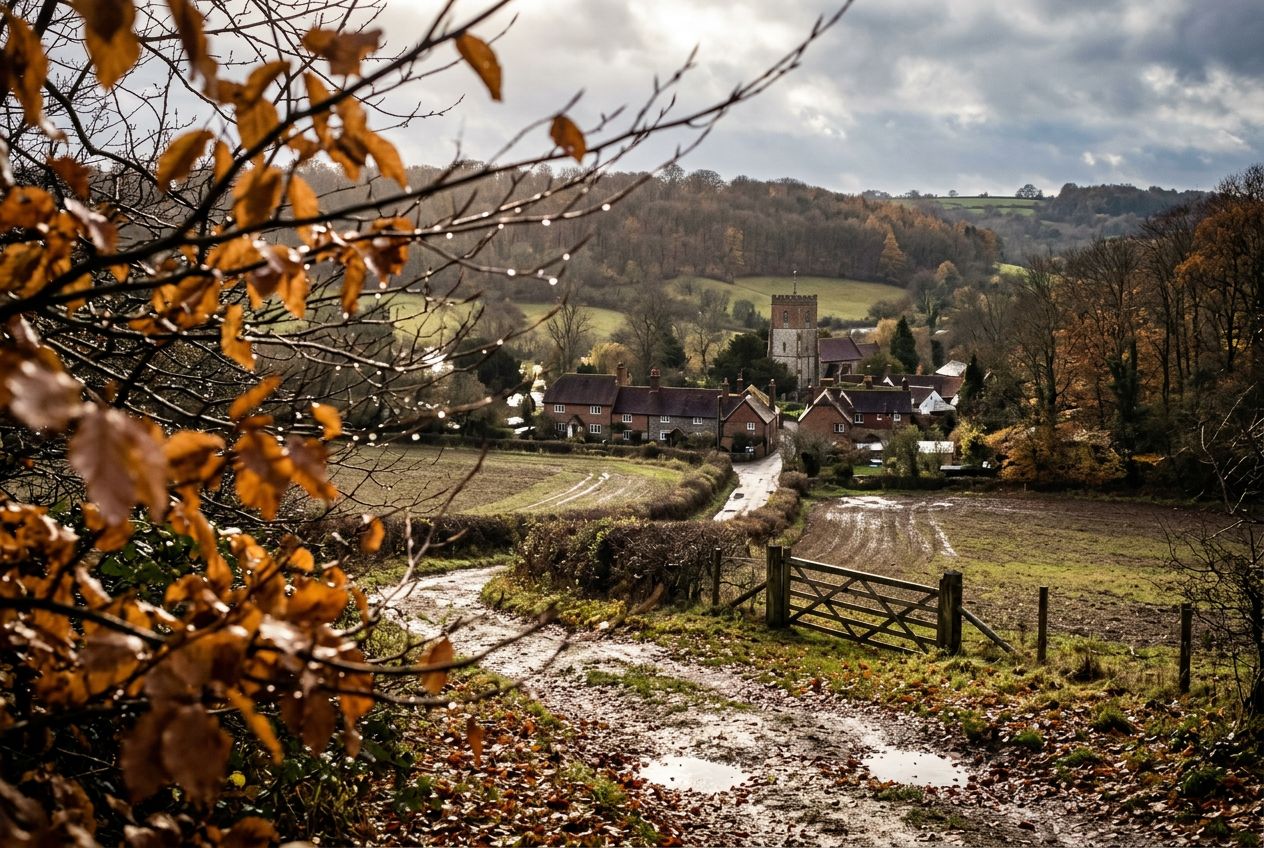
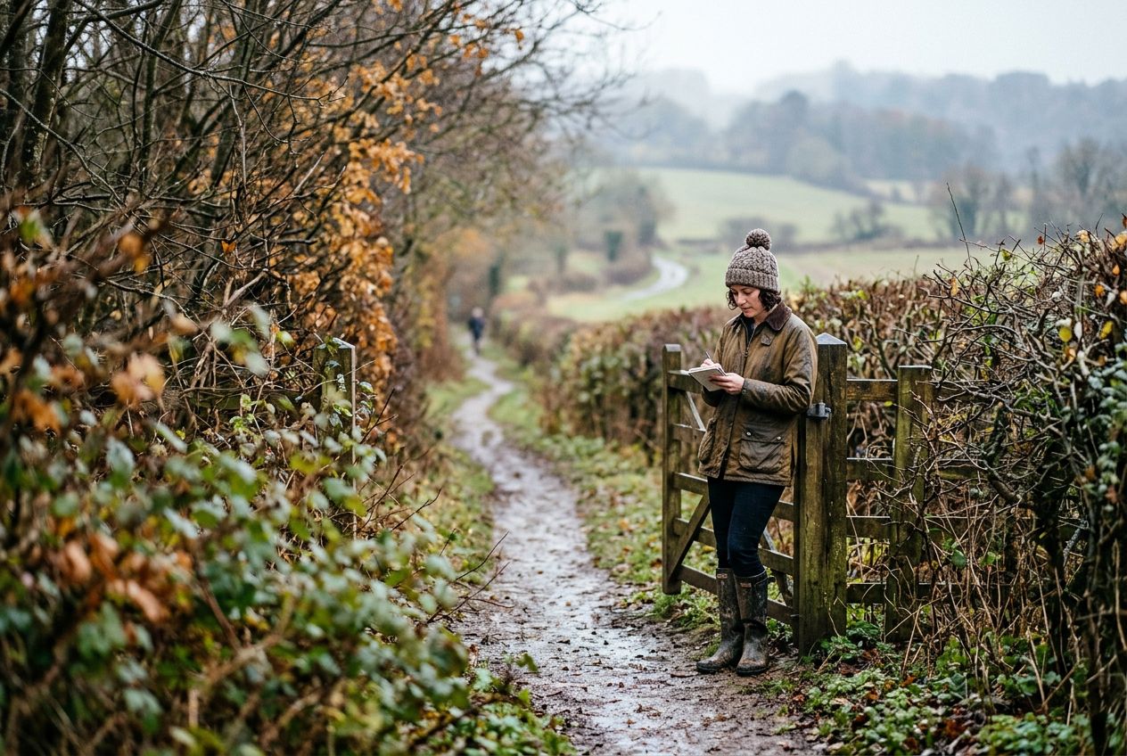
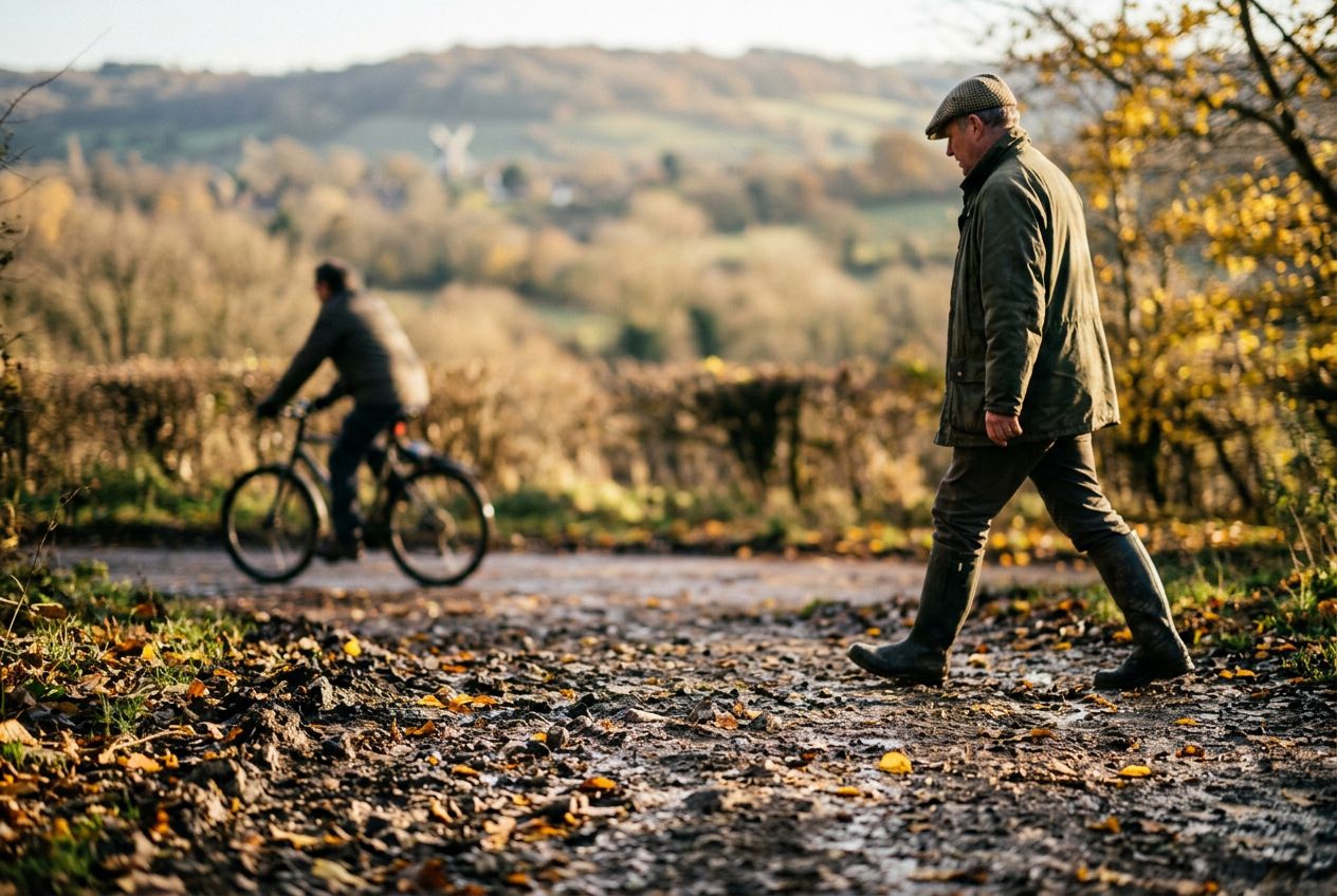
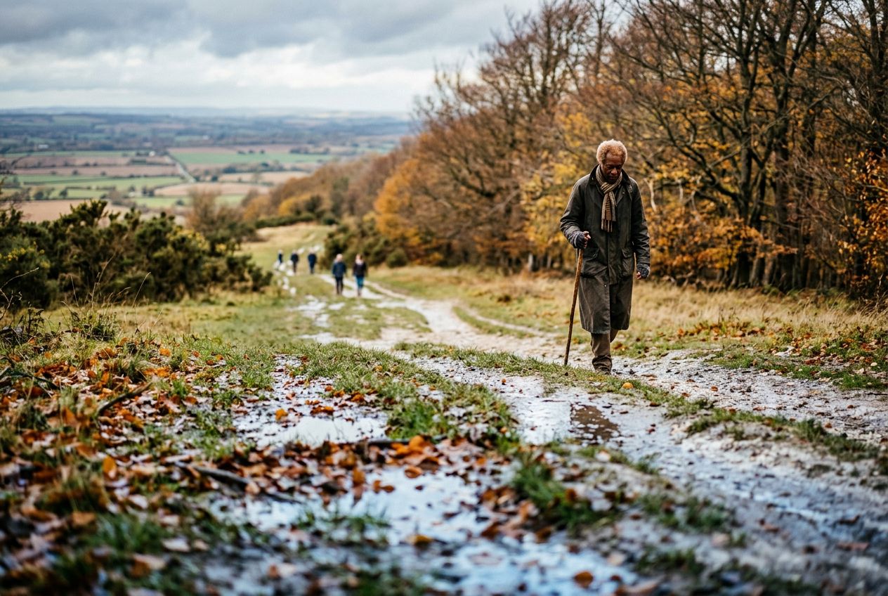
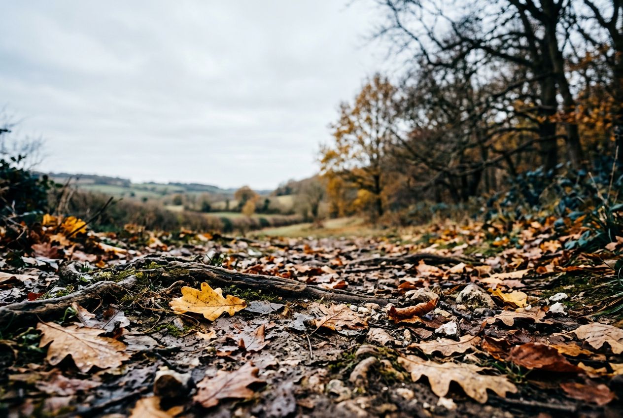
TurvilleThe walk heads north of Turville through Chiltern countryside and woodland toward Cadmore End.
코스 들어보기
50,000개의 이야기가 기다리고 있어요. 하나 재생해 보세요.
코스
지도에서 보기
핀 하나하나가 코스이고, 코스마다 이야기가 가득해요.
 Route Stories
50,000개의 이야기가 기다리고 있어요. 하나 재생해 보세요.
핀 하나하나가 코스이고, 코스마다 이야기가 가득해요.




 90개 언어




















This is a circular Chilterns walk north of Turville toward Cadmore End, through countryside and woodland. Maps and a GPS file are available.
Frieth에서 출발하는 6.6 km 순환 걷거나, 달리거나, 자전거를 타기에 코스, 오르막 183 m.