ルートを聴く

5万の物語が待っています。ひとつ再生してみましょう。

ルート

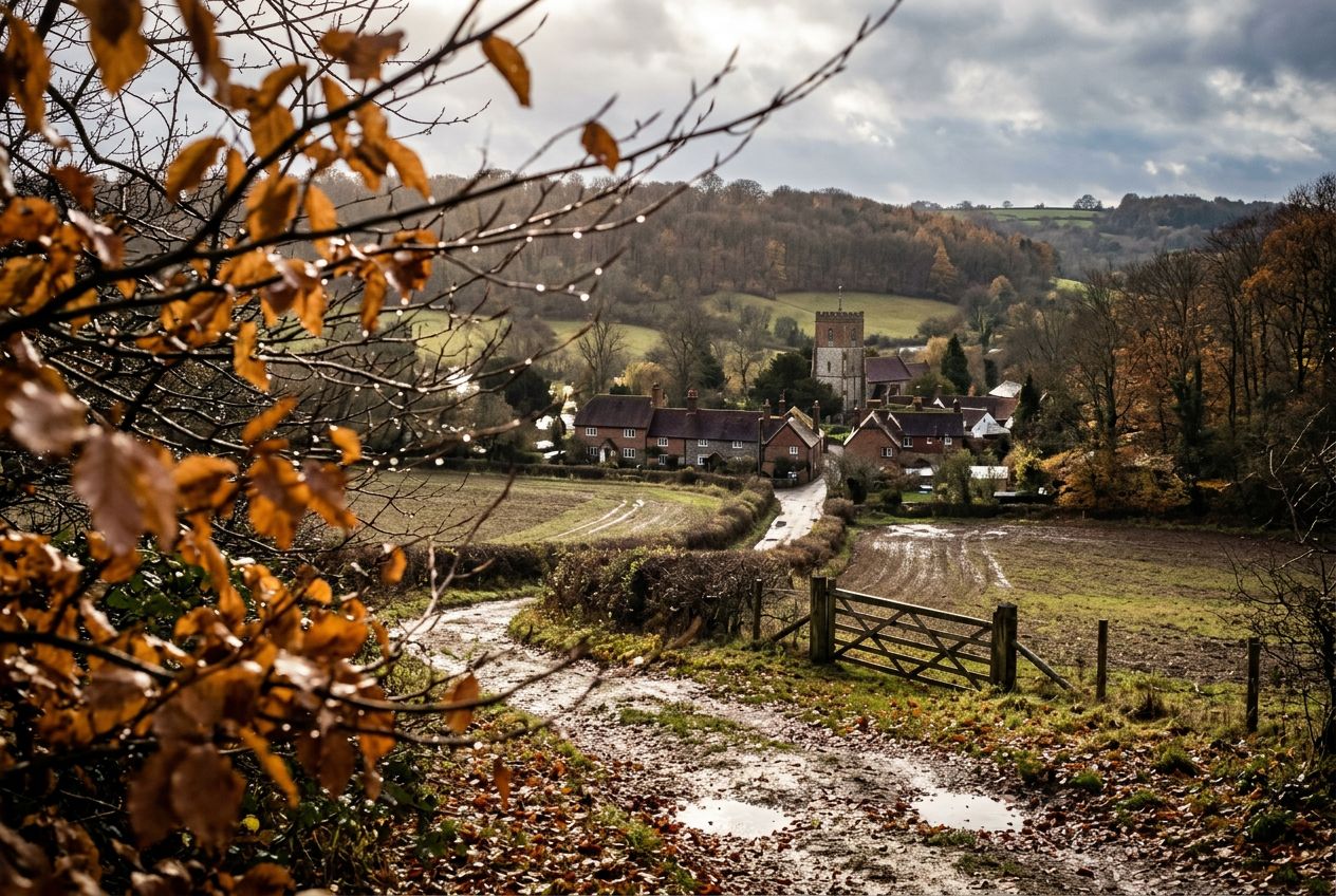
Walk the Turville from Frieth., Buckinghamshire

Walk the Turville from Frieth.

90の言語
タップしてプレビューを聴く
向いている人ウォーキングランニングサイクリング
田園道中の見どころ3か所

探検しながら、驚きのストーリーを。

タップしてプレビューを聴く

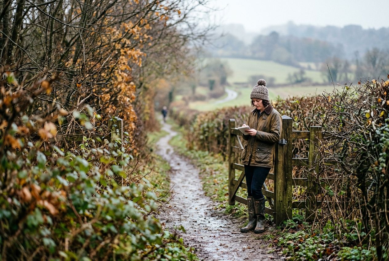
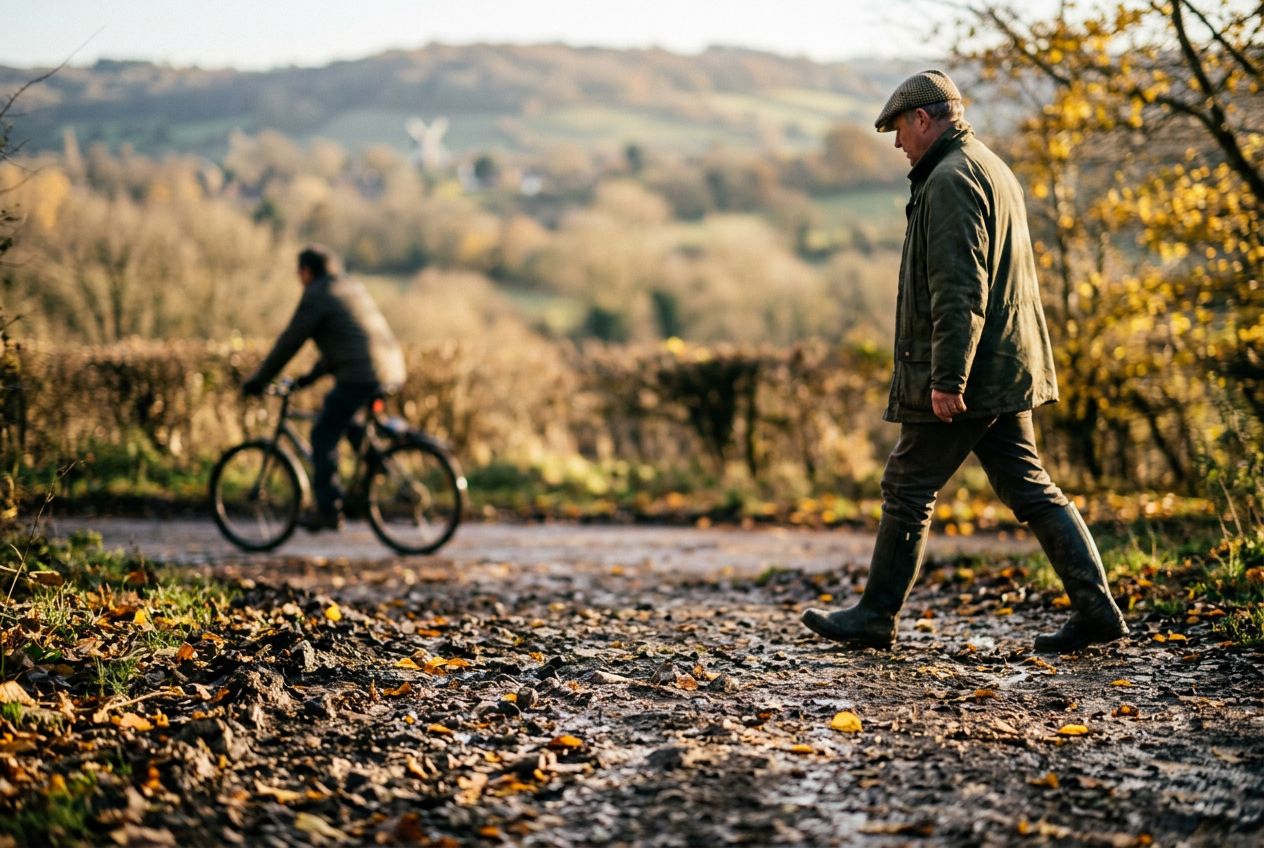
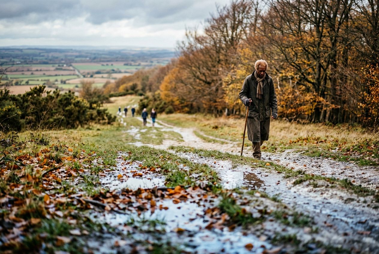
This is a circular Chilterns walk north of Turville toward Cadmore End, through countryside and woodland. Maps and a GPS file are available.

道中の見どころ

1
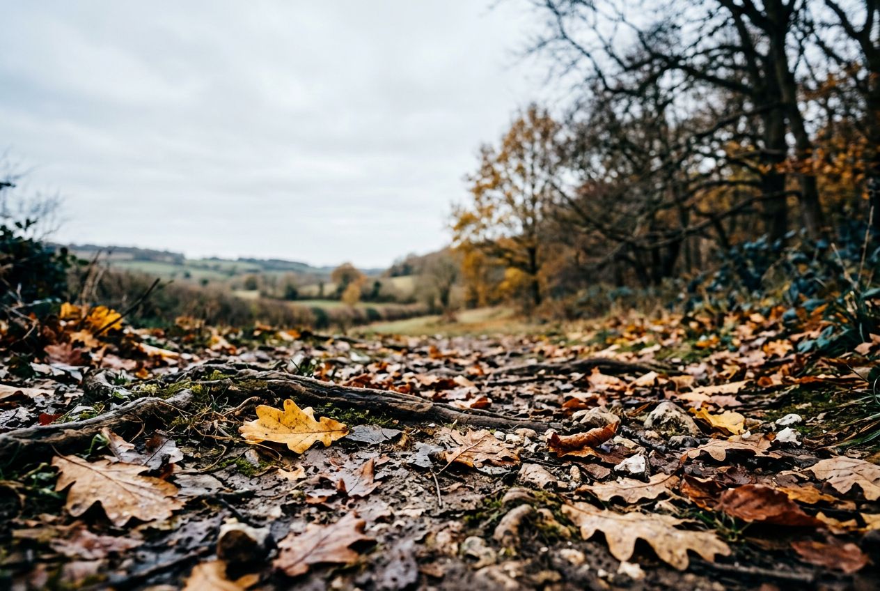
TurvilleThe walk heads north of Turville through Chiltern countryside and woodland toward Cadmore End.
2
Cadmore EndThe walk reaches this village on its northward route through the Chiltern landscape.
3
Hanger WoodWoodland the circular route passes through, part of the Chiltern countryside.

ルート

距離6.6 km
ウォーキング≈ 1時間46分
ランニング≈ 49分
登り↑ 183 m
ルート周回

Friethから歩き、走り、自転車で、周回ルートです。全長6.6 km、登り183 m。
高低差合計 ↑ 183 m

出かける前に

スタートFrieth, Buckinghamshire, RG9 6QLスタート地点を地図で開く →
ゴールスタート地点に戻ります
駐車場The walk starts from the centre of Turville village where parking is normally available near the village green.
ストーリーの言語
5人まで無料でシェアできます