50.000 histórias esperando para ser contadas. Dê play em uma.
Rotas
No mapa
Cada marcador é uma rota, e cada rota é cheia de histórias.
Three Rivers Panorama Run
90 idiomas
Toque para ouvir prévias
Indicada paraCaminhadaCorridaCiclismo
Beira-rioPlana e fácil6 lugares pelo caminho
Histórias incríveis enquanto explora.
Toque para ouvir prévias
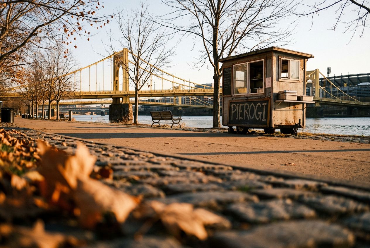
This is a run along Pittsburgh's riverfronts past historic bridges, stadiums, and city skyline views, on wide paths free of cars.
Pelo caminho
1
Point State Park (Confluence Fountain)Begin your run at the iconic confluence of the Allegheny and Monongahela rivers, offering expansive views and a perfect car-free starting point.
2
Three Rivers Heritage Trail (Allegheny Riverfront)Follow this wide, paved trail along the Allegheny River, enjoying uninterrupted views of the downtown skyline and the river's activity, free from vehicle traffi
3
Roberto Clemente Bridge (Sixth Street Bridge)Cross this historic yellow bridge, often closed to vehicles, providing a unique pedestrian experience and stunning perspectives of both the city and the North S
4
North Shore Riverfront ParkRun through this expansive park, offering wide paths with direct views of PNC Park, Heinz Field, and the panoramic cityscape across the river.
5
Three Rivers Heritage Trail (Ohio River Side, North Shore)Continue along the trail as it curves towards the Ohio River, providing different angles of the city's industrial heritage and modern development on a smooth, c
6
Fort Pitt Bridge (Pedestrian Walkway)Complete your loop by crossing the pedestrian walkway of the Fort Pitt Bridge, offering one of the most dramatic views of the Point and Downtown Pittsburgh as y
A rota
Distância3.9 km
Caminhada≈ 53 min
Corrida≈ 24 min
Subida↑ 13 m
RotaCircular
Uma rota circular de 3.9 km saindo de Pittsburgh para caminhar, correr ou pedalar, com 13 m de subida.
Altimetria↑ 13 m no total
Antes de ir
PartidaPoint State Park (Confluence Fountain), Commonwealth Pl, Pittsburgh, PA 15222Abrir a partida no Maps →
 Route