50,000 stories are waiting to be told. Press play on one.
Routes
On the map
Every pin is a route, and every route is full of stories.
Three Rivers Panorama Run
90 languages
Tap to hear previews
Suitable forWalkingRunningCycling
RiversideFlat and easy6 places along the way
Amazing stories as you explore.
Tap to hear previews
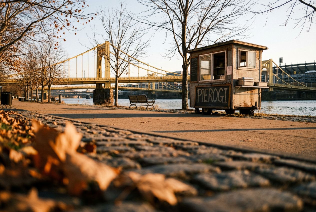
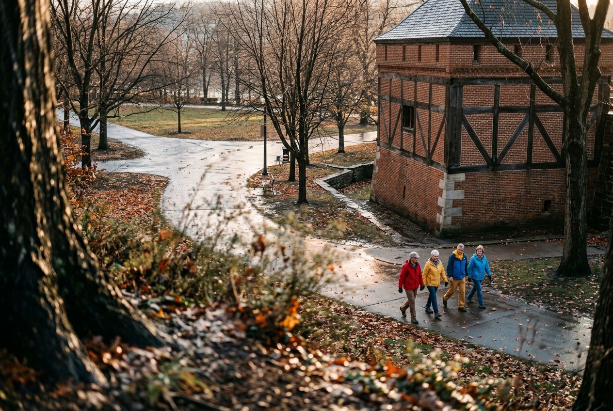
This is a run along Pittsburgh's riverfronts past historic bridges, stadiums, and city skyline views, on wide paths free of cars.
Along the way
1
Point State Park (Confluence Fountain)Begin your run at the iconic confluence of the Allegheny and Monongahela rivers, offering expansive views and a perfect car-free starting point.
2
Three Rivers Heritage Trail (Allegheny Riverfront)Follow this wide, paved trail along the Allegheny River, enjoying uninterrupted views of the downtown skyline and the river's activity, free from vehicle traffi
3
Roberto Clemente Bridge (Sixth Street Bridge)Cross this historic yellow bridge, often closed to vehicles, providing a unique pedestrian experience and stunning perspectives of both the city and the North S
4
North Shore Riverfront ParkRun through this expansive park, offering wide paths with direct views of PNC Park, Heinz Field, and the panoramic cityscape across the river.
5
Three Rivers Heritage Trail (Ohio River Side, North Shore)Continue along the trail as it curves towards the Ohio River, providing different angles of the city's industrial heritage and modern development on a smooth, c
6
Fort Pitt Bridge (Pedestrian Walkway)Complete your loop by crossing the pedestrian walkway of the Fort Pitt Bridge, offering one of the most dramatic views of the Point and Downtown Pittsburgh as y
The route
Distance3.9 km
Walking≈ 53 min
Running≈ 24 min
Climb↑ 13 m
RouteCircular
A 3.9 km circular route from Pittsburgh to walk, run or cycle, with 13 m of climbing.
Elevation↑ 13 m in total
Before you go
StartPoint State Park (Confluence Fountain), Commonwealth Pl, Pittsburgh, PA 15222Open the start in Maps →
 Route