听一条路线

5 万个故事等你来听。点一个播放吧。

路线

Three Rivers Panorama Run, Pittsburgh, Pennsylvania

Three Rivers Panorama Run

90 种语言
点按试听
适合步行跑步骑行
河边平坦好走沿途 6 个地点

边探索,边听精彩故事。

点按试听

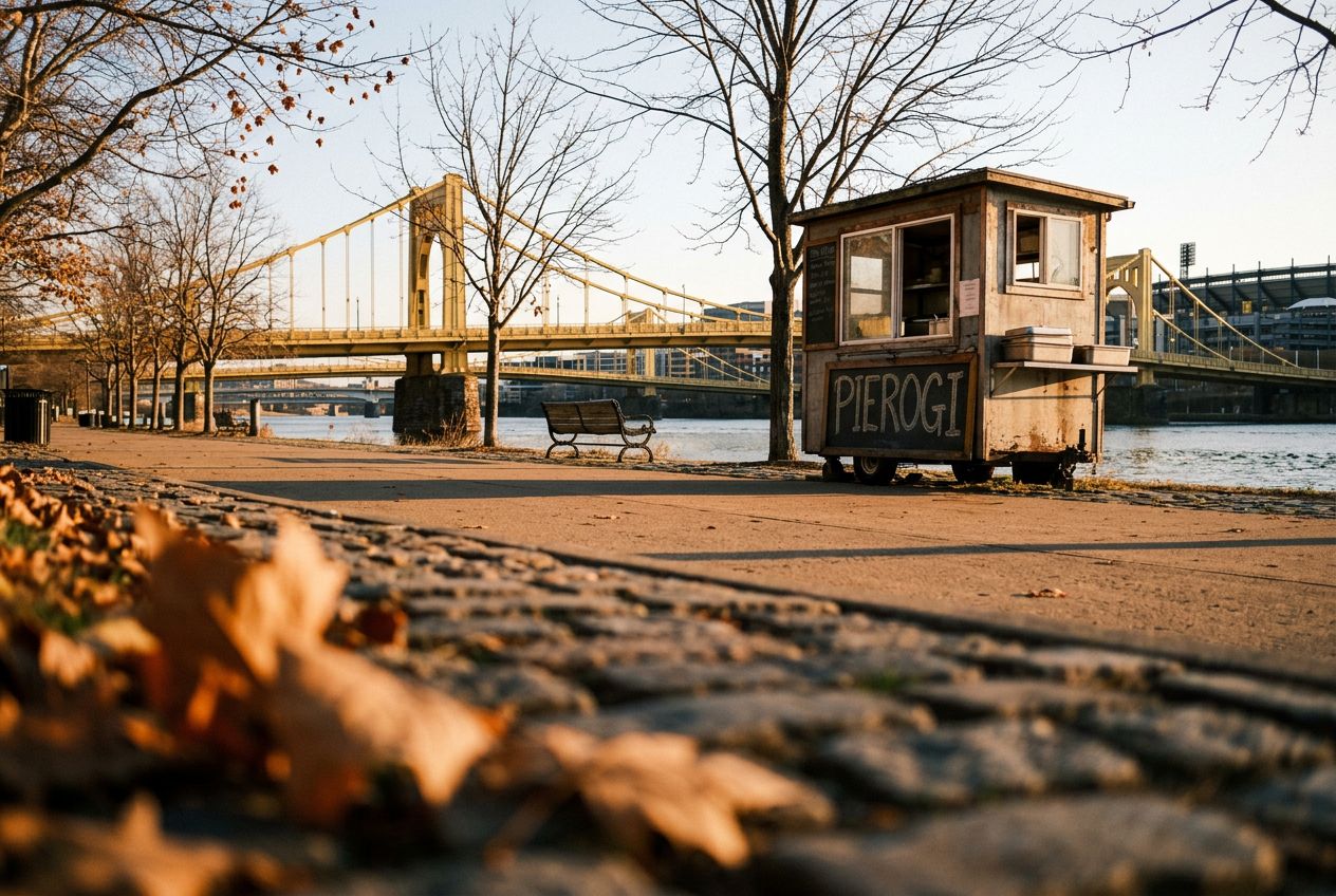
This is a run along Pittsburgh's riverfronts past historic bridges, stadiums, and city skyline views, on wide paths free of cars.

沿途

1
Point State Park (Confluence Fountain)Begin your run at the iconic confluence of the Allegheny and Monongahela rivers, offering expansive views and a perfect car-free starting point.
2
Three Rivers Heritage Trail (Allegheny Riverfront)Follow this wide, paved trail along the Allegheny River, enjoying uninterrupted views of the downtown skyline and the river's activity, free from vehicle traffi
3
Roberto Clemente Bridge (Sixth Street Bridge)Cross this historic yellow bridge, often closed to vehicles, providing a unique pedestrian experience and stunning perspectives of both the city and the North S
4
North Shore Riverfront ParkRun through this expansive park, offering wide paths with direct views of PNC Park, Heinz Field, and the panoramic cityscape across the river.
5
Three Rivers Heritage Trail (Ohio River Side, North Shore)Continue along the trail as it curves towards the Ohio River, providing different angles of the city's industrial heritage and modern development on a smooth, c
6
Fort Pitt Bridge (Pedestrian Walkway)Complete your loop by crossing the pedestrian walkway of the Fort Pitt Bridge, offering one of the most dramatic views of the Point and Downtown Pittsburgh as y

路线

距离3.9 km
步行≈ 53 分钟
跑步≈ 24 分钟
爬升↑ 13 m
路线环线

从Pittsburgh出发的一条3.9 km环形路线,步行、跑步或骑行,爬升13 m。
海拔总计 ↑ 13 m

出发前

起点Point State Park (Confluence Fountain), Commonwealth Pl, Pittsburgh, PA 15222在地图中打开起点 →
终点回到起点
讲述语言
免费分享给 5 个人