



















Escucha una ruta

50.000 historias esperan a ser contadas. Dale al play en una.

Rutas

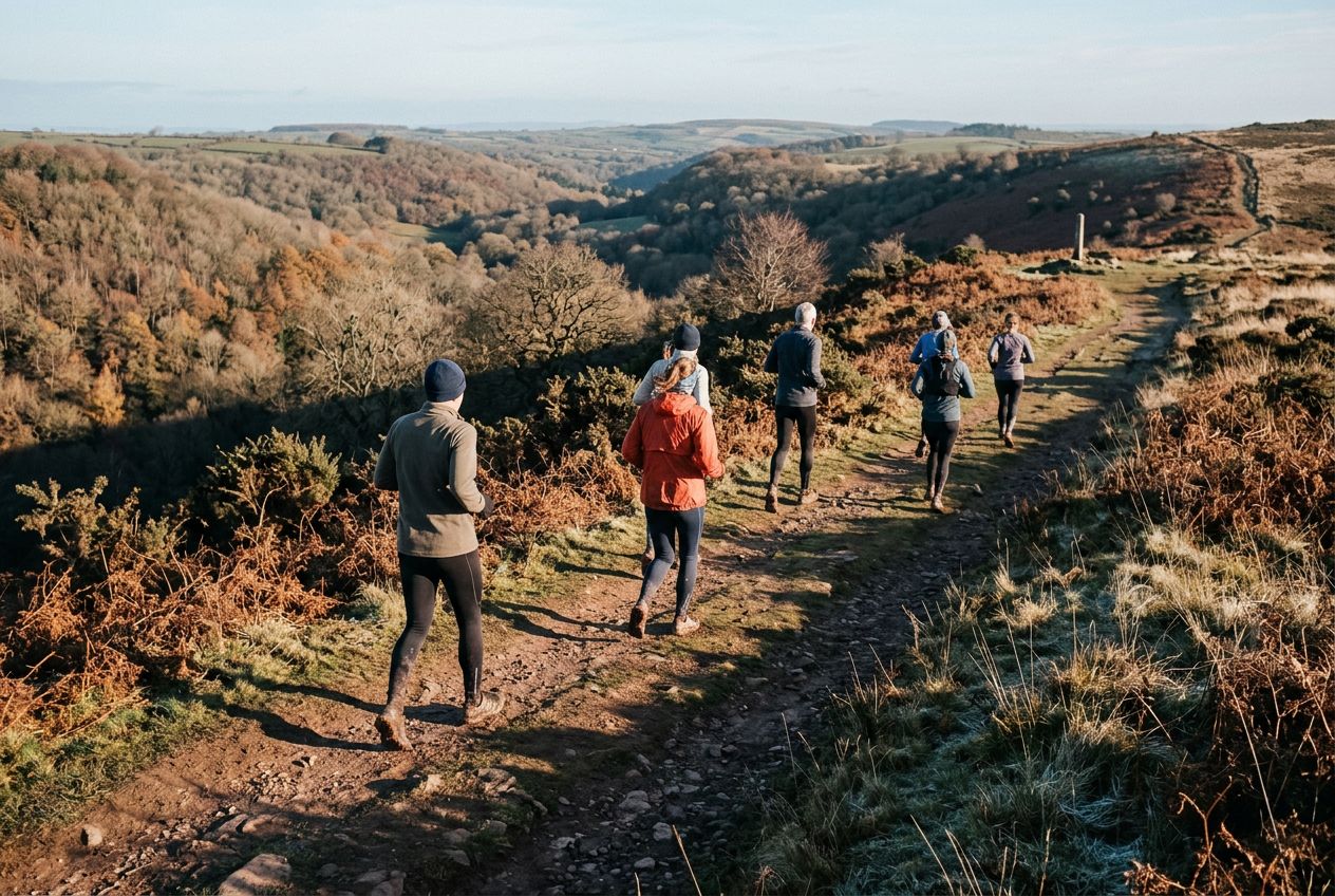
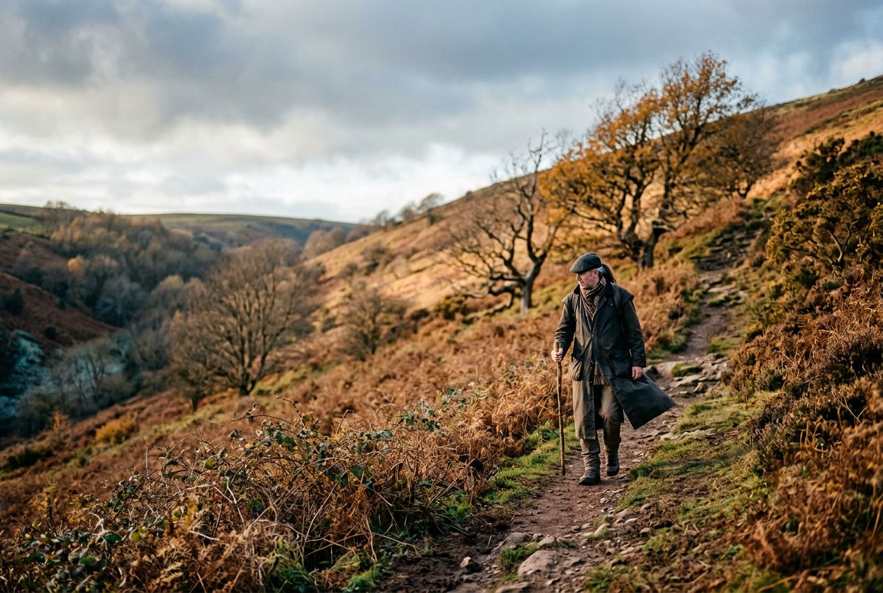
Run the Plainfield to Wills Neck route near Nether Stowey., Somerset

Run the Plainfield to Wills Neck route near Nether Stowey.

90 idiomas
Toca para escuchar avances
Apta paraCorrerCiclismo
2 lugares por el camino

Historias increíbles mientras exploras.

Toca para escuchar avances

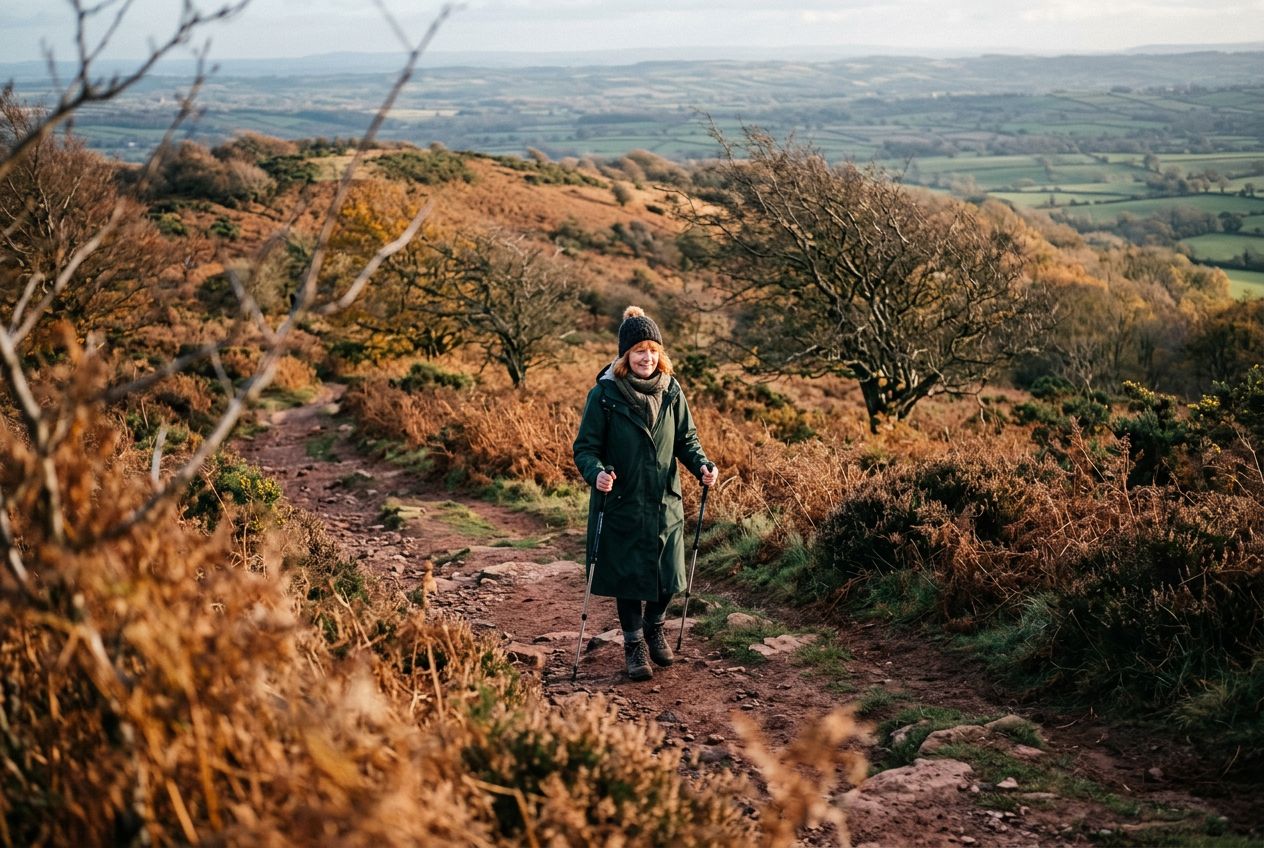
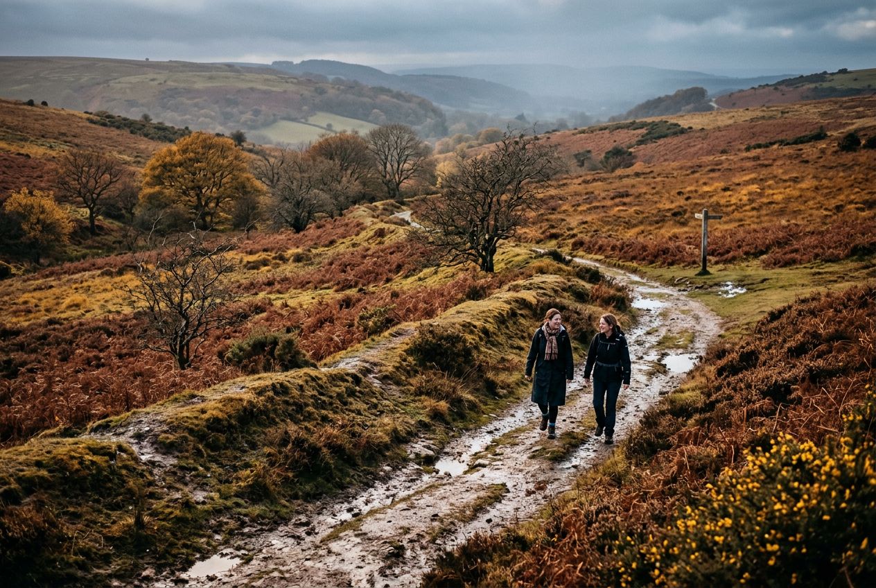
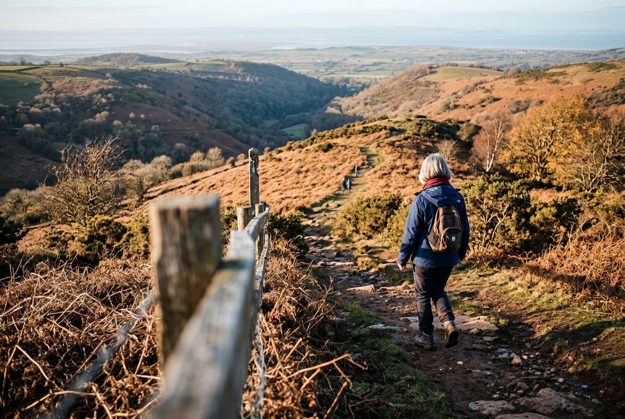
Welcome to a Quantock Hills route to Wills Neck, the highest point of the range, reached by a steep climb rewarded with wide views.

Por el camino

1
Wills NeckThe highest point of the Quantock Hills, reached after a sharp climb with wide views.
2
PlainfieldThe starting point of the route to Wills Neck near Nether Stowey.

La ruta

Distancia8.2 km
Correr≈ 1 h 01
Ciclismo≈ 45 min
Subida↑ 236 m
RutaCircular

Una ruta circular de 8.2 km desde Nether Stowey para correr o pedalear, con 236 m de desnivel.

Desnivel↑ 236 m en total

Antes de salir

SalidaNether Stowey, Somerset, TA5 1AWAbrir la salida en Maps →
LlegadaVuelves al punto de salida
AparcamientoThe start is the Forest Office car park at Plainsfield map reference ST188366.
Historias en
Compártela gratis con 5 personas