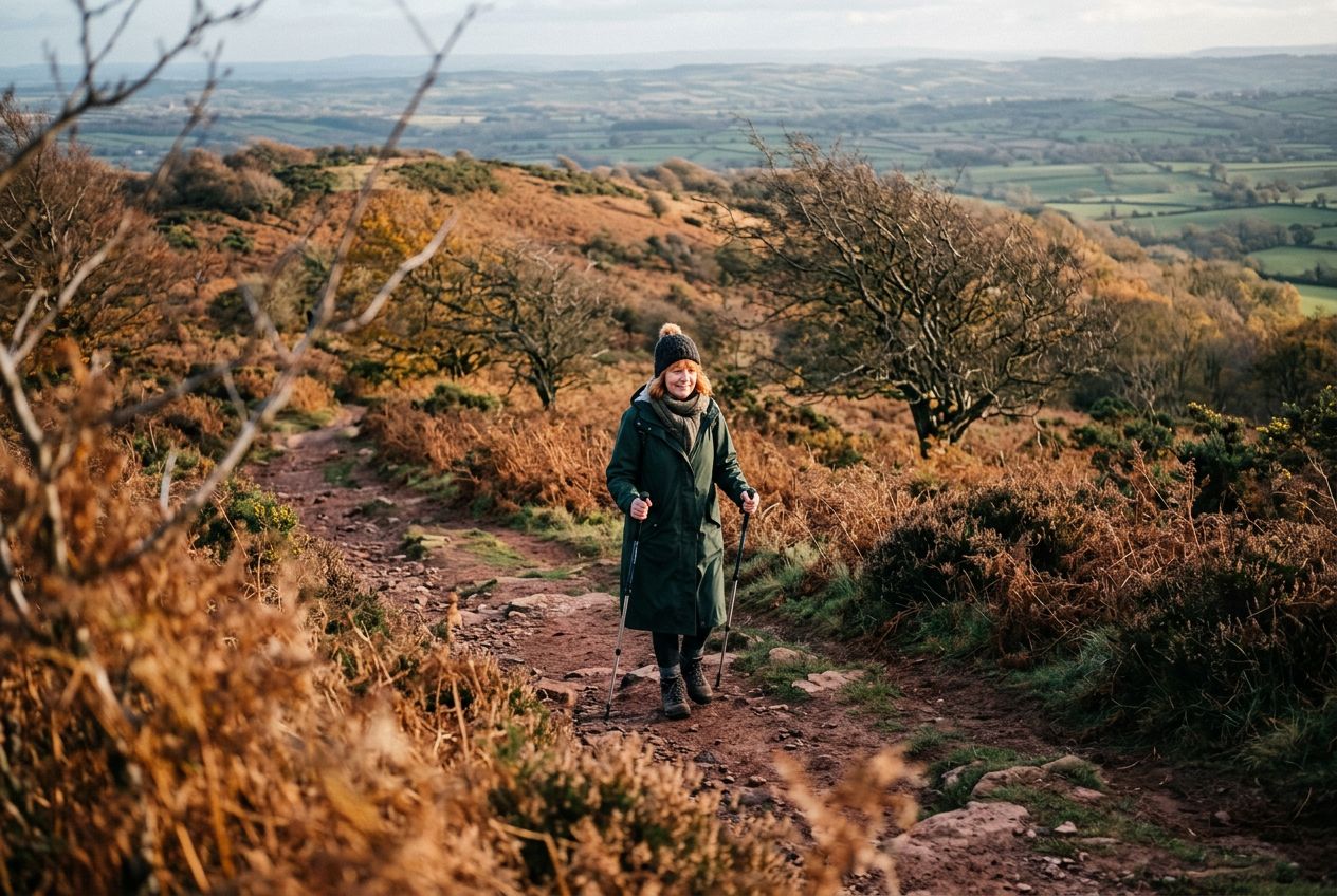
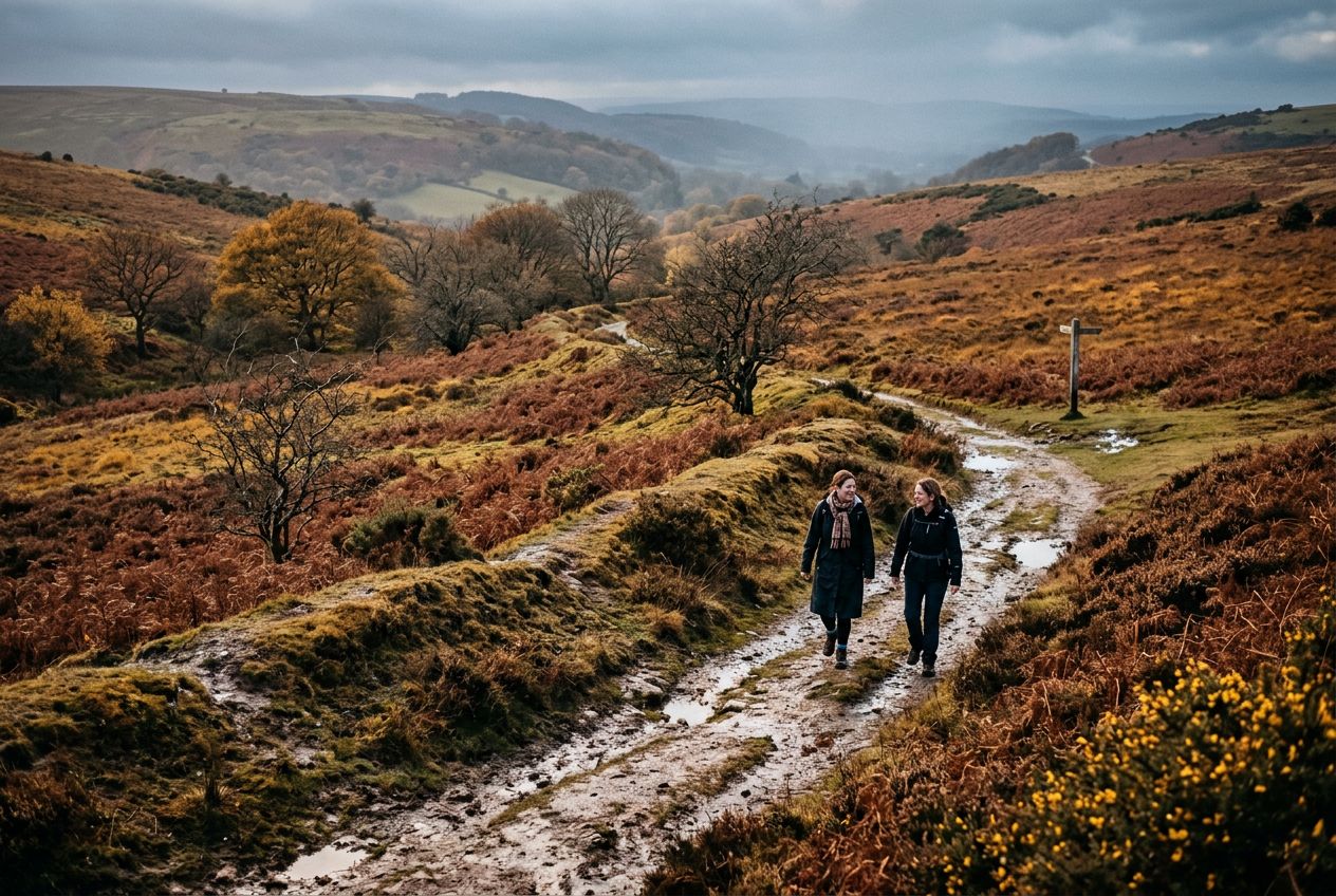
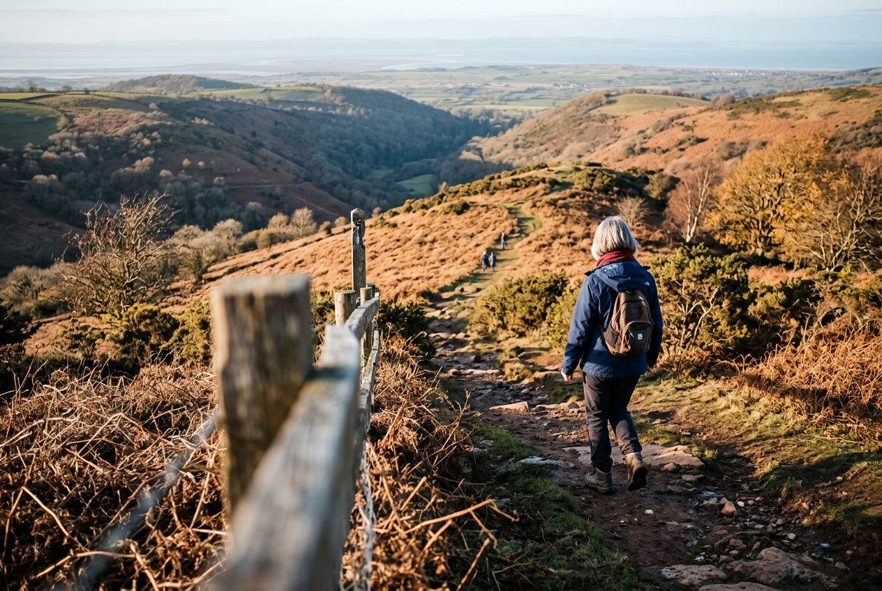
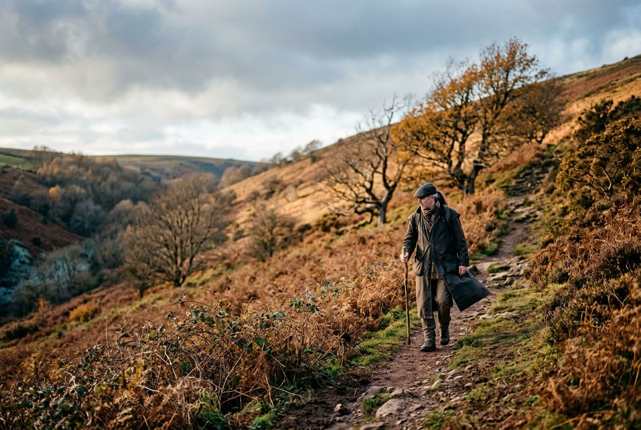
Wills NeckThe highest point of the Quantock Hills, reached after a sharp climb with wide views.
Hear a route
50,000 stories are waiting to be told. Press play on one.
Routes
On the map
Every pin is a route, and every route is full of stories.
 Route Stories
50,000 stories are waiting to be told. Press play on one.
Every pin is a route, and every route is full of stories.




 90 languages




















Welcome to a Quantock Hills route to Wills Neck, the highest point of the range, reached by a steep climb rewarded with wide views.
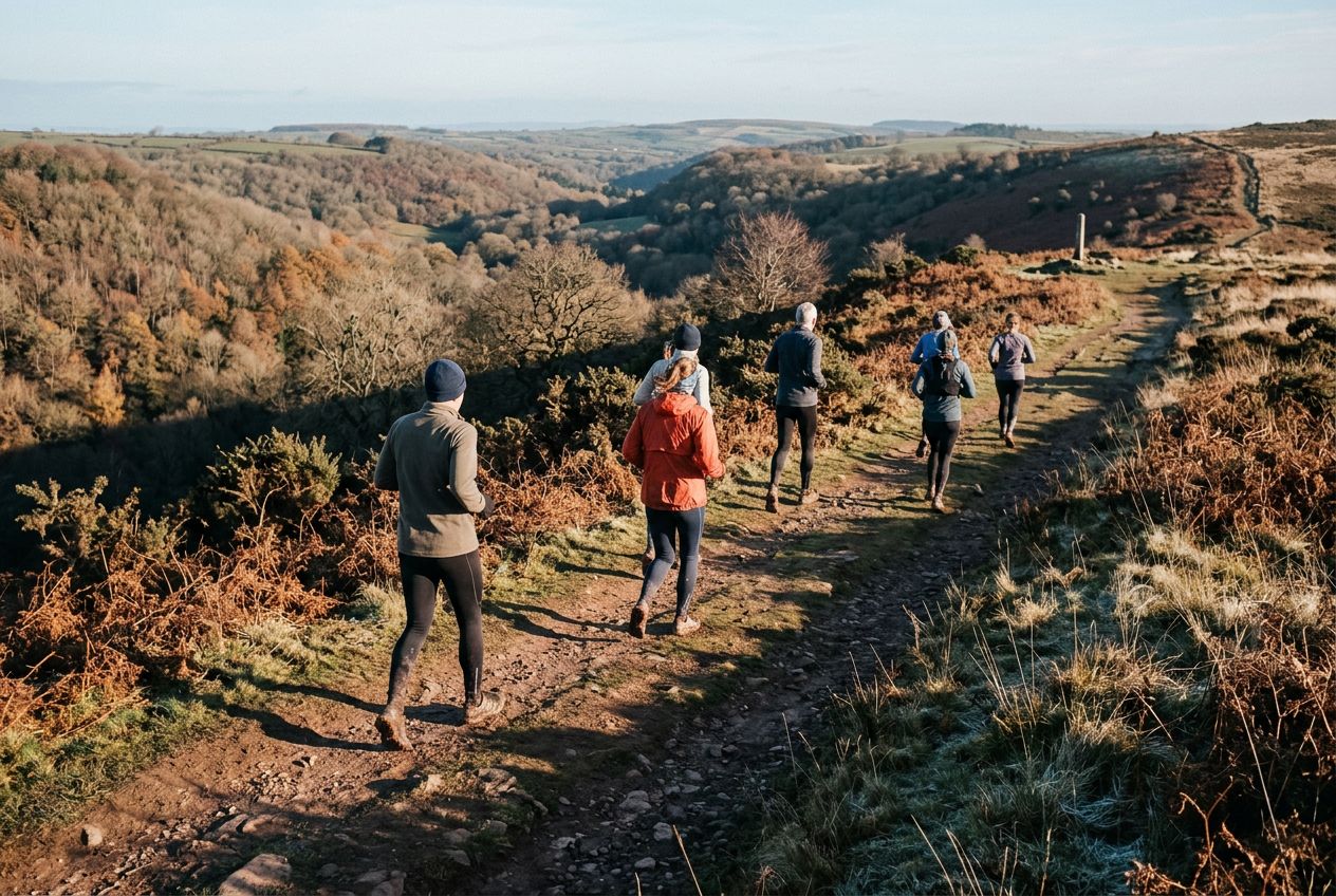
A 8.2 km circular route from Nether Stowey to run or cycle, with 236 m of climbing.