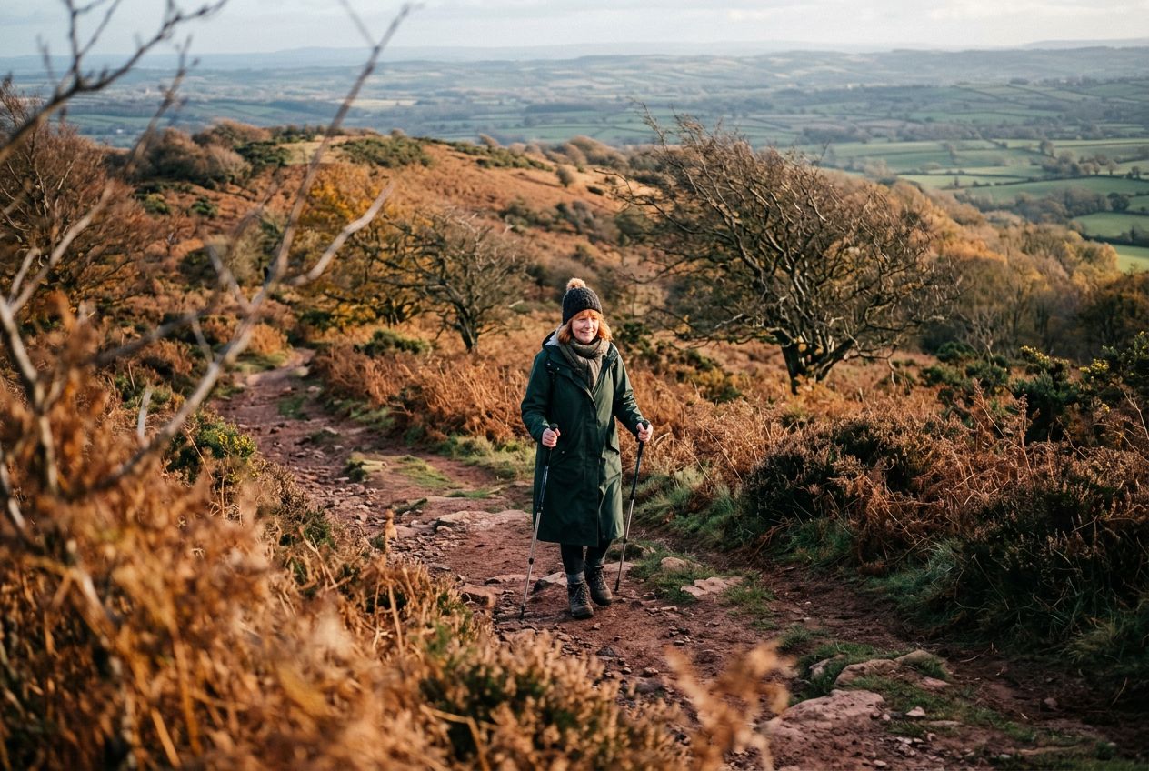
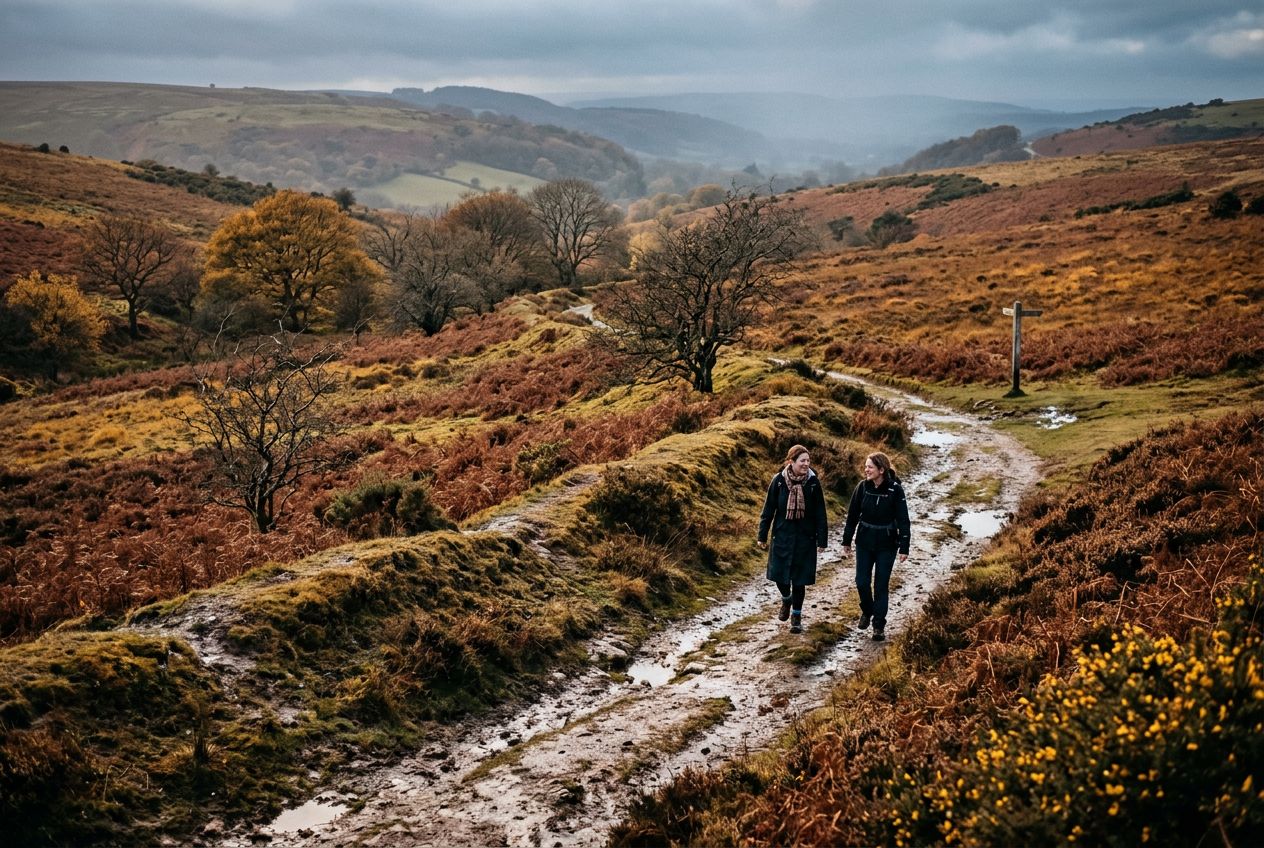
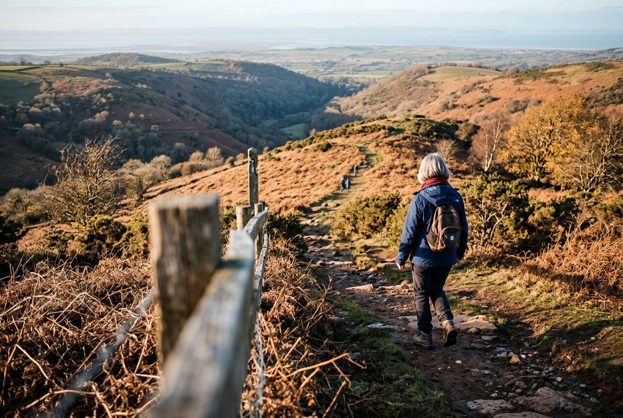
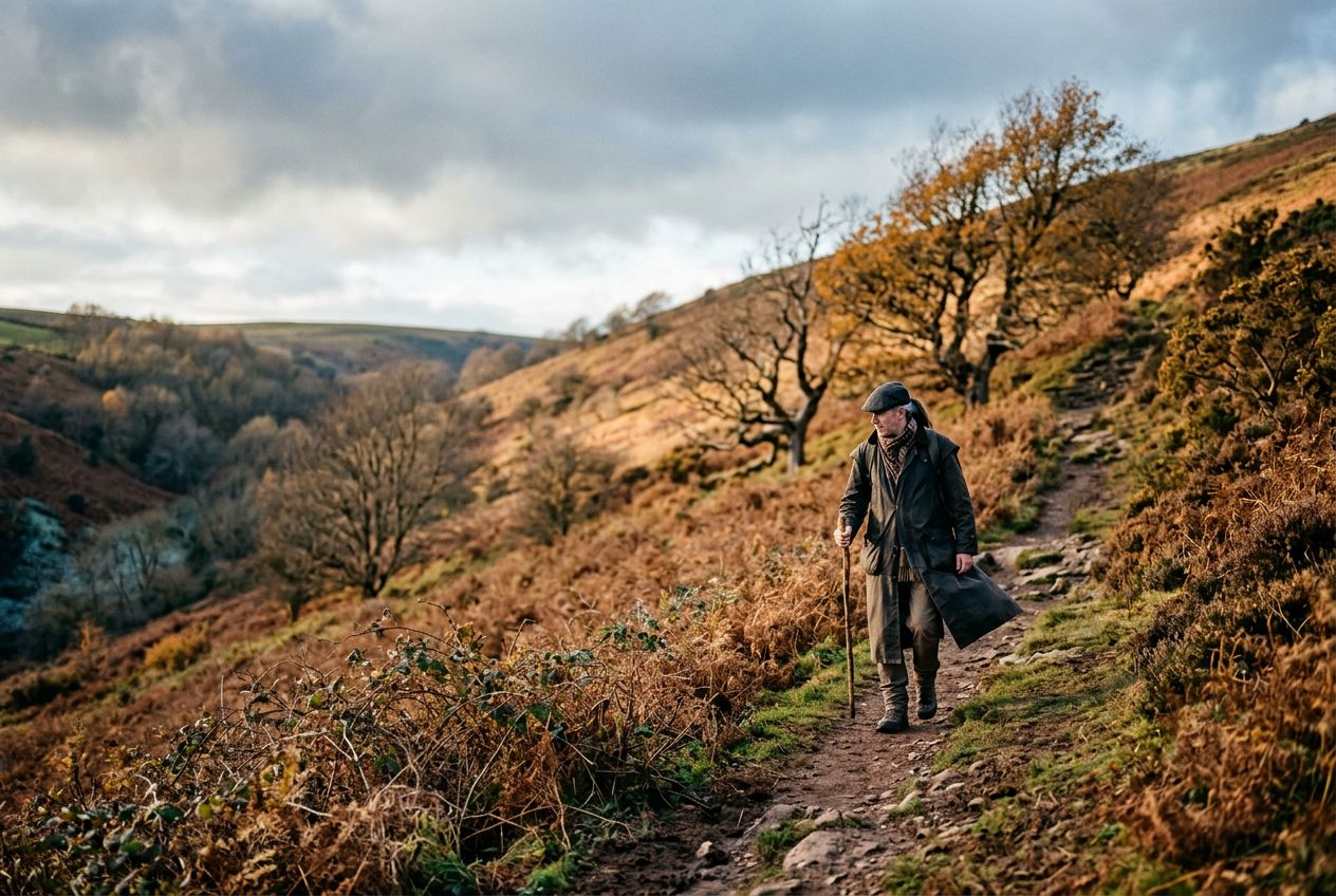
Wills NeckThe highest point of the Quantock Hills, reached after a sharp climb with wide views.
Hoor een route
50.000 verhalen wachten om verteld te worden. Druk op play.
Routes
Op de kaart
Elke speld is een route, en elke route zit vol verhalen.
 Route Stories
50.000 verhalen wachten om verteld te worden. Druk op play.
Elke speld is een route, en elke route zit vol verhalen.




 90 talen




















Welcome to a Quantock Hills route to Wills Neck, the highest point of the range, reached by a steep climb rewarded with wide views.
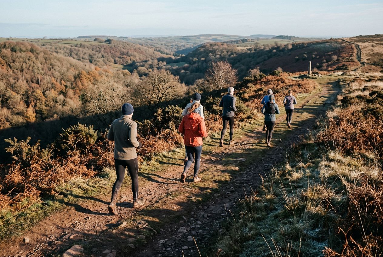
Een rondje van 8.2 km vanuit Nether Stowey om te hardlopen of fietsen, met 236 m klimmen.