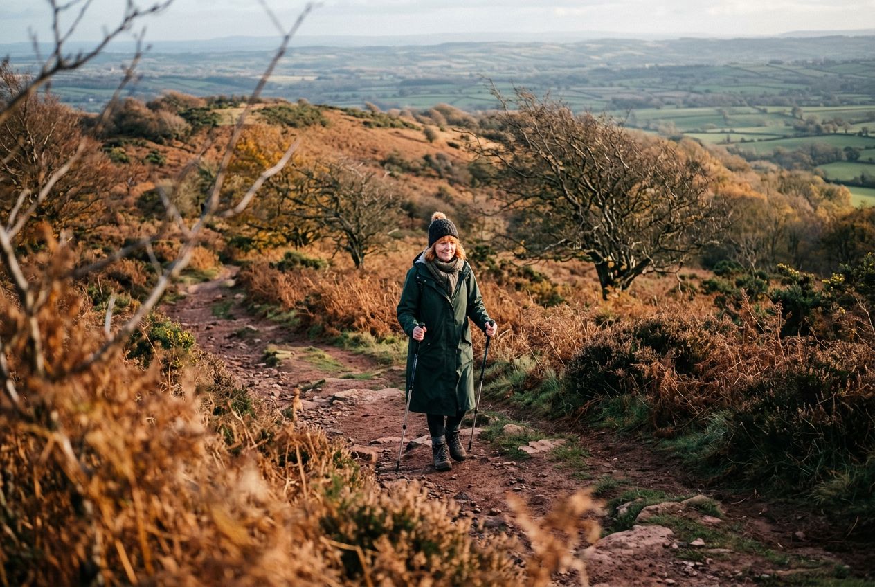
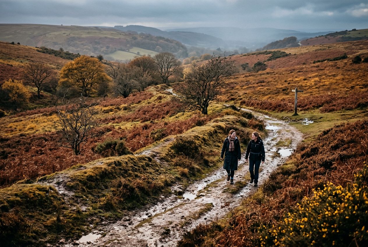
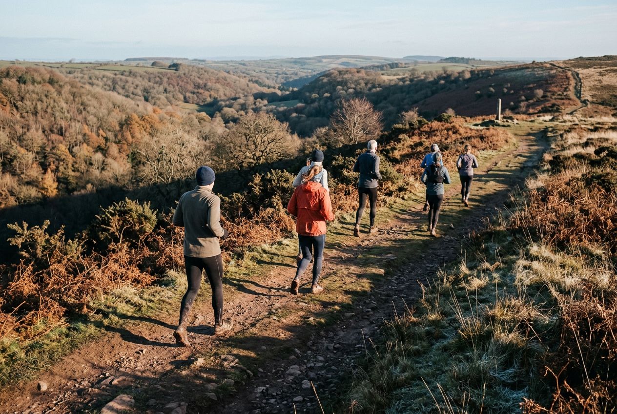
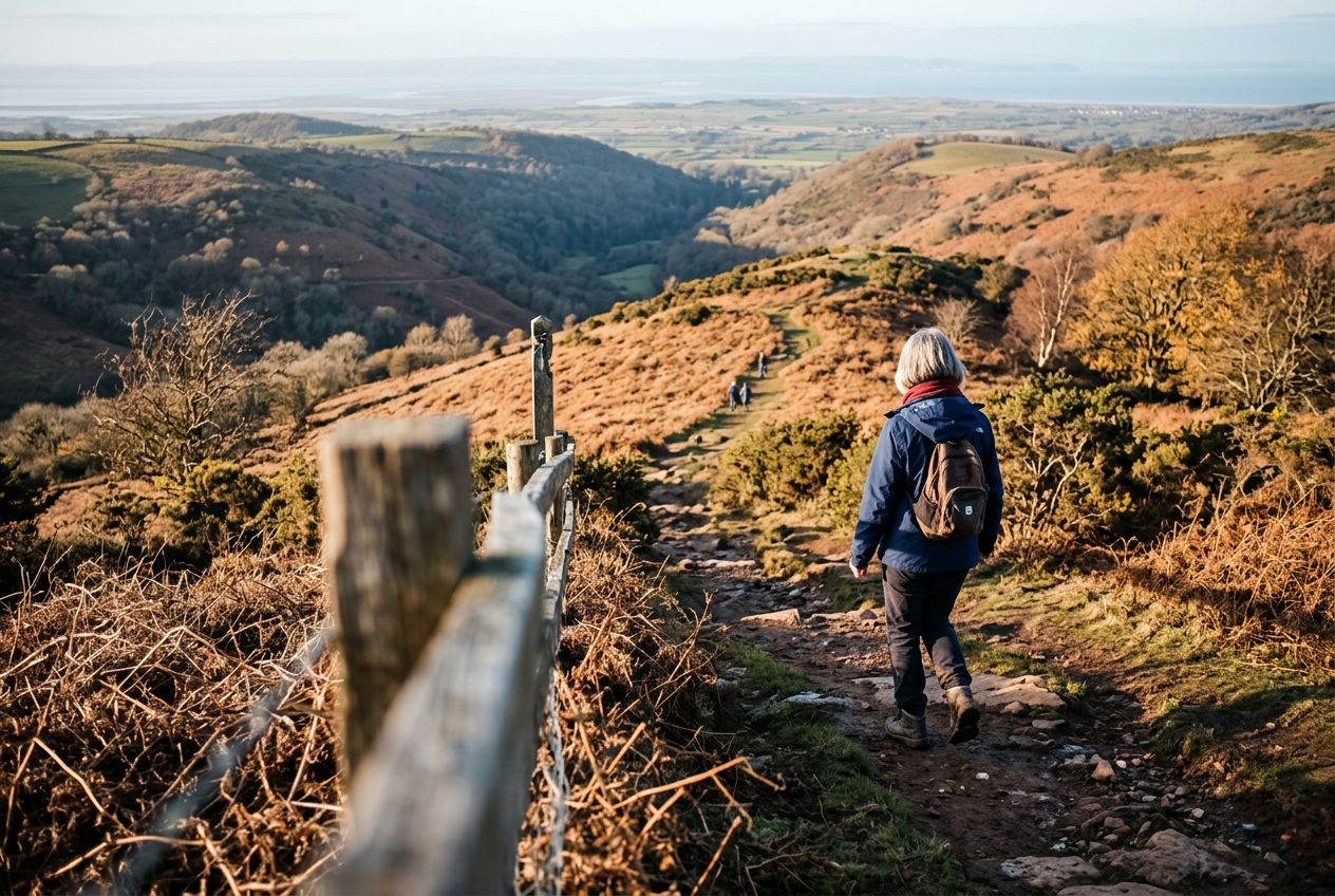
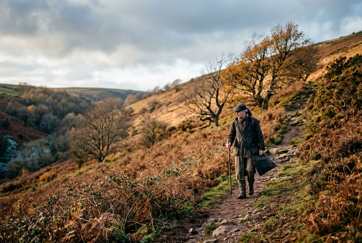
Wills NeckThe highest point of the Quantock Hills, reached after a sharp climb with wide views.
ルートを聴く
5万の物語が待っています。ひとつ再生してみましょう。
ルート
地図で見る
ピンひとつがルートひとつ。どのルートも物語でいっぱいです。
 Route Stories
5万の物語が待っています。ひとつ再生してみましょう。
ピンひとつがルートひとつ。どのルートも物語でいっぱいです。




 90の言語




















Welcome to a Quantock Hills route to Wills Neck, the highest point of the range, reached by a steep climb rewarded with wide views.
Nether Stoweyから走るか自転車で、周回ルートです。全長8.2 km、登り236 m。