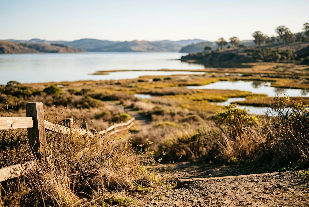
Giacomini WetlandsWetlands at the southern end of Tomales Bay with abundant birdlife.
Escucha una ruta
50.000 historias esperan a ser contadas. Dale al play en una.
Rutas
En el mapa
Cada chincheta es una ruta, y cada ruta está llena de historias.
 Route Stories
50.000 historias esperan a ser contadas. Dale al play en una.
Cada chincheta es una ruta, y cada ruta está llena de historias.




 90 idiomas




















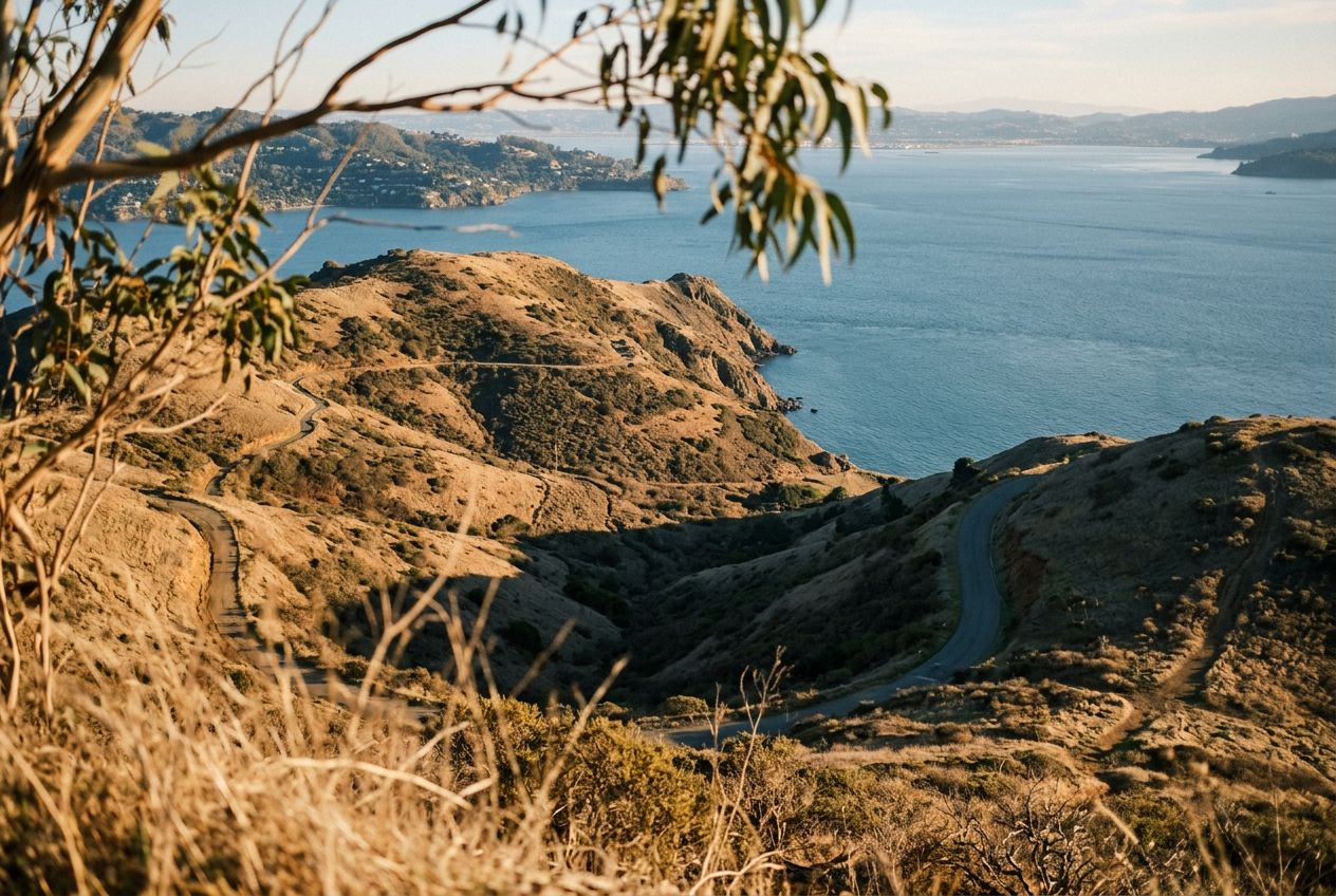
Here is an easy, scenic loop passing ponds and wetlands at the southern end of Tomales Bay. Along the way you'll cross meadows and grazing pasture, climb gently over a bluff for wide water views, spot unusual blueschist rocks near the start, and see plenty of birds. Some stretches stay damp after rain, and it's a good first hike for kids and beginners. The trail also follows a submerged rift of the San Andreas Fault, adding geological interest.
Una ruta circular de 4.1 km desde Point Reyes Station para caminar, correr o pedalear, con 78 m de desnivel.