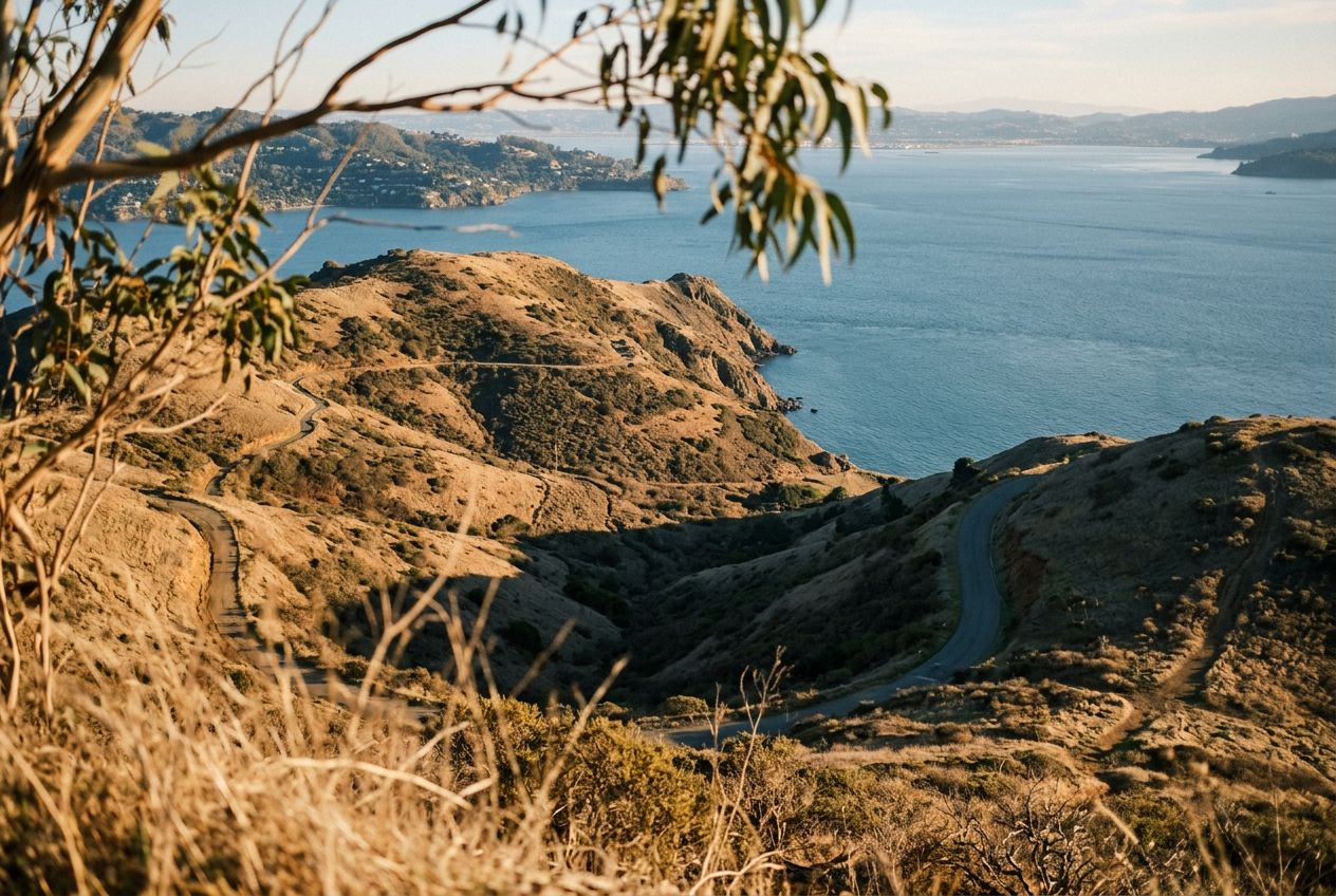
Giacomini WetlandsWetlands at the southern end of Tomales Bay with abundant birdlife.
听一条路线
5 万个故事等你来听。点一个播放吧。
路线
地图上看
每个图钉是一条路线,每条路线都满是故事。
 Route Stories
5 万个故事等你来听。点一个播放吧。
每个图钉是一条路线,每条路线都满是故事。




 90 种语言




















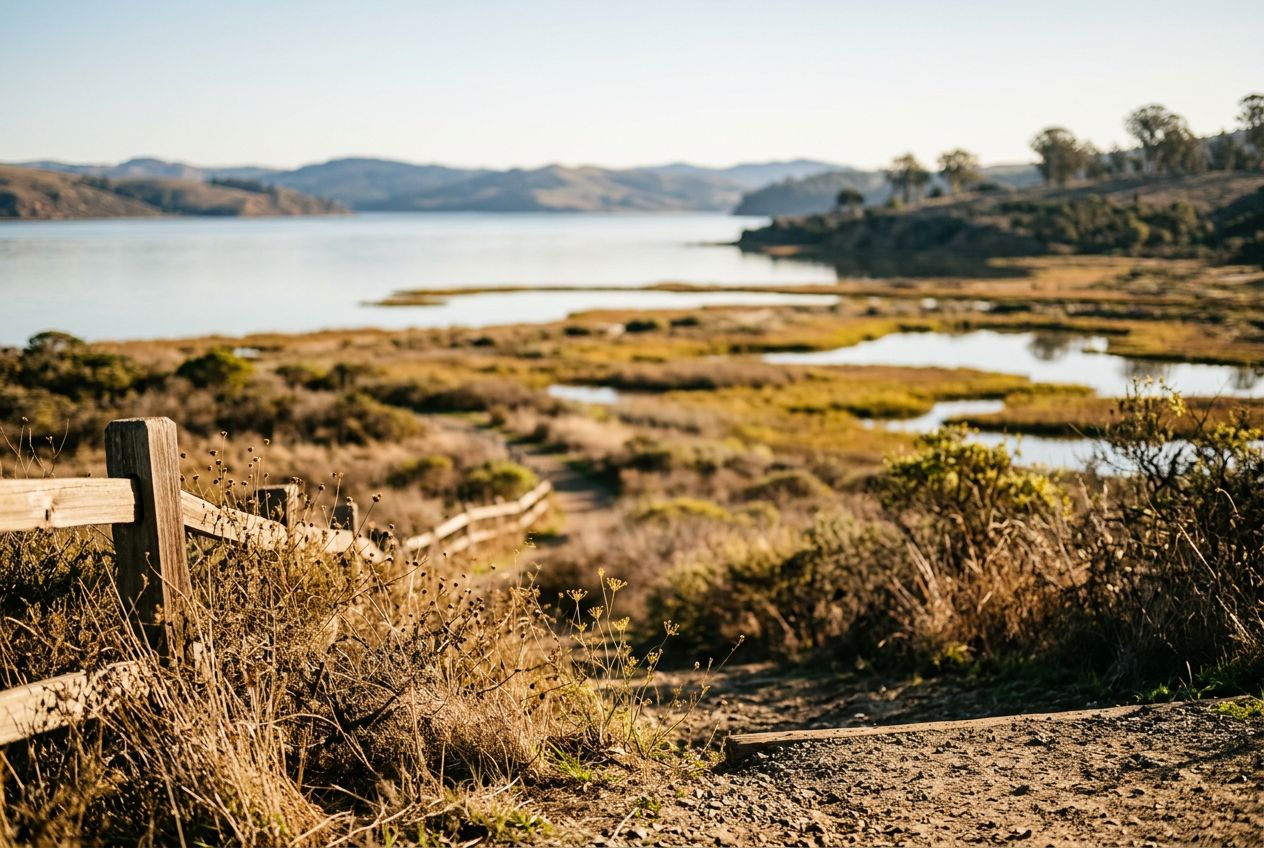
Here is an easy, scenic loop passing ponds and wetlands at the southern end of Tomales Bay. Along the way you'll cross meadows and grazing pasture, climb gently over a bluff for wide water views, spot unusual blueschist rocks near the start, and see plenty of birds. Some stretches stay damp after rain, and it's a good first hike for kids and beginners. The trail also follows a submerged rift of the San Andreas Fault, adding geological interest.
从Point Reyes Station出发的一条4.1 km环形路线,步行、跑步或骑行,爬升78 m。