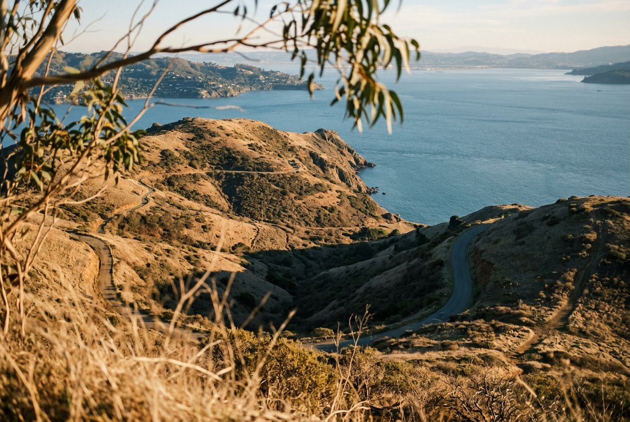
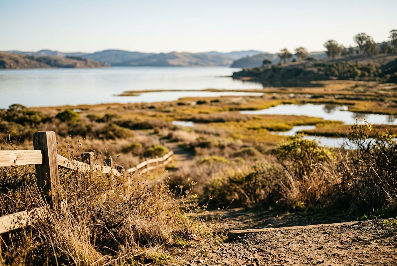
Giacomini WetlandsWetlands at the southern end of Tomales Bay with abundant birdlife.
코스 들어보기
50,000개의 이야기가 기다리고 있어요. 하나 재생해 보세요.
코스
지도에서 보기
핀 하나하나가 코스이고, 코스마다 이야기가 가득해요.
 Route Stories
50,000개의 이야기가 기다리고 있어요. 하나 재생해 보세요.
핀 하나하나가 코스이고, 코스마다 이야기가 가득해요.




 90개 언어




















Here is an easy, scenic loop passing ponds and wetlands at the southern end of Tomales Bay. Along the way you'll cross meadows and grazing pasture, climb gently over a bluff for wide water views, spot unusual blueschist rocks near the start, and see plenty of birds. Some stretches stay damp after rain, and it's a good first hike for kids and beginners. The trail also follows a submerged rift of the San Andreas Fault, adding geological interest.
Point Reyes Station에서 출발하는 4.1 km 순환 걷거나, 달리거나, 자전거를 타기에 코스, 오르막 78 m.