50 000 histoires n'attendent que toi. Lance-en une.
Parcours
Sur la carte
Chaque repère est un parcours, et chaque parcours est plein d'histoires.
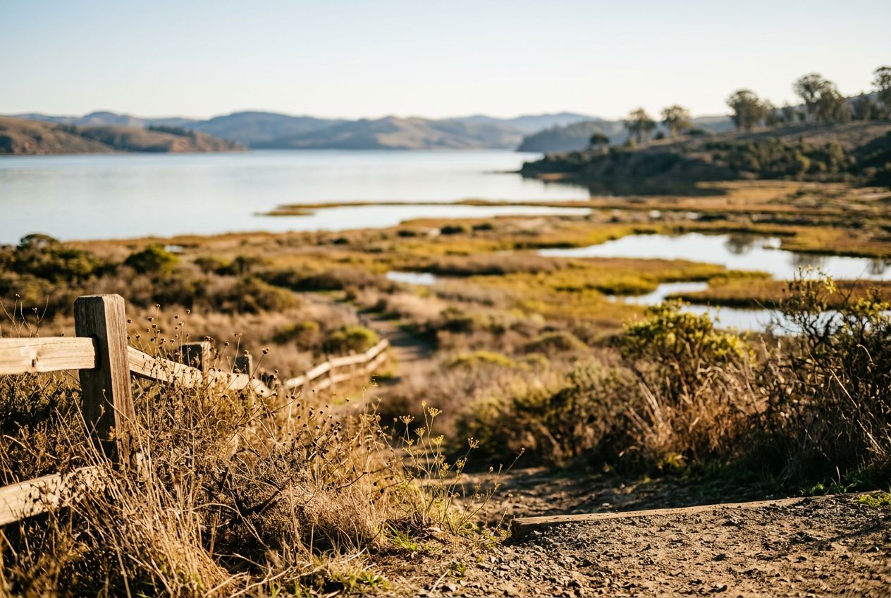
Walk the Tomales Bay Trail in Point Reyes Station.
90 langues
Touchez pour écouter des extraits
Convient pourMarcheCourse à piedVélo
Campagne2 lieux en chemin
Des histoires étonnantes en explorant.
Touchez pour écouter des extraits
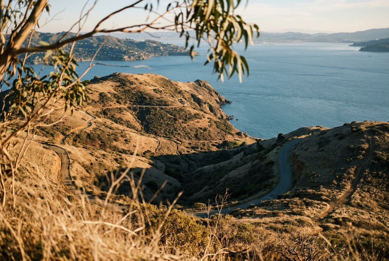
Here is an easy, scenic loop passing ponds and wetlands at the southern end of Tomales Bay. Along the way you'll cross meadows and grazing pasture, climb gently over a bluff for wide water views, spot unusual blueschist rocks near the start, and see plenty of birds. Some stretches stay damp after rain, and it's a good first hike for kids and beginners. The trail also follows a submerged rift of the San Andreas Fault, adding geological interest.
En chemin
1
Giacomini WetlandsWetlands at the southern end of Tomales Bay with abundant birdlife.
2
Inverness RidgeRidge sitting along a submerged rift of the San Andreas Fault, adding geological interest.
L'itinéraire
Distance4.1 km
Marche≈ 1 h 02
Course à pied≈ 29 min
Montée↑ 78 m
ParcoursBoucle
Un itinéraire circulaire de 4.1 km au départ de Point Reyes Station pour marcher, courir ou faire du vélo, avec 78 m de dénivelé positif.
 Route