50 000 histoires n'attendent que toi. Lance-en une.
Parcours
Sur la carte
Chaque repère est un parcours, et chaque parcours est plein d'histoires.
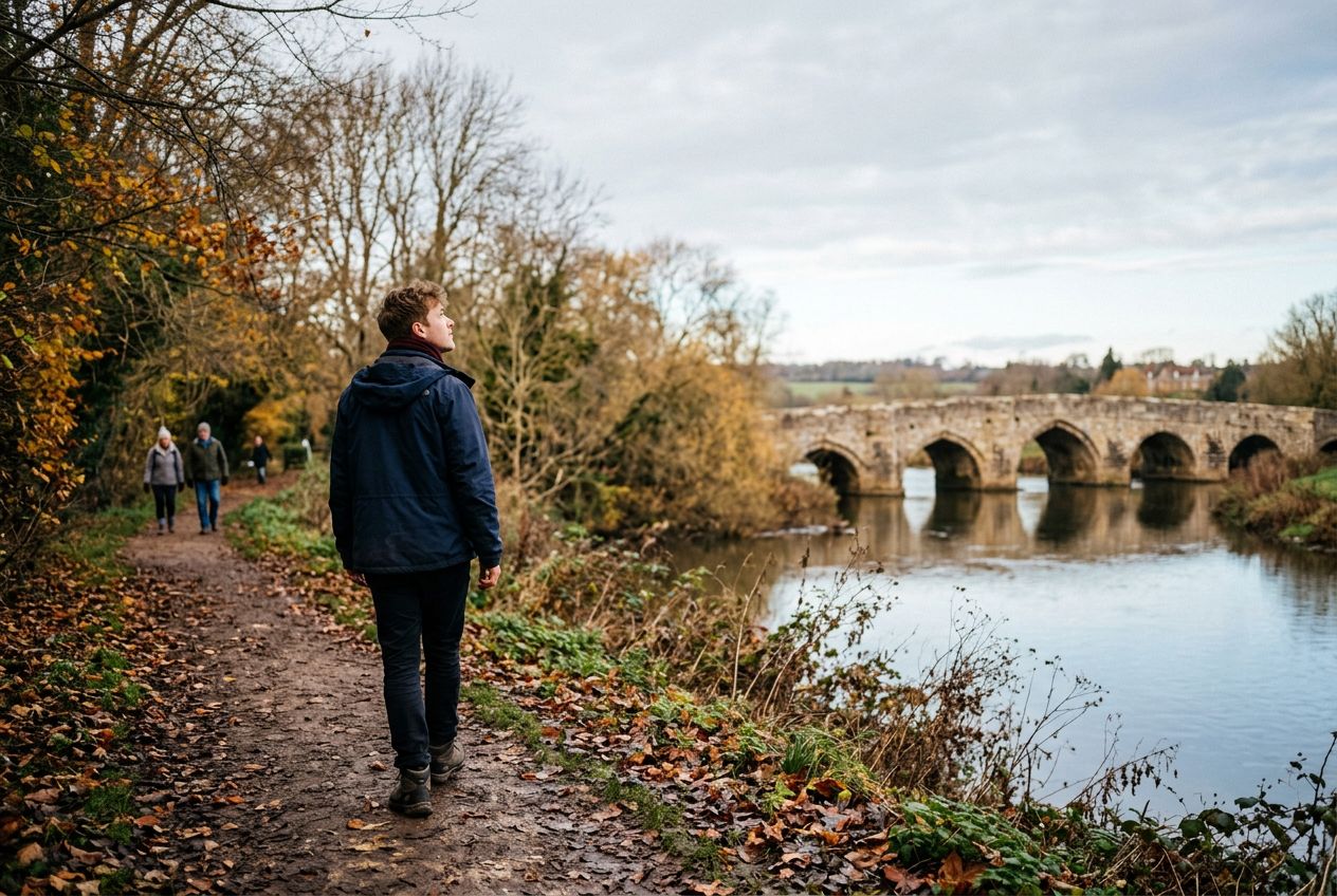
Walk the West Farleigh River route near Wateringbury.
90 langues
Touchez pour écouter des extraits
Convient pourMarcheCourse à piedVélo
Au bord de l'eau3 lieux en chemin
Des histoires étonnantes en explorant.
Touchez pour écouter des extraits
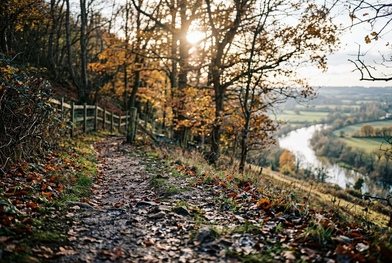
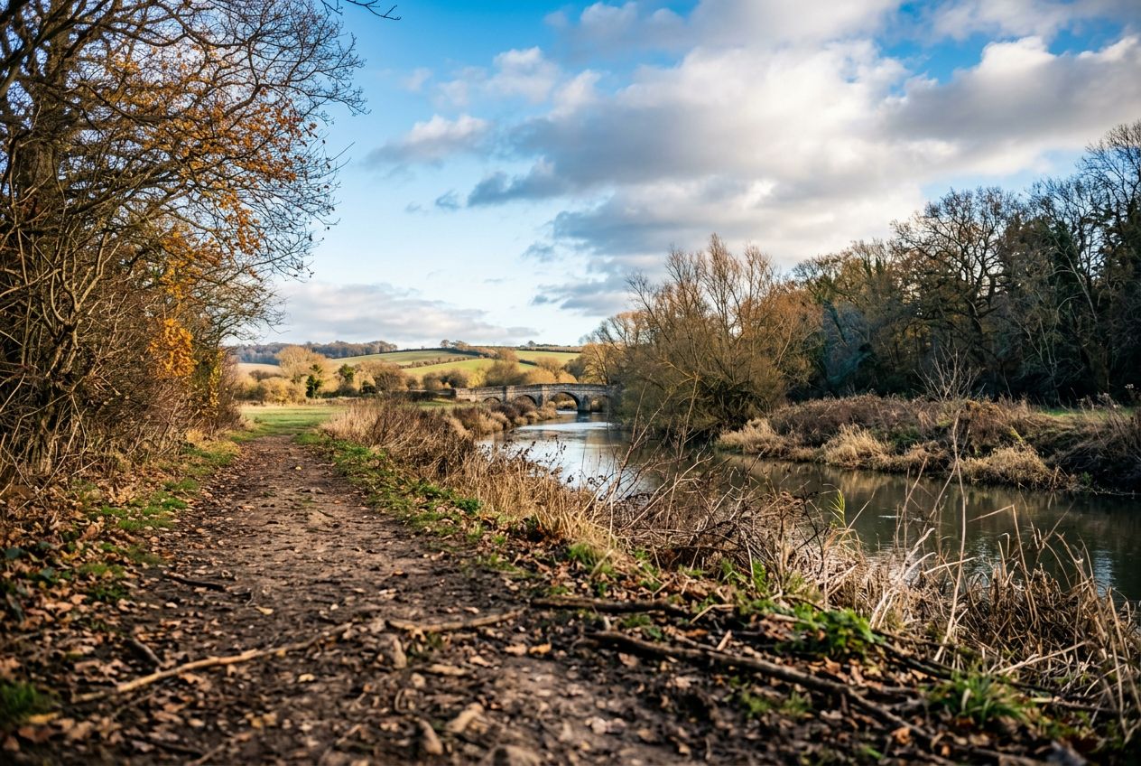
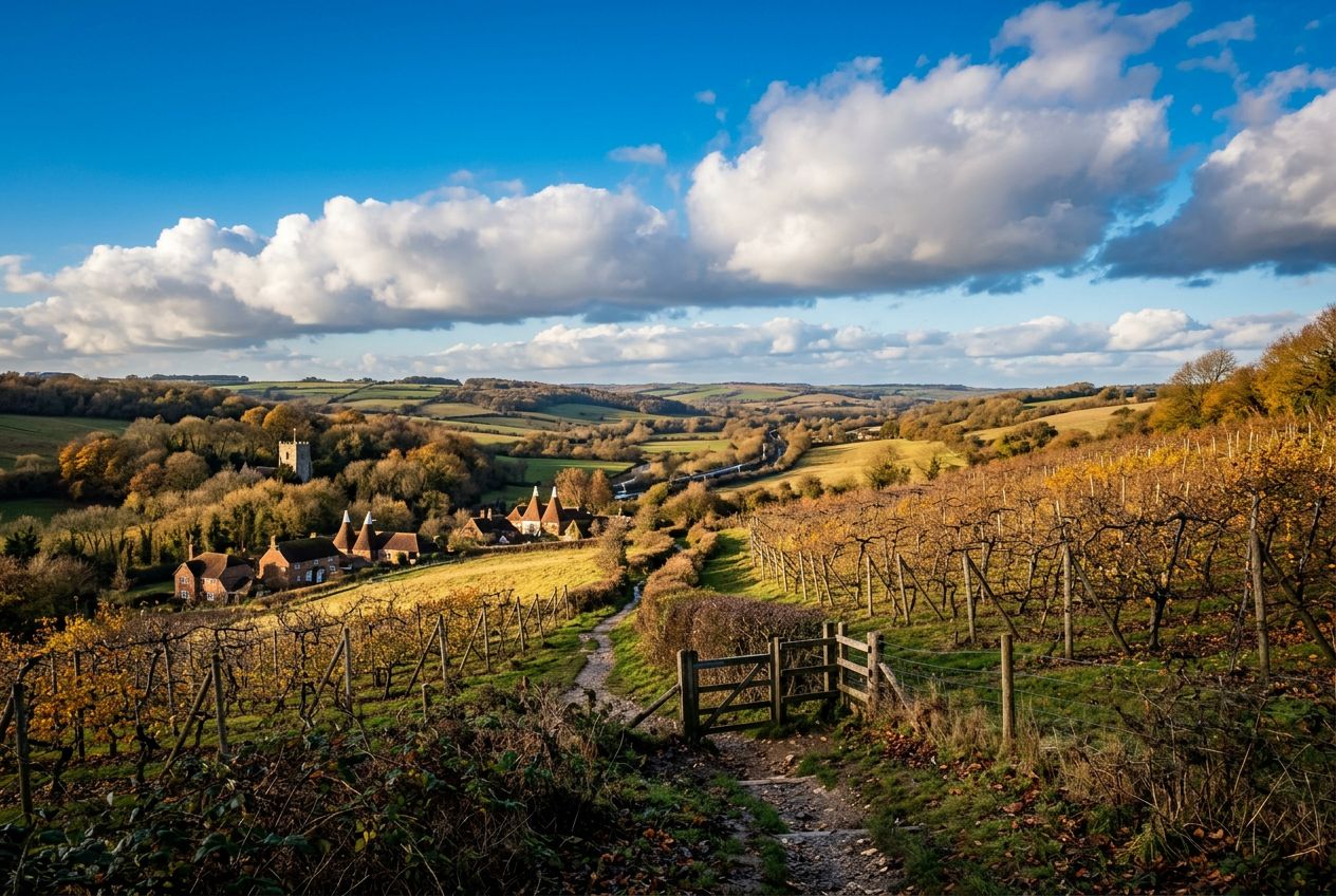
Here is a riverside stroll that climbs a steep hill for wide views over the Medway Valley and can be combined with the Teston walk for a longer day. Highlights include Kettle Bridge, also called Barming Bridge, which replaced an ancient ford, and the local tale that Roman cobbles remain on the riverbed below. Kettle Lane takes its name from cattle once driven to Chatham, and nearby hilltop houses are said to have been used in smuggling.
En chemin
1
Kettle BridgeAlso called Barming Bridge, it replaced an ancient ford where a crossing has existed since Roman times.
2
Medway ValleyWide view from the steep hill climbed on this riverside walk.
3
Kettle LaneIts name comes from Cattle Lane, where herds were driven down to the ford for slaughter at Chatham.
L'itinéraire
Distance5.7 km
Marche≈ 1 h 25
Course à pied≈ 39 min
Montée↑ 88 m
ParcoursBoucle
Un itinéraire circulaire de 5.7 km au départ de Wateringbury pour marcher, courir ou faire du vélo, avec 88 m de dénivelé positif.
 Route