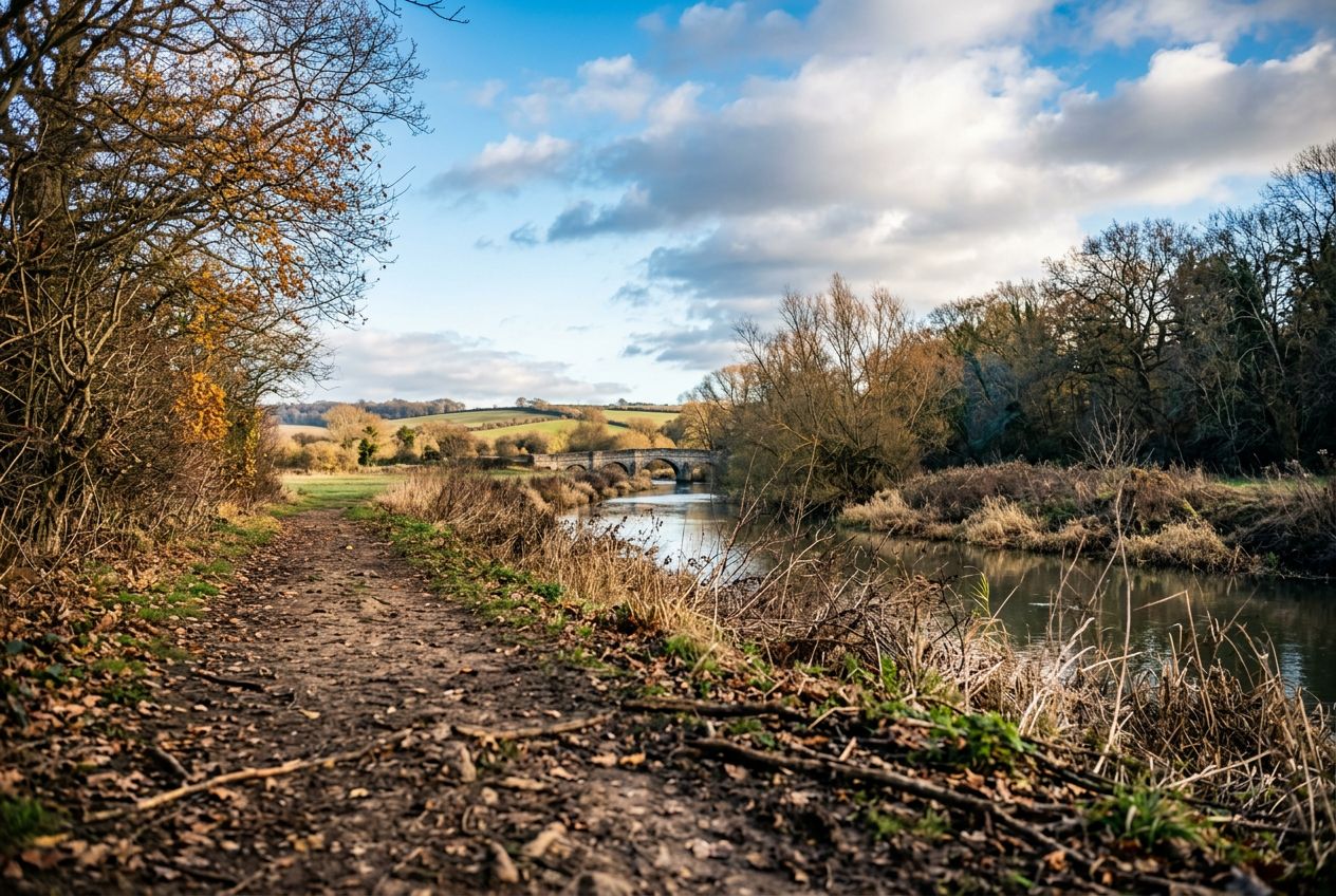
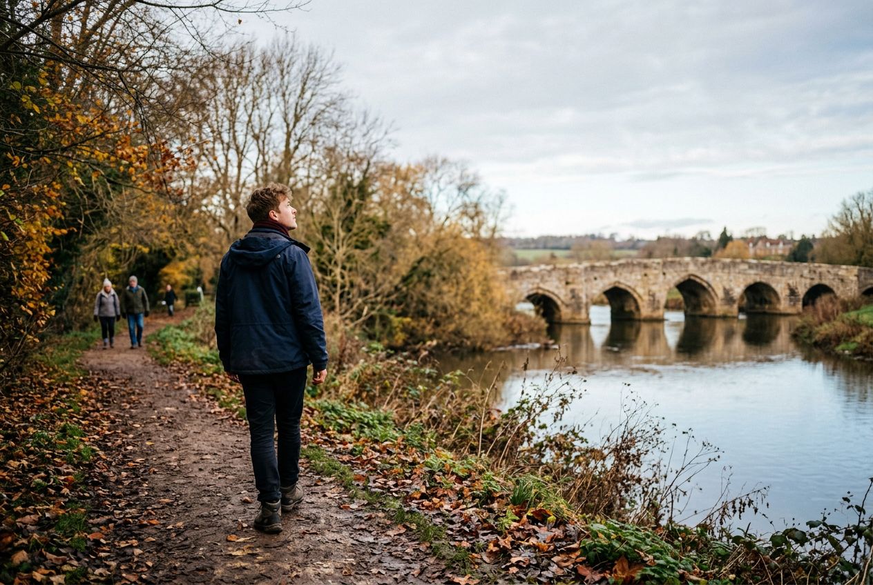
Kettle BridgeAlso called Barming Bridge, it replaced an ancient ford where a crossing has existed since Roman times.
코스 들어보기
50,000개의 이야기가 기다리고 있어요. 하나 재생해 보세요.
코스
지도에서 보기
핀 하나하나가 코스이고, 코스마다 이야기가 가득해요.
 Route Stories
50,000개의 이야기가 기다리고 있어요. 하나 재생해 보세요.
핀 하나하나가 코스이고, 코스마다 이야기가 가득해요.




 90개 언어




















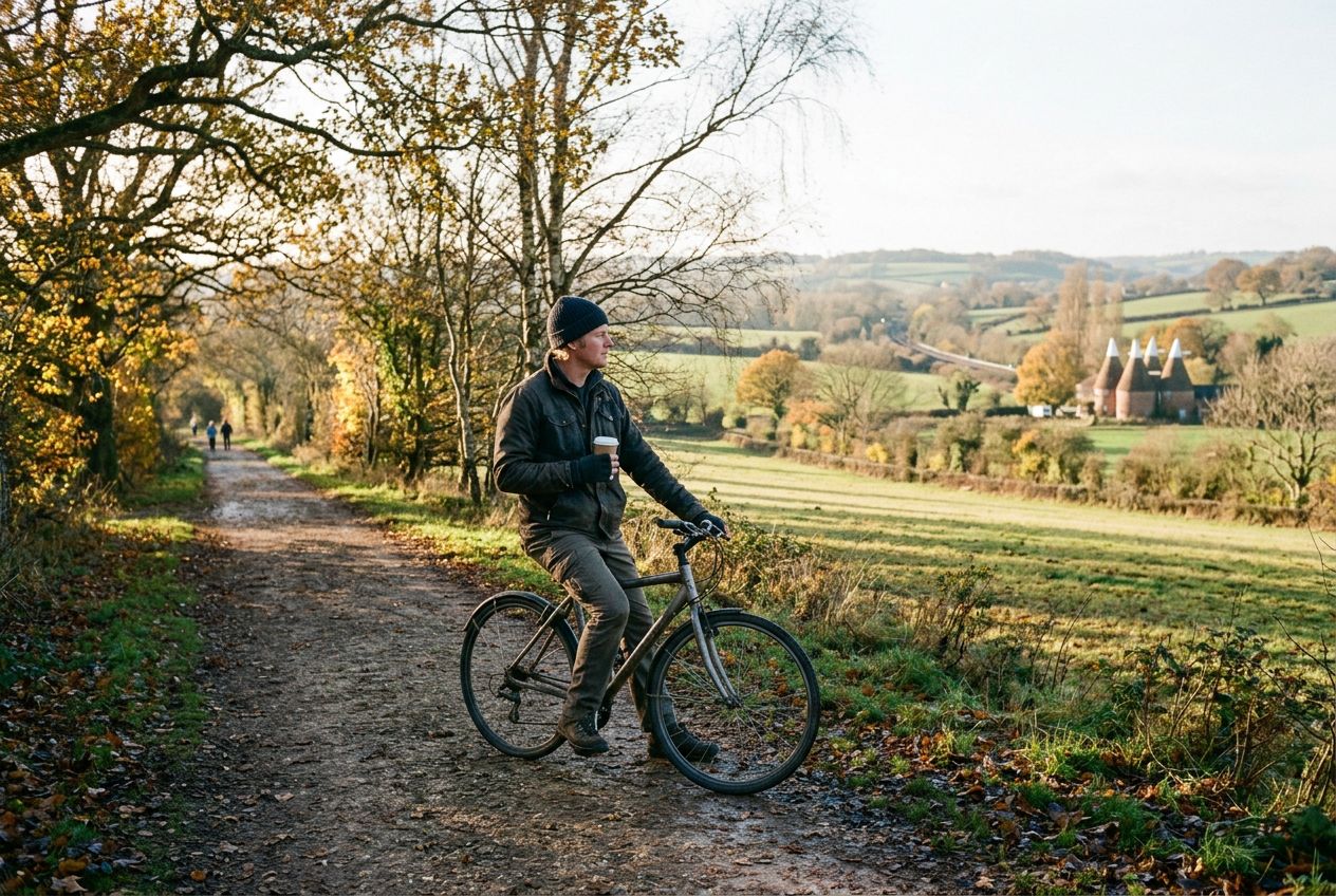
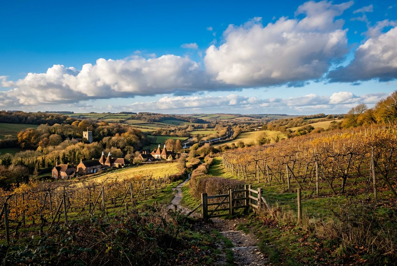
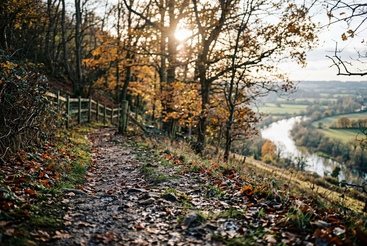
Here is a riverside stroll that climbs a steep hill for wide views over the Medway Valley and can be combined with the Teston walk for a longer day. Highlights include Kettle Bridge, also called Barming Bridge, which replaced an ancient ford, and the local tale that Roman cobbles remain on the riverbed below. Kettle Lane takes its name from cattle once driven to Chatham, and nearby hilltop houses are said to have been used in smuggling.
Wateringbury에서 출발하는 5.7 km 순환 걷거나, 달리거나, 자전거를 타기에 코스, 오르막 88 m.