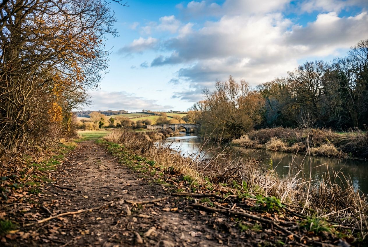
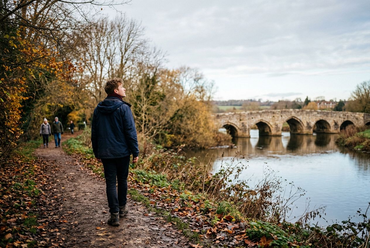
Kettle BridgeAlso called Barming Bridge, it replaced an ancient ford where a crossing has existed since Roman times.
听一条路线
5 万个故事等你来听。点一个播放吧。
路线
地图上看
每个图钉是一条路线,每条路线都满是故事。
 Route Stories
5 万个故事等你来听。点一个播放吧。
每个图钉是一条路线,每条路线都满是故事。




 90 种语言




















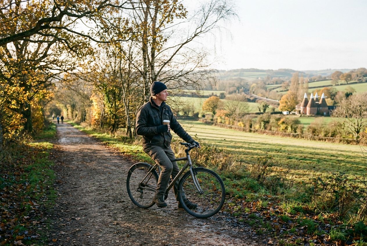
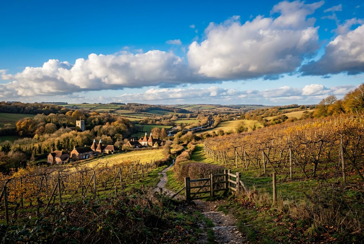
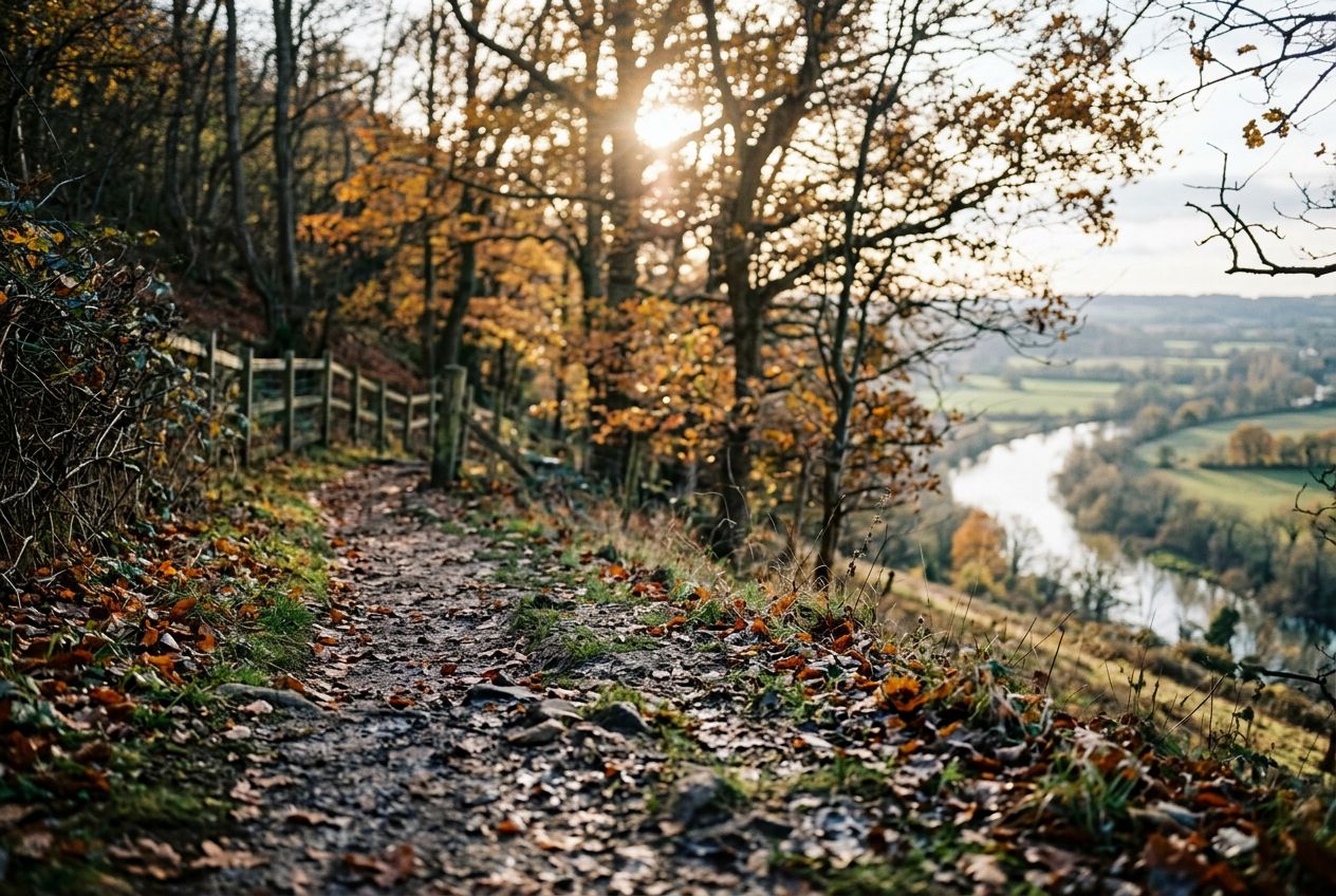
Here is a riverside stroll that climbs a steep hill for wide views over the Medway Valley and can be combined with the Teston walk for a longer day. Highlights include Kettle Bridge, also called Barming Bridge, which replaced an ancient ford, and the local tale that Roman cobbles remain on the riverbed below. Kettle Lane takes its name from cattle once driven to Chatham, and nearby hilltop houses are said to have been used in smuggling.
从Wateringbury出发的一条5.7 km环形路线,步行、跑步或骑行,爬升88 m。