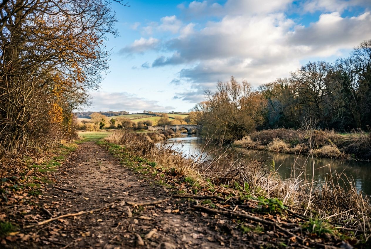
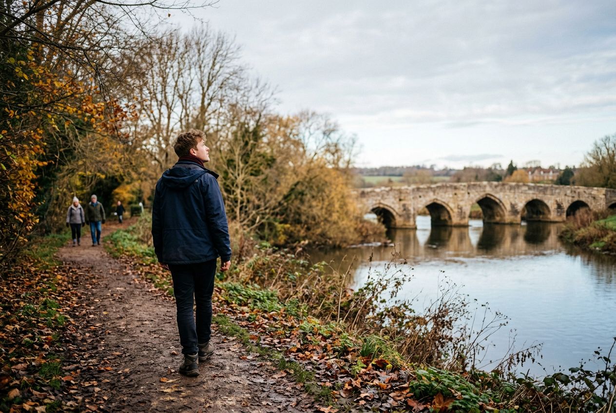
Kettle BridgeAlso called Barming Bridge, it replaced an ancient ford where a crossing has existed since Roman times.
ルートを聴く
5万の物語が待っています。ひとつ再生してみましょう。
ルート
地図で見る
ピンひとつがルートひとつ。どのルートも物語でいっぱいです。
 Route Stories
5万の物語が待っています。ひとつ再生してみましょう。
ピンひとつがルートひとつ。どのルートも物語でいっぱいです。




 90の言語




















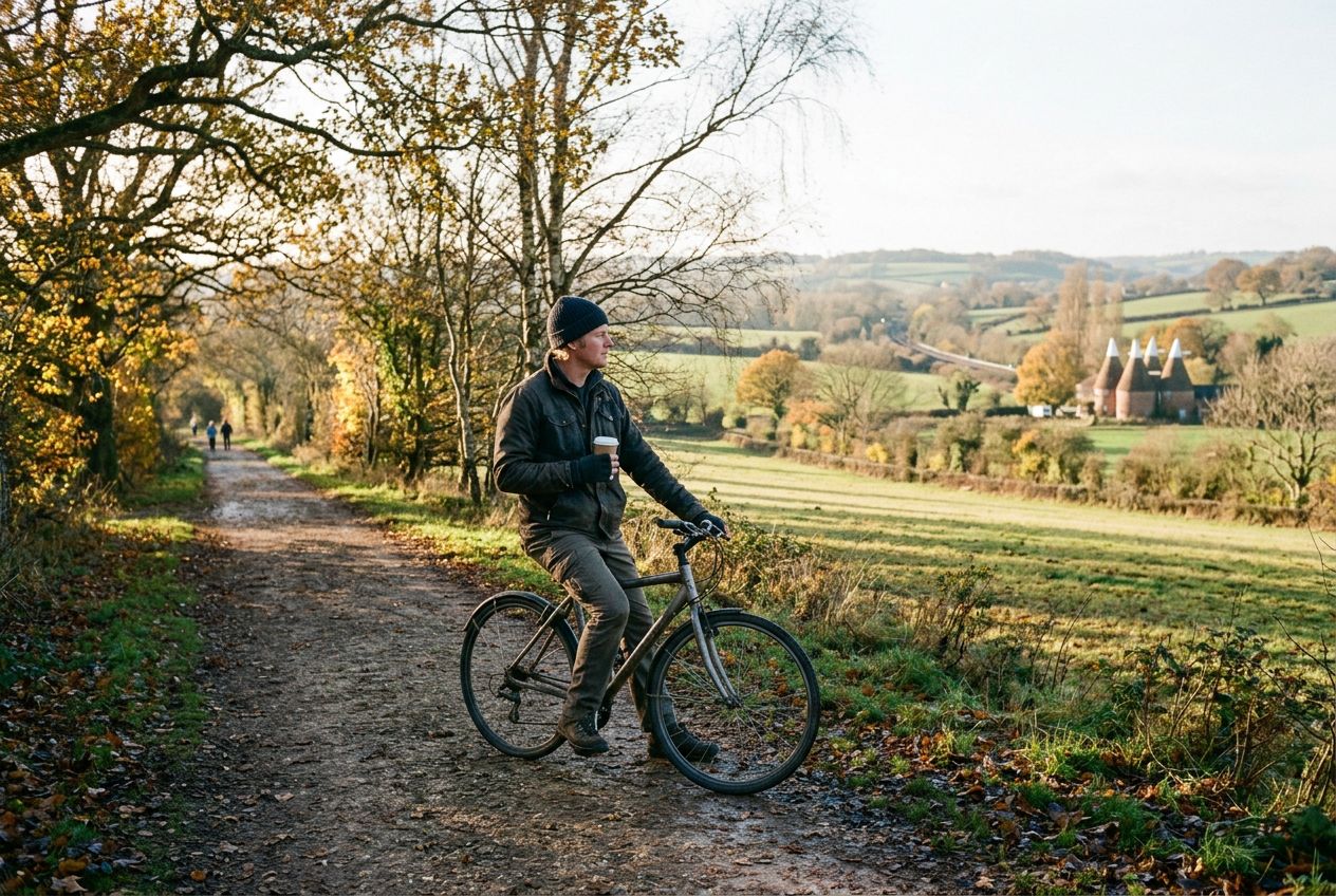
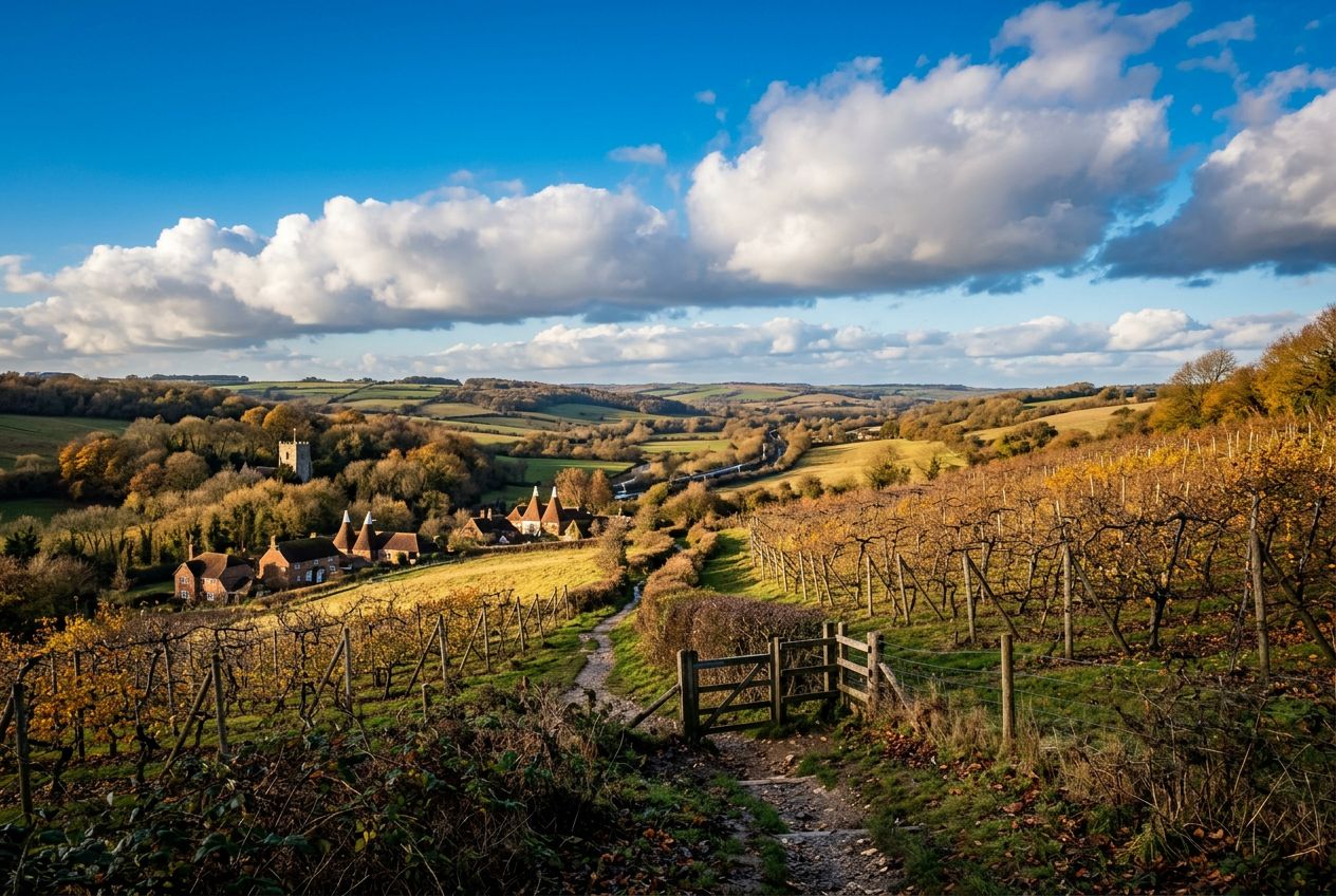
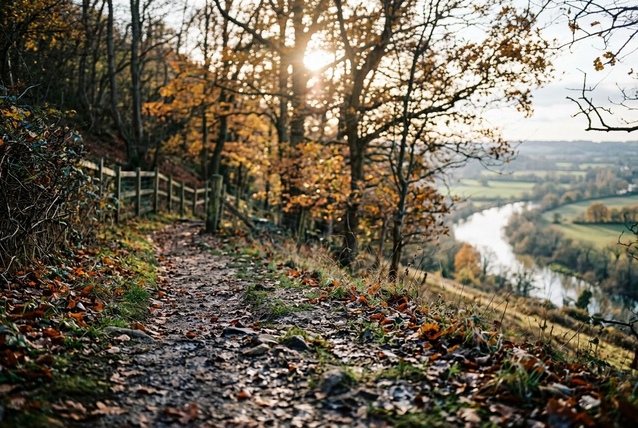
Here is a riverside stroll that climbs a steep hill for wide views over the Medway Valley and can be combined with the Teston walk for a longer day. Highlights include Kettle Bridge, also called Barming Bridge, which replaced an ancient ford, and the local tale that Roman cobbles remain on the riverbed below. Kettle Lane takes its name from cattle once driven to Chatham, and nearby hilltop houses are said to have been used in smuggling.
Wateringburyから歩き、走り、自転車で、周回ルートです。全長5.7 km、登り88 m。