50,000 stories are waiting to be told. Press play on one.
Routes
On the map
Every pin is a route, and every route is full of stories.
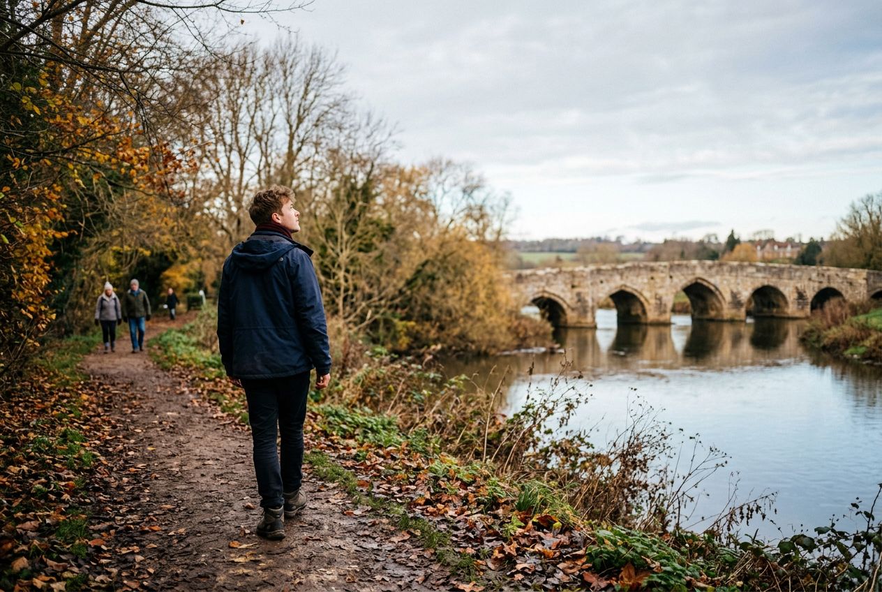
Walk the West Farleigh River route near Wateringbury.
90 languages
Tap to hear previews
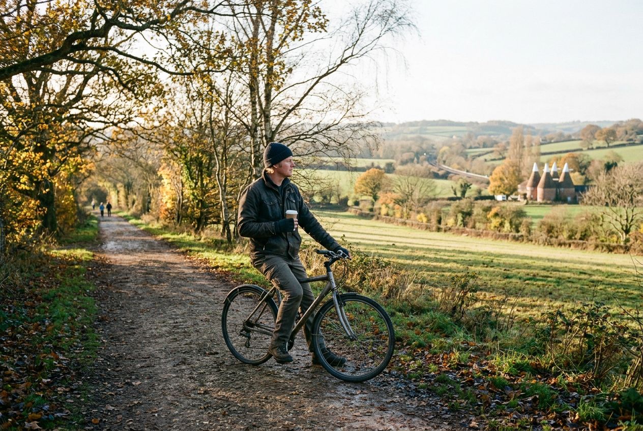
Suitable forWalkingRunningCycling
Riverside3 places along the way
Amazing stories as you explore.
Tap to hear previews
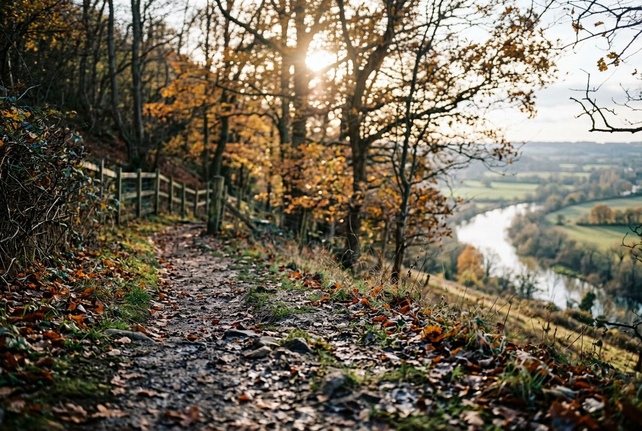
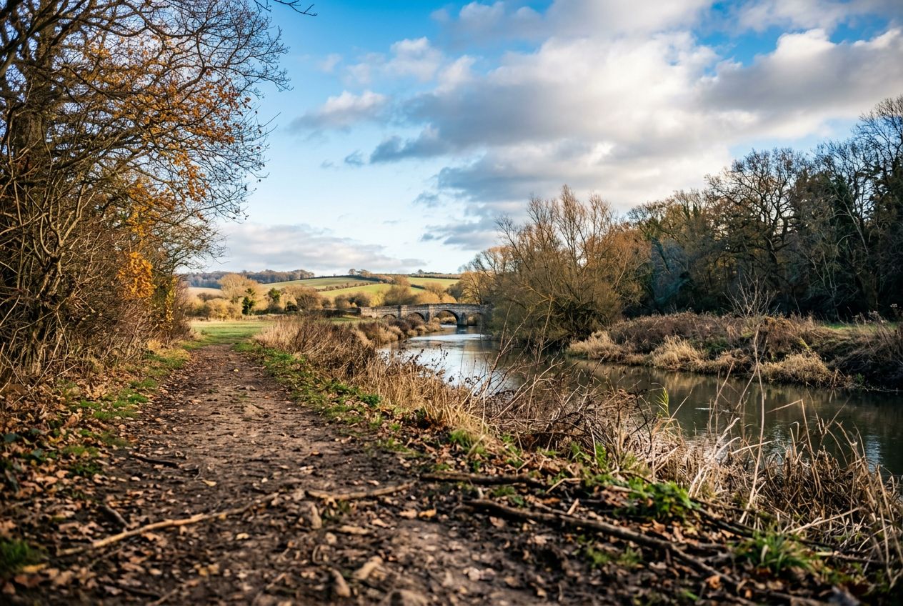
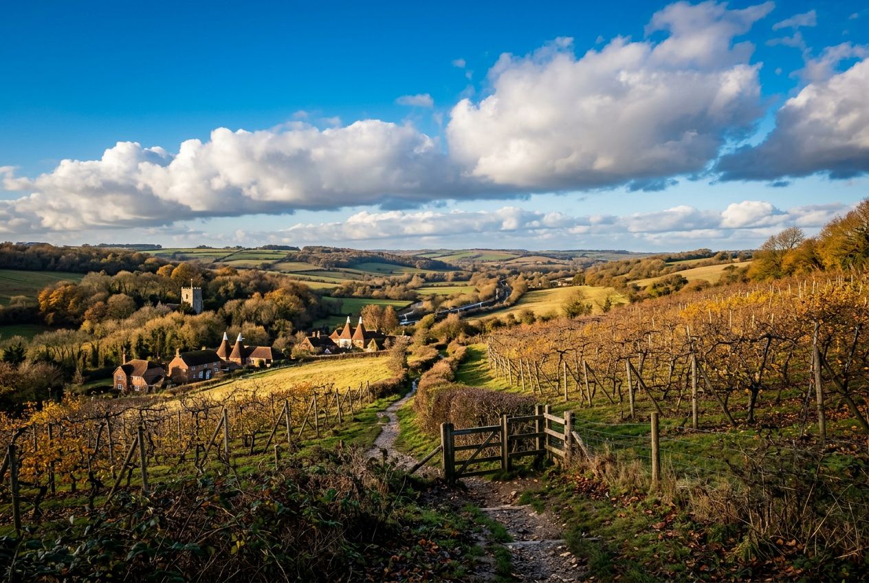
Here is a riverside stroll that climbs a steep hill for wide views over the Medway Valley and can be combined with the Teston walk for a longer day. Highlights include Kettle Bridge, also called Barming Bridge, which replaced an ancient ford, and the local tale that Roman cobbles remain on the riverbed below. Kettle Lane takes its name from cattle once driven to Chatham, and nearby hilltop houses are said to have been used in smuggling.
Along the way
1
Kettle BridgeAlso called Barming Bridge, it replaced an ancient ford where a crossing has existed since Roman times.
2
Medway ValleyWide view from the steep hill climbed on this riverside walk.
3
Kettle LaneIts name comes from Cattle Lane, where herds were driven down to the ford for slaughter at Chatham.
The route
Distance5.7 km
Walking≈ 1 h 25
Running≈ 39 min
Climb↑ 88 m
RouteCircular
A 5.7 km circular route from Wateringbury to walk, run or cycle, with 88 m of climbing.
 Route