



















Route anhören

50.000 Geschichten warten darauf, erzählt zu werden. Hör in eine rein.

Routen

Cycle the Shingle Creek Trail in Williamsburg., Florida

Cycle the Shingle Creek Trail in Williamsburg.

90 Sprachen
Tippen und Hörproben anhören
Geeignet fürRadfahren
Am FlussIn der StadtAuf dem LandFlach und leicht2 Orte am Weg

Faszinierende Geschichten für unterwegs.

Tippen und Hörproben anhören

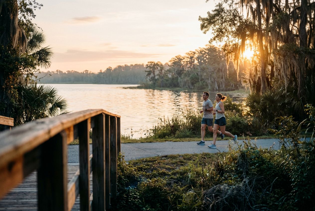
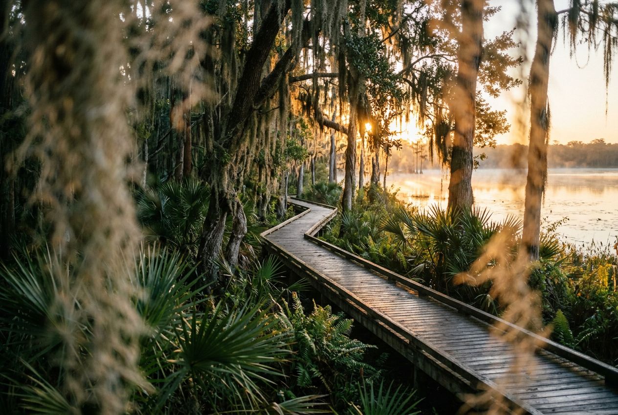
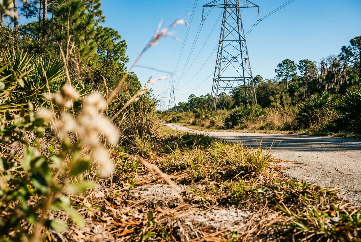
Despite its name, the powerline corridor here is a surprisingly beautiful natural area. The northern edge holds a lush wetland forest full of wildlife, offering a peaceful break from the city. A 3.4-mile loop through the wetland is a popular option, shared by hikers and cyclists. The regional trail also runs through wetlands, hardwood forests, and cypress swamps on smooth paved paths and boardwalks, where you may spot sandhill cranes and alligators.

Unterwegs

1
Shingle Creek Regional TrailA flat 11.6-mile route through wetlands, hardwood forests and cypress swamps.
2
Pine Island East LoopA 3.4-mile loop through lush wetland forest, shared by hikers and cyclists.

Die Route

Strecke19.2 km
Radfahren≈ 1 Std. 12
Anstieg↑ 6 m
VerlaufRundweg

Eine 19.2 km lange Rundroute ab Williamsburg zum Radfahren, mit 6 m Anstieg.

Höhenprofil↑ 6 m insgesamt

Bevor du losgehst

StartJohn Young Parkway, Williamsburg, Florida, 38209Start in Maps öffnen →
ZielZurück am Start
Geschichten auf
Kostenlos mit 5 Leuten teilen