



















Hear a route

50,000 stories are waiting to be told. Press play on one.

Routes

Cycle the Shingle Creek Trail in Williamsburg., Florida

Cycle the Shingle Creek Trail in Williamsburg.

90 languages
Tap to hear previews
Suitable forCycling
RiversideIn townCountrysideFlat and easy2 places along the way

Amazing stories as you explore.

Tap to hear previews

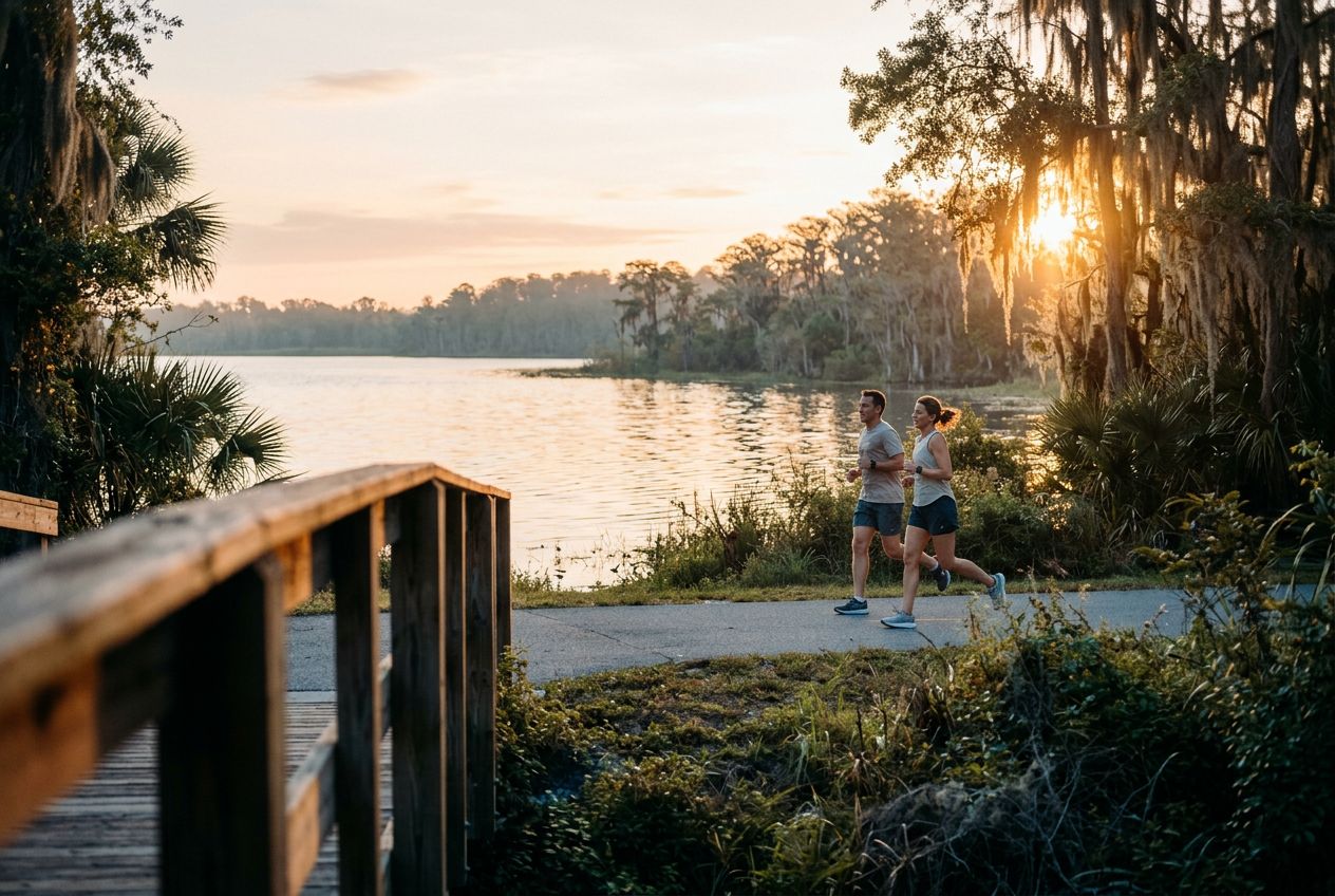
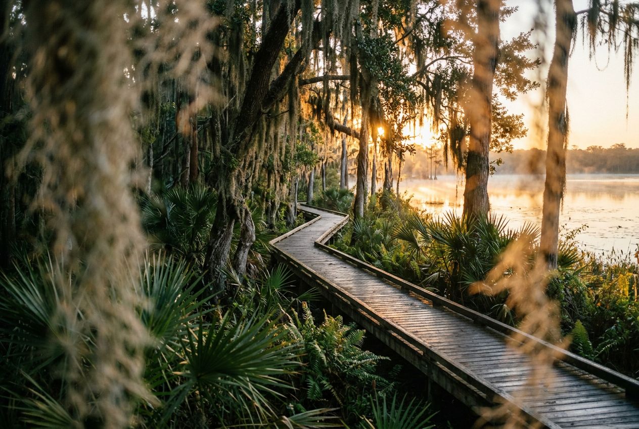
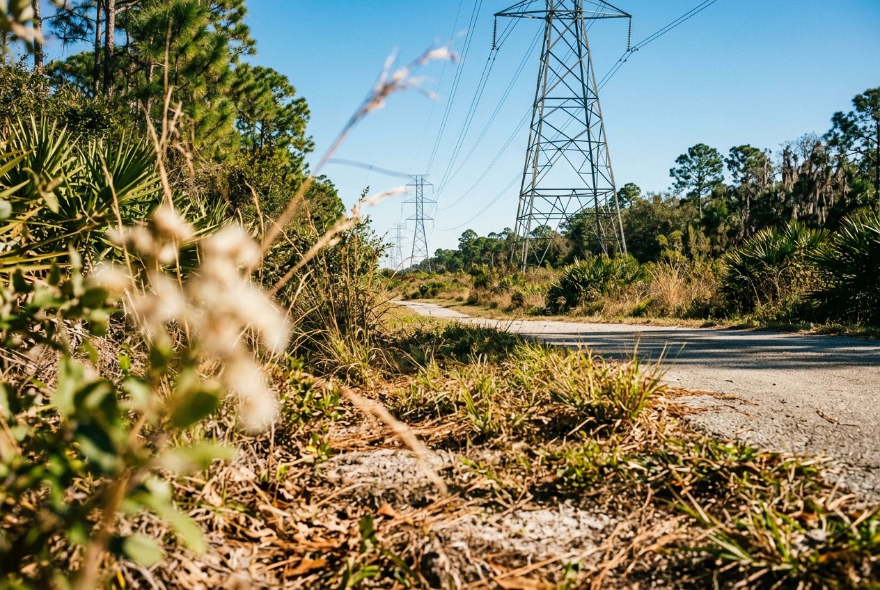
Despite its name, the powerline corridor here is a surprisingly beautiful natural area. The northern edge holds a lush wetland forest full of wildlife, offering a peaceful break from the city. A 3.4-mile loop through the wetland is a popular option, shared by hikers and cyclists. The regional trail also runs through wetlands, hardwood forests, and cypress swamps on smooth paved paths and boardwalks, where you may spot sandhill cranes and alligators.

Along the way

1
Shingle Creek Regional TrailA flat 11.6-mile route through wetlands, hardwood forests and cypress swamps.
2
Pine Island East LoopA 3.4-mile loop through lush wetland forest, shared by hikers and cyclists.

The route

Distance19.2 km
Cycling≈ 1 h 12
Climb↑ 6 m
RouteCircular

A 19.2 km circular route from Williamsburg to cycle, with 6 m of climbing.

Elevation↑ 6 m in total

Before you go

StartJohn Young Parkway, Williamsburg, Florida, 38209Open the start in Maps →
FinishBack where you started
Stories told in
Share it with 5 people for free