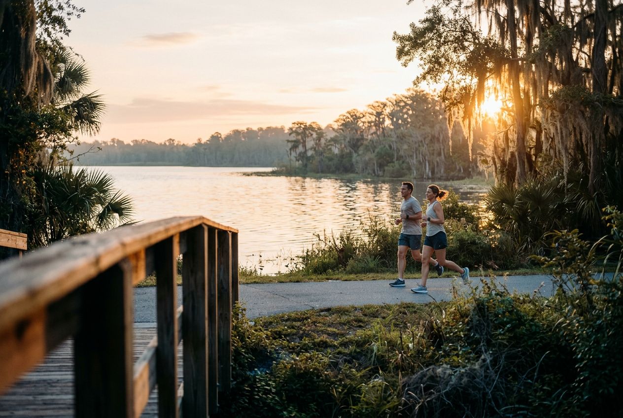
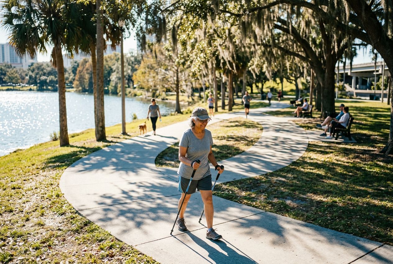
Shingle Creek Regional TrailA flat 11.6-mile route through wetlands, hardwood forests and cypress swamps.
코스 들어보기
50,000개의 이야기가 기다리고 있어요. 하나 재생해 보세요.
코스
지도에서 보기
핀 하나하나가 코스이고, 코스마다 이야기가 가득해요.
 Route Stories
50,000개의 이야기가 기다리고 있어요. 하나 재생해 보세요.
핀 하나하나가 코스이고, 코스마다 이야기가 가득해요.




 90개 언어




















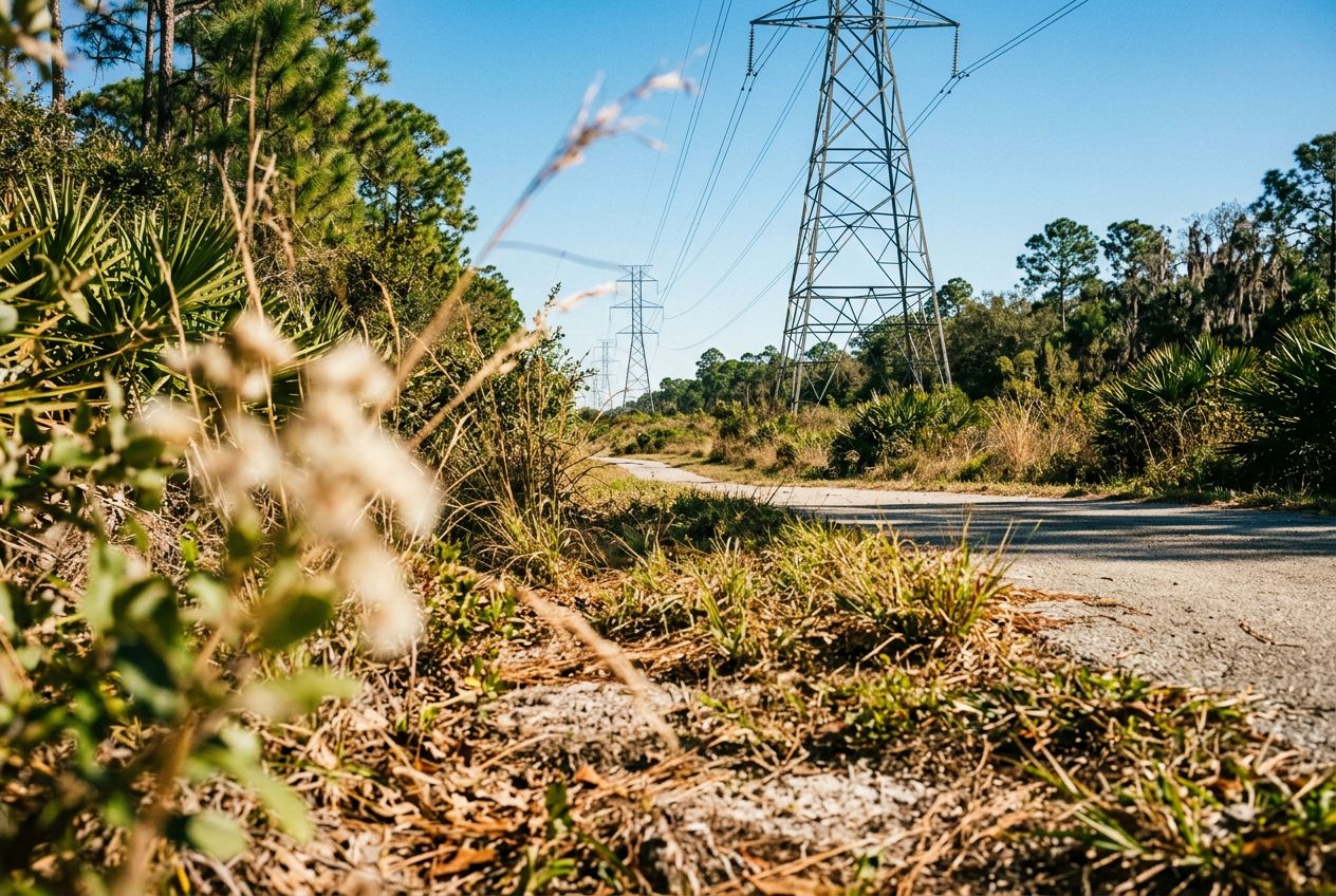
Despite its name, the powerline corridor here is a surprisingly beautiful natural area. The northern edge holds a lush wetland forest full of wildlife, offering a peaceful break from the city. A 3.4-mile loop through the wetland is a popular option, shared by hikers and cyclists. The regional trail also runs through wetlands, hardwood forests, and cypress swamps on smooth paved paths and boardwalks, where you may spot sandhill cranes and alligators.
Williamsburg에서 출발하는 19.2 km 순환 자전거를 타기에 코스, 오르막 6 m.